Parking
Start from Maclaren Summit Trailhead on the north side of Denali Highway near MP 37. The MacLaren Summit roadside rest stop is a nearby landmark; a dedicated lot, parking capacity and fees were not confirmed.
#4 of 18 trails in Denali Highway
Denali Highway, AK
A full-day tundra hike to Sevenmile Lake with Alaska Range views.
Overview
Map & elevation
Plan your hike

The highest, rockiest slopes around here are a summer buffet for grizzly bears.
Denali Highway Tour Guide
Parkwolf is a GPS audio tour guide for Denali Highway. As you drive, it chimes in with what’s ahead: hidden gems, upcoming stops, history, geology, and wildlife, right through your car’s speakers.
See the Denali Highway audio tourRecorded for this trailhead
Maclaren Summit: A Short Walk Above the Valley“You're approaching Maclaren Summit, where the road crests at about four thousand feet above the Maclaren River valley. In clear weather, look for Mount Hayes rising beyond the river and Maclaren Glacier in the distance.”
Plays as you drive up to this trailhead in the Parkwolf Denali Highway Tour Guide.
More stories near here in the app
“Fantastic app with many points of information… It’s great to just turn on while you’re driving and it gives you an audio tour of the national Park. We love it!!!!”


Trail guide
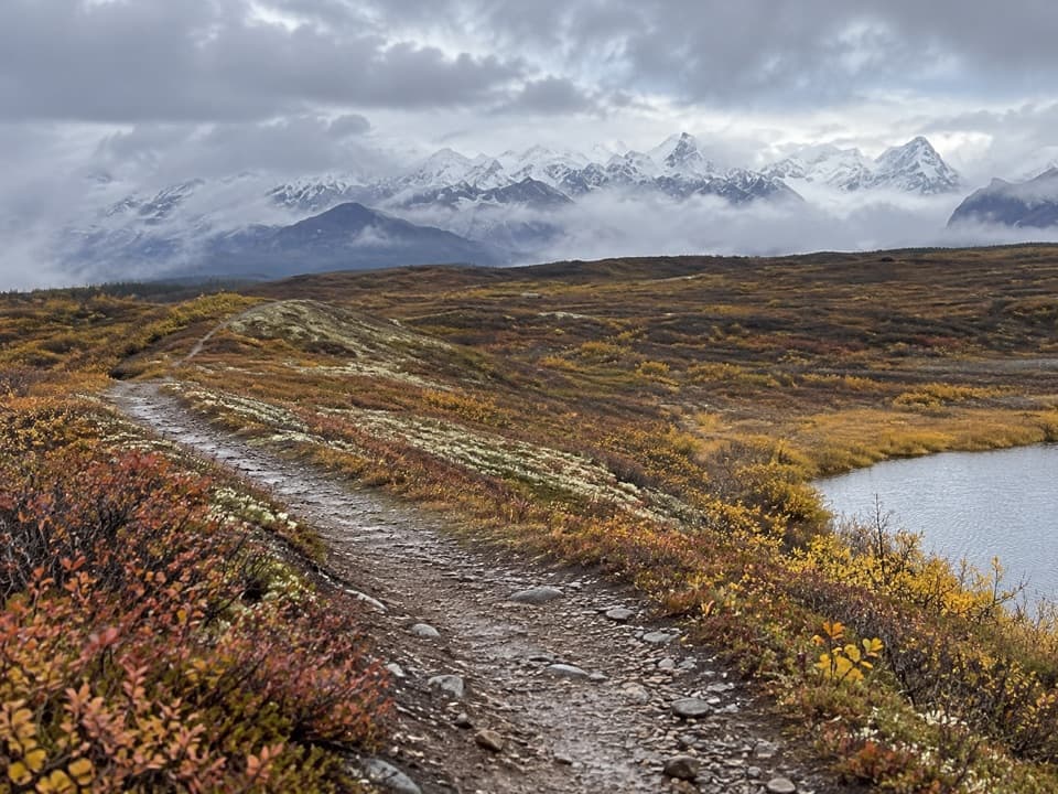
Maclaren Summit Trail follows a designated multi-use route from Denali Highway milepost 37 to the west end of Sevenmile Lake, crossing an open tundra bench below the Alaska Range. The full experience is an out-and-back of about 9.5 miles each way, or 19 miles total. It ends at the lake, not on a summit. Choose it for a long day of open country, small lakes and mountain views; skip it if you need a short stop along the drive. Set aside about 10 hours for the return. That's a planning estimate based on the distance, since no official hiking time is published. Older route material gives shorter figures, so this guide follows the mapped line all the way to the lake.
From the highway, the trail heads north across low tundra on a broad bench, passing numerous small lakes. It rolls up and down without a long, steep climb. A 2019 account describes much of the tread as fairly smooth, with rocky sections; expect a mix rather than a maintained gravel path. The ground is open, and the Alaska Range stays in view along the route. Near the north end, climb a small rise for a higher view over Sevenmile Lake, then continue down toward its western edge. Turn back there and follow the same corridor south. A separate shoreline connector leads toward Glacier Gap; adding it changes the route into a different, longer loop.
The access is on the north side of Denali Highway near MP 37, at Maclaren Summit Trailhead. An information kiosk was installed there in 2019, and the nearby MacLaren Summit roadside rest stop is a useful landmark. A dedicated parking lot, its capacity and any fee were not confirmed. No potable water, toilets or food service are confirmed at the trailhead or along the trail, so treat this as a self-supported full-day outing. This is public state land with multiple uses, including hiking, hunting, berry picking and off-road vehicles. Area rules keep off-road vehicles on designated routes and limit them to 1,500 pounds curb weight; check the kiosk before setting out.
The trail was completed in 2015 as part of a project begun in 2007 to replace older paths through boggy lowlands with newer routes between the highway and Sevenmile Lake. That history fits the broad bench you follow here: this is a long traverse through rolling tundra, not a steep summit climb. The route sits in the Tangle Lakes Archaeological District. Regional information describes hunters using tools made from the surrounding landscape about 12,000 years ago; that is context for the district, not a claim of an archaeological site on the trail itself.
The low vegetation includes moss, dwarf birch, willow, lichen and berries. One late-June 2019 account mentions ptarmigan, a swan, golden plovers and wildflowers along the trail; treat those as possibilities, not a wildlife checklist. At the rise above Sevenmile Lake, frame the curving track and tundra in front with the lake and Alaska Range beyond. The route's payoff is the sweep of open landscape along the way, with the lake at the far end, rather than one single summit panorama.
Wildlife
 56 sightingsMooseMost seen around 7 PMSighting map
 37 sightingsCaribouMost seen around 8 PMSighting map
 26 sightingsBald EagleMost seen around 11 AMSighting map
 33 sightingsTrumpeter SwanMost seen around 7 PMSighting map
 25 sightingsBeaverMost seen around 9 PMSighting map
 17 sightingsPorcupineMost seen around 10 PMSighting map
Sighting maps show where each species has been reported across Denali Highway. Wildlife moves, so no sighting is guaranteed.
Keep exploring
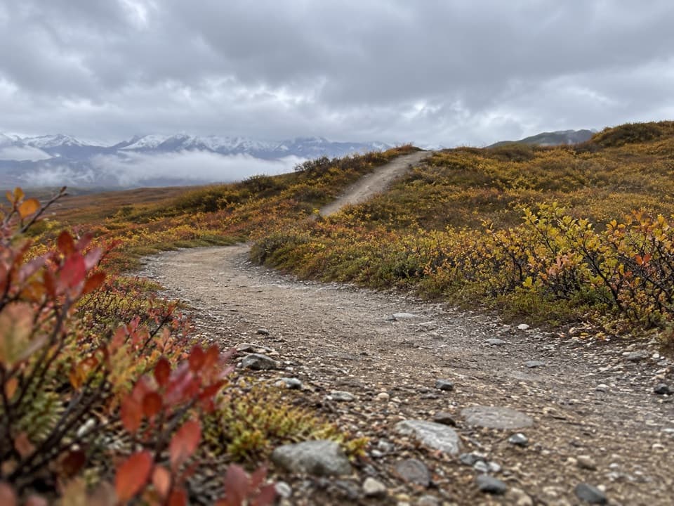 ModerateOsar Lake Trail14.2 mi · 8 hr · 0.1 mi awayA long esker walk to the northwest shore of Osar Lake.
 ChallengingOld Sevenmile Lake Trail17 mi · 11 hr · 3 mi awayA long, muddy hike to Sevenmile Lake's west side.
 ChallengingMaclaren River Trail16.3 mi · 9 hr · 4.8 mi awayA long ATV track into the Maclaren River valley
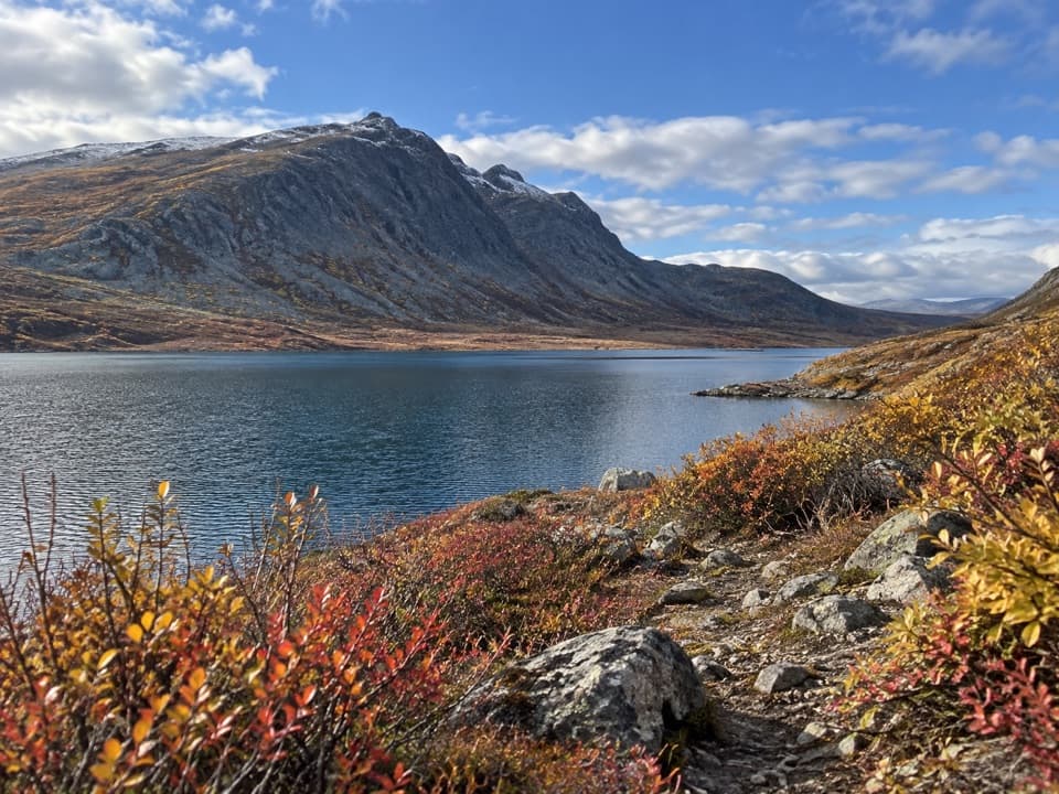 ChallengingGlacier Gap Lake to Sevenmile Lake Trail17 mi · 9 hr · 5.9 mi awayA cold creek crossing opens into two high tundra lakes.
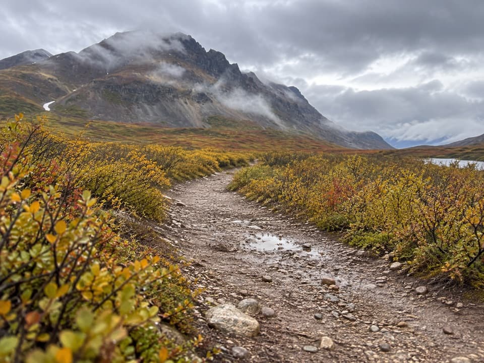 EasyLandmark Gap Trail North5.1 mi · 2.5 hr · 10.4 mi awayA gentle track to Landmark Gap Lake and its grayling pools.
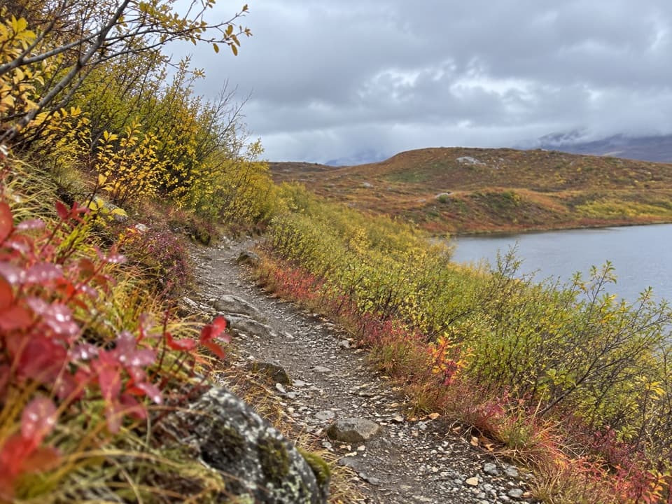 EasyTangle Lakes Foot Trail1 mi · 30 min · 13.6 mi awayClimb an esker for a quick, wide look over the Tangle Lakes.
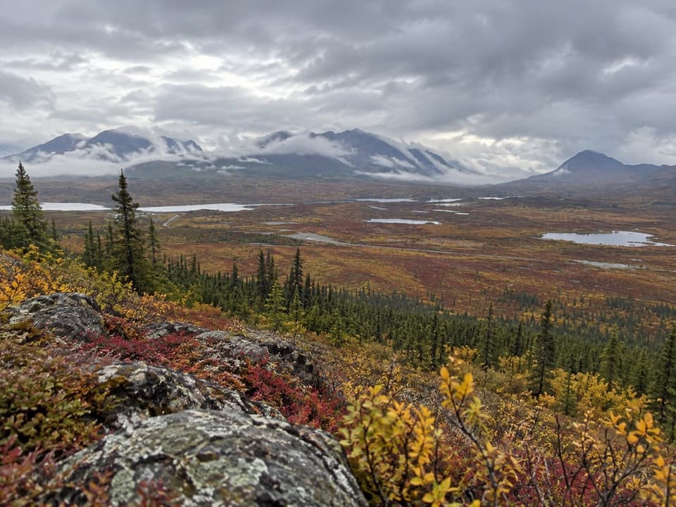 ChallengingSwede Mountain Trail1.8 mi · 2 hr · 14.8 mi awayA steep climb to broad views over the Tangle Lakes.
 Sight · 0.1 mi awayMaclaren SummitA high tundra pass with sweeping Alaska Range and river-valley views.
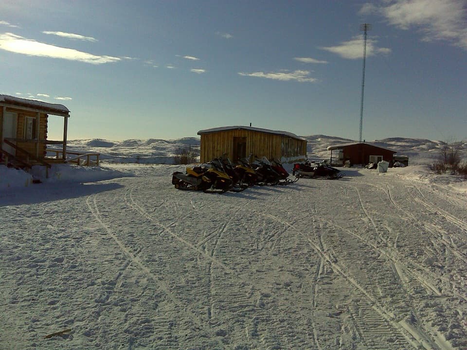 Lodging · 3.8 mi awayMaclaren River LodgeA real roadhouse stop where a night can save a long drive.
 Scenic pullout · 4.4 mi awayMaclaren Glacier ViewpointA quick river stop with a glacier about 16 miles away.
 Sight · 5.5 mi awayCrazy NotchA glacial-stream notch that catches huge winter drifts.
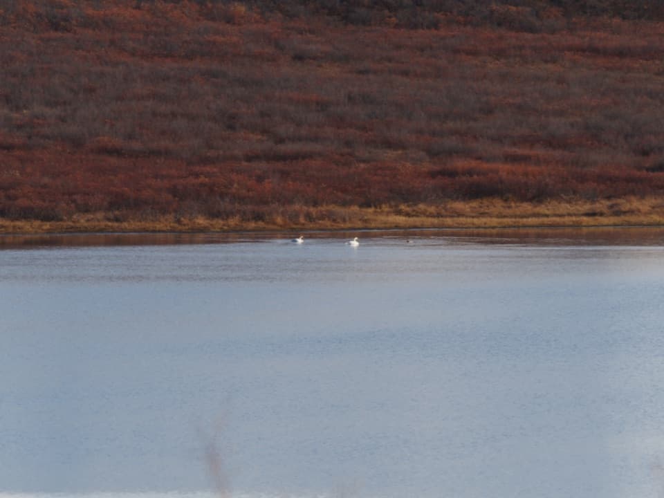 Scenic pullout · 8.4 mi awayWaterfowl Lakes ViewpointA roadside scan for swans, ducks and other lake birds.
Parkwolf’s Denali Highway ranking

The audio tour guide for the drive, plus offline maps, trails, and wildlife heatmaps for when the signal drops.