Parking
The trail leaves Denali Highway at MP 24.6, about 150 yards east of Rock Creek Bridge. A developed lot and parking capacity were not confirmed.
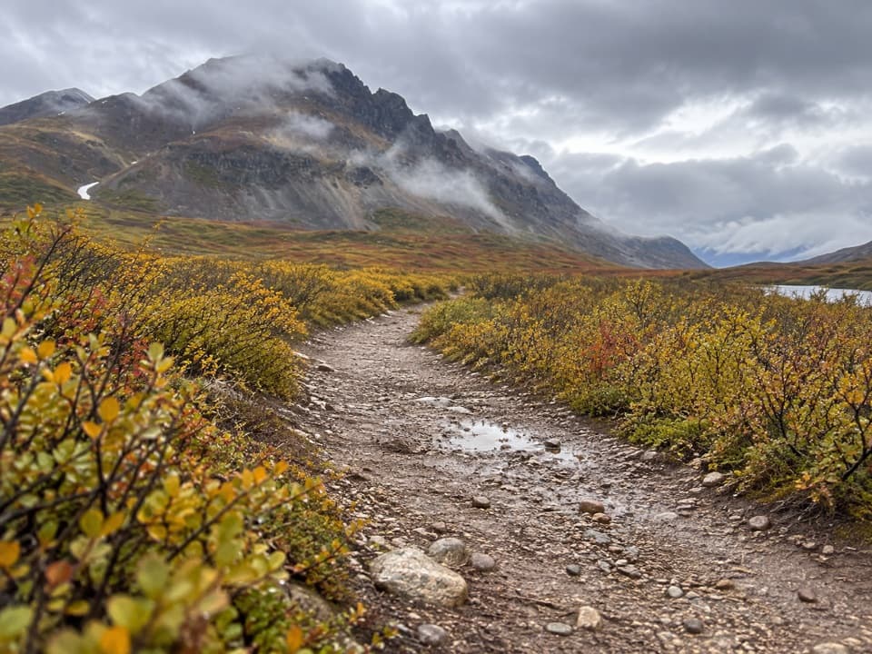
#1 of 18 trails in Denali Highway
Denali Highway, AK
A gentle track to Landmark Gap Lake and its grayling pools.
Overview
Map & elevation
Plan your hike

The highest, rockiest slopes around here are a summer buffet for grizzly bears.
Denali Highway Tour Guide
Parkwolf is a GPS audio tour guide for Denali Highway. As you drive, it chimes in with what’s ahead: hidden gems, upcoming stops, history, geology, and wildlife, right through your car’s speakers.
See the Denali Highway audio tourRecorded for this trailhead
Landmark Gap Trail North: Lake and Grayling Pools“You're nearing the Landmark Gap Trail North trailhead, the start of a gentle walk to a lake framed by an open mountain gap. Allow about two and a half hours for roughly five miles out and back.”
Plays as you drive up to this trailhead in the Parkwolf Denali Highway Tour Guide.
More stories near here in the app
“Fantastic app with many points of information… It’s great to just turn on while you’re driving and it gives you an audio tour of the national Park. We love it!!!!”


Trail guide
Landmark Gap Trail North is a broad out-and-back from Denali Highway Mile 24.6 to the south end of Landmark Gap Lake. The mapped track measures about 2.55 miles each way, so plan on roughly 5.1 miles round-trip and about 2½ hours with time at the lake. The designated route is also described as about three miles to the lake; that figure is best treated as a rounded northbound distance, since the mapped line is shorter. This is an easy, low-gain walk by Alaska standards, but it takes time: the lake, outlet pools and open mountain gap are the payoff, not a quick roadside view.
The trail leaves the highway at Mile 24.6, about 150 yards east of Rock Creek Bridge. A large stream crossing comes roughly a quarter-mile in. The bottom is rocky and firm, but the route also has marshy spots, so expect wet footing in places. This is a shared, designated corridor with off-highway vehicle use; keep to the track and stay aware of other users. No developed parking capacity or services at the access were confirmed.
Most of the walk follows a broad, hardened track through open tundra and low hills. The tread is rocky and generally dry, with little climbing; the sampled route rises gradually from about 947 to 980 meters over the mapped leg. Small rises along the way give the clearest views across the surrounding country. The route follows the outlet flowing from Landmark Gap Lake, rather than Rock Creek, and the scenery opens gradually as you head north.
In the last half-mile, the track comes alongside the outlet several times. This is where the deeper pools are, and where anglers look for Arctic grayling; lake trout are associated with the lake itself. Much of the shoreline is shallow, so the outlet pools are the more promising fishing stops. The lake’s south end is the turn-around. From one of the low rises, frame the outlet with the lake and mountain gap behind it to show how the water threads through the valley.
The trail crosses a highly sensitive archaeological area within the Tangle Lakes Archaeological District. More than 600 archaeological sites have been documented across the wider district, which preserves evidence of Indigenous subsistence and travel in the region going back thousands of years. That history belongs to the landscape, but no particular artifact or feature on this trail is identified for visitors to inspect. Stay on the designated route and leave rocks, soil and anything you find in place.
This is the north-side route from Mile 24.6. The separate Landmark Gap Trail South begins at Mile 24.7 on the other side of the highway and branches toward different destinations; don’t combine those systems when estimating this walk. The North trail is a gradual, open walk for someone willing to spend a few hours reaching the lake and returning the same way. No toilet, potable water, food service, fee, or pet rule was confirmed for this access, so don’t count on a service stop here.
Wildlife
 56 sightingsMooseMost seen around 7 PMSighting map
 37 sightingsCaribouMost seen around 8 PMSighting map
 26 sightingsBald EagleMost seen around 11 AMSighting map
 33 sightingsTrumpeter SwanMost seen around 7 PMSighting map
 25 sightingsBeaverMost seen around 9 PMSighting map
 17 sightingsPorcupineMost seen around 10 PMSighting map
Sighting maps show where each species has been reported across Denali Highway. Wildlife moves, so no sighting is guaranteed.
Keep exploring
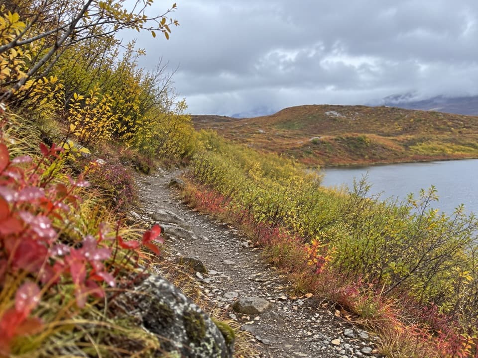 EasyTangle Lakes Foot Trail1 mi · 30 min · 3.3 mi awayClimb an esker for a quick, wide look over the Tangle Lakes.
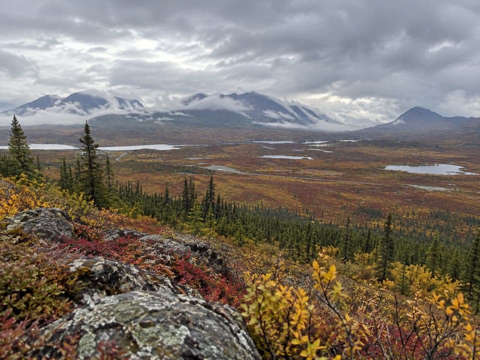 ChallengingSwede Mountain Trail1.8 mi · 2 hr · 4.5 mi awayA steep climb to broad views over the Tangle Lakes.
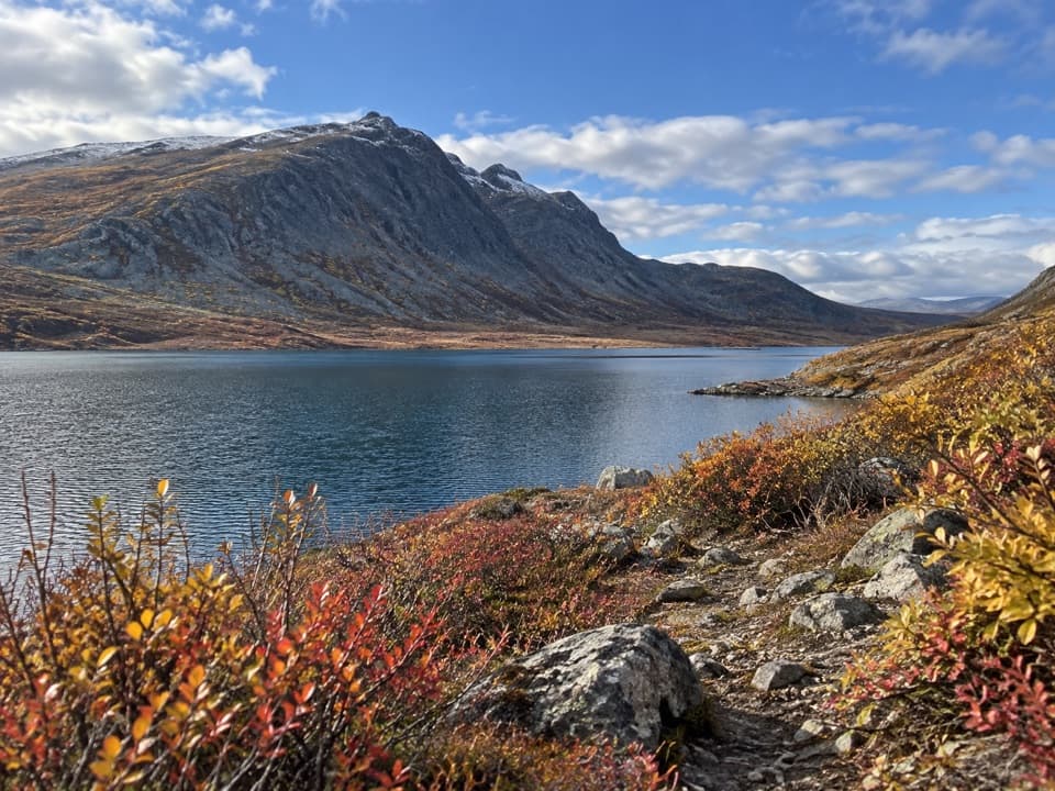 ChallengingGlacier Gap Lake to Sevenmile Lake Trail17 mi · 9 hr · 4.6 mi awayA cold creek crossing opens into two high tundra lakes.
 ModerateSwede Lake Trail6.2 mi · 3 hr · 7.4 mi awayA six-mile out-and-back on the shared Swede Lake track
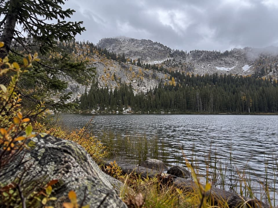 ChallengingUpper Dickey Lake Trail32.3 mi · 1.1 days · 7.4 mi awayRemote 32-mile out-and-back to an undeveloped camp near Dickey Lake.
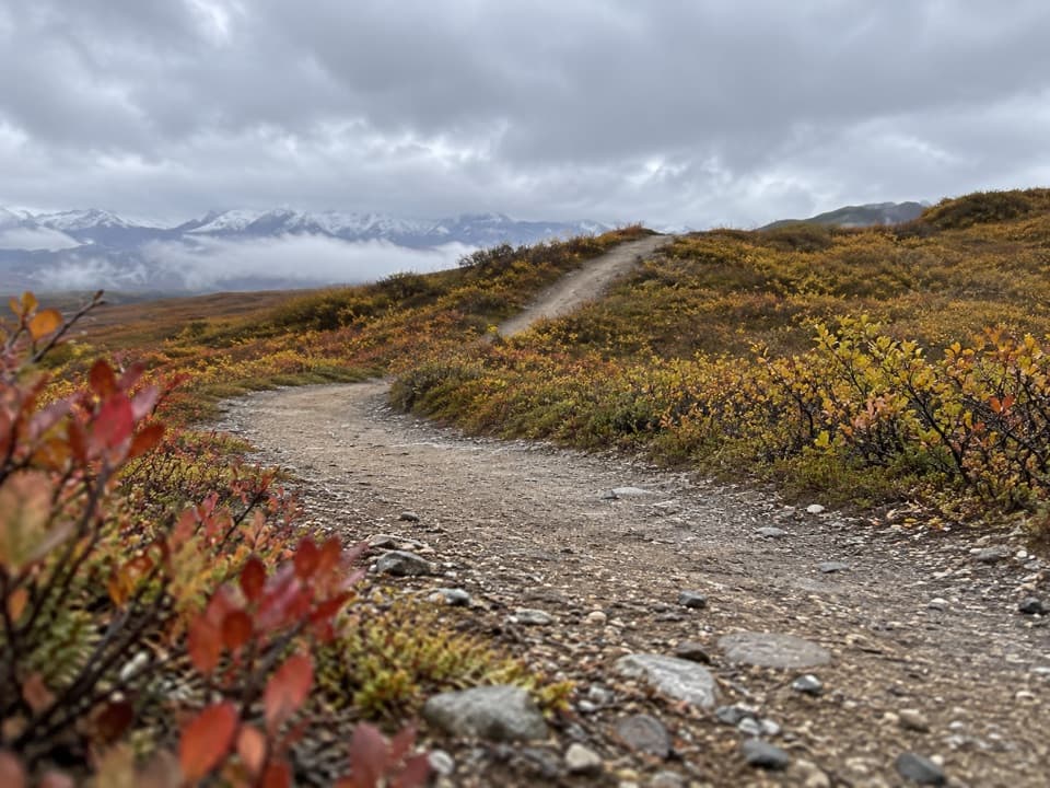 ModerateOsar Lake Trail14.2 mi · 8 hr · 10.3 mi awayA long esker walk to the northwest shore of Osar Lake.
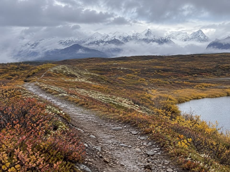 ChallengingMaclaren Summit Trail19 mi · 10 hr · 10.4 mi awayA full-day tundra hike to Sevenmile Lake with Alaska Range views.
 ChallengingOld Sevenmile Lake Trail17 mi · 11 hr · 12.2 mi awayA long, muddy hike to Sevenmile Lake's west side.
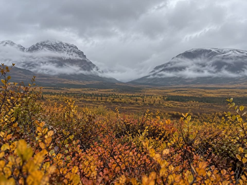 Sight · 2 mi awayLandmark Gap ViewA 10,000-year-old glacial gap frames McGinnis Peak and Mount Moffit.
 Lodging · 2.6 mi awayTangle Lakes LodgeMeals, groceries, and a lakeside cabin in one remote stop.
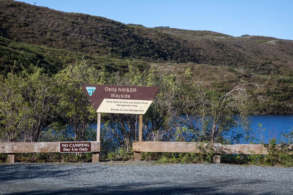 Picnic area · 3 mi awayDelta Wild and Scenic River WaysideA Tangle Lakes picnic stop with a launch for longer canoe trips.
 Campground · 3.2 mi awayTangle Lakes CampgroundA lakeside camp that doubles as the Delta River's 30-mile put-in.
 Lodging · 4.1 mi awayTangle River InnA mile-20 roadhouse looking across Round Tangle Lake and Landmark Gap.
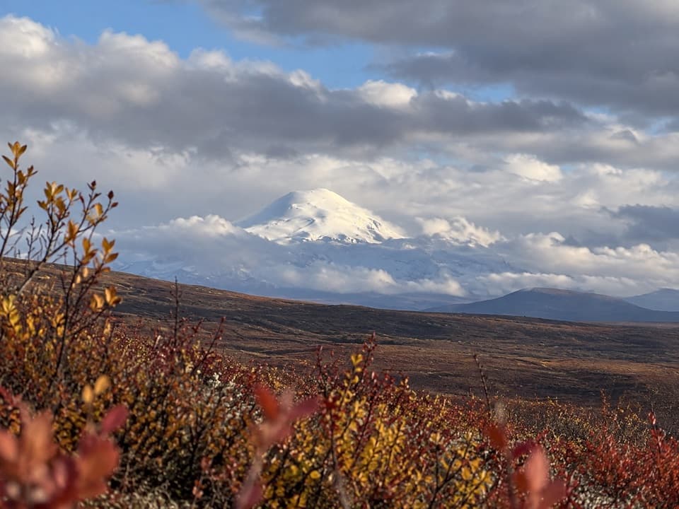 Sight · 4.5 mi awayWrangell Mountain ViewpointThree Wrangell peaks line up beyond a wide, brushy basin.
Parkwolf’s Denali Highway ranking

The audio tour guide for the drive, plus offline maps, trails, and wildlife heatmaps for when the signal drops.
