Parking
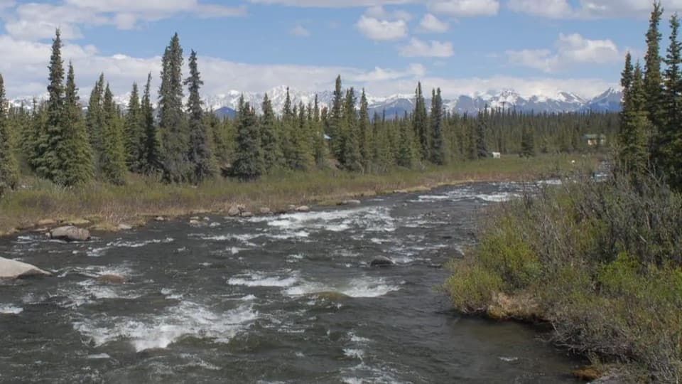
Use the gravel parking areas at Brushkana Creek Campground, Denali Highway Milepost 104.5. BLM describes several vehicles fitting in each campground loop; the creekside day-use area has parking for two cars.
#8 of 18 trails in Denali Highway
Denali Highway, AK
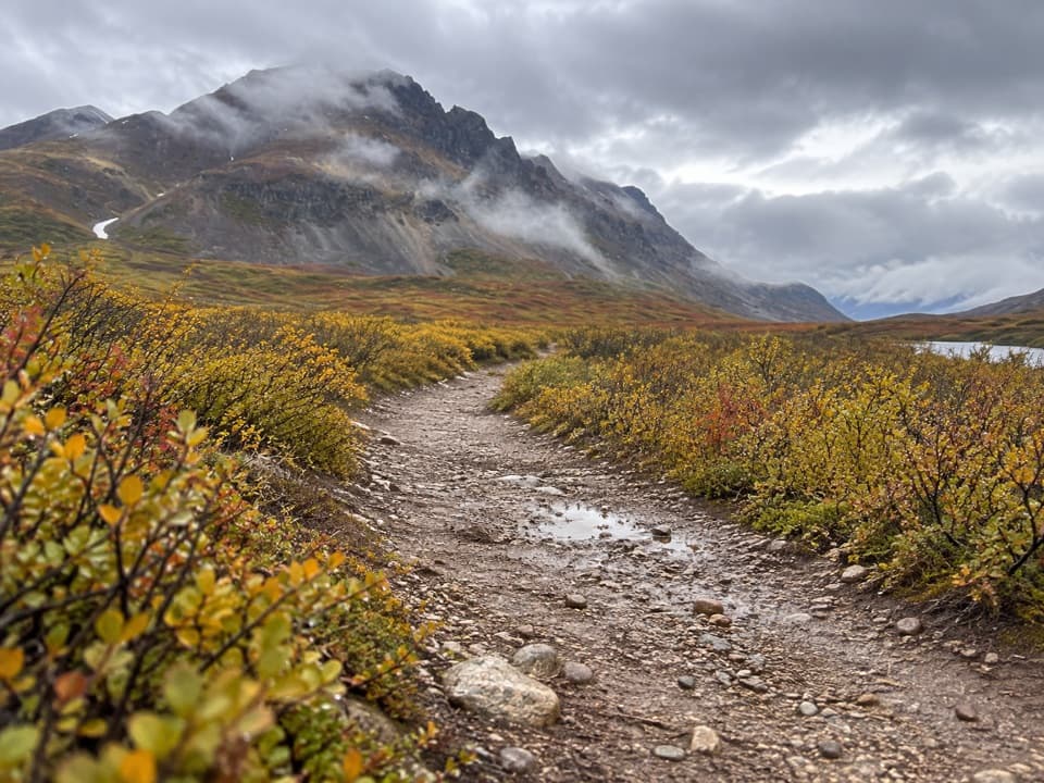
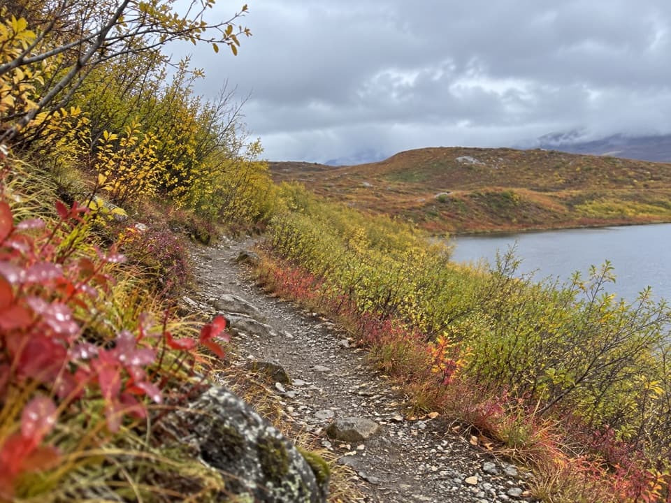
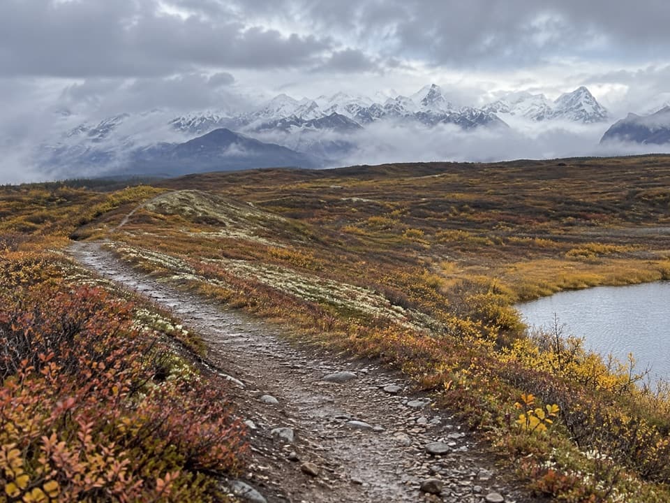
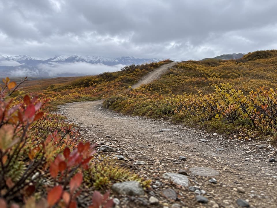
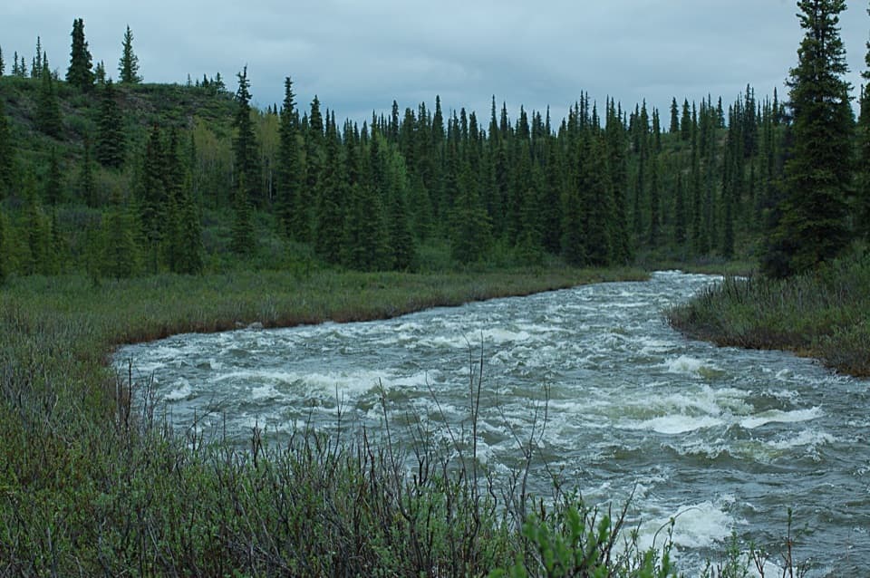
A rough benchland track leads toward the creek’s historic crossing.
Overview
Map & elevation
Plan your hike

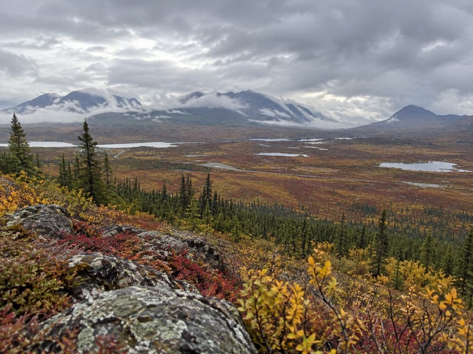
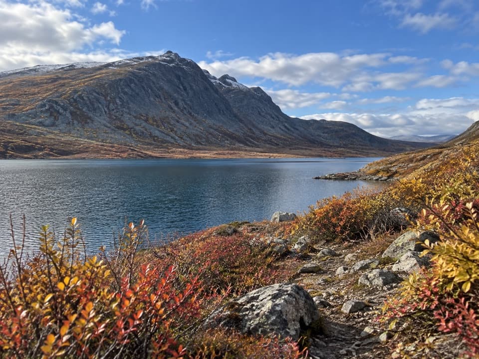
The highest, rockiest slopes around here are a summer buffet for grizzly bears.
Denali Highway Tour Guide
Parkwolf is a GPS audio tour guide for Denali Highway. As you drive, it chimes in with what’s ahead: hidden gems, upcoming stops, history, geology, and wildlife, right through your car’s speakers.
See the Denali Highway audio tourRecorded for this trailhead
Brushkana Creek: A Picnic by the Water“You're approaching Brushkana Creek Campground, a place to pause by the water even if you aren't staying overnight.”
Plays as you drive up to this trailhead in the Parkwolf Denali Highway Tour Guide.
More stories near here in the app
“Fantastic app with many points of information… It’s great to just turn on while you’re driving and it gives you an audio tour of the national Park. We love it!!!!”


Trail guide
Brushkana Creek Trail is a remote out-and-back from Brushkana Creek Campground. The mapped core is 3.7 miles round-trip to a creek-bottom approach near Monahan Creek; allow about three hours for a rough, faint track through open spruce and scrub. The corridor climbs briefly, then drops roughly 175 feet overall toward the creek bottom, so the return means regaining that ground. A longer walk to the old Alaska Road Commission cabin is described at about three miles one way, but the mapped line here stops short of that unverified continuation.
From the campground, the track rises through open spruce and scrub benchland before descending toward Brushkana Creek. The open stretch gives broad views across low, wooded country. Near the creek bottom the route account describes rockier ground, thicker brush, and a tread that becomes harder to follow. There is no current trail-marking or maintenance information; turn around at the end of the mapped track unless you have reliable local directions for going farther.
The old Cantwell–Valdez pack trail carried supplies from the Alaska Railroad at Cantwell toward the Valdez Creek mining district. The Alaska Road Commission built shelter cabins along it in the late 1920s, including the Brushkana cabin. A wooden bridge was built across Brushkana Creek in the 1930s, then bypassed before it was used; parts of it were later reused in the cabin. The cabin lies beyond the mapped section, so don't count on reaching it on this route.
The campground is at Denali Highway Milepost 104.5. Gravel parking areas in its loops fit several vehicles, and the creekside day-use area has parking for two cars. Potable hand-pump water and vault toilets are at the campground, not along the trail; food service is not listed. The access road is normally used in the snow-free season, generally May through September, and physically closes to vehicles in winter. There is no cell service at the campground. A route-specific dog rule was not found, so check before bringing a pet.
Wildlife
 56 sightingsMooseMost seen around 7 PMSighting map
 37 sightingsCaribouMost seen around 8 PMSighting map
 26 sightingsBald EagleMost seen around 11 AMSighting map
 33 sightingsTrumpeter SwanMost seen around 7 PMSighting map
 25 sightingsBeaverMost seen around 9 PMSighting map
 17 sightingsPorcupineMost seen around 10 PMSighting map
Sighting maps show where each species has been reported across Denali Highway. Wildlife moves, so no sighting is guaranteed.
Keep exploring
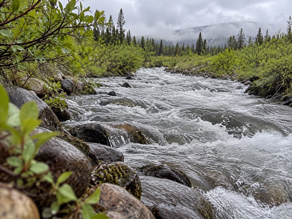 ChallengingSeattle Creek Trail15.4 mi · 9 hr · 7 mi awayA long creek-side walk that takes most of a day.
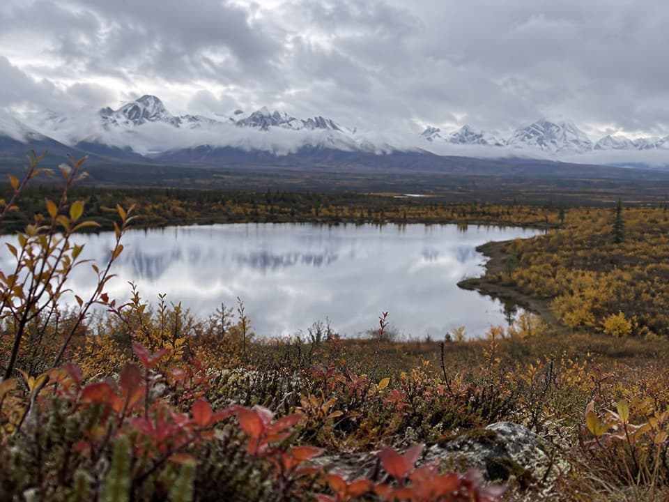 ModerateButte Lake Trail6.5 mi · 4 hr · 9.2 mi awayA rough out-and-back to Butte Lake on an ORV track.
Parkwolf’s Denali Highway ranking

The audio tour guide for the drive, plus offline maps, trails, and wildlife heatmaps for when the signal drops.