Parking
Gravel trailhead area on the south side of Denali Highway at MP 37, at Maclaren Summit. Parking capacity is not documented.
#6 of 18 trails in Denali Highway
Denali Highway, AK
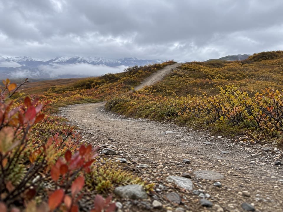
A long esker walk to the northwest shore of Osar Lake.
Overview
Map & elevation
Plan your hike

The highest, rockiest slopes around here are a summer buffet for grizzly bears.
Denali Highway Tour Guide
Parkwolf is a GPS audio tour guide for Denali Highway. As you drive, it chimes in with what’s ahead: hidden gems, upcoming stops, history, geology, and wildlife, right through your car’s speakers.
See the Denali Highway audio tourRecorded for this trailhead
Maclaren Summit: A Short Walk Above the Valley“You're approaching Maclaren Summit, where the road crests at about four thousand feet above the Maclaren River valley. In clear weather, look for Mount Hayes rising beyond the river and Maclaren Glacier in the distance.”
Plays as you drive up to this trailhead in the Parkwolf Denali Highway Tour Guide.
More stories near here in the app
“Fantastic app with many points of information… It’s great to just turn on while you’re driving and it gives you an audio tour of the national Park. We love it!!!!”


Trail guide
Osar Lake Trail is an out-and-back from the south side of Denali Highway at milepost 37, crossing open tundra and glacial eskers to the northwest shore of Osar Lake. The mapped corridor is about 7.1 miles each way, so plan on about 14.2 miles round trip. The BLM lists the trail at 7.2 miles, which fits the one-way line to the lake. Allow about eight hours, including breaks; that is a practical estimate, not an official time. This is a long walk for hikers who want a full day outside, not a quick lake stop.
The route heads south from Maclaren Summit over low, winding esker ridges, with broad views across the Maclaren River basin. BLM describes the trail as usually dry and recommends it for hikers, bicycles, and four-wheelers. The route profile drops about 800 feet between the highway and the lake, so the way back includes that climb. Expect an open walk rather than a shaded forest path. The mapped line ends at the lake's northwest shore; return on the same corridor.
An esker is a winding ridge of sand and gravel deposited by meltwater flowing in or beneath a glacier. These glacial ridges are the route's distinctive landform: the trail crosses them on its way to the lake, and the higher ground opens views over the surrounding basin.
The trail lies in the Tangle Lakes Archaeological District. The wider district contains more than 600 recorded archaeological sites and evidence of four cultural traditions. More than 600 sites include pit houses and hand-fashioned stone tools, and carbon dating points to four cultural traditions. People have used routes in this region since the Ice Age; Athabaskan hunters traveled them seeking caribou for villages along the Gulkana River. Stay on designated trails and do not collect or disturb artifacts.
The MP 37 route from Maclaren Summit reaches the northwest shore. Landmark Gap Trail South, which begins at MP 24.7, is a different hike; its southwest branch goes only to the vicinity of Osar Lake. Do not combine those lines into one route.
Wildlife
 56 sightingsMooseMost seen around 7 PMSighting map
 37 sightingsCaribouMost seen around 8 PMSighting map
 26 sightingsBald EagleMost seen around 11 AMSighting map
 33 sightingsTrumpeter SwanMost seen around 7 PMSighting map
 25 sightingsBeaverMost seen around 9 PMSighting map
 17 sightingsPorcupineMost seen around 10 PMSighting map
Sighting maps show where each species has been reported across Denali Highway. Wildlife moves, so no sighting is guaranteed.
Keep exploring
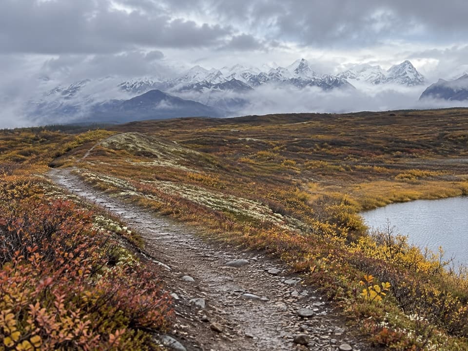 ChallengingMaclaren Summit Trail19 mi · 10 hr · 0.1 mi awayA full-day tundra hike to Sevenmile Lake with Alaska Range views.
 ChallengingOld Sevenmile Lake Trail17 mi · 11 hr · 3.1 mi awayA long, muddy hike to Sevenmile Lake's west side.
 ChallengingMaclaren River Trail16.3 mi · 9 hr · 4.9 mi awayA long ATV track into the Maclaren River valley
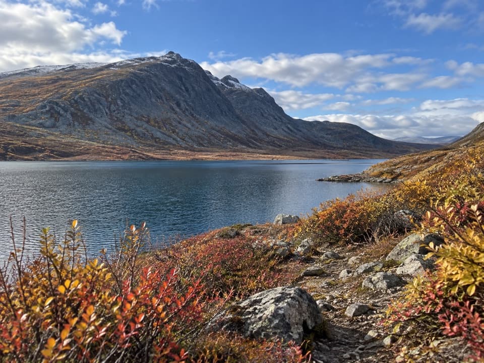 ChallengingGlacier Gap Lake to Sevenmile Lake Trail17 mi · 9 hr · 5.8 mi awayA cold creek crossing opens into two high tundra lakes.
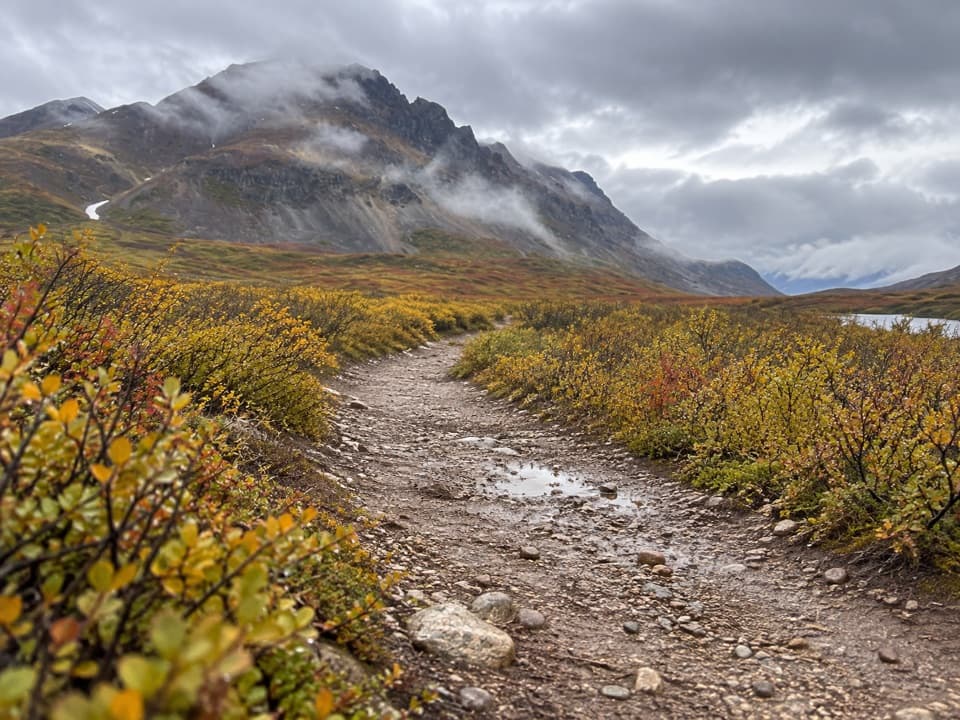 EasyLandmark Gap Trail North5.1 mi · 2.5 hr · 10.3 mi awayA gentle track to Landmark Gap Lake and its grayling pools.
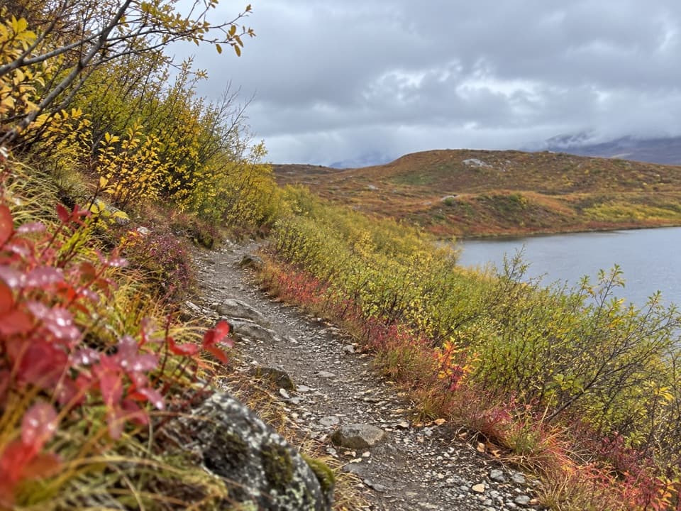 EasyTangle Lakes Foot Trail1 mi · 30 min · 13.4 mi awayClimb an esker for a quick, wide look over the Tangle Lakes.
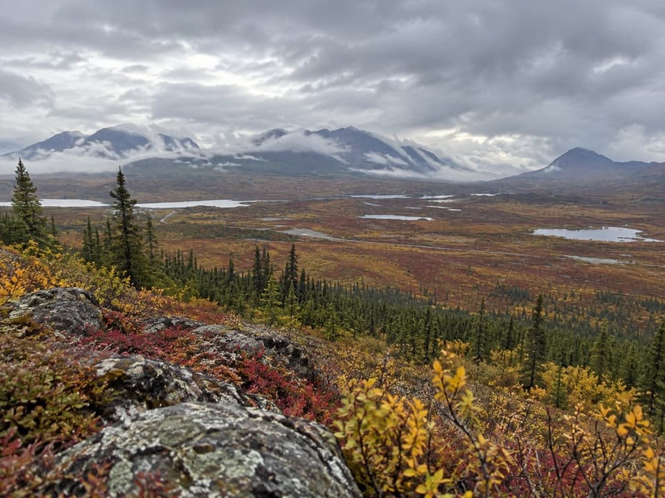 ChallengingSwede Mountain Trail1.8 mi · 2 hr · 14.7 mi awayA steep climb to broad views over the Tangle Lakes.
 Sight · 0.2 mi awayMaclaren SummitA high tundra pass with sweeping Alaska Range and river-valley views.
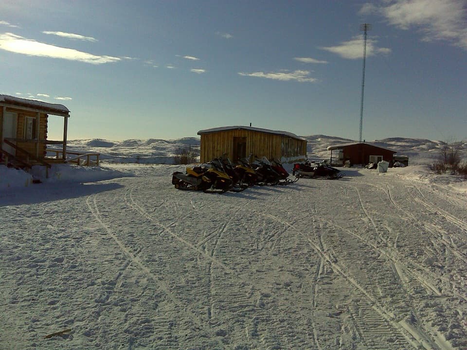 Lodging · 3.9 mi awayMaclaren River LodgeA real roadhouse stop where a night can save a long drive.
 Scenic pullout · 4.5 mi awayMaclaren Glacier ViewpointA quick river stop with a glacier about 16 miles away.
 Sight · 5.6 mi awayCrazy NotchA glacial-stream notch that catches huge winter drifts.
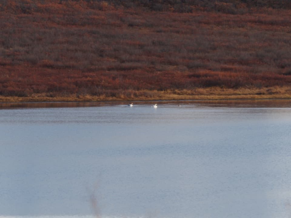 Scenic pullout · 8.6 mi awayWaterfowl Lakes ViewpointA roadside scan for swans, ducks and other lake birds.
Parkwolf’s Denali Highway ranking

The audio tour guide for the drive, plus offline maps, trails, and wildlife heatmaps for when the signal drops.