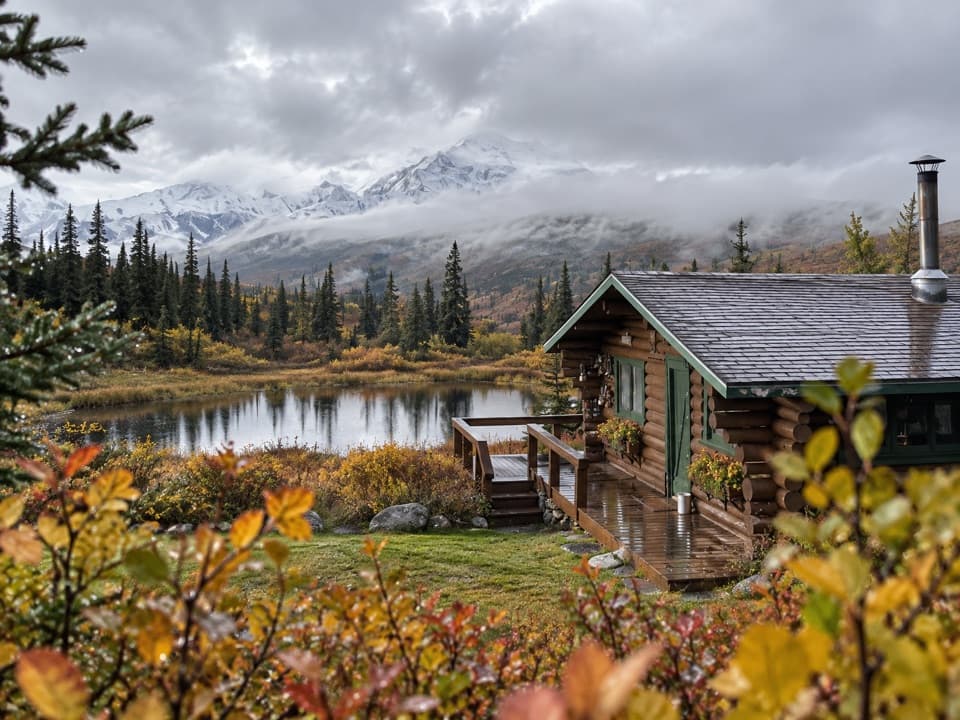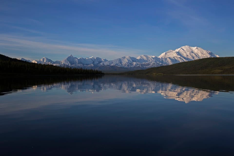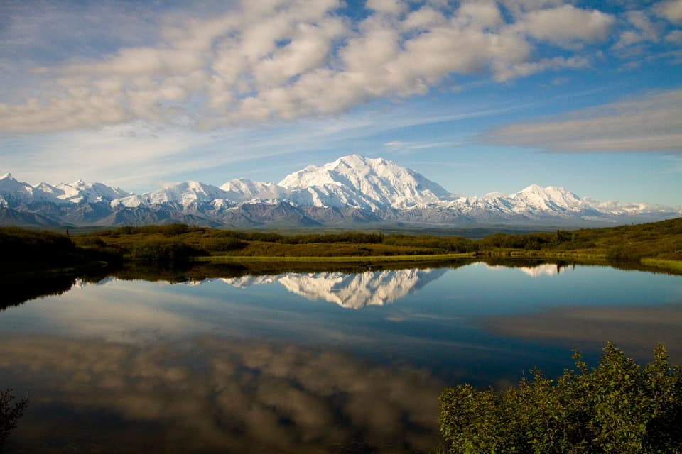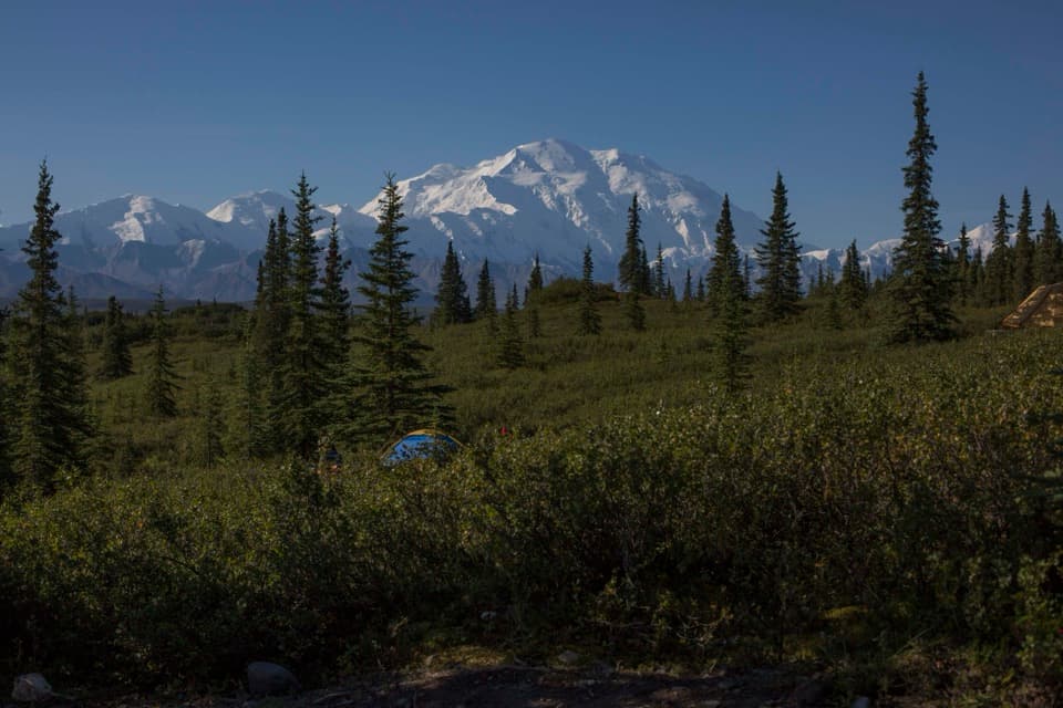
El Dorado Creek Access Route in Denali National Park

Denali National Park, AK

El Dorado Creek Access Route

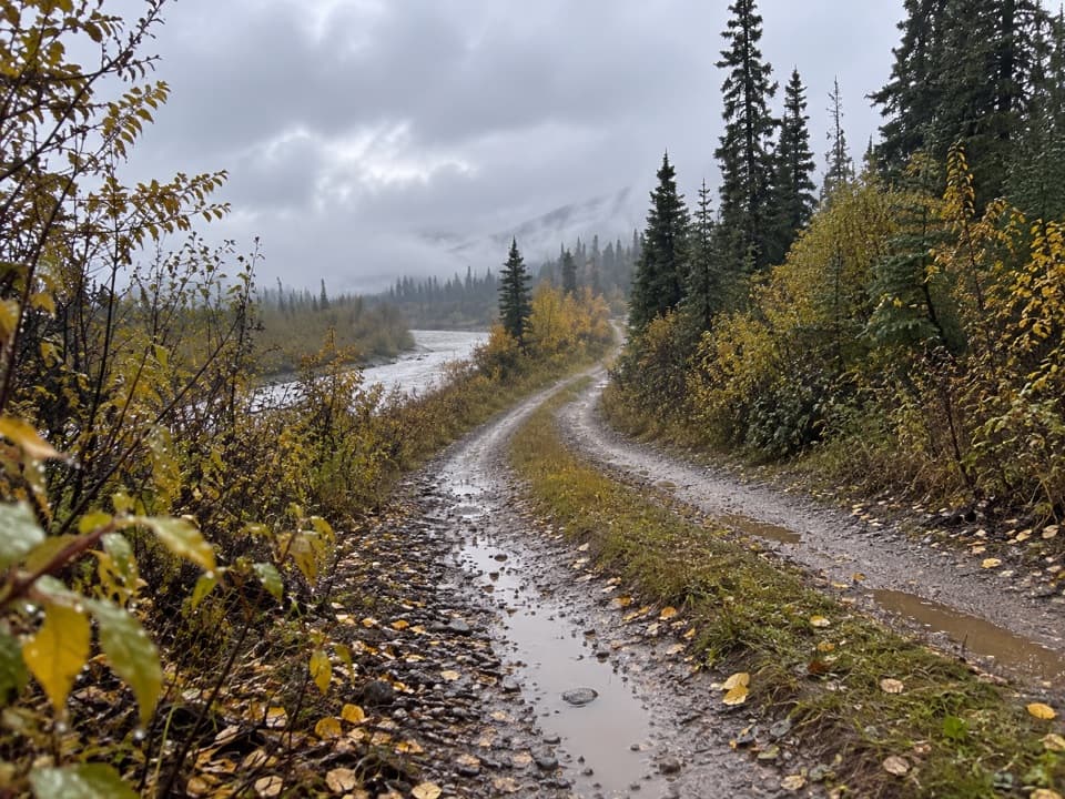
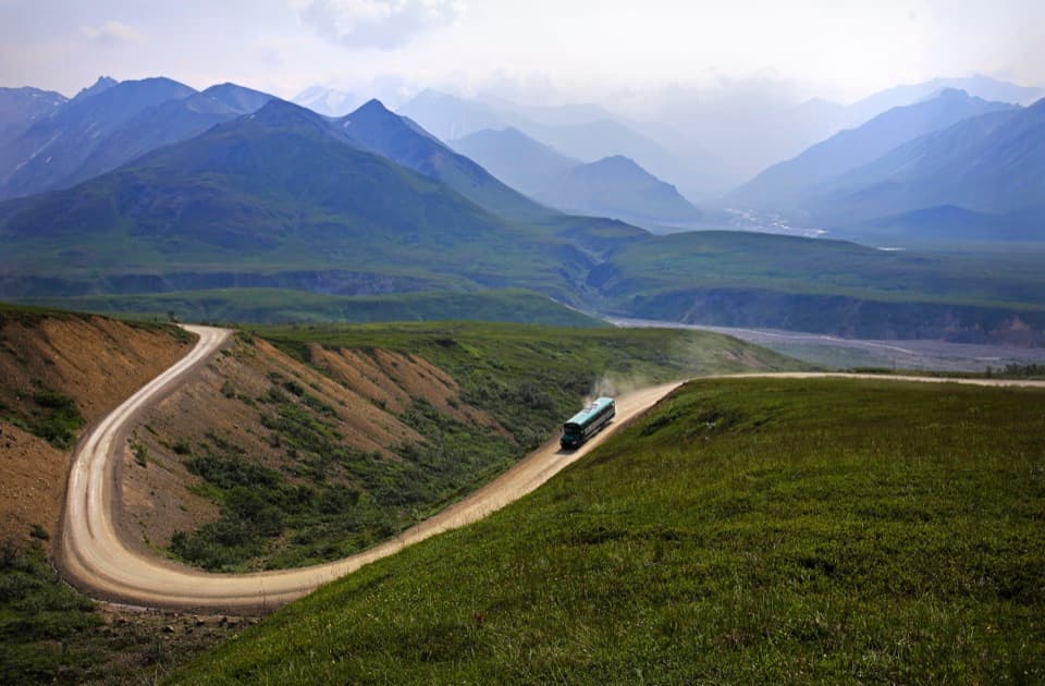
A rough mining road follows Eldorado Creek into Kantishna backcountry.

Length
8.5mi
Time
4.5hr
Elev. change
774ft
Difficulty
Moderate
  • No dogs
  • High point 2,418 ft

Hear the audio tour

Rebuilding Kantishna’s Creeks

Overview

About El Dorado Creek Access Route

Why go

  • A historic mining road through Eldorado Creek’s remote valley.
  • A direct approach to Kantishna’s ridge country without committing to a summit spur.

Heads up

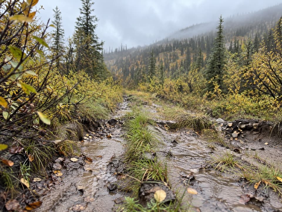
  • A remote, rough route with repeated creek crossings.
  • The lower Moose Creek ford can be difficult at high water.

Map & elevation

The route

Loading the Denali map
Full map
Elevation1,644–2,418 ft
TrailheadLower Moose Creek crossing near Eureka Creek63.52685, -150.96853
Keep this map with you offline in the Parkwolf app

Plan your hike

Before you go

Parking

No public lot is identified. NPS describes access at the lower Moose Creek crossing near Eureka Creek, just past Kantishna Roadhouse. Do not cross lodge or other private property without permission; confirm the legal approach before arriving.

Safety

The lower Moose Creek ford may be difficult at high water. Repeated creek crossings can be hazardous when water is high. Do not drink from Eldorado Creek: mining-related heavy metals may not be removed by filtering, boiling or chemical treatment. Fog can make the optional ridge tops difficult to navigate.

1 active Denali alert

  • InfoDenali Park Road open to Mile 3The Denali Park Road is open to vehicles only as far as Mile 3 (Park Headquarters); snow beyond that point prevents vehicle travel, though pedestrians may continue.Official details
Denali alerts
A park ranger sits on a dash-mounted phone, talking, as Parkwolf’s Tour Guide plays “Army Cutworm Moths: A Grizzly Bear Buffet” on Grand Loop Road below Dunraven Pass in Yellowstone
Parkwolf Tour GuideThe highest, rockiest slopes around here are a summer buffet for grizzly bears.

Denali Tour Guide

Your drive to El Dorado Creek Access Route, narrated.

Parkwolf is a GPS audio tour guide for Denali National Park. As you drive, it chimes in with what’s ahead: hidden gems, upcoming stops, history, geology, and wildlife, right through your car’s speakers.

See the Denali audio tour

Recorded for this area

Rebuilding Kantishna’s Creeks
0:00 / 0:35
“In Kantishna, restoring a creek can mean rebuilding the ground around it. Mechanized gold mining moved huge amounts of gravel, leaving piles of waste rock and damaged stream channels.”

Plays on the road 0.5 mi from the trailhead in the Parkwolf Denali Tour Guide.

More stories near here in the app

  • Fannie Quigley Cabin
  • Moose Creek Trail
  • The Pole That Proved a Climb
  • Wonder Lake and Blueberry Hill
  • 78 audio storiesacross Denali’s roads, triggered by GPS as you drive
  • Wildlife heatmapsfor Grizzly Bear, Wolf, Canada Lynx, and 13 more
  • Works offlinemaps, 21 trails, 53 places, and audio download before you lose signal
  • CarPlay readysimple controls built for the drive
★★★★★
“Fantastic app with many points of information… It’s great to just turn on while you’re driving and it gives you an audio tour of the national Park. We love it!!!!”
JMJamesApp Store review
Download Parkwolf on the App StoreGet Parkwolf on Google Play

4.7 from 8,600+ ratings

Trail guide

Hiking El Dorado Creek Access Route

What this route isThis is an 8.

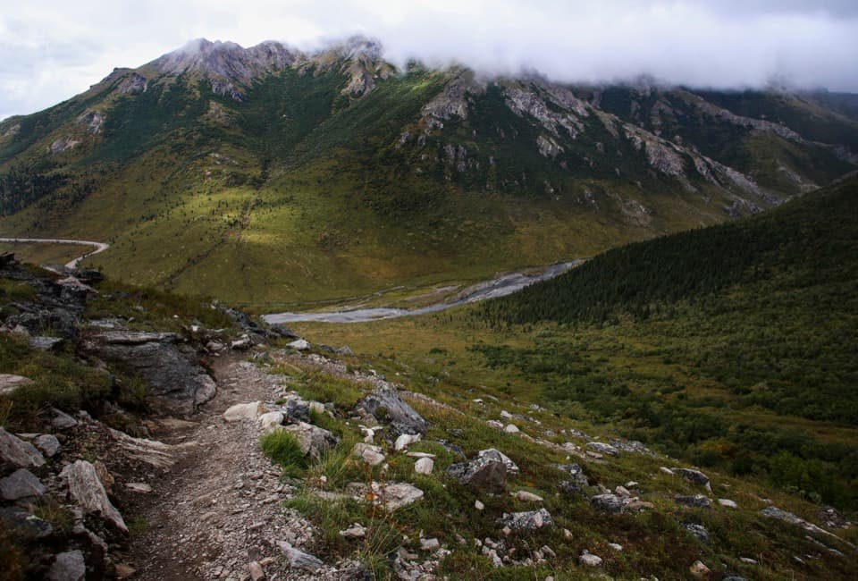
This is an 8.5-mile out-and-back on the historic Eldorado Creek mining road in Denali’s Kantishna Hills. Follow the mapped access road out and return the same way; it does not climb Brooker or Busia Mountain. Choose it for a long, remote walk through old mining country, not for an easy, maintained trail. Allow about four to five hours for the road itself.

Getting onto the roadThe route starts at the lower Moose Creek crossing near Eureka Creek, just past Kantishna…

The route starts at the lower Moose Creek crossing near Eureka Creek, just past Kantishna Roadhouse. You have to cross Moose Creek to reach the west-side road, and the single-channel ford can be difficult at high water. NPS warns hikers to stay off lodge and other private property unless they have permission. No public parking lot is identified at the crossing, so confirm the legal approach before setting out.

A road through mining countryThe old road follows Eldorado Creek up its valley toward historic claims and Slate Creek.

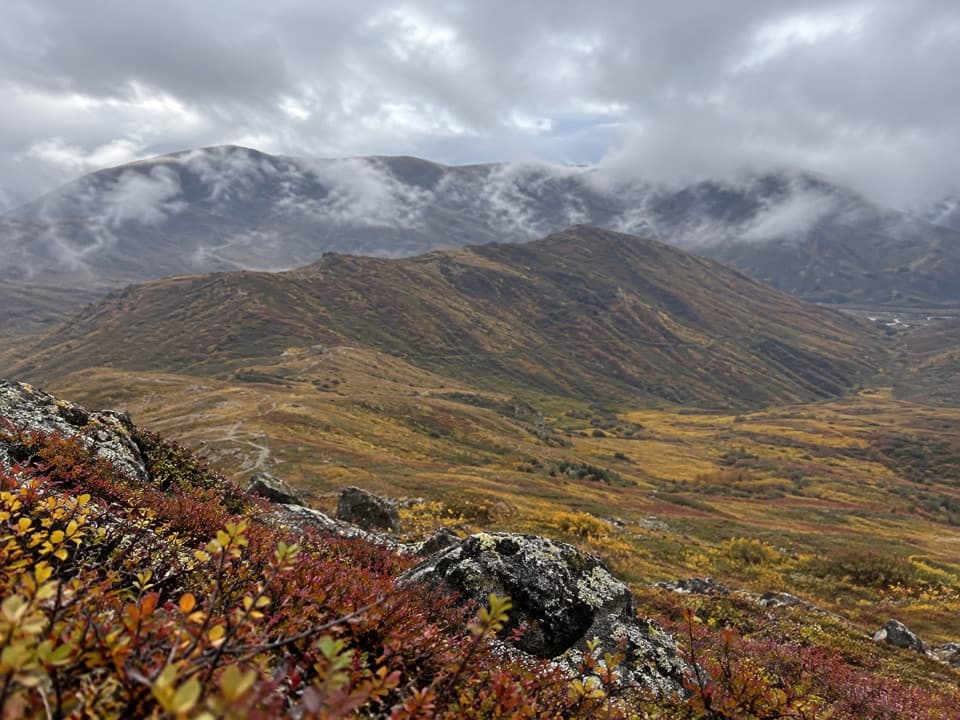
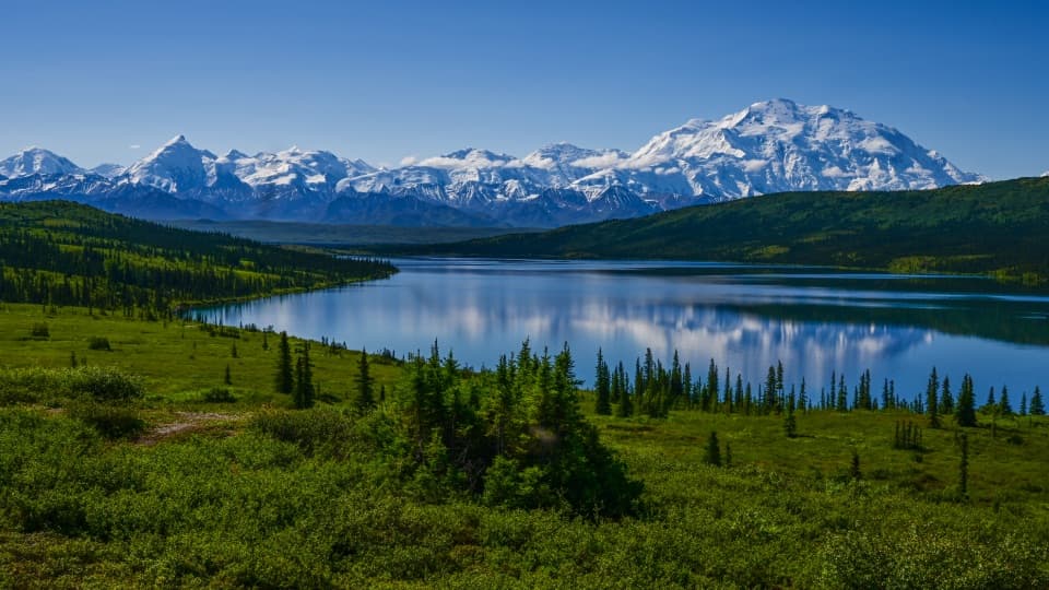
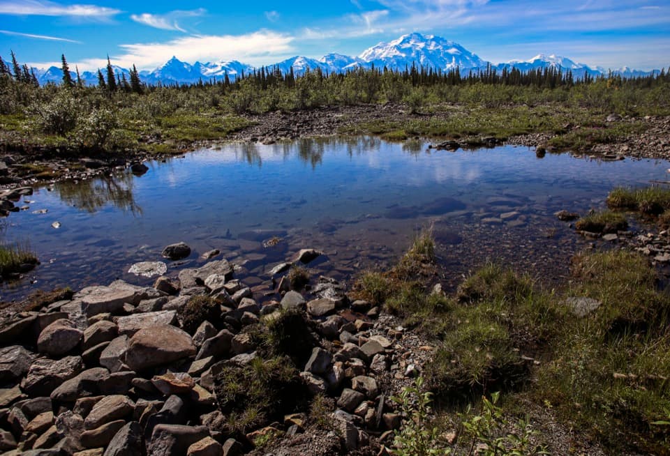
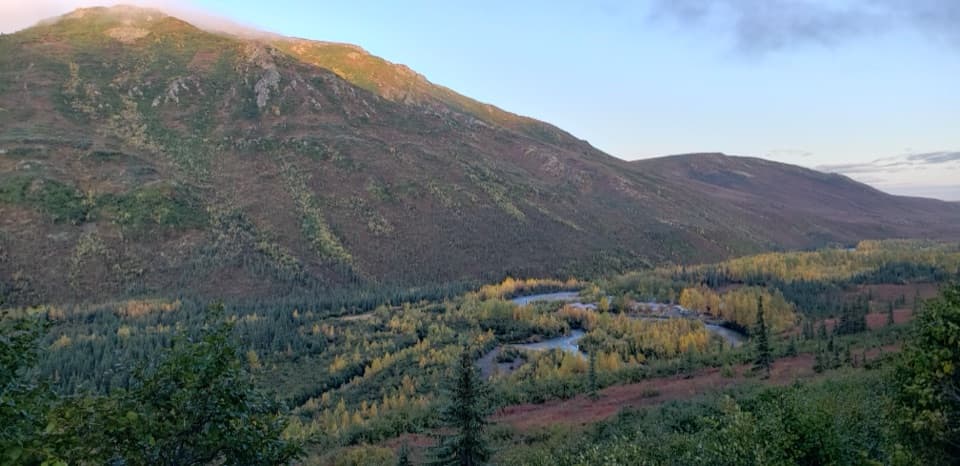
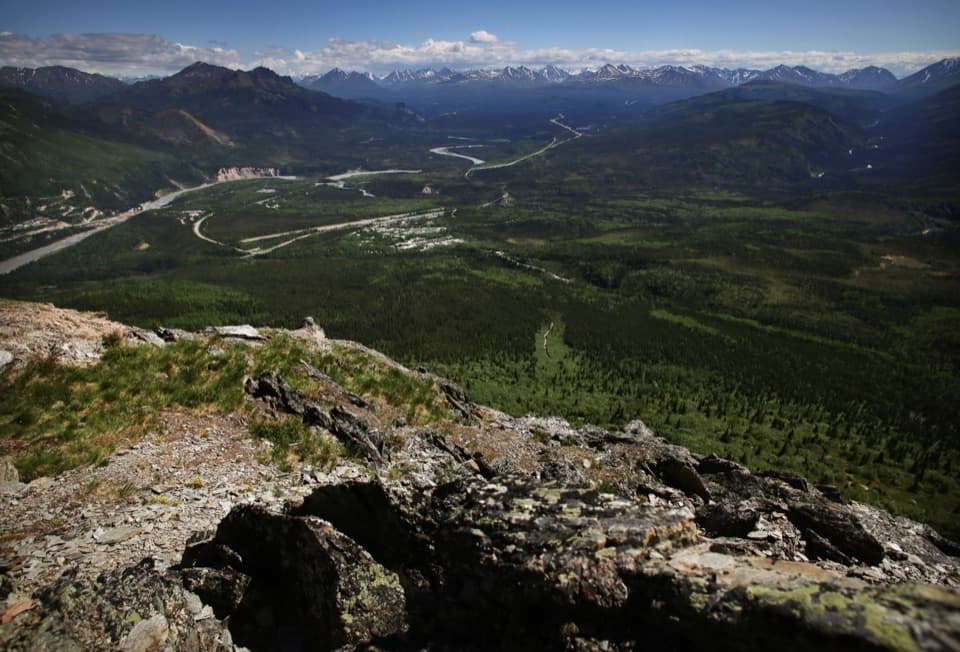
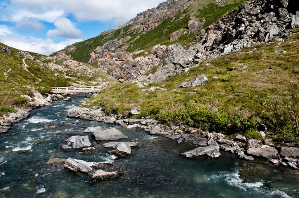
The old road follows Eldorado Creek up its valley toward historic claims and Slate Creek. It crosses the creek repeatedly; the full access road has more than twenty crossings. The broad creek-bottom route is the walk described here. Several spur ridges lead toward Brooker and Busia Mountain, but those climbs are separate, brushy and boggy, and are not part of the mapped line. From open ridge tops, Denali and the Alaska Range can come into view; fog can make those broad ridges hard to navigate.

Water and footingThis is a primitive backcountry road with little regular maintenance.

This is a primitive backcountry road with little regular maintenance. Expect rough ground and repeated water crossings. Do not drink from Eldorado Creek: mining-related heavy metals may make the water unsafe, and filtering, boiling or chemical treatment will not remove them. Pets are not allowed on this backcountry trail.

Wildlife

Wildlife in Denali

All Denali wildlife maps

Sighting maps show where each species has been reported across Denali. Wildlife moves, so no sighting is guaranteed.

Parkwolf’s Denali ranking

Top-rated trails in Denali

All 21 trails
  1. 1Savage Alpine TrailChallenging · 4 mi
  2. 2Mount Healy Overlook TrailChallenging · 6.4 mi
  3. 3Horseshoe Lake TrailModerate · 2 mi
  4. 4Savage River Loop TrailModerate · 2 mi
  5. 5Thorofare Ridge TrailChallenging · 1.6 mi
  6. 6Triple Lakes TrailChallenging · 9.5 mi

Take Parkwolf to Denali.

The audio tour guide for the drive, plus offline maps, trails, and wildlife heatmaps for when the signal drops.

4.7 from 8,600+ ratings

Download Parkwolf on the App StoreGet Parkwolf on Google Play