Parking
The access is on Park Road at mile 88, just south of Moose Creek Bridge. No separate public parking lot is identified; confirm authorized transportation to the remote Kantishna area before planning.
Denali National Park, AK
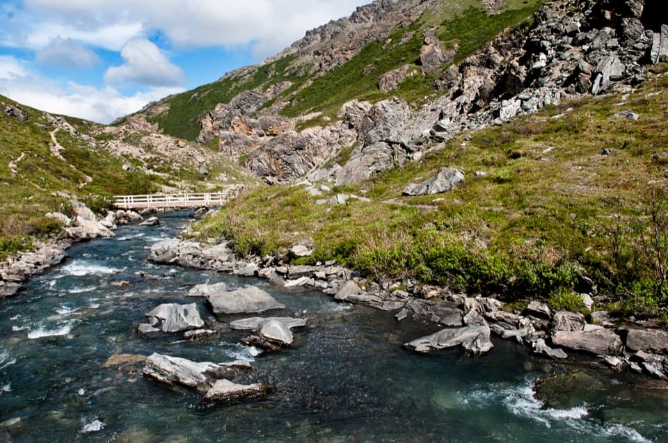
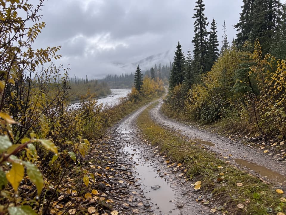
An old mining road crosses Moose Creek again and again.
Overview
Map & elevation
Plan your hike

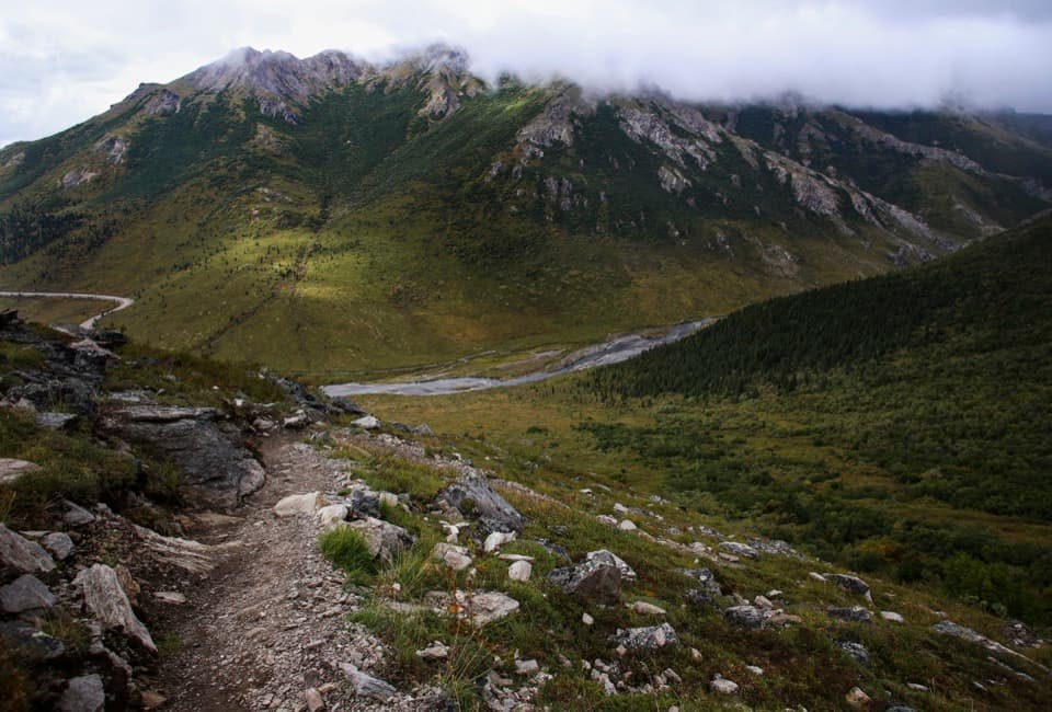
The highest, rockiest slopes around here are a summer buffet for grizzly bears.
Denali Tour Guide
Parkwolf is a GPS audio tour guide for Denali National Park. As you drive, it chimes in with what’s ahead: hidden gems, upcoming stops, history, geology, and wildlife, right through your car’s speakers.
See the Denali audio tourRecorded for this trailhead
Moose Creek Trail“You're approaching Moose Creek Trail, an old mining road through the Kantishna creek valley. Save this one for a planned backcountry day: the full return hike is about sixteen miles and takes around ten hours.”
Plays as you drive up to this trailhead in the Parkwolf Denali Tour Guide.
More stories near here in the app
“Fantastic app with many points of information… It’s great to just turn on while you’re driving and it gives you an audio tour of the national Park. We love it!!!!”


Trail guide
Moose Creek Trail is an out-and-back along a primitive old mining road from Park Road mile 88, just south of Moose Creek Bridge, east along upper Moose Creek toward Spruce Creek. It is about 8 miles each way, 16 miles round trip; allow around ten hours. This is a rough, unmaintained track with a long, remote return. The distance and repeated creek crossings make it a hard full-day walk.
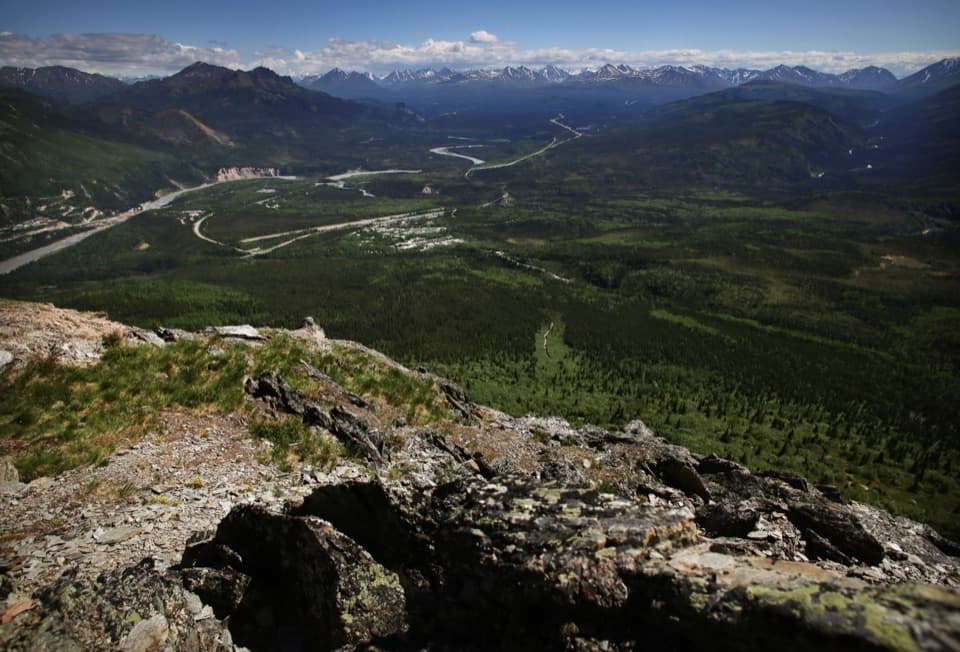
The route heads east up Moose Creek, mainly along its north side, and returns by the same line. The official description names Spruce Creek as the terminus; the available mapped track ends nearby, so treat its final point as approximate. It stays in the creek valley rather than climbing to a summit. The road crosses Moose Creek at least 15 times, where it runs in a single channel. Expect a rough ground track rather than a maintained hiking path.
Fast water can make the crossings difficult on foot. The cross-country alternative described for this area follows the creek bottom or nearby ridges through thick brush; it is slow travel, not a simple bypass. If the crossings are unsafe for you, turn around rather than counting on an easy detour.
This is part of a historic mining district dating to the early 1900s. Miners used old roads and creek beds to reach their claims, and cabins, equipment, and refuse remain across both public and private land. Stay on established routes, respect private lodges and claims, and do not enter residences or disturb historic remains. A no-camping zone covers part of the area; check current backcountry rules before any overnight trip.
Moose Creek below Spruce Creek may be contaminated with heavy metals; boiling, filtering, and chemical treatments do not make it safe to drink, so carry your water. Mosquitoes are usually dense in June and July. Pets are not allowed on this backcountry route. Start from the Park Road mile 88 access just south of the bridge; this is remote Kantishna access, so confirm how you can reach it before planning.
Wildlife
 716 sightingsGrizzly BearMost seen around 8 PMSighting map
 74 sightingsWolfMost seen around 8 PMSighting map
 49 sightingsCanada LynxMost seen around 9 PMSighting map
 797 sightingsMooseMost seen around 7 AMSighting map
 918 sightingsCaribouMost seen around 7 AMSighting map
 406 sightingsDall's SheepMost seen around 7 PMSighting map
Sighting maps show where each species has been reported across Denali. Wildlife moves, so no sighting is guaranteed.
Keep exploring
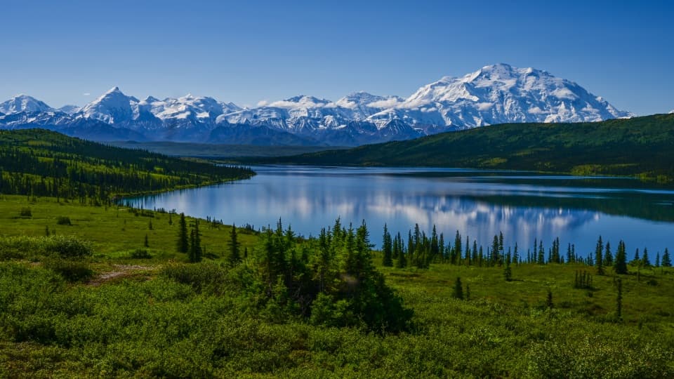 EasyBlueberry Hill Trail0.9 mi · 1 hr · 1.8 mi awayA short loop puts Wonder Lake and Denali in the same frame.
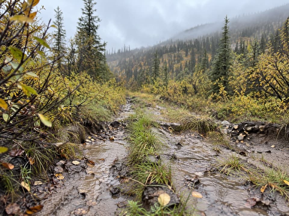 ModerateEl Dorado Creek Access Route8.5 mi · 4.5 hr · 2.1 mi awayA rough mining road follows Eldorado Creek into Kantishna backcountry.
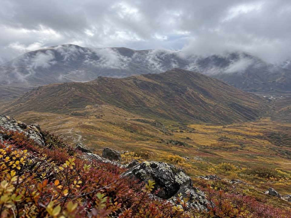 ModerateSkyline Drive4 mi · 3 hr · 2.5 mi awayA gentler road climb with big views above Kantishna.
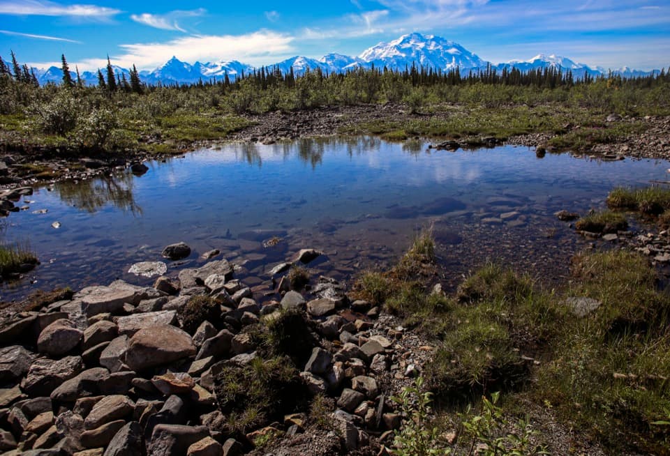 EasyMcKinley River Bar Trail4.8 mi · 3 hr · 4.3 mi awayPonds and spruce give way to an open gravel bar beneath Denali.
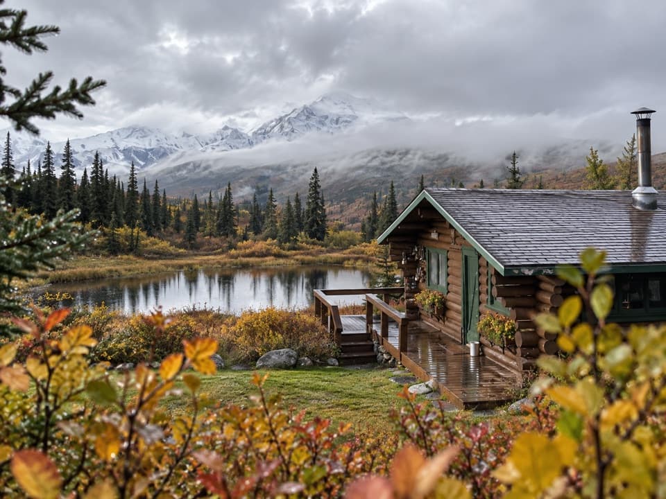 Lodging · 0.4 mi awayCamp DenaliA remote, all-inclusive lodge with guided hikes and mountain views.
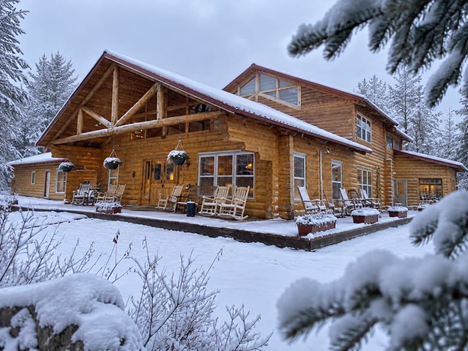 Lodging · 1.8 mi awayKantishna RoadhouseA creekside stay with Kantishna’s gold-rush history at the door.
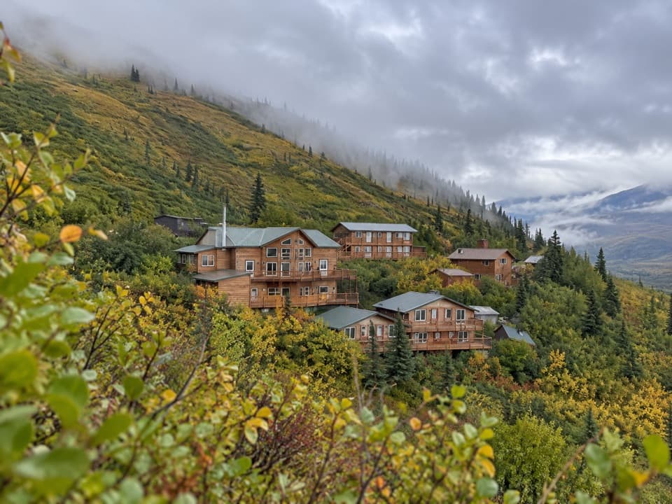 Lodging · 2.5 mi awaySkyline LodgeAn overnight base for exploring Kantishna’s remote end.
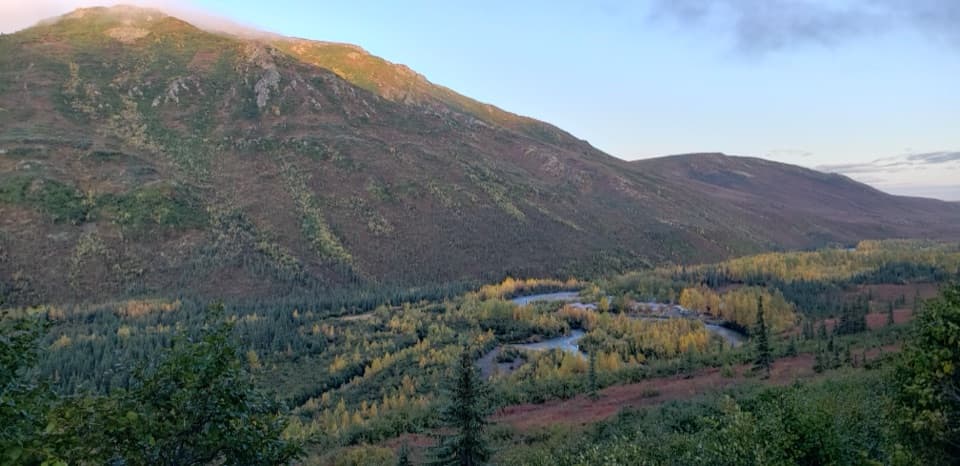 Lodging · 2.8 mi awayDenali Backcountry LodgeA remote cabin stay for tundra hikes and Kantishna gold-rush history.
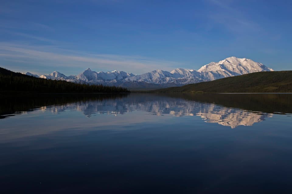 Sight · 2.8 mi awayWonder LakeDenali across the water, when the clouds finally lift.
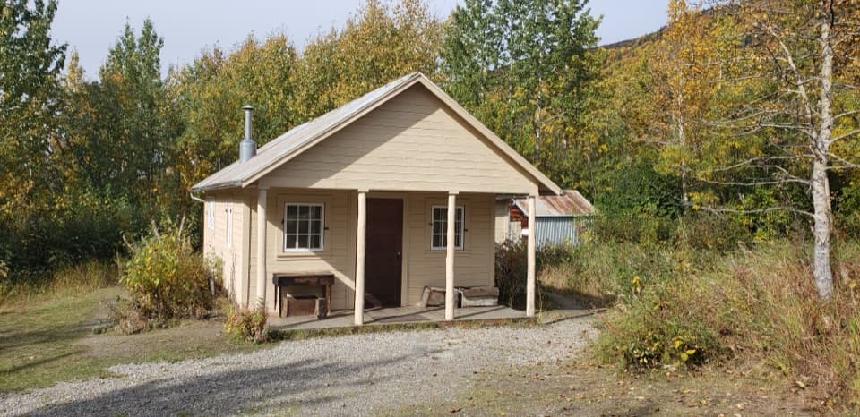 Sight · 3.1 mi awayFannie Quigley CabinA cabin tied to Kantishna’s gold mining years.
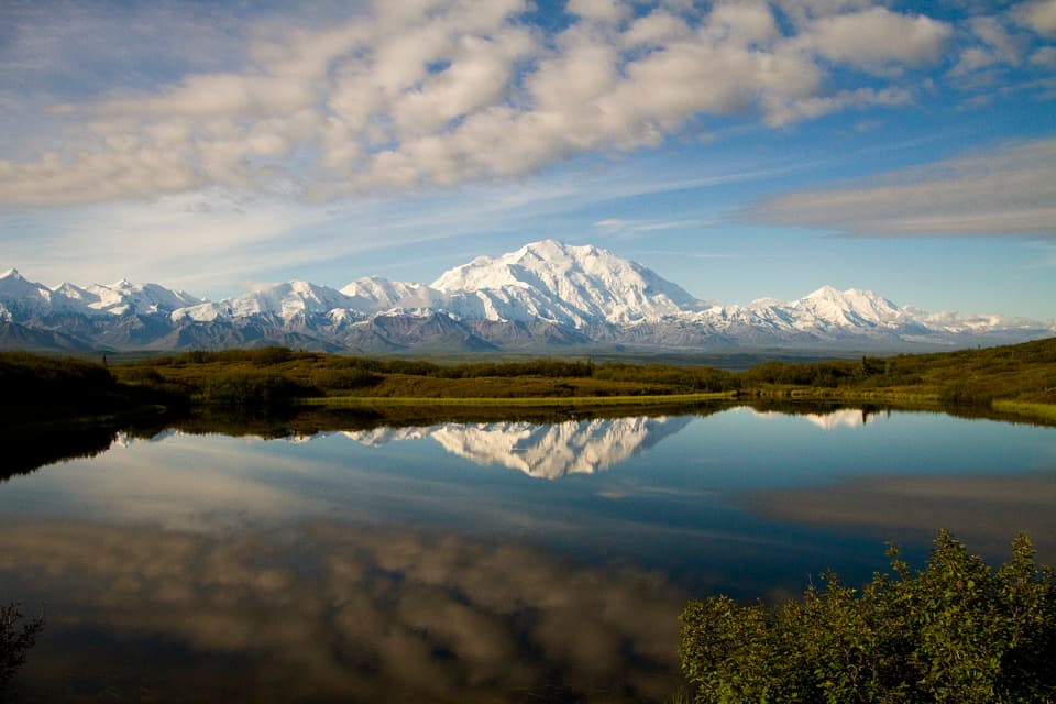 Sight · 3.2 mi awayReflection PondWhen it goes still, this pond doubles two Alaska Range peaks.
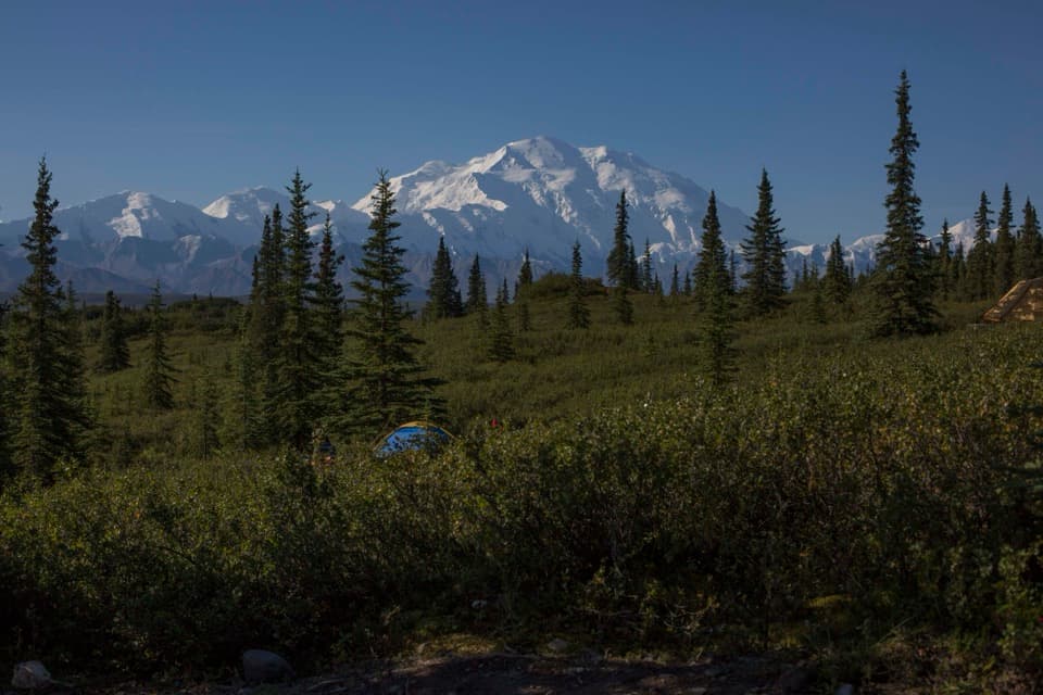 Campground · 4.4 mi awayWonder Lake CampgroundRemote tent camping with a clear-day view of Denali.
Parkwolf’s Denali ranking

The audio tour guide for the drive, plus offline maps, trails, and wildlife heatmaps for when the signal drops.