Parking
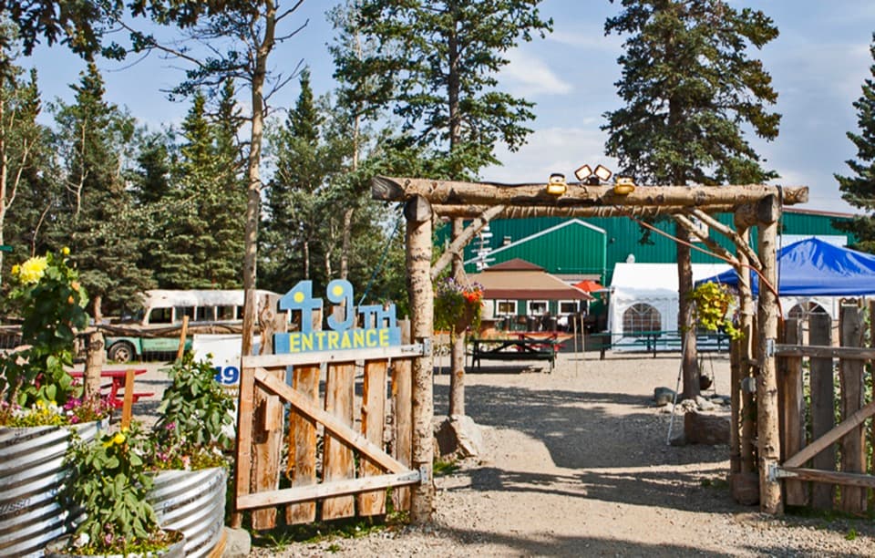
Begin at the end of Stampede Road near 8 Mile Lake. Use only an unposted public pullout, never a driveway; the road is rough beyond about Mile 5 and needs high clearance with four-wheel drive. No developed parking facility was verified.
Denali National Park, AK
A rough, 38-mile route to Sushana with two serious river crossings.
Overview
Map & elevation
Plan your hike

The highest, rockiest slopes around here are a summer buffet for grizzly bears.
Denali Tour Guide
Parkwolf is a GPS audio tour guide for Denali National Park. As you drive, it chimes in with what’s ahead: hidden gems, upcoming stops, history, geology, and wildlife, right through your car’s speakers.
See the Denali audio tour“Fantastic app with many points of information… It’s great to just turn on while you’re driving and it gives you an audio tour of the national Park. We love it!!!!”


Trail guide
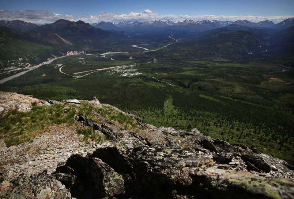
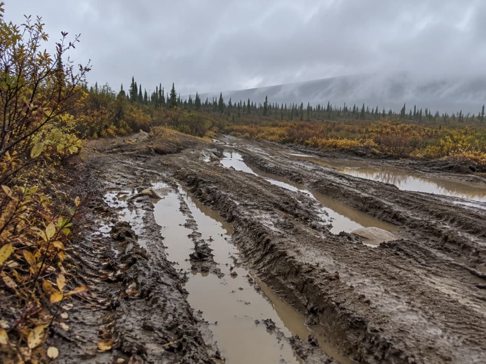
Stampede Trail is a rough 38.4-mile round trip from the end of Stampede Road to the Sushana River and back. The mapped corridor runs about 19.2 miles one way through Denali’s northern lowlands of tundra, brush and bog. This is a multi-day wilderness trip, not a maintained day hike; allow about three days and come prepared to navigate remote river country.
The route begins near Mile 8 on Stampede Road, around 8 Mile Lake. The road is paved to Mile 4; most cars reach about Mile 5, and high clearance with four-wheel drive is needed farther on. Use only a legal roadside pullout. The road and trail pass private cabins and hunting camps, so don’t cut across driveways or posted land. No developed parking or services were identified. Access routes see heavy off-road traffic in late August and September during hunting season; wear bright colors then.
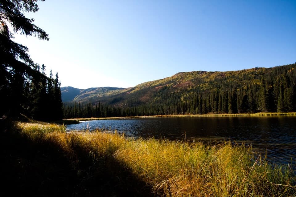
You must cross the Savage and Teklanika Rivers, and there are no bridges at the river or creek crossings. The National Park Service says the Teklanika cannot be crossed dependably on foot and recommends a packraft in midsummer. Just west of it, the route skirts beaver ponds. If you don’t have the equipment and experience to make the crossings safely, don’t rely on finding an easy ford.
This is an unmaintained corridor. Its early tread is a deeply rutted, muddy vehicle track that holds water; farther west, the route runs through tussock tundra, brush and bog. Expect slow footing and loose wayfinding. Turn around at the Sushana River approach: west of the river, brush and swamp make the old trail nearly impossible to follow toward Toklat.
The route became famous as the way to Bus 142, but the bus was removed in 2020. Choose this for the demanding historic wilderness trip to Sushana, not to visit the bus. Pets are not allowed on Denali trails or off-trail in the wilderness; service animals are a separate exception.
Wildlife
 716 sightingsGrizzly BearMost seen around 8 PMSighting map
 74 sightingsWolfMost seen around 8 PMSighting map
 49 sightingsCanada LynxMost seen around 9 PMSighting map
 797 sightingsMooseMost seen around 7 AMSighting map
 918 sightingsCaribouMost seen around 7 AMSighting map
 406 sightingsDall's SheepMost seen around 7 PMSighting map
Sighting maps show where each species has been reported across Denali. Wildlife moves, so no sighting is guaranteed.
Keep exploring
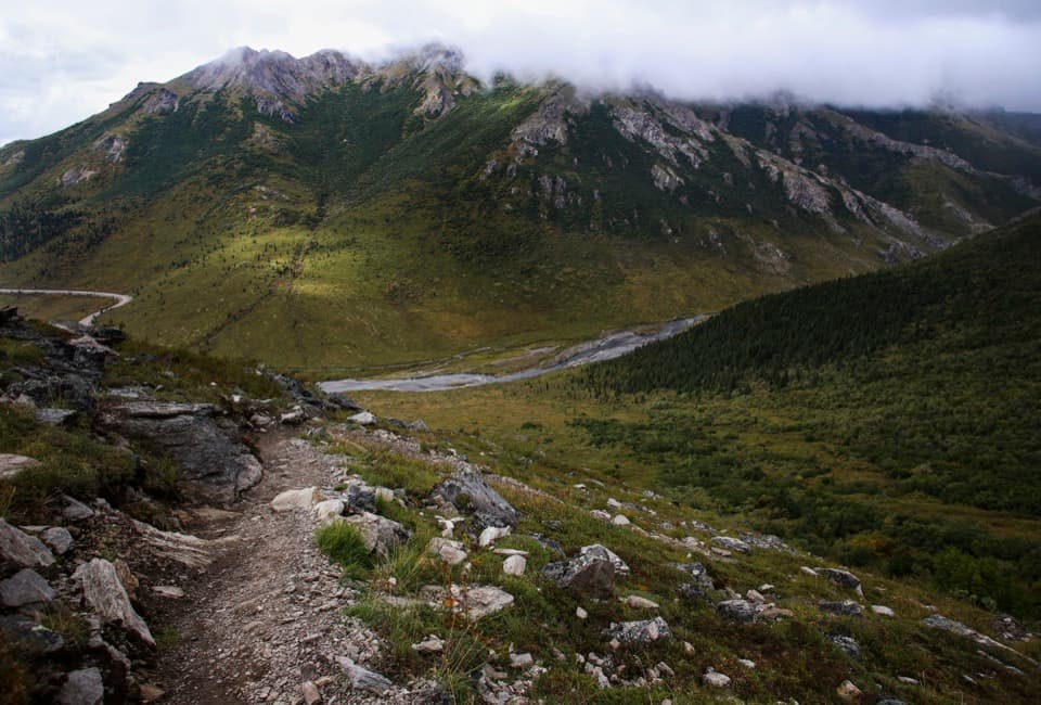 ChallengingSavage Alpine Trail4 mi · 3.5 hr · 10 mi awayA steep ridge traverse with Denali views on clear days.
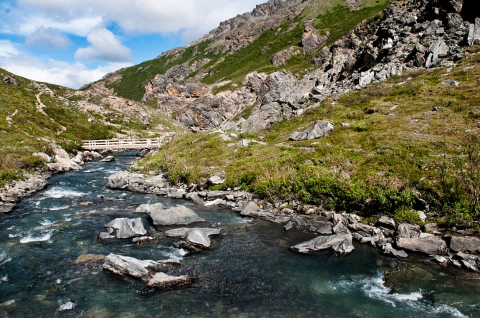 ModerateSavage River Loop Trail2 mi · 1.3 hr · 10 mi awayA short river-canyon loop with a footbridge crossing.
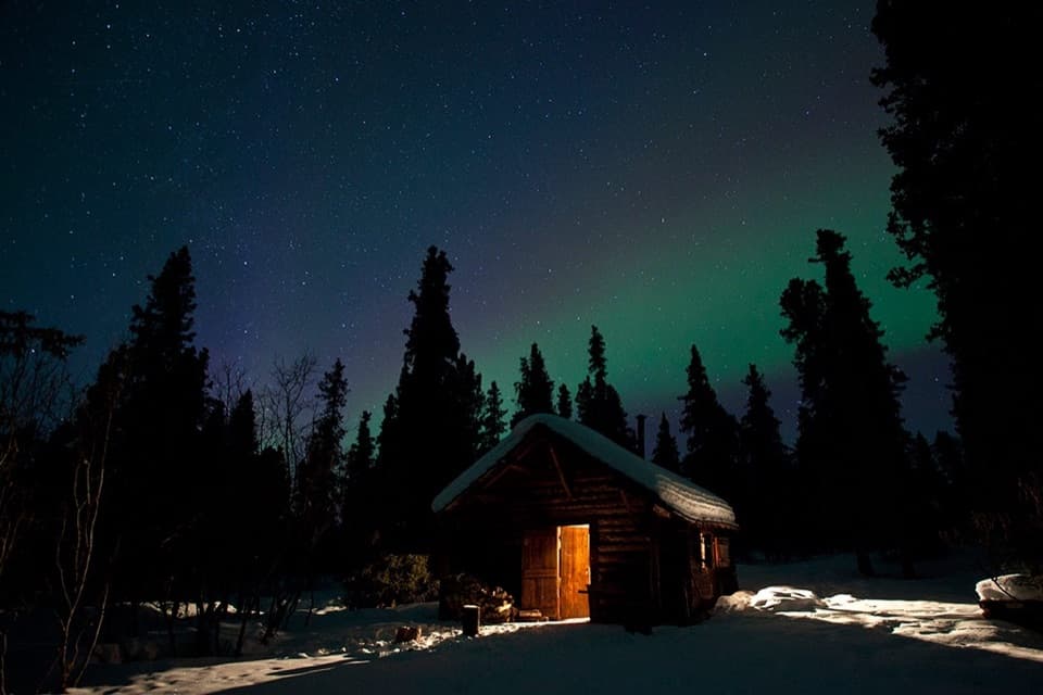 EasySavage Cabin Interpretive Loop Trail0.4 mi · 30 min · 11.4 mi awayAn easy gravel loop to a 1920s patrol cabin.
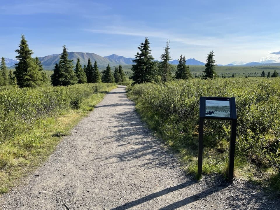 EasyMountain Vista Trail0.6 mi · 30 min · 11.7 mi awayA gentle loop for a clear-day look toward Denali.
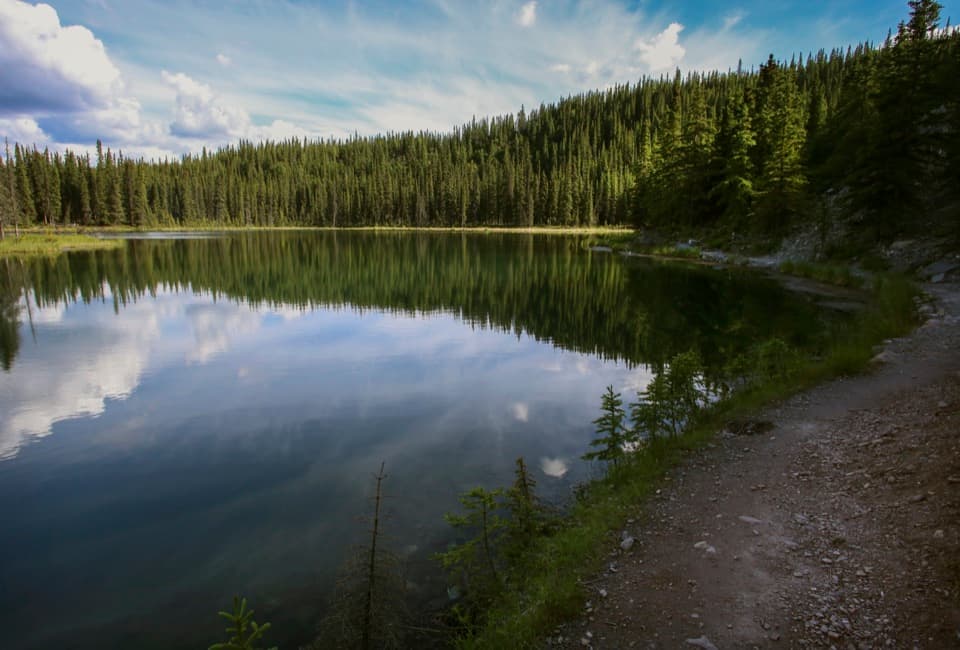 ModerateHorseshoe Lake Trail2 mi · 2 hr · 14.8 mi awayA lake loop with beaver dams and a steep climb back up.
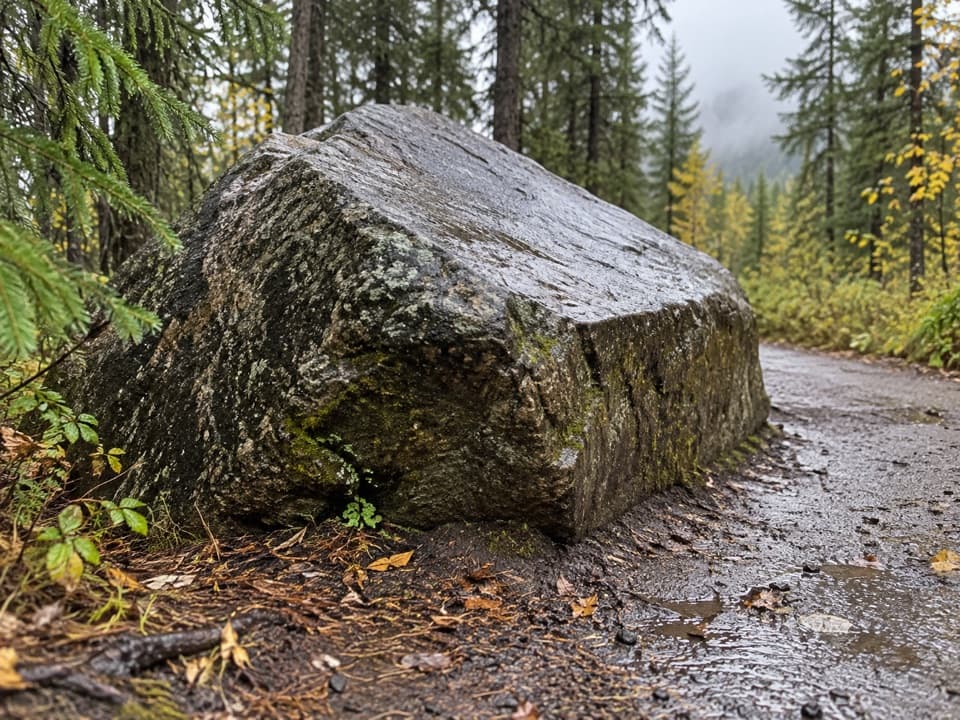 ModerateRoadside Hiking Trail1.8 mi · 1 hr · 15 mi awayA steady forest climb to a working sled-dog kennel.
Parkwolf’s Denali ranking

The audio tour guide for the drive, plus offline maps, trails, and wildlife heatmaps for when the signal drops.