Roadside Hiking Trail in Denali National Park

Denali National Park, AK

Roadside Hiking Trail

A steady forest climb to a working sled-dog kennel.

Length
1.8mi
Time
1hr
Elev. change
331ft
Difficulty
Moderate
  • Dogs allowed
  • High point 2,110 ft

Hear the audio tour

Denali Visitor Center Campus

Overview

About Roadside Hiking Trail

Why go

  • Connects the visitor-center campus with the sled dog kennels by a marked forest path.

Heads up

  • It is one way; retracing the route makes the walk about 3.6 miles.

Map & elevation

The route

Loading the Denali map
Full map
Elevation1,778–2,110 ft
TrailheadDenali Visitor Center (Taiga Trail access)63.73046, -148.91952
Keep this map with you offline in the Parkwolf app

Plan your hike

Before you go

Parking

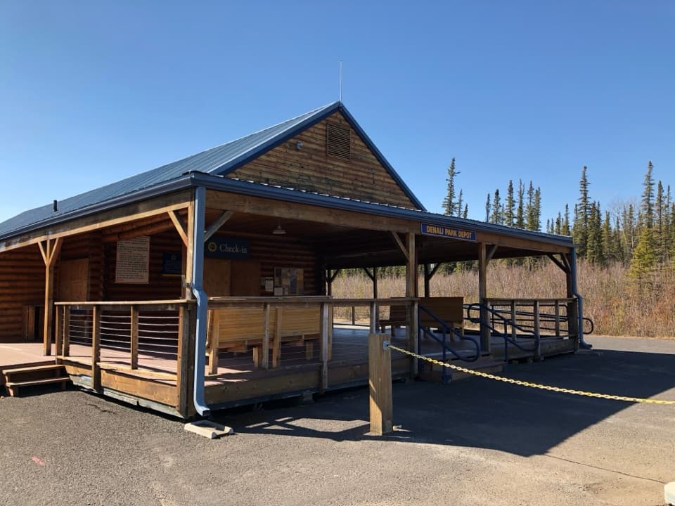
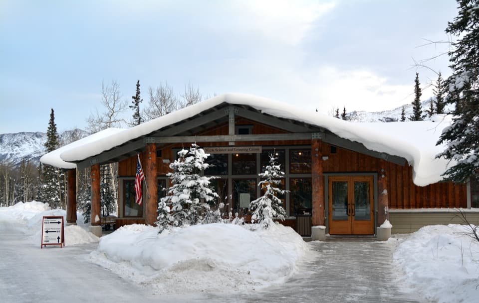
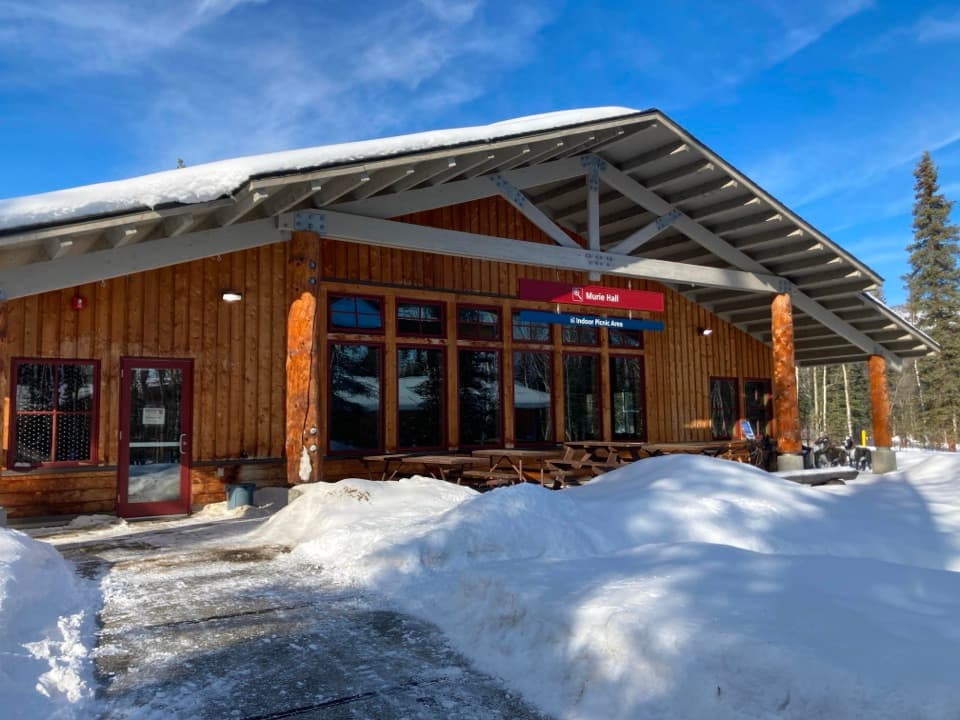
For the east start, use the Denali Visitor Center campus and follow Taiga Trail to Roadside Trail; the Murie Science and Learning Center is another east access. The west end is at Park Headquarters and the sled dog kennels. These are separate endpoints, so plan a ride or retrace the route.

Safety

The east-to-west route climbs on grades up to 15%. Published time estimates range from one to two hours one way. Pet dogs are allowed on this trail on a leash no longer than six feet, but pets cannot ride Denali buses.

1 active Denali alert

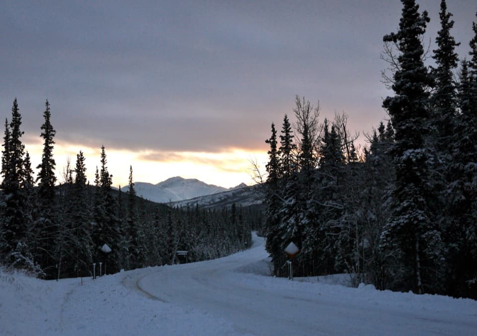
  • InfoDenali Park Road open to Mile 3The Denali Park Road is open to vehicles only as far as Mile 3 (Park Headquarters); snow beyond that point prevents vehicle travel, though pedestrians may continue.Official details
Denali alerts
A park ranger sits on a dash-mounted phone, talking, as Parkwolf’s Tour Guide plays “Army Cutworm Moths: A Grizzly Bear Buffet” on Grand Loop Road below Dunraven Pass in Yellowstone
Parkwolf Tour GuideThe highest, rockiest slopes around here are a summer buffet for grizzly bears.

Denali Tour Guide

Your drive to Roadside Hiking Trail, narrated.

Parkwolf is a GPS audio tour guide for Denali National Park. As you drive, it chimes in with what’s ahead: hidden gems, upcoming stops, history, geology, and wildlife, right through your car’s speakers.

See the Denali audio tour

Recorded for this trailhead

Denali Visitor Center Campus
0:00 / 0:36
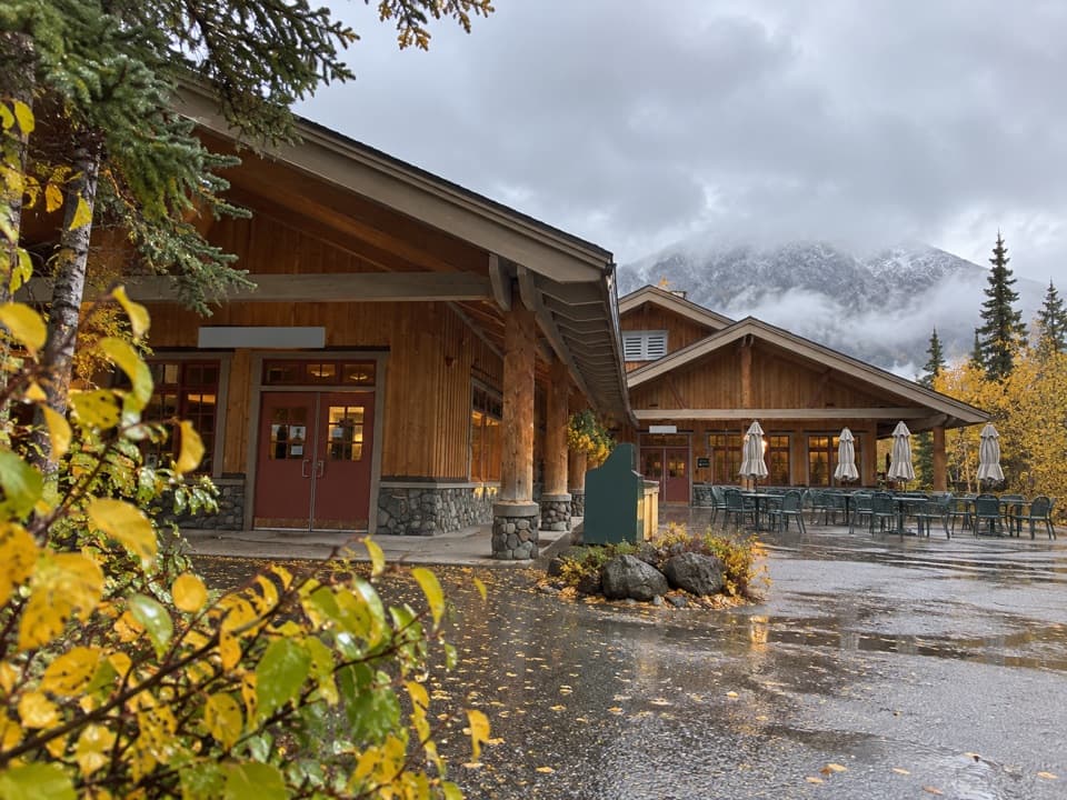
“You're approaching the Denali Visitor Center campus. In summer, I'd stop for the twenty-minute film, Heartbeats of Denali, and the exhibits before choosing where to explore.”

Plays as you drive up to this trailhead in the Parkwolf Denali Tour Guide.

More stories near here in the app

  • Horseshoe Lake Trailhead
  • Riley Creek Campground and Mercantile
  • Denali Bus Depot and Backcountry Permits
  • Riley Creek Picnic Area and Entrance Sign
  • 78 audio storiesacross Denali’s roads, triggered by GPS as you drive
  • Wildlife heatmapsfor Grizzly Bear, Wolf, Canada Lynx, and 13 more
  • Works offlinemaps, 21 trails, 53 places, and audio download before you lose signal
  • CarPlay readysimple controls built for the drive
★★★★★
“Fantastic app with many points of information… It’s great to just turn on while you’re driving and it gives you an audio tour of the national Park. We love it!!!!”
JMJamesApp Store review
Download Parkwolf on the App StoreGet Parkwolf on Google Play

4.7 from 8,600+ ratings

Trail guide

Hiking Roadside Hiking Trail

A short point-to-point climbRoadside Hiking Trail is a 1.

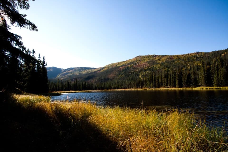
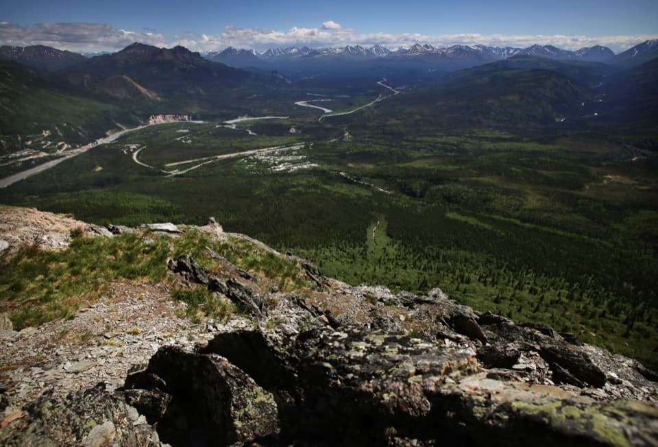
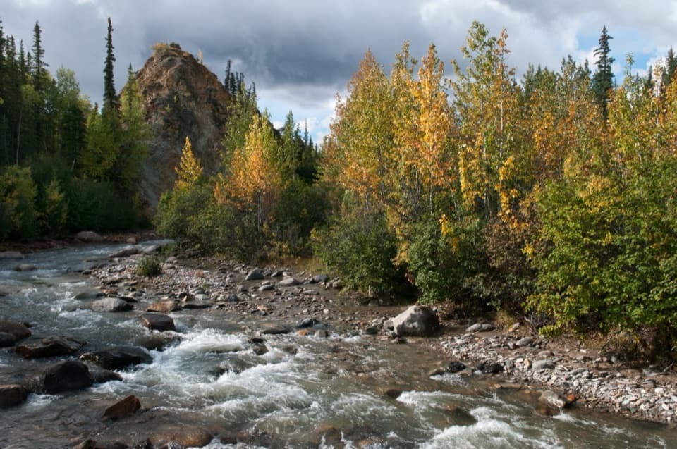
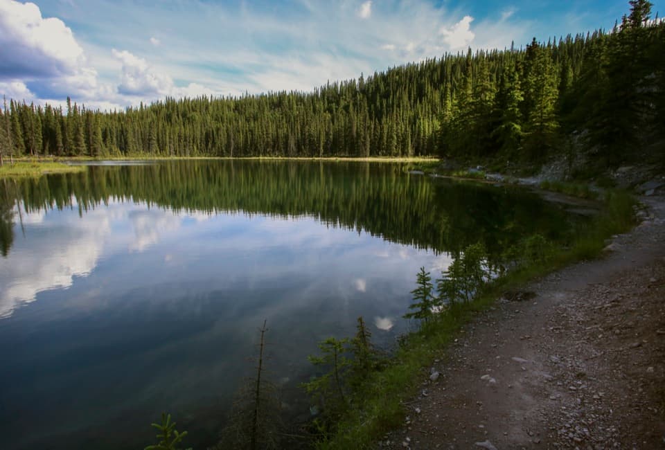
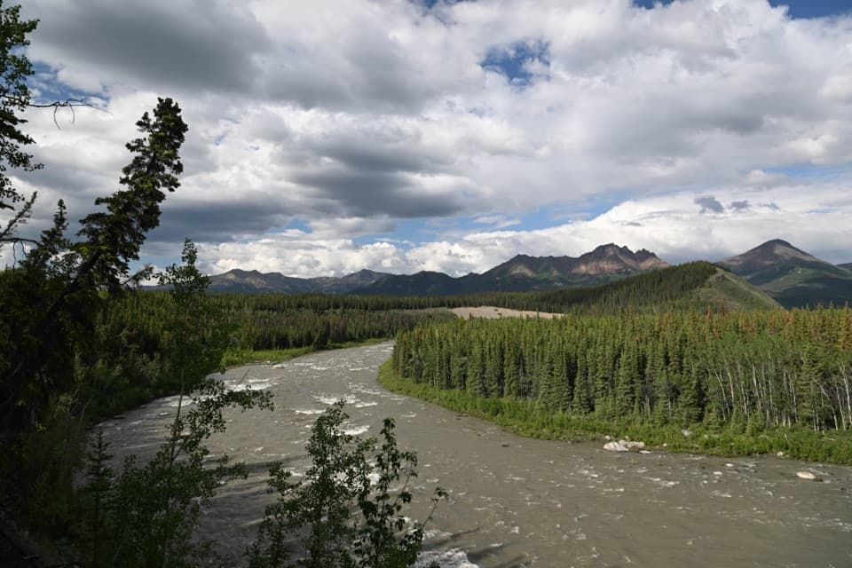
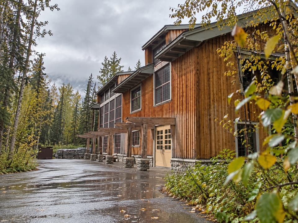
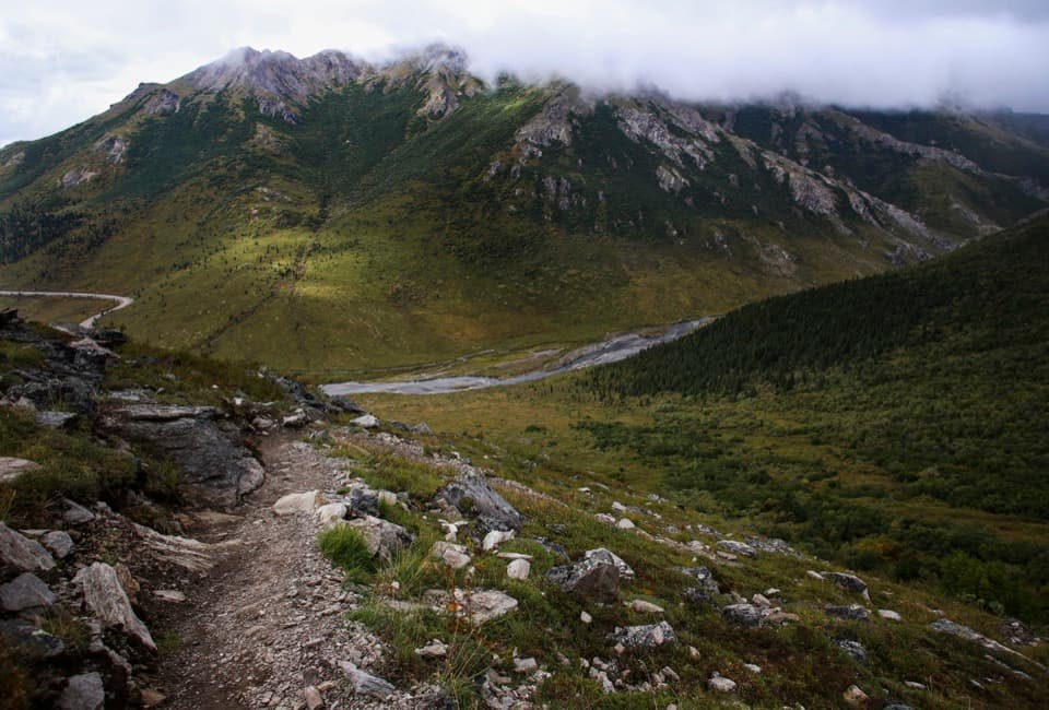
Roadside Hiking Trail is a 1.8-mile one-way walk from the Denali Visitor Center campus, via the Taiga Trail, to Park Headquarters and the sled dog kennels. It climbs through spruce, aspen, and birch on compacted gravel; come for the forest walk and working-dog stop rather than a summit or big viewpoint. The route is moderate over a short distance. One published figure gives about 350 feet of elevation change; another gives about 400 feet of total gain. Grades reach 15%. Published timing ranges from one to two hours one way, so leave extra time if you hike slowly or stop often.

Finding the route and planning a returnStart at the Denali Visitor Center or Murie Science and Learning Center and follow Taiga Trail…

Start at the Denali Visitor Center or Murie Science and Learning Center and follow Taiga Trail west to Roadside Trail. The other access is Park Headquarters and the sled dog kennels. This is not a loop: walking back to the visitor-center campus makes it about 3.6 miles total. Arrange a return ride before starting from only one end.

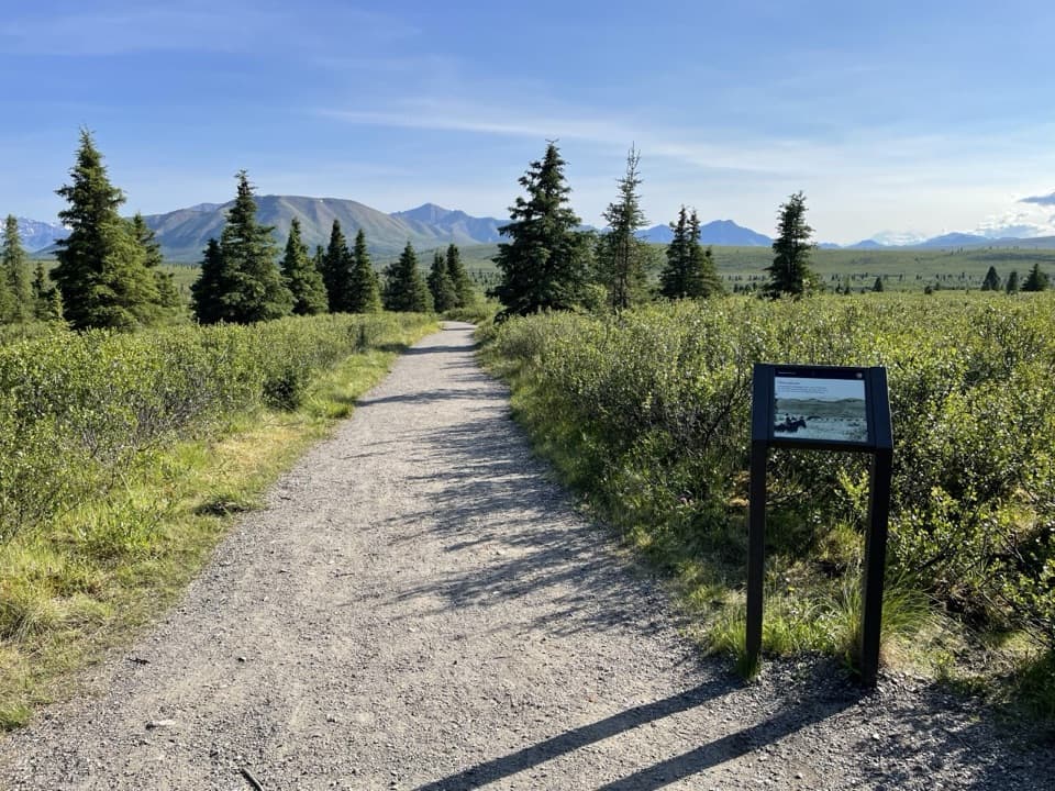
The forest walkThe path is generally uphill east to west, about 36 inches wide, and surfaced with compacted…

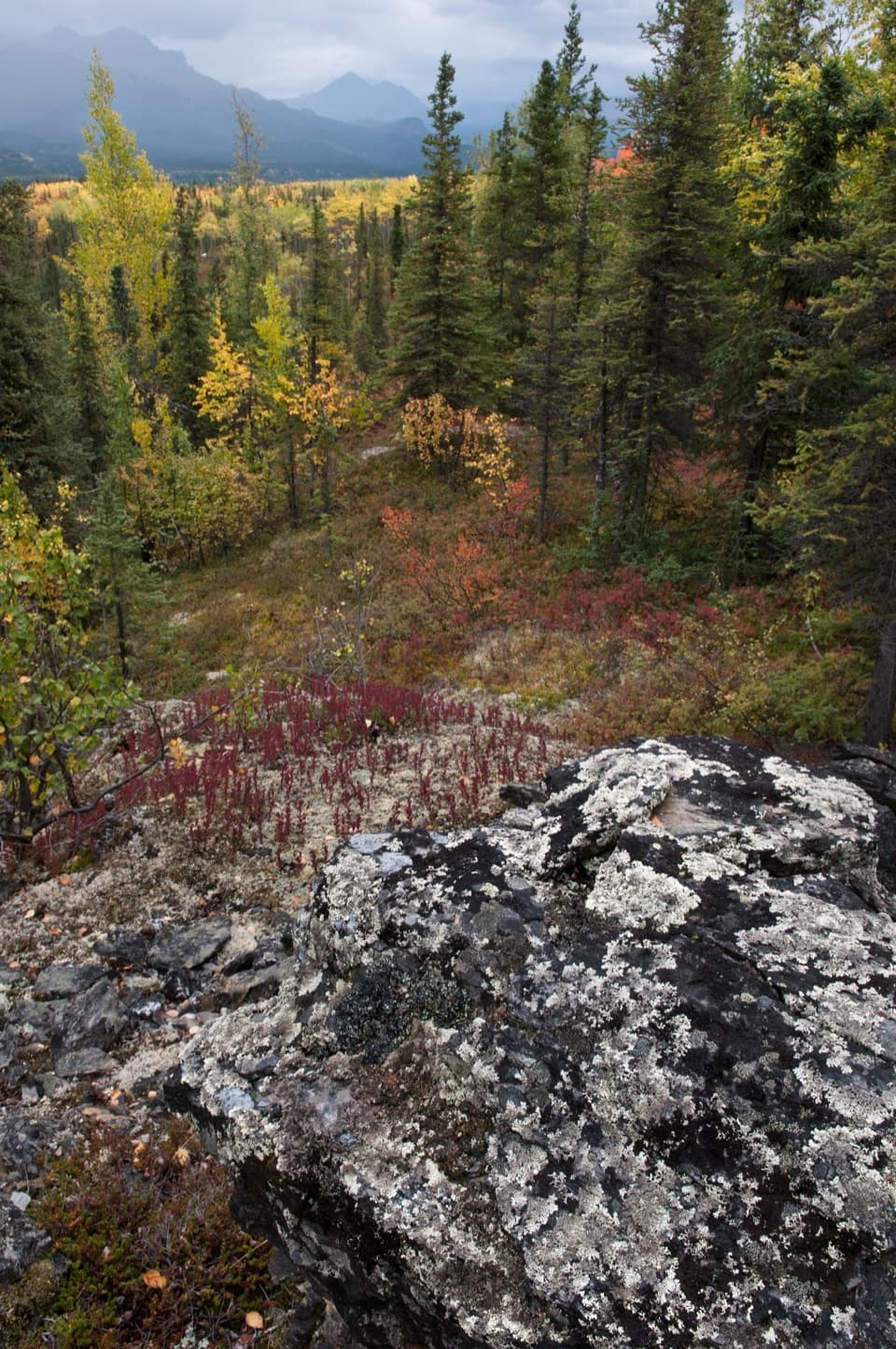
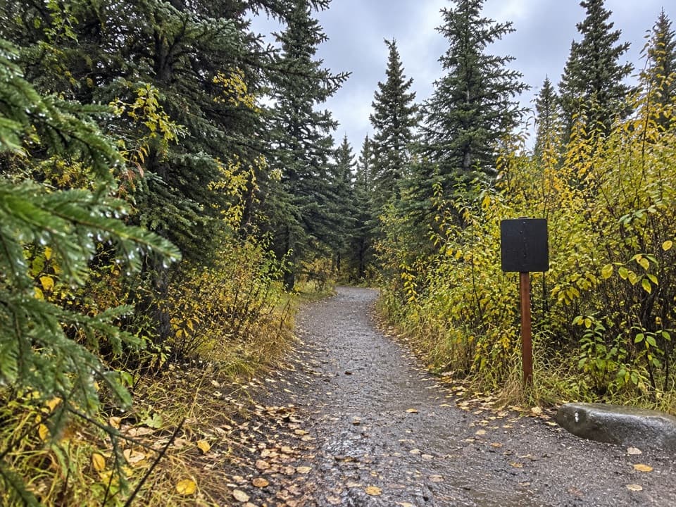
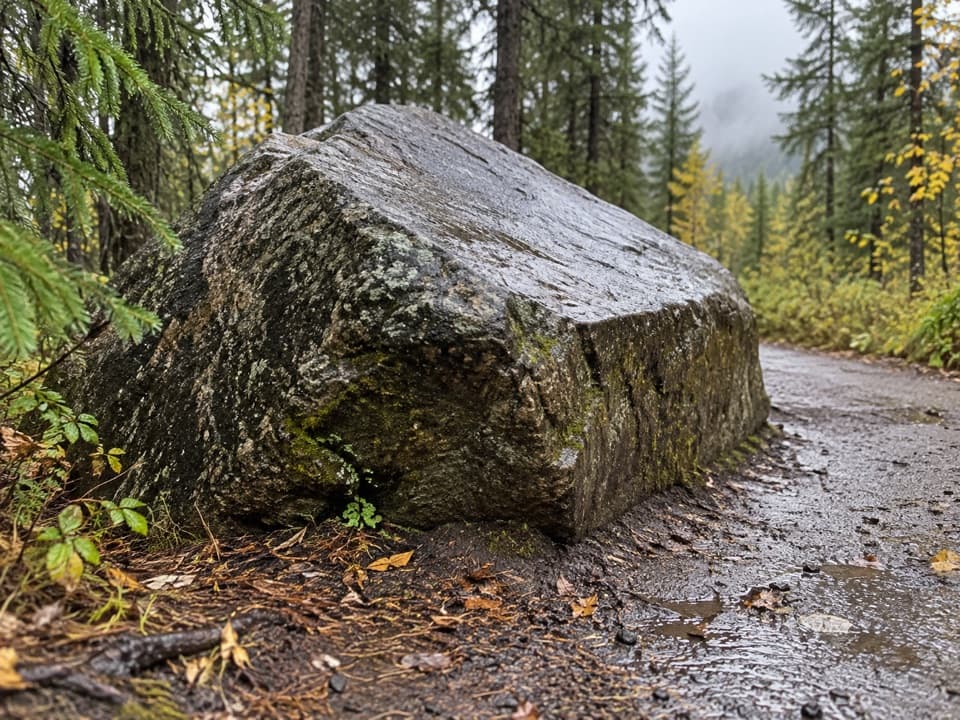
The path is generally uphill east to west, about 36 inches wide, and surfaced with compacted gravel. The grade reaches 15% in places, but the route is short and follows an established trail through mixed spruce, aspen, and birch forest. A glacial erratic beside the tread is the walk’s standout natural feature; frame it with the path and trees rather than expecting a broad overlook.

At the kennelsThe western end reaches the park headquarters and sled dog kennels.

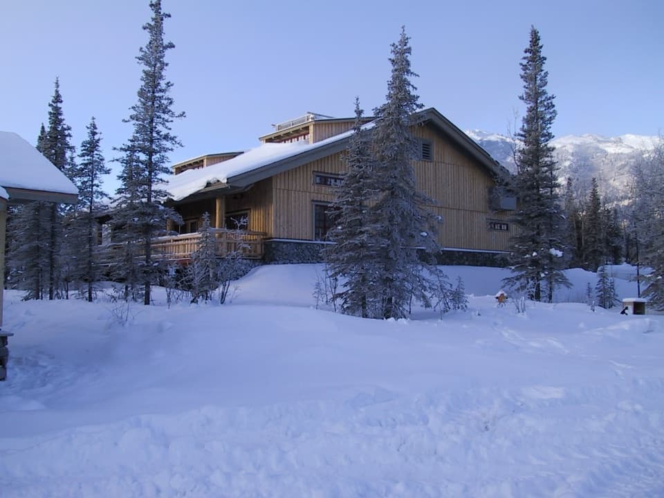
The western end reaches the park headquarters and sled dog kennels. Denali’s sled-dog program dates to 1922, and the dogs remain part of the park’s work in remote country. It gives this short connector a clear destination and a bit of history beyond the road corridor.

Bringing a dogPet dogs are allowed on this trail on a leash no longer than six feet.

Pet dogs are allowed on this trail on a leash no longer than six feet. Pets cannot ride Denali buses, so factor that into your return plan.

Wildlife

Wildlife in Denali

All Denali wildlife maps

Sighting maps show where each species has been reported across Denali. Wildlife moves, so no sighting is guaranteed.

Keep exploring

Near Roadside Hiking Trail

See it all on the map

Trails that start nearby

Places near the trailhead

Parkwolf’s Denali ranking

Top-rated trails in Denali

All 21 trails
  1. 1Savage Alpine TrailChallenging · 4 mi
  2. 2Mount Healy Overlook TrailChallenging · 6.4 mi
  3. 3Horseshoe Lake TrailModerate · 2 mi
  4. 4Savage River Loop TrailModerate · 2 mi
  5. 5Thorofare Ridge TrailChallenging · 1.6 mi
  6. 6Triple Lakes TrailChallenging · 9.5 mi

Take Parkwolf to Denali.

The audio tour guide for the drive, plus offline maps, trails, and wildlife heatmaps for when the signal drops.

4.7 from 8,600+ ratings

Download Parkwolf on the App StoreGet Parkwolf on Google Play