Parking
Join at designated parking in Y Marian, Dolgellau (LL40 1DL), Penmaenpool (LL40 1YD), Morfa Mawddach (LL39 1BQ) or Barmouth (LL42 1LX); never block field or residential entrances.
#12 of 120 trails in Eryri
Eryri National Park, WA
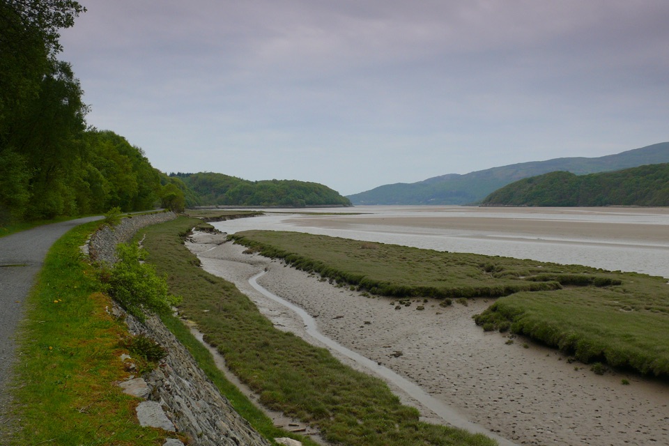
Flat estuary railway path from Dolgellau to Barmouth, wheelchair friendly
Overview
Map & elevation
Plan your hike

The highest, rockiest slopes around here are a summer buffet for grizzly bears.
Eryri Tour Guide
Parkwolf is a GPS audio tour guide for Eryri National Park. As you drive, it chimes in with what’s ahead: hidden gems, upcoming stops, history, geology, and wildlife, right through your car’s speakers.
Recorded for this trailhead
Dolgellau and the Mawddach Trail“You're coming up on Dolgellau, a town of dark stone and twisting lanes beneath Cader Idris. I'd give the centre an hour on foot; its small squares and shopfronts reward wandering more than a drive through.”
Plays as you drive up to this trailhead in the Parkwolf Eryri Tour Guide.
More stories near here in the app
“Fantastic app with many points of information… It’s great to just turn on while you’re driving and it gives you an audio tour of the national Park. We love it!!!!”


Trail guide
The Mawddach Trail (Llwybr Mawddach) is a one way route of 15 km / 9 miles between The Marian (Y Marian) in Dolgellau and Barmouth, following the southern shore of the Mawddach estuary. It is not a circular walk, and the official distance is quoted as 15 km even though the mapped line measures slightly under that. Managed by Eryri National Park Authority.
The trail runs along the trackbed of the old Barmouth to Ruabon railway, opened in 1865 and closed in 1965. From Dolgellau the path follows the sandy estuary west past Penmaenpool and Morfa Mawddach, with open water, sand and the surrounding hills in view for much of the way. The finish is the crossing of Barmouth Bridge, a flat, wide wooden railway viaduct about 820 m long and Grade II* listed. The estuary is known for its wildlife and for a long industrial and maritime history.
Graded Easy Access for All and suitable for people of all abilities, including conventional wheelchairs, pushchairs and off road mobility scooters. The surface is largely flat and even with no steps or steep sections, and the way is clearly marked. The route is wide, reaching about 3 m for most of the Dolgellau to Morfa Mawddach section. Comfortable shoes or trainers are enough.
Allow about 6 hours for the full one way walk at an unhurried pace, less if you cover only part of it. Because the route is one way, arrange your return separately before you set out, or plan a there and back walk from one of the access points.
You can join or leave the trail at Y Marian in Dolgellau, Penmaenpool, Morfa Mawddach and Barmouth. Use the designated parking at Y Marian LL40 1DL, Penmaenpool LL40 1YD, Morfa Mawddach LL39 1BQ or Barmouth LL42 1LX, and never block field or residential entrances. Accessible toilets are available at Dolgellau, Penmaenpool, Morfa Mawddach and Barmouth.
The walk is essentially level throughout, so the main considerations are distance and the shared nature of a wide, popular path. After crossing Barmouth Bridge, expect blown sand on the path, which can be loose underfoot and awkward for wheels.
Dogs are welcome on public footpaths and open access land. On public rights of way keep them under close control, and use a short lead near livestock or wildlife. On open access land a lead no longer than 2 m is required from 1 March to 31 July.
Light is softer early or late in the day, which suits the wide estuary views and the long line of Barmouth Bridge. If you want height and a short sharp climb instead of a level estuary walk, Panorama Walk near Barmouth is a separate circular viewpoint route graded hard or strenuous, so it needs a different level of fitness and footwear from this trail.
Wildlife
 77 sightingsGrey HeronMost seen around 7 AMSighting map
 17 sightingsTawny OwlMost seen around 6 AMSighting map
 32 sightingsCommon RavenMost seen around 8 AMSighting map
 21 sightingsGreat Spotted WoodpeckerMost seen around 7 AMSighting map
 18 sightingsEuropean RabbitMost seen around 7 AMSighting map
 161 sightingsViviparous LizardMost seen around 10 AMSighting map
Sighting maps show where each species has been reported across Eryri. Wildlife moves, so no sighting is guaranteed.
Keep exploring
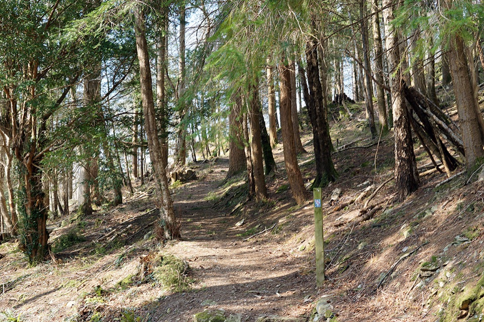 ModerateAbergwynant Woods6 km · 2 hr · 3.3 km awayZigzag climbs, oak woodland and wide views over the Mawddach estuary
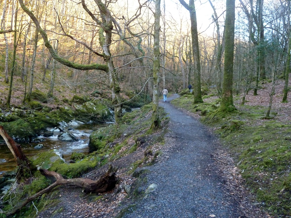 ModerateTorrent Walk4.2 km · 1.3 hr · 3.3 km awayCascades, mossy ravine woodland and mill ruins on a short circular walk
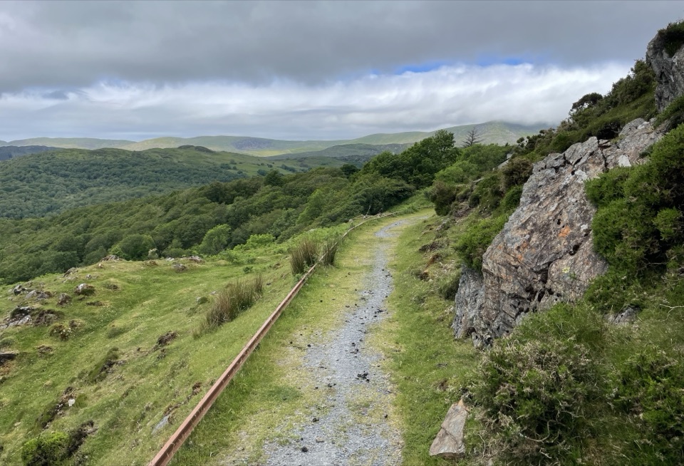 ModerateNew Precipice Walk1.7 km · 1 hr · 3.6 km awayA short hillside path on an old tramway above the Mawddach estuary
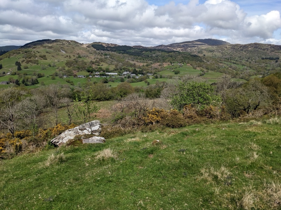 ModerateFoel Offrwm Circular4 km · 1 hr · 3.6 km awayA short woodland and estate loop with wide south Meirionnydd views
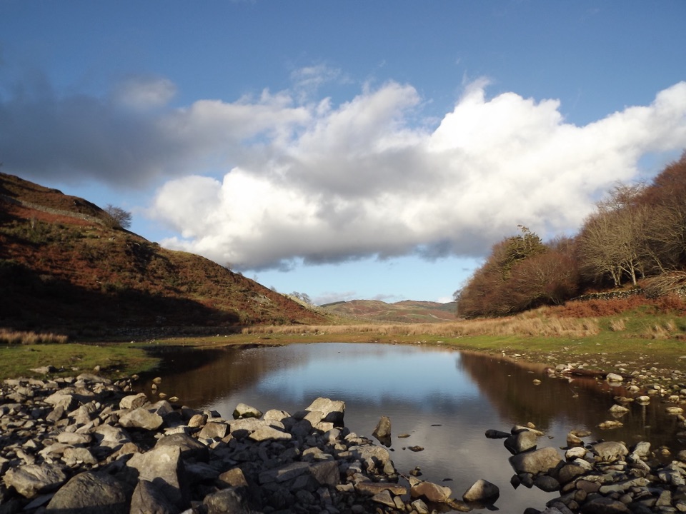 ModeratePrecipice Walk5.3 km · 2 hr · 3.6 km awayHigh-level circuit above the Mawddach with lake, oaks and mountain views
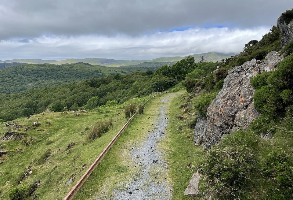 EasyFoel Ispri Path0.7 km · 15 min · 3.6 km awayFlat, step-free out and back to an elevated Mawddach Estuary view
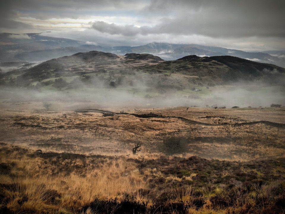 ChallengingPony Path (Tŷ Nant)10 km · 5 hr · 4 km awaySteady zigzag climb to Cader Idris summit, with a short rocky scramble
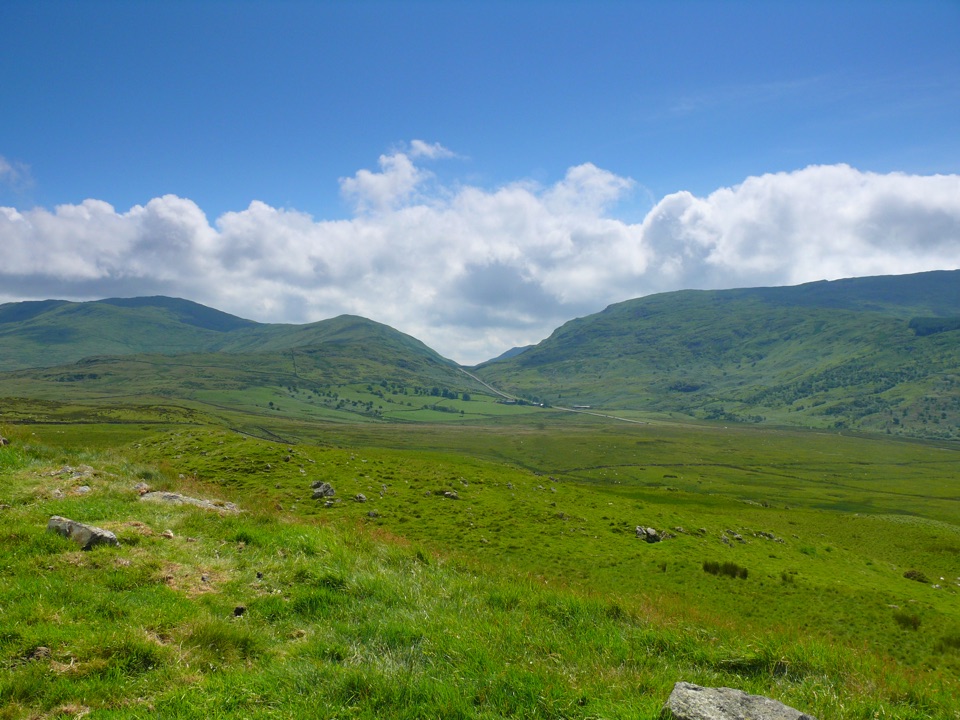 ModerateFoel Caerynwch3.7 km · 1.5 hr · 4.3 km awayA short steep climb to panoramic Meirionnydd hill views from Brithdir
 Sight · 0.2 km awayDolgellauGrey dolerite townscape and tangled lanes beneath Cader Idris
 Sight · 0.2 km awayTŷ SiamasA Welsh folk-music centre in a handsome former market hall
 Sight · 1.7 km awayCymer AbbeyThree medieval arches frame the Mawddach valley
 Sight · 5.2 km awayCader IdrisA high rocky summit above the dark bowl of Llyn Cau
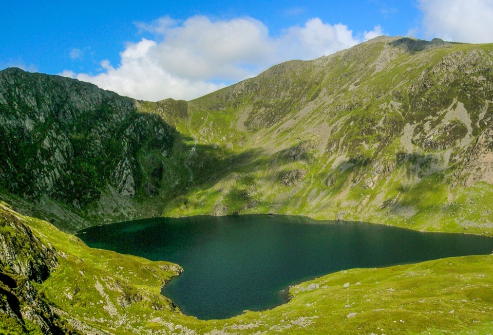 Sight · 5.8 km awayLlyn CauA glacial lake tucked beneath Cadair Idris's steep crater rim
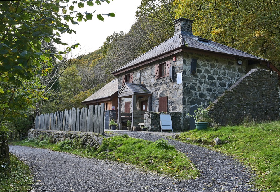 Visitor center · 6.4 km awayCader Idris Visitor CentreA stone mountain base with wildlife exhibits and gentle woodland paths
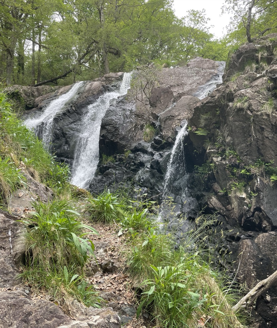 Sight · 6.5 km awayRhaeadr Ddu (Black Falls)Two mossy cascades drop about 60 feet through ancient oak woodland
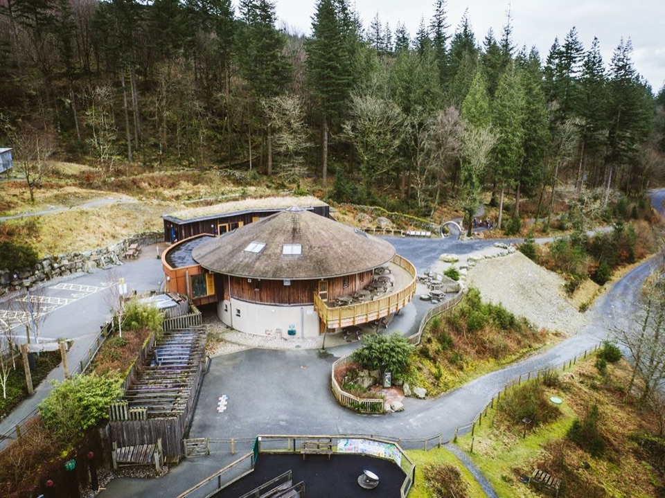 Visitor center · 8.9 km awayCoed y Brenin Visitor CentreBritain’s first purpose-built mountain-bike centre, now a quiet trailhead
Parkwolf’s Eryri ranking

The audio tour guide for the drive, plus offline maps, trails, and wildlife heatmaps for when the signal drops.




