Parking
Dôl Idris Car Park (SH 732 116) is the designated start. The T2 bus stops at Minffordd, Hotel for Cader Idris. Park only in designated places and do not block field or residential entrances.
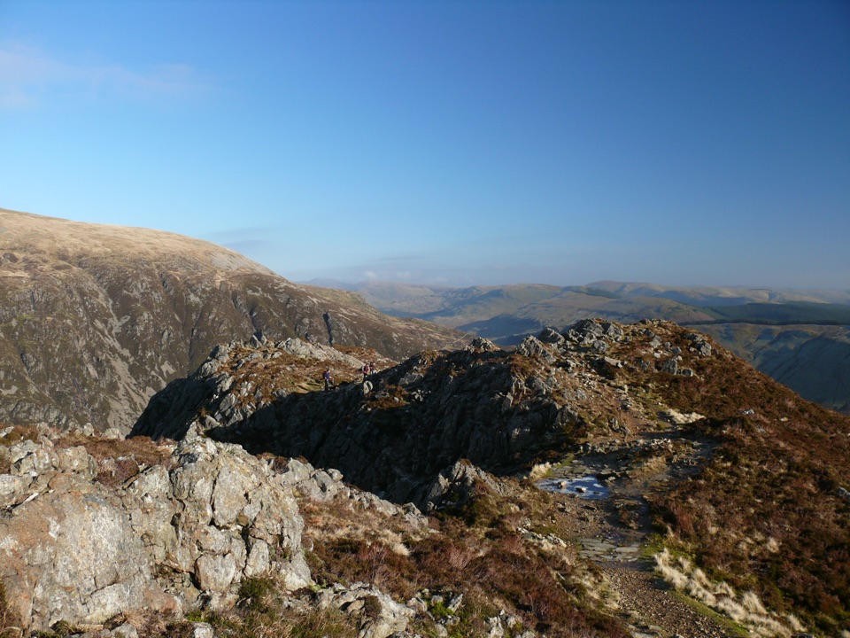
#7 of 120 trails in Eryri
Eryri National Park, WA
Waterfalls, Llyn Cau's cwm, and a scrambly cliff-edge push to Penygadair
Overview
An out-and-back walk from Dôl Idris Car Park (SH 732 116) to Penygadair, the 893 m summit of Cadair Idris, returning by the same path. Total distance is 9 km round trip, and the sampled profile climbs from roughly 100 m at the car park to the summit ridge, so the height is gained in one sustained effort. The mapped line is stored once as a single corridor of about 4.6 km one way, because you walk the same ground back down. Most reasonably fit walkers take around 4 to 6 hours including stops on the summit.
The official grading is hard and strenuous, suitable only for experienced country walkers with good fitness. Steep ground, rough terrain, short scrambling and real navigation skill are all part of it, and full hill-walking gear is expected.
Start by the toilets, pass the visitor centre and cross the bridge, then begin the steep pull through woodland beside the Nant Cadair falls, a stepped and stony ascent that gains height quickly. Above the trees the path reaches open mountain land and a fork: the right branch heads for Llyn Cau, while this route bears left for the summit.
 Parkwolf’s verdictThe climb and the payoff
Map & elevation
Plan your hike

The highest, rockiest slopes around here are a summer buffet for grizzly bears.
Eryri Tour Guide
Parkwolf is a GPS audio tour guide for Eryri National Park. As you drive, it chimes in with what’s ahead: hidden gems, upcoming stops, history, geology, and wildlife, right through your car’s speakers.
Recorded for this trailhead
Dôl Idris and Cader Idris“You're coming up on Dôl Idris, the starting point for Cader Idris's steep Minffordd Path and a much gentler lakeside walk.”
Plays as you drive up to this trailhead in the Parkwolf Eryri Tour Guide.
More stories near here in the app
“Fantastic app with many points of information… It’s great to just turn on while you’re driving and it gives you an audio tour of the national Park. We love it!!!!”


Trail guide
Cader Idris is built from sedimentary and igneous rocks of Ordovician age, and Llyn Cau sits in a crater-like cwm carved by cirque glaciation, which is why the scenery reads so clearly as a glacial landscape. The surrounding National Nature Reserve supports arctic-alpine plants including purple saxifrage and dwarf willow, with ancient oak woodland on the lower slopes and peregrine falcons above the crags.
Dogs may use public footpaths and open access land. On open access land a 2 m lead is required from 1 March to 31 July; on public rights of way dogs must be under close control, and a short lead is strongly advised near livestock and wildlife.
Park only in designated places at Dôl Idris and do not block field or residential entrances. The nearby Minffordd stop serves the same trailhead if you are not driving.
From there the walk opens into its best scenery, with views down into the glacial bowl of Cwm Cau and its lake. A steep climb over the Craig Cau area leads to a fence stile and high, cliff-edge ground where the Stone Shoot gully drops dangerously toward Llyn Cau. A short scramble over rock brings you to the summit shelter and Penygadair. Descend by the same path, keeping left at the fork rather than drifting onto the north-side route.
Compared with the more gradual Pony Path from Tŷ Nant, this southern approach is shorter, steeper and set against a more dramatic cwm.
Wildlife
 77 sightingsGrey HeronMost seen around 7 AMSighting map
 17 sightingsTawny OwlMost seen around 6 AMSighting map
 32 sightingsCommon RavenMost seen around 8 AMSighting map
 21 sightingsGreat Spotted WoodpeckerMost seen around 7 AMSighting map
 18 sightingsEuropean RabbitMost seen around 7 AMSighting map
 161 sightingsViviparous LizardMost seen around 10 AMSighting map
Sighting maps show where each species has been reported across Eryri. Wildlife moves, so no sighting is guaranteed.
Keep exploring
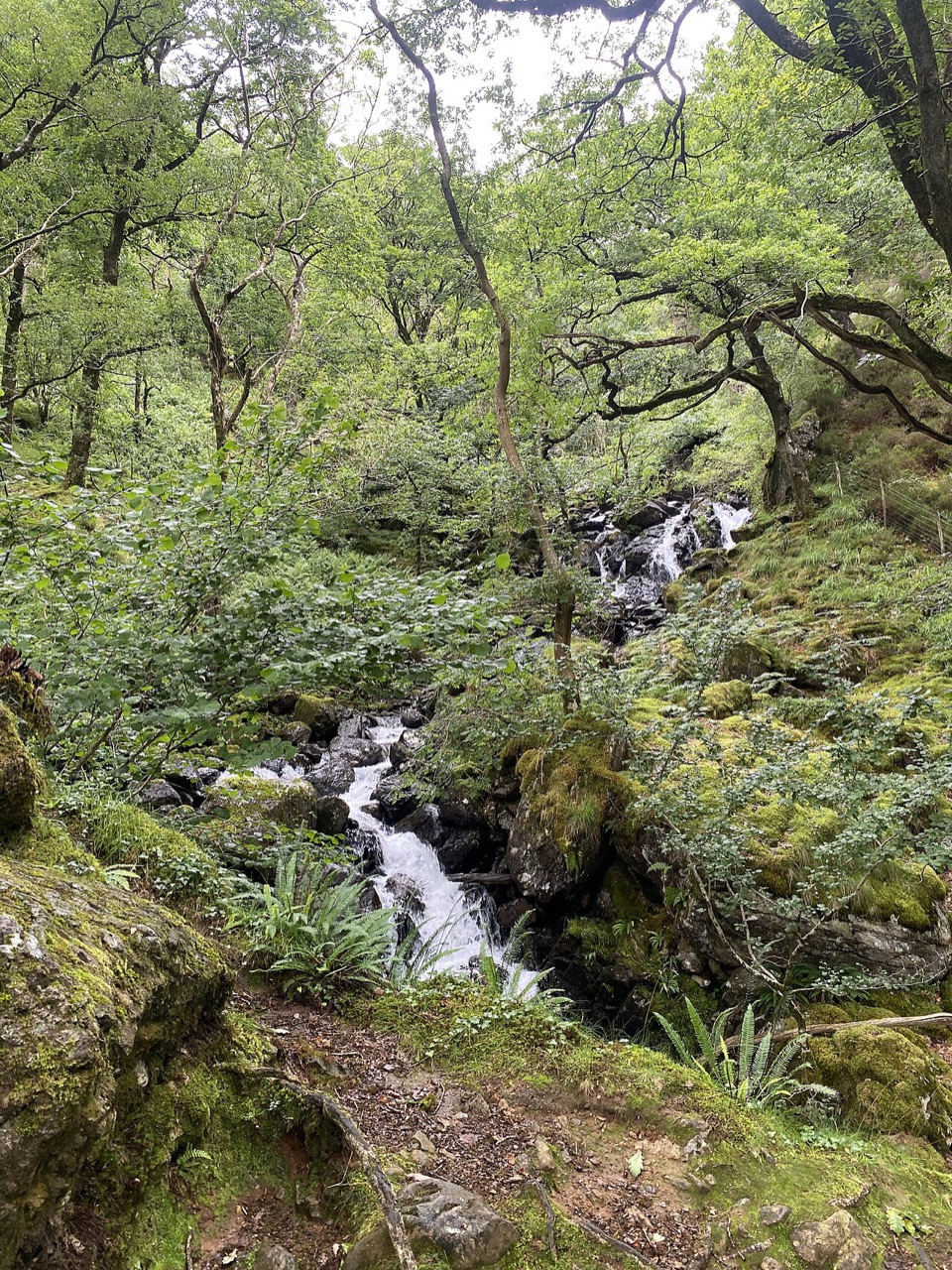 ModerateGorge Climb0.3 km · 23 min · At the trailheadSteep stone steps climb a mossy gorge to a waterfall viewpoint bench
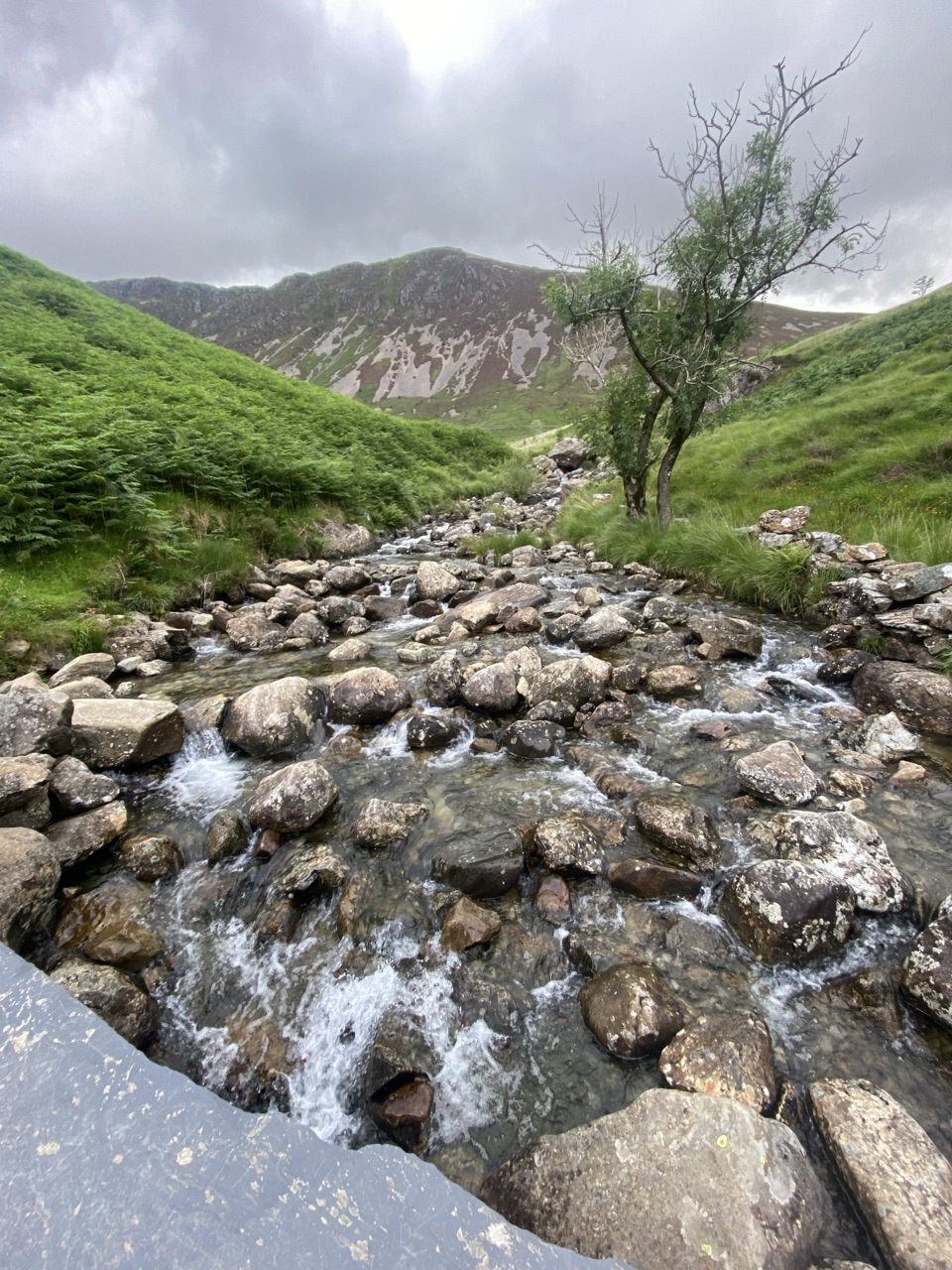 ChallengingNant Cadair Bridge2.1 km · 1.3 hr · At the trailheadSteep stepped climb through a waterfall gorge to a slate mountain bridge
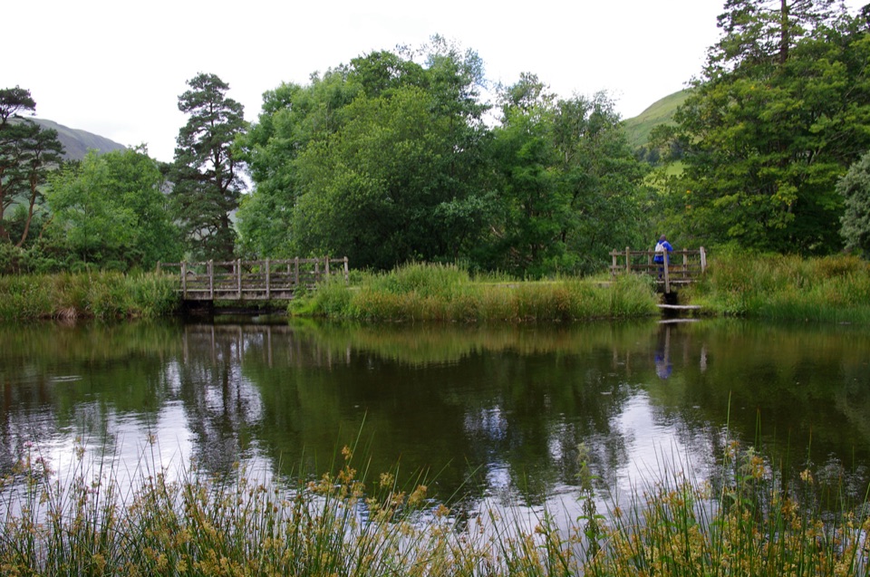 EasyParkland Circuit (Dôl Idris)0.9 km · 30 min · At the trailheadA gentle parkland loop around Llyn Dôl IdrisEasyDôl Idris Lake0.6 km · 24 min · At the trailheadStep-free lake circuit with fish ladder, footbridge and lakeside birdlife
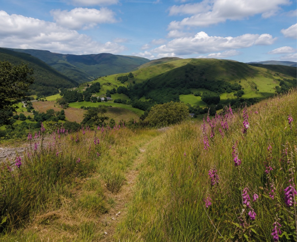 ChallengingPen y Bryn Trail3.4 km · 1.5 hr · 4.3 km awaySteep oak-wood climb to a derelict farmstead and hilltop bench views
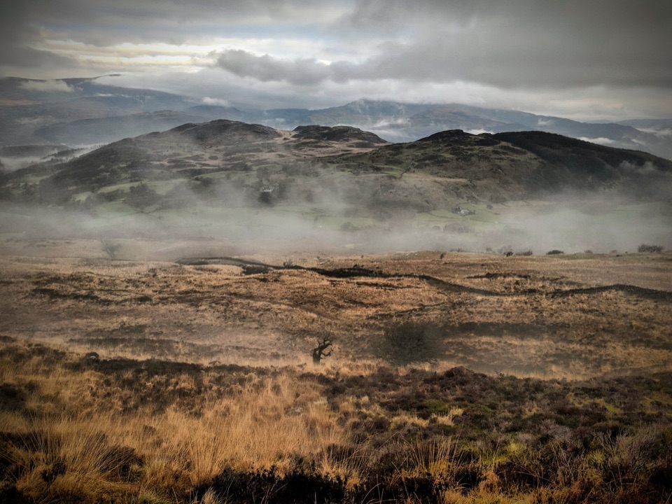 ChallengingPony Path (Tŷ Nant)10 km · 5 hr · 5 km awaySteady zigzag climb to Cader Idris summit, with a short rocky scramble
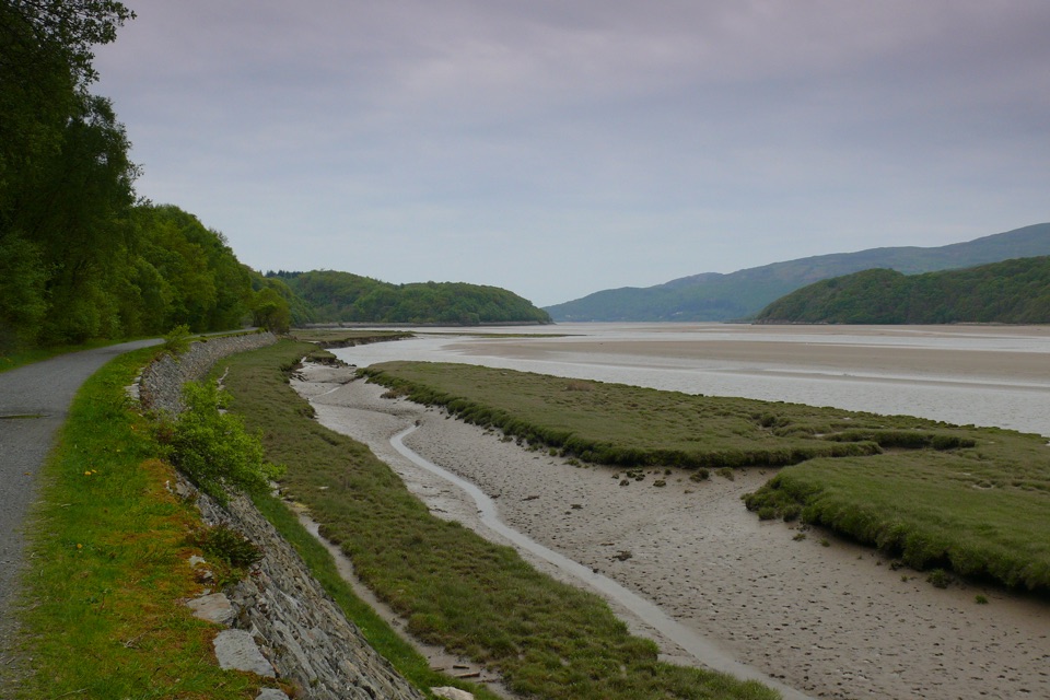 EasyMawddach Trail15 km · 6 hr · 6.4 km awayFlat estuary railway path from Dolgellau to Barmouth, wheelchair friendly
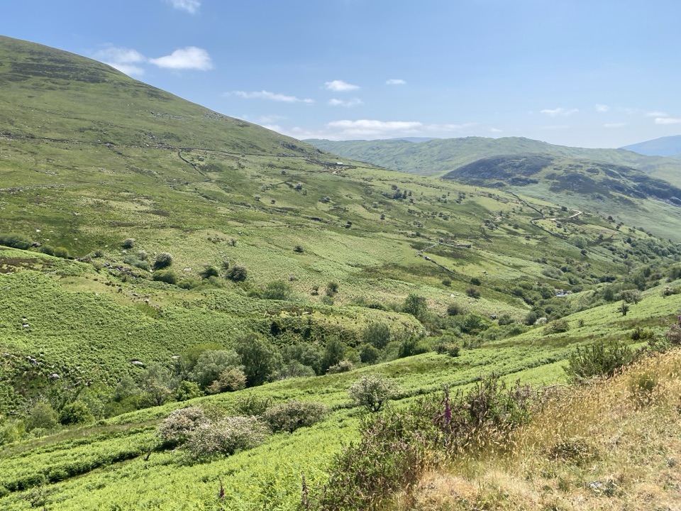 ChallengingLlanfihangel y Pennant Path, Cader Idris16.1 km · 7 hr · 6.6 km awayQuiet valley farms and a hard 16 km climb to Cader Idris
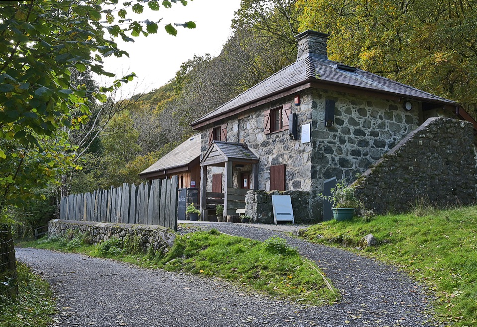 Visitor center · 0.3 km awayCader Idris Visitor CentreA stone mountain base with wildlife exhibits and gentle woodland paths
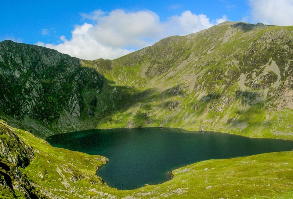 Sight · 1.8 km awayLlyn CauA glacial lake tucked beneath Cadair Idris's steep crater rim
 Sight · 2.5 km awayCader IdrisA high rocky summit above the dark bowl of Llyn Cau
 Sight · 6.2 km awayTŷ SiamasA Welsh folk-music centre in a handsome former market hall
 Sight · 6.2 km awayDolgellauGrey dolerite townscape and tangled lanes beneath Cader Idris
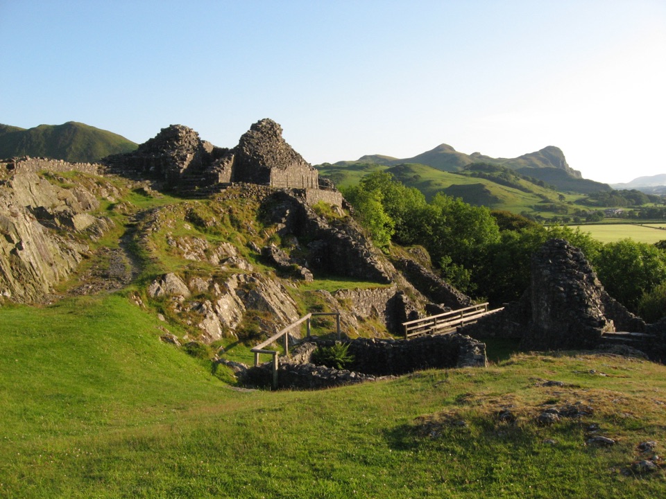 Sight · 7 km awayCastell y BereRuined Welsh stronghold on a rocky crag above the Dysynni
 Sight · 8 km awayCymer AbbeyThree medieval arches frame the Mawddach valley
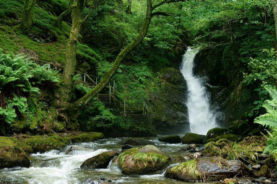 Sight · 10.8 km awayDolgoch FallsThree forest waterfalls linked by a steep, atmospheric ravine walk
Parkwolf’s Eryri ranking
The audio tour guide for the drive, plus offline maps, trails, and wildlife heatmaps for when the signal drops.




