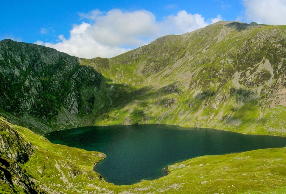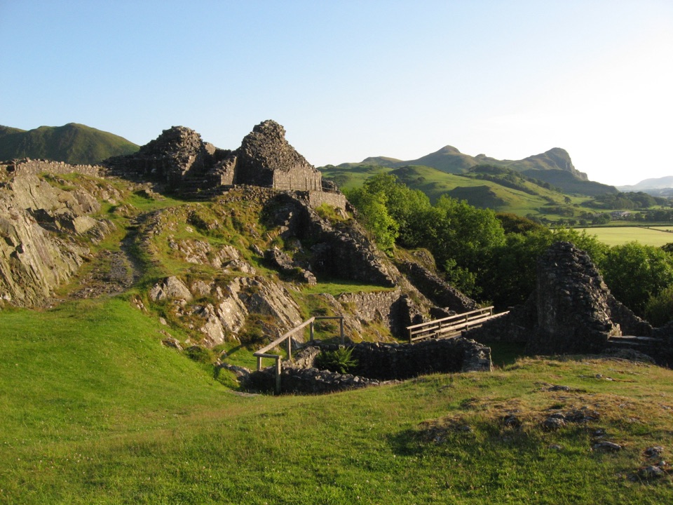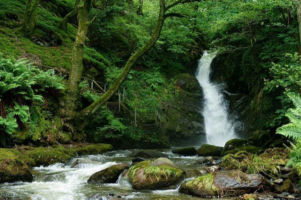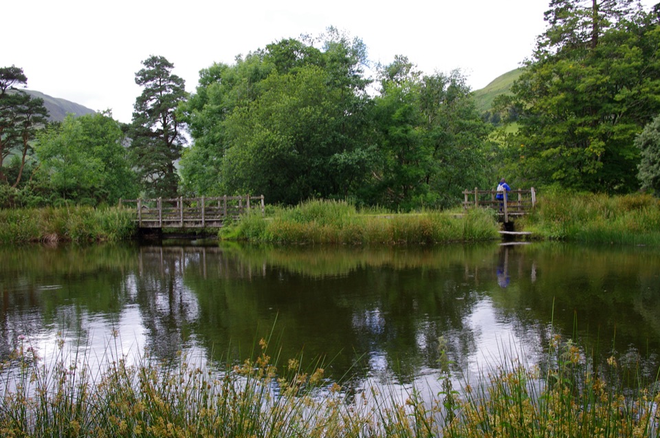
Parkland Circuit (Dôl Idris) in Eryri National Park

Eryri National Park, WA

Parkland Circuit (Dôl Idris)

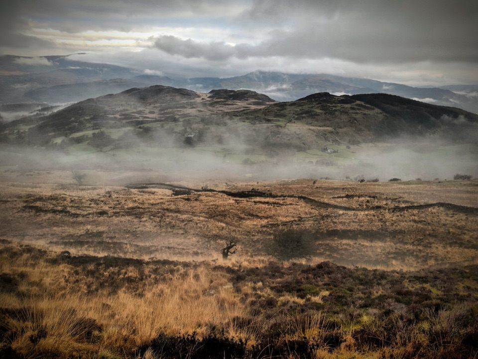
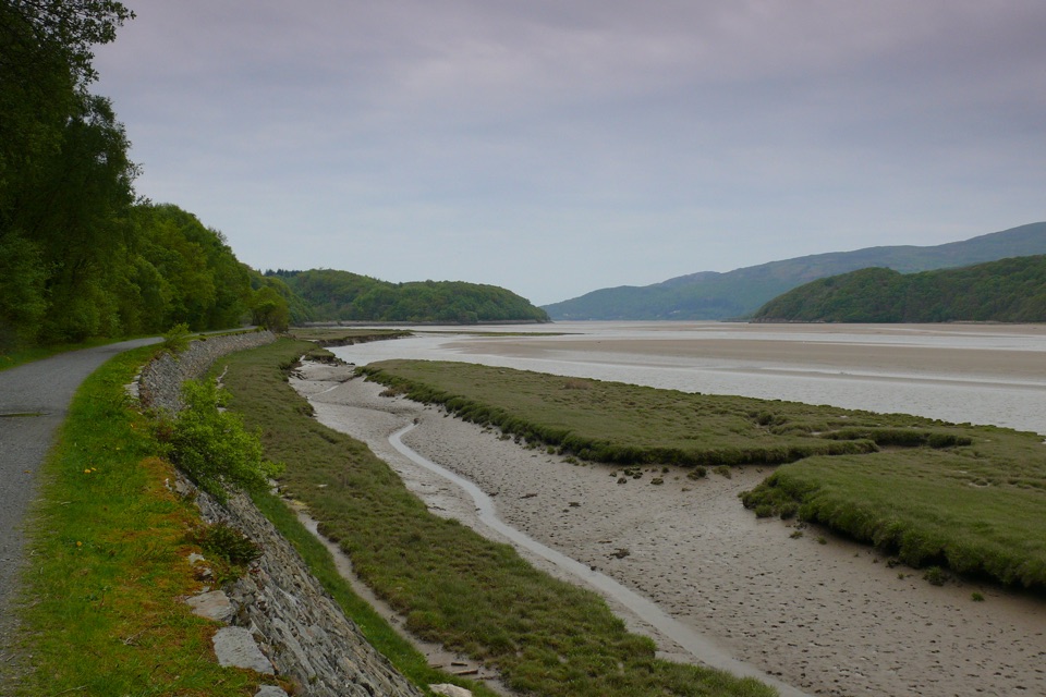
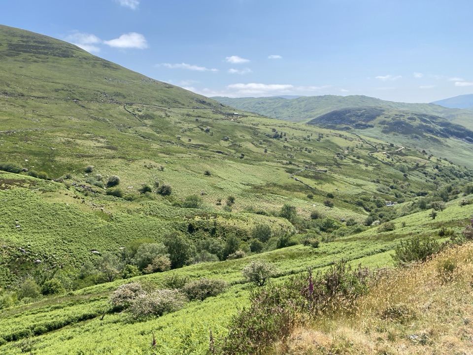
A gentle parkland loop around Llyn Dôl Idris

Photo: Wikimedia Commons
Length
0.9km
Time
30min
Elev. change
69m
Difficulty
Easy
  • Loop
  • High point 166 m

Hear the audio tour

Dôl Idris and Cader Idris

Overview

About Parkland Circuit (Dôl Idris)

This circular 0.9 km (0.56 mile) loop starts and finishes at Dôl Idris Car Park, passing around Llyn Dôl Idris before climbing gradually through the parkland and returning on an unsurfaced track. It is a short, accessible outing rather than a mountain walk, with a bridge, lake views, specimen trees and the remains of the Idris soft-drinks works along the way. The route is suitable for pushchairs and off-road mobility scooters, and the largely level opening section also works for conventional wheelchairs; the woodland climb and rougher return are the parts to assess carefully.

Why go

  • Short circular route with clear waymarking
  • Lake, bridge and parkland scenery
  • No steps or stiles
  • Suitable for pushchairs and off-road mobility scooters

Heads up

  • The woodland section reaches a gradual 16% slope
  • Return track is unsurfaced
  • Limited walk if you want a longer or more strenuous hike

Map & elevation

The route

Loading the Eryri map
Full map
Elevation97–166 m
TrailheadDôl Idris Car Park, Talyllyn52.68692, -3.87835
Keep this map with you offline in the Parkwolf app

Plan your hike

Before you go

Parking

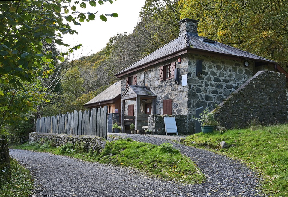
Use Dôl Idris Car Park off the A487 via the B4405. The postcode is LL36 9AJ but covers a wide area, so follow the signed entrance rather than relying on the postcode alone. Facilities include Blue Badge parking, accessible toilets, accessible picnic tables, a visitor centre and a seasonal tea room.


Safety

The route is graded accessible, but the woodland climb reaches a gradual 16% slope and the return uses an unsurfaced track. Check that section against the needs of your group, keep to the waymarked route, and park only in designated areas without blocking field or residential entrances.

A park ranger sits on a dash-mounted phone, talking, as Parkwolf’s Tour Guide plays “Army Cutworm Moths: A Grizzly Bear Buffet” on Grand Loop Road below Dunraven Pass in Yellowstone
Parkwolf Tour GuideThe highest, rockiest slopes around here are a summer buffet for grizzly bears.

Eryri Tour Guide

Your drive to Parkland Circuit (Dôl Idris), narrated.

Parkwolf is a GPS audio tour guide for Eryri National Park. As you drive, it chimes in with what’s ahead: hidden gems, upcoming stops, history, geology, and wildlife, right through your car’s speakers.

Recorded for this area

Dôl Idris and Cader Idris
0:00 / 0:38
“You're coming up on Dôl Idris, the starting point for Cader Idris's steep Minffordd Path and a much gentler lakeside walk.”

Plays on the road 0.1 km from the trailhead in the Parkwolf Eryri Tour Guide.

More stories near here in the app

  • The Ginger Beer Ruin
  • The Cliff Wilson Made Taller
  • The Mountain's Underwater Past
  • Idris's Chair
  • 298 audio storiesacross Eryri’s roads, triggered by GPS as you drive
  • Wildlife heatmapsfor Grey Heron, Tawny Owl, Common Raven, and 9 more
  • Works offlinemaps, 120 trails, 82 places, and audio download before you lose signal
  • CarPlay readysimple controls built for the drive
★★★★★
“Fantastic app with many points of information… It’s great to just turn on while you’re driving and it gives you an audio tour of the national Park. We love it!!!!”
JMJamesApp Store review
Download Parkwolf on the App StoreGet Parkwolf on Google Play

4.7 from 8,600+ ratings

Wildlife

Wildlife in Eryri

All Eryri wildlife maps

Sighting maps show where each species has been reported across Eryri. Wildlife moves, so no sighting is guaranteed.

Keep exploring

Near Parkland Circuit (Dôl Idris)

See it all on the map

Trails that start nearby

Places near the trailhead

Parkwolf’s Eryri ranking

Top-rated trails in Eryri

All 120 trails
  1. 1Yr Wyddfa Pyg Track and Miners’ Track LoopChallenging · 12.1 km
  2. 2Llanberis PathChallenging · 14.5 km
  3. 3Pyg TrackChallenging · 11 km
  4. 4Miners’ TrackChallenging · 12.9 km
  5. 5Cwm Idwal WalkModerate · 4.8 km
  6. 6Watkin PathChallenging · 12.9 km

Take Parkwolf to Eryri.

The audio tour guide for the drive, plus offline maps, trails, and wildlife heatmaps for when the signal drops.

4.7 from 8,600+ ratings

Download Parkwolf on the App StoreGet Parkwolf on Google Play