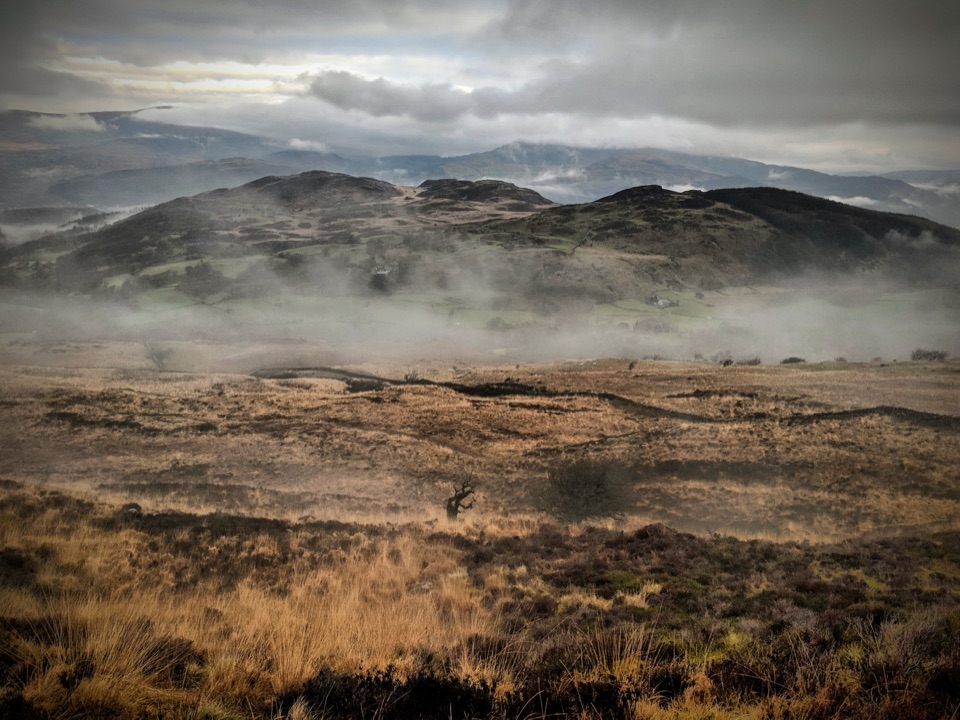
Pony Path (Tŷ Nant) in Eryri National Park

#10 of 120 trails in Eryri

Eryri National Park, WA

Pony Path (Tŷ Nant)

Steady zigzag climb to Cader Idris summit, with a short rocky scramble

Photo: Wikimedia Commons
Length
10km
Time
5hr
Elev. change
662m
Difficulty
Challenging
  • Dogs allowed
  • High point 820 m

Hear the audio tour

Pony Path from Tŷ Nant

Overview

About Pony Path (Tŷ Nant)

This is an out-and-back walk on the north side of Cader Idris, starting and finishing at Tŷ Nant Car Park (grid reference SH 697 153). The official visitor distance is 10 km / 6.2 miles round trip, with 727 m / 2,384 ft of ascent and about 5 hours of walking. It is graded hard and strenuous, and it is one of three summit paths on the mountain.

Why go

  • More gradual summit approach than Minffordd
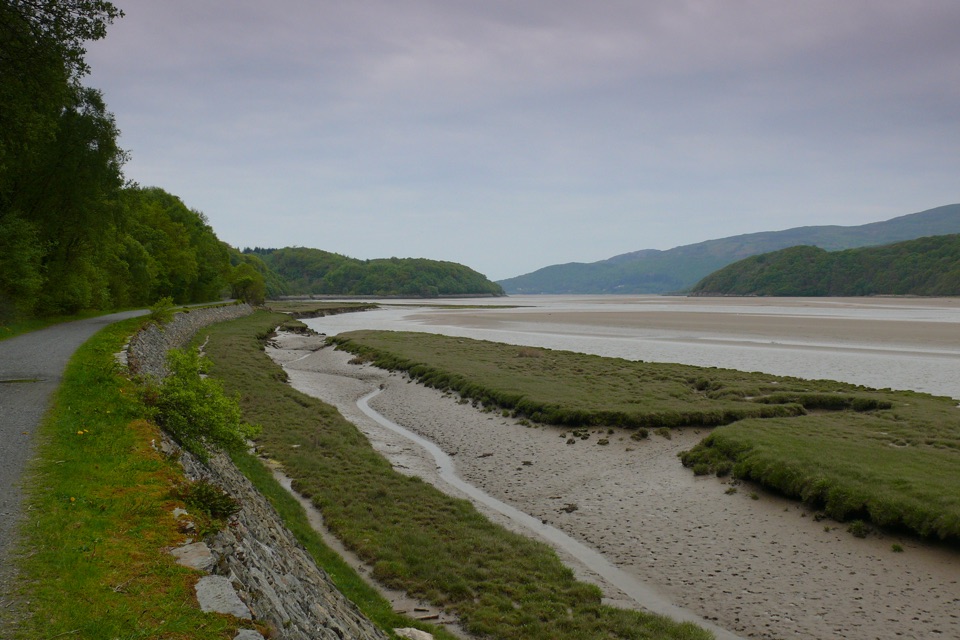
  • Wide views over the Mawddach estuary
  • Visible pillow lava and varied geology

Heads up

  • Loose rocky upper ground
  • Navigation is essential on the upper mountain
  • Short rocky scramble near the summit

Map & elevation

The route

Loading the Eryri map
Full map
Elevation158–820 m
TrailheadTŷ Nant Car Park52.71945, -3.92894
Keep this map with you offline in the Parkwolf app

Plan your hike

Before you go

Parking

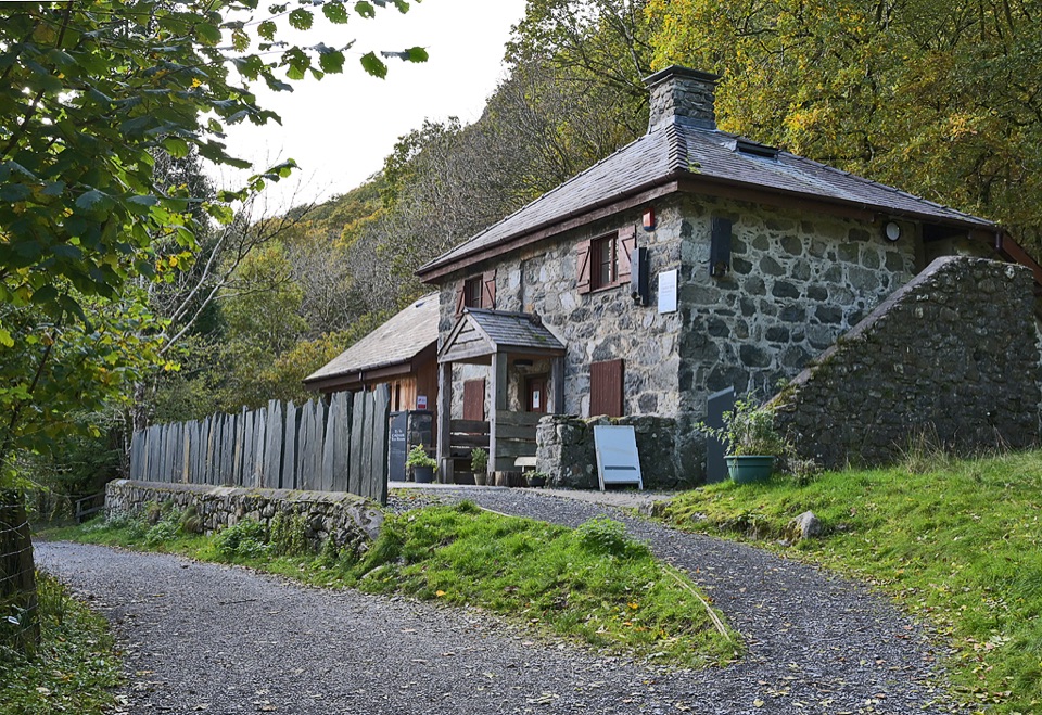
Tŷ Nant Car Park (SH 697 153), the Eryri National Park car park at the route start. Follow the short road approach from the car park to the Tŷ Nant farmhouse entrance. Park only in designated places and do not block field or residential entrances. Toilets are available.


Best time to go

Allow 5 to 6 hours and start early, both for daylight and because the car park fills. Weekends and bank holidays are the busiest, so a weekday gives a quieter climb. The mountain can hold snow and ice outside the warmer months, which makes the upper slopes a winter-skills route rather than a walk.

Safety

Hard and strenuous mountain route with 727 m of ascent, very steep and loose upper ground, a short rocky scramble, and difficult navigation in poor visibility. Snow and ice can make the upper mountain a winter route for experienced walkers with specialist equipment.

A park ranger sits on a dash-mounted phone, talking, as Parkwolf’s Tour Guide plays “Army Cutworm Moths: A Grizzly Bear Buffet” on Grand Loop Road below Dunraven Pass in Yellowstone
Parkwolf Tour GuideThe highest, rockiest slopes around here are a summer buffet for grizzly bears.

Eryri Tour Guide

Your drive to Pony Path (Tŷ Nant), narrated.

Parkwolf is a GPS audio tour guide for Eryri National Park. As you drive, it chimes in with what’s ahead: hidden gems, upcoming stops, history, geology, and wildlife, right through your car’s speakers.

Recorded for this trailhead

Pony Path from Tŷ Nant
0:00 / 0:23
“You're approaching Tŷ Nant, the start of the Pony Path up Cader Idris. This northern route climbs from woodland and old sheep pens to wide views over Llyn Gwernan and the Mawddach estuary.”

Plays as you drive up to this trailhead in the Parkwolf Eryri Tour Guide.

More stories near here in the app

  • The Bird With a White Flash
  • The Beak Built for Cones
  • Eight Shoes Before the Drove
  • Follow the Tide, Find the Birds
  • 298 audio storiesacross Eryri’s roads, triggered by GPS as you drive
  • Wildlife heatmapsfor Grey Heron, Tawny Owl, Common Raven, and 9 more
  • Works offlinemaps, 120 trails, 82 places, and audio download before you lose signal
  • CarPlay readysimple controls built for the drive
★★★★★
“Fantastic app with many points of information… It’s great to just turn on while you’re driving and it gives you an audio tour of the national Park. We love it!!!!”
JMJamesApp Store review
Download Parkwolf on the App StoreGet Parkwolf on Google Play

4.7 from 8,600+ ratings

Trail guide

Hiking Pony Path (Tŷ Nant)

The sequenceLeave the car park and follow the road for roughly 100 m to the Tŷ Nant farmhouse entrance.
  • Leave the car park and follow the road for roughly 100 m to the Tŷ Nant farmhouse entrance.
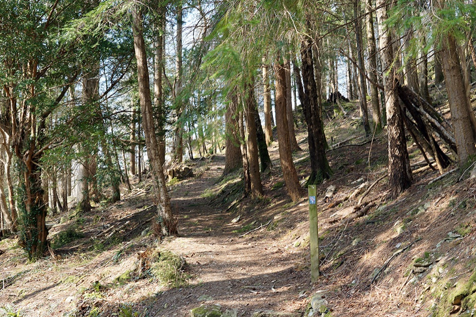
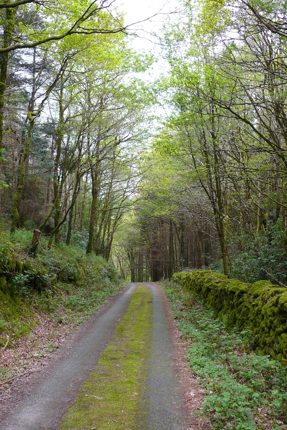
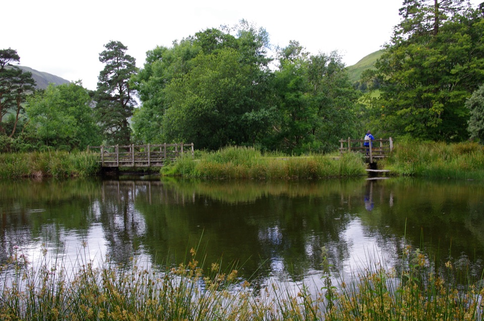
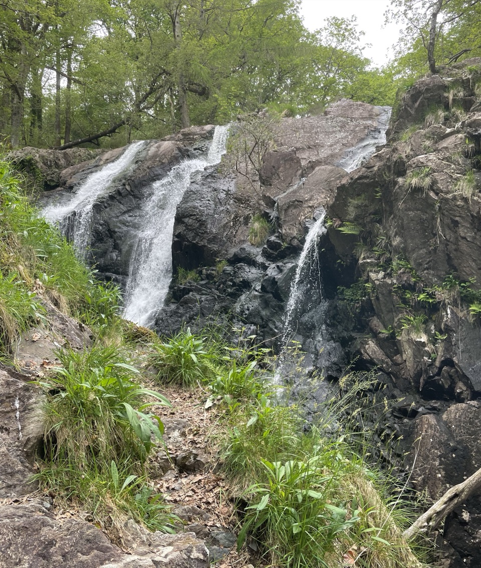
  • Pass through a kissing gate, cross bridges and woodland with calm streams.
  • Climb steep grassy slopes and zigzags past old stone sheep pens and a large boulder.
  • Cross gates near Cwm Llan, where the Llanfihangel y Pennant route joins.
  • Continue past Bwlch Cyfrwy and a ruined circular shelter.
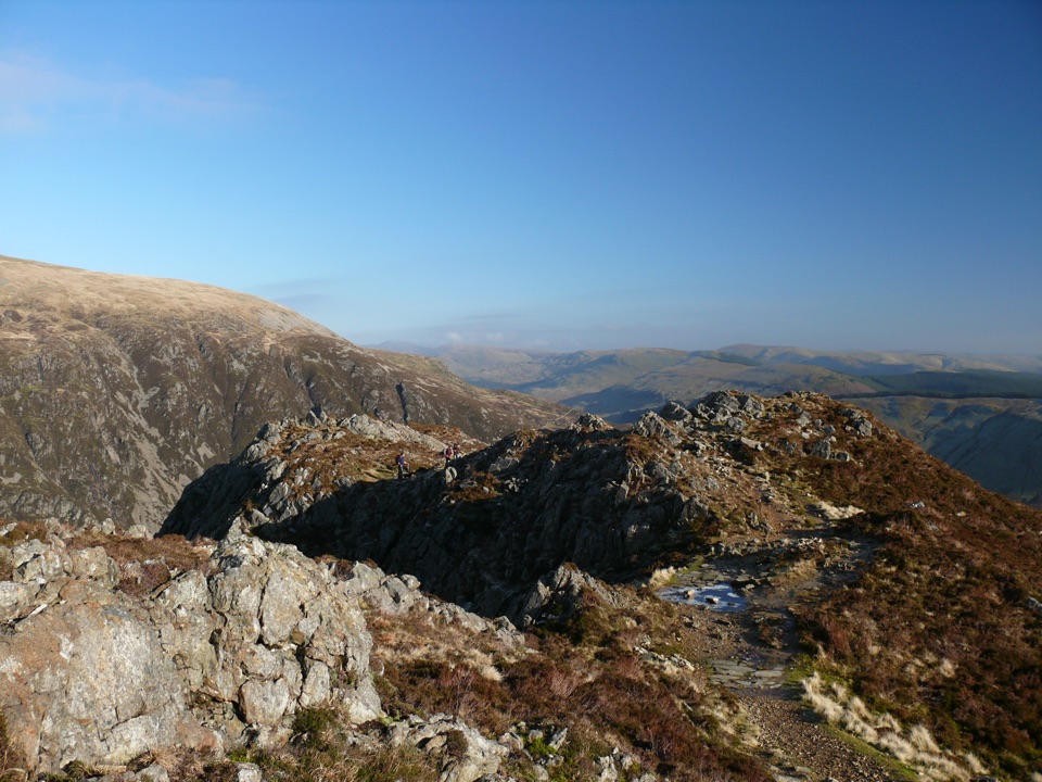
  • Cross rocky ground featuring pillow lava, then finish with a short rocky scramble on the summit approach to Penygadair.
  • Return by the same corridor.
Difficulty and groundThe climb is more gradual than the mountain's southern approach, but it is still a full…

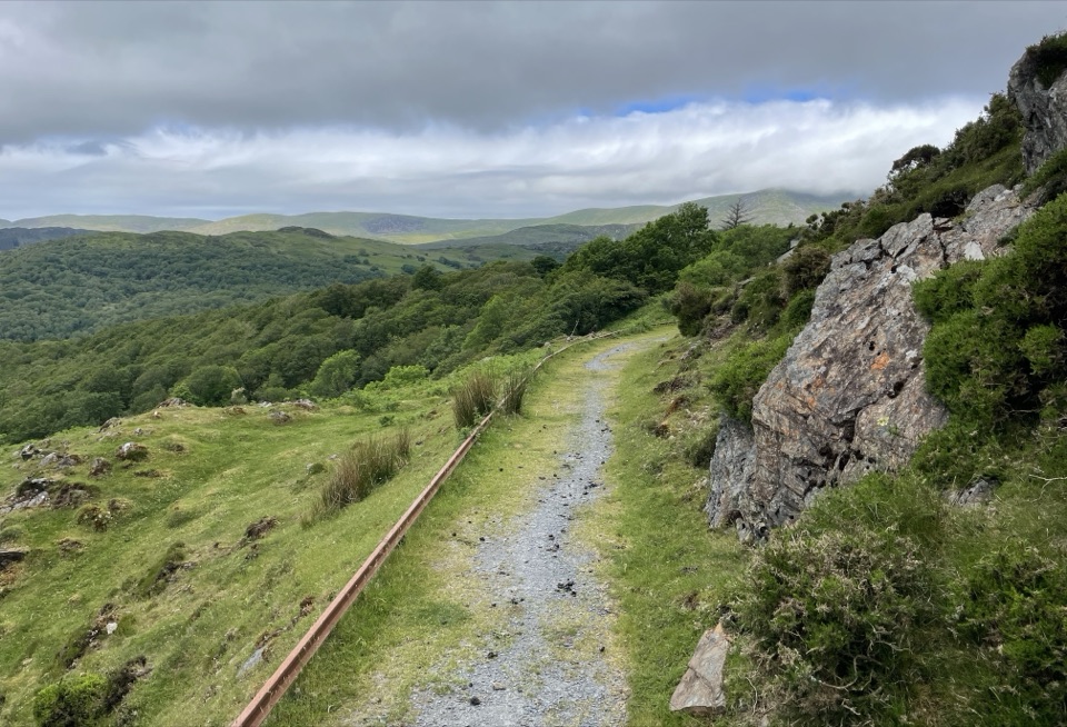
The climb is more gradual than the mountain's southern approach, but it is still a full mountain day. Expect alternating steep pitches and flatter zigzags, stone steps higher up, and upper ground that is very steep, rocky and often loose underfoot. Good fitness and navigation skills are essential, and the final scramble is short but hands-on in places.

Scenery and geologyThe walk opens out quickly.

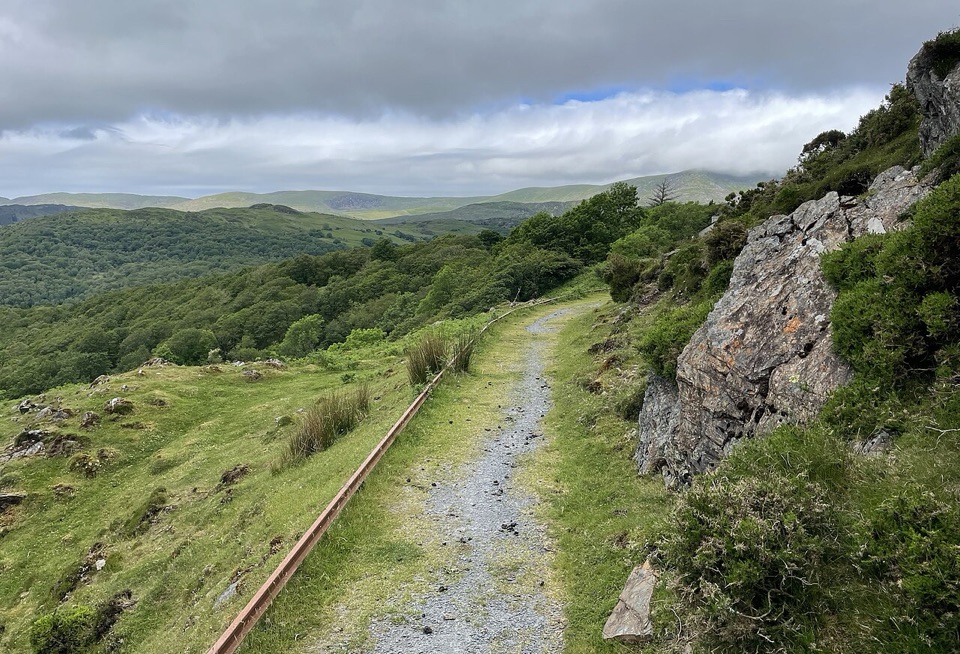
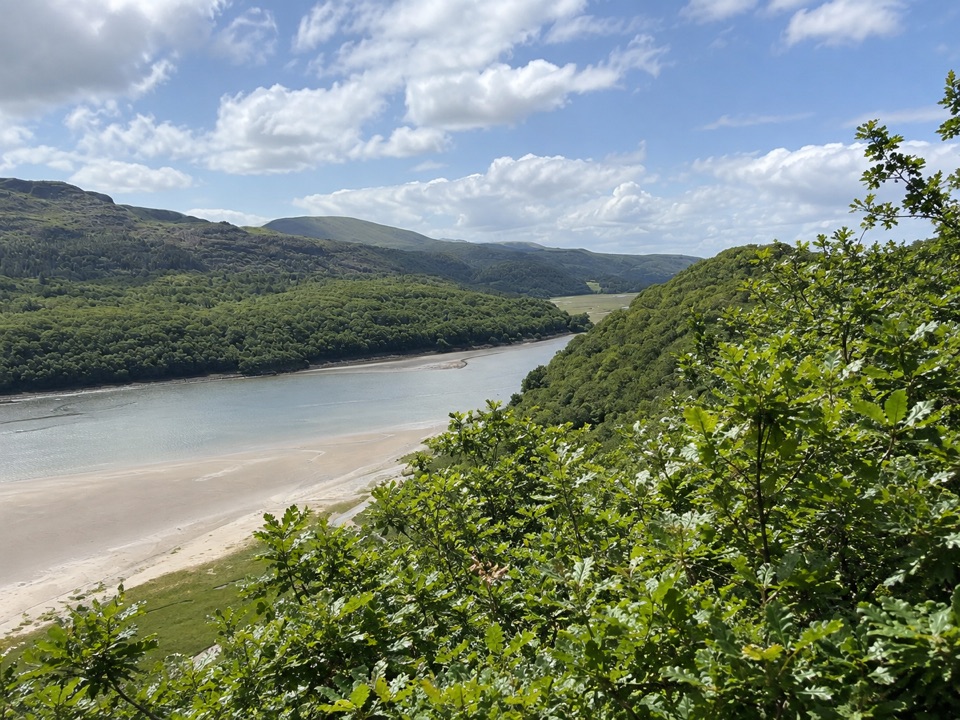
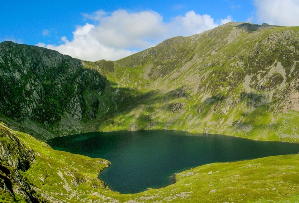
The walk opens out quickly. From the higher slopes you look back over Llyn Gwernan and toward Arenig Fawr, then along the cliff edge above Llyn y Gader, with wide views toward the Mawddach estuary and Abermaw/Barmouth. The rock itself is part of the appeal: Cader Idris has varied geology linked in part to prehistoric volcanic activity, and the pillow lava near the top is a visible piece of that story.

Honest drawbackThe summit section is rocky and can feel exposed, and it is difficult to navigate in poor…

The summit section is rocky and can feel exposed, and it is difficult to navigate in poor visibility. If you are not confident with map and compass on featureless upper ground, this is the part of the route to plan for or turn back from.

Dogs, parking and accessDogs are welcome but should be kept on leads because of livestock and wildlife.
  • Dogs are welcome but should be kept on leads because of livestock and wildlife.
  • Stay on the designated paths throughout.
  • Tŷ Nant is a national park pay-and-display car park with toilets.
  • Park only in designated places and do not block field or residential entrances.
If you want something differentThe Minffordd Path on the south side is steeper and more dramatic for a similar summit.

The Minffordd Path on the south side is steeper and more dramatic for a similar summit. Choose the Pony Path if you prefer a longer, steadier gradient with wide estuary views.

Wildlife

Wildlife in Eryri

All Eryri wildlife maps

Sighting maps show where each species has been reported across Eryri. Wildlife moves, so no sighting is guaranteed.

Keep exploring

Near Pony Path (Tŷ Nant)

See it all on the map

Trails that start nearby

Places near the trailhead

Parkwolf’s Eryri ranking

Top-rated trails in Eryri

All 120 trails
  1. 1Yr Wyddfa Pyg Track and Miners’ Track LoopChallenging · 12.1 km
  2. 2Llanberis PathChallenging · 14.5 km
  3. 3Pyg TrackChallenging · 11 km
  4. 4Miners’ TrackChallenging · 12.9 km
  5. 5Cwm Idwal WalkModerate · 4.8 km
  6. 6Watkin PathChallenging · 12.9 km

Take Parkwolf to Eryri.

The audio tour guide for the drive, plus offline maps, trails, and wildlife heatmaps for when the signal drops.

4.7 from 8,600+ ratings

Download Parkwolf on the App StoreGet Parkwolf on Google Play