Parking
No road access or day-use parking at Martins Bay. Begin at Martins Bay Hut on the Hollyford Track; reach the Martins Bay area on foot from the Hollyford Road end or by arranged boat or air transport. Book huts where required.

Fiordland National Park, SL
Historic Jamestown site on a remote Hollyford Track out-and-back
Overview
The Jamestown Track is a remote out-and-back on the Hollyford Track from Martins Bay Hut to the historic Ōterokonui / Jamestown settlement site along the eastern shore of Lake McKerrow/Whakatipu Waitai. The route is about 6.2 miles/10 km each way, or 12.4 miles/20 km return, and follows low-elevation rainforest and lakeshore terrain to a historic settlement site associated with the failed 1870s community. Expect formed but wet backcountry track, mud, slippery roots, boardwalks, and occasional creek crossings; the route is not a casual short walk despite its modest elevation.
There is no road access or day-use parking at Martins Bay. Start at Martins Bay Hut on the multi-day Hollyford Track, reached on foot from the Hollyford Road end or by arranged transport to the Martins Bay area. Plan a full backcountry day for the return journey and allow extra time for wet conditions. Huts must be booked where required, and you need your own food, rain gear, navigation equipment, and water-treatment supplies.
The broader Hokuri Hut–Martins Bay Hut section is listed by DOC as 13 km and 4–5 hours; this Jamestown side objective turns around before Hokuri Hut at the historic settlement area. The track is low altitude but remote, and creek or river crossings may become hazardous or impassable after heavy rain. Dogs and other pets are not permitted on this route. Native forest birds are common, and seals or Fiordland crested penguins may be seen near Martins Bay’s coast in season.
Map & elevation
Plan your hike

The highest, rockiest slopes around here are a summer buffet for grizzly bears.
Fiordland Tour Guide
Parkwolf is a GPS audio tour guide for Fiordland National Park. As you drive, it chimes in with what’s ahead: hidden gems, upcoming stops, history, geology, and wildlife, right through your car’s speakers.
See the Fiordland audio tour“Fantastic app with many points of information… It’s great to just turn on while you’re driving and it gives you an audio tour of the national Park. We love it!!!!”


Wildlife
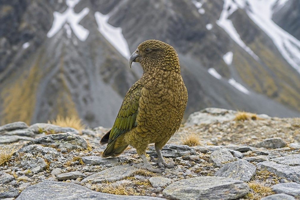 1,181 sightingsKeaMost seen around 10 AMSighting map
 199 sightingsFiordland PenguinMost seen around 7 PMSighting map
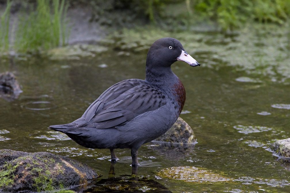 228 sightingsBlue DuckMost seen around 5 PMSighting map
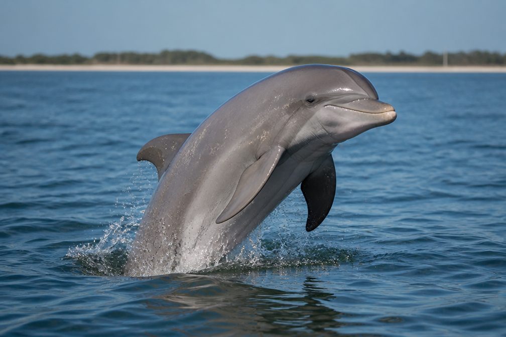 32 sightingsBottlenose DolphinMost seen around 5 PMSighting map
 247 sightingsNew Zealand Fur SealMost seen around 6 PMSighting map
 58 sightingsKākāMost seen around 6 PMSighting map
Sighting maps show where each species has been reported across Fiordland. Wildlife moves, so no sighting is guaranteed.
Keep exploring
 ChallengingBig Bay–Martins Bay Coastal Route16 km · 5 hr · At the trailheadRemote beaches, big rivers, and penguins on a wild coastal edge
 ChallengingPyke–Big Bay Route36 km · 12 hr · 20.6 km awayExpert Fiordland wilderness traverse from Olivine Hut to Big BayChallengingDemon Trail14.5 km · 7.5 hr · 20.9 km awayRemote, rugged Hollyford Track section from McKerrow Island Hut to Hokuri Hut
Parkwolf’s Fiordland ranking

The audio tour guide for the drive, plus offline maps, trails, and wildlife heatmaps for when the signal drops.