Fiordland National Park, SL

Demon Trail

Remote, rugged Hollyford Track section from McKerrow Island Hut to Hokuri Hut

Length
14.5km
Time
7.5hr
Elev. change
102m
Difficulty
Challenging
  • No dogs
  • High point 102 m
Parkwolf audio tour126 stories across Fiordland’s roads

Overview

About Demon Trail

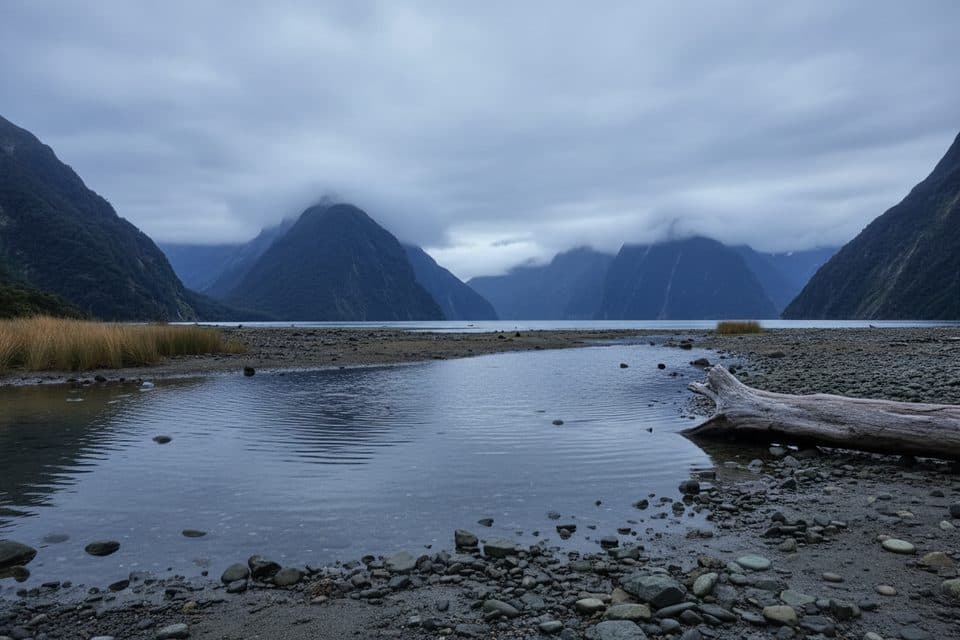
Demon Trail is a remote, rugged point-to-point section of the Hollyford Track from McKerrow Island Hut to Hokuri Hut beside Lake McKerrow / Whakatipu Waitai. The corrected visitor route is about 9.0 miles (14.5 km) one way and normally takes roughly 7–8 hours, including the McKerrow hut access and the 9.6 km Demon Trail Hut–Hokuri Hut section. It is a hut-to-hut route, not a loop or a day-hike circuit.

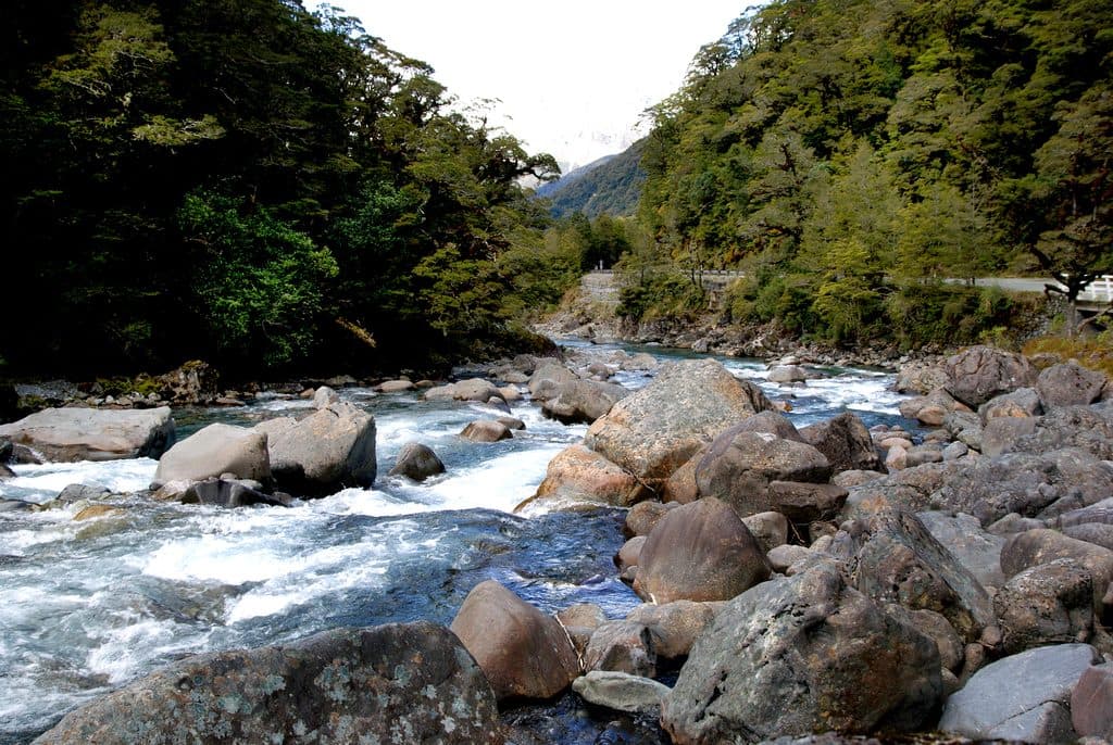
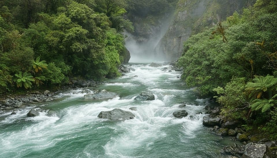
The route follows a historic cattle track through dense Fiordland forest and along the lake, passing Demon Trail Hut before continuing to Hokuri Hut. Expect rocky, muddy, wet, and uneven footing, with long formed sections between rougher stretches. Orange markers guide the way, but this section is maintained to a lower standard than the easier northern parts of the Hollyford Track. The route includes several three-wire bridges and unbridged streams; crossings can become impassable after heavy rain.

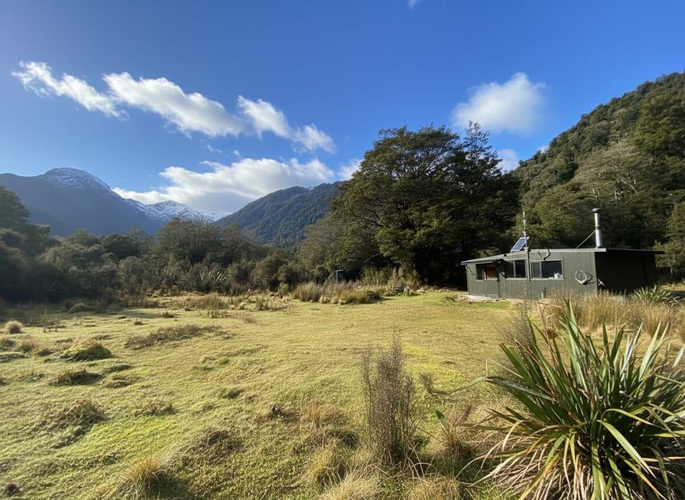
McKerrow Island Hut is reached by a short side track from the main route near the Hollyford River. The hut is near the river mouth and the crossing has no bridge, so high water can strand visitors there until the river falls. Hokuri Hut is the northern endpoint represented here; arrange your onward transport or overnight plan before starting. Both huts require backcountry preparation, and dogs are not permitted on the Hollyford Track.

This is an advanced wilderness tramp for fit, experienced hikers who can navigate through rough terrain and manage changing Fiordland weather. Carry sturdy footwear, waterproof layers, food, navigation equipment, and a distress beacon. Allow extra time for mud, tree fall, slips, and river conditions, and check the current DOC track information before departure.


Why go

  • True Fiordland wilderness with Lake McKerrow views and dense native forest
  • Distinctive three-wire bridges and historic Demon Trail character
  • Connects McKerrow Island Hut, Demon Trail Hut, and Hokuri Hut on one coherent route

Heads up

  • Long, rough, muddy point-to-point route with no road access
  • Unbridged rivers and several three-wire bridges require careful judgement
  • Wayfinding, tree fall, slips, and heavy rain can make progress slow

Map & elevation

The route

Loading the Fiordland map
Full map
Elevation0–102 m
TrailheadMcKerrow Island Hut-44.51795, 168.06358
Keep this map with you offline in the Parkwolf app

Plan your hike

Before you go

Parking

There is no vehicle parking at this remote hut-to-hut endpoint. Begin at McKerrow Island Hut via the Hollyford Track and arrange the required hut, river-crossing, and onward-transport logistics in advance; the McKerrow access crossing has no bridge.

Safety

Advanced backcountry route with rocky, muddy, slippery, and sometimes indistinct track; several three-wire bridges and unbridged streams may be dangerous or impassable after heavy rain. The McKerrow Island Hut access crosses an unbridged river and high water can strand visitors. Carry navigation and emergency gear, allow extra time, and follow DOC markers and safety guidance. Dogs are not permitted.

A park ranger sits on a dash-mounted phone, talking, as Parkwolf’s Tour Guide plays “Army Cutworm Moths: A Grizzly Bear Buffet” on Grand Loop Road below Dunraven Pass in Yellowstone
Parkwolf Tour GuideThe highest, rockiest slopes around here are a summer buffet for grizzly bears.

Fiordland Tour Guide

Your drive to Demon Trail, narrated.

Parkwolf is a GPS audio tour guide for Fiordland National Park. As you drive, it chimes in with what’s ahead: hidden gems, upcoming stops, history, geology, and wildlife, right through your car’s speakers.

See the Fiordland audio tour
  • 126 audio storiesacross Fiordland’s roads, triggered by GPS as you drive
  • Wildlife heatmapsfor Kea, Fiordland Penguin, Blue Duck, and 13 more
  • Works offlinemaps, 68 trails, 124 places, and audio download before you lose signal
  • CarPlay readysimple controls built for the drive
★★★★★
“Fantastic app with many points of information… It’s great to just turn on while you’re driving and it gives you an audio tour of the national Park. We love it!!!!”
JMJamesApp Store review
Download Parkwolf on the App StoreGet Parkwolf on Google Play

4.7 from 8,600+ ratings

Wildlife

Wildlife in Fiordland

All Fiordland wildlife maps

Sighting maps show where each species has been reported across Fiordland. Wildlife moves, so no sighting is guaranteed.

Keep exploring

Near Demon Trail

See it all on the map

Trails that start nearby

Places near the trailhead

Parkwolf’s Fiordland ranking

Top-rated trails in Fiordland

All 68 trails
  1. 1Milford TrackChallenging · 53.4 km
  2. 2Routeburn TrackChallenging · 33 km
  3. 3Kepler TrackChallenging · 60 km
  4. 4Luxmore Summit TrackChallenging · 33.5 km
  5. 5Kepler Track to Mount LuxmoreChallenging · 37 km
  6. 6Sutherland Falls TrackModerate · 4.7 km

Take Parkwolf to Fiordland.

The audio tour guide for the drive, plus offline maps, trails, and wildlife heatmaps for when the signal drops.

4.7 from 8,600+ ratings

Download Parkwolf on the App StoreGet Parkwolf on Google Play