Pros & cons
PROS
- Sweeping coastal views from the ridgeline
- Pairs well with the Freycinet Peninsula Circuit
CONS
- Final push to the true summit is off-track
- Steep, sustained climb with no reliable water on the inland leg
Overview
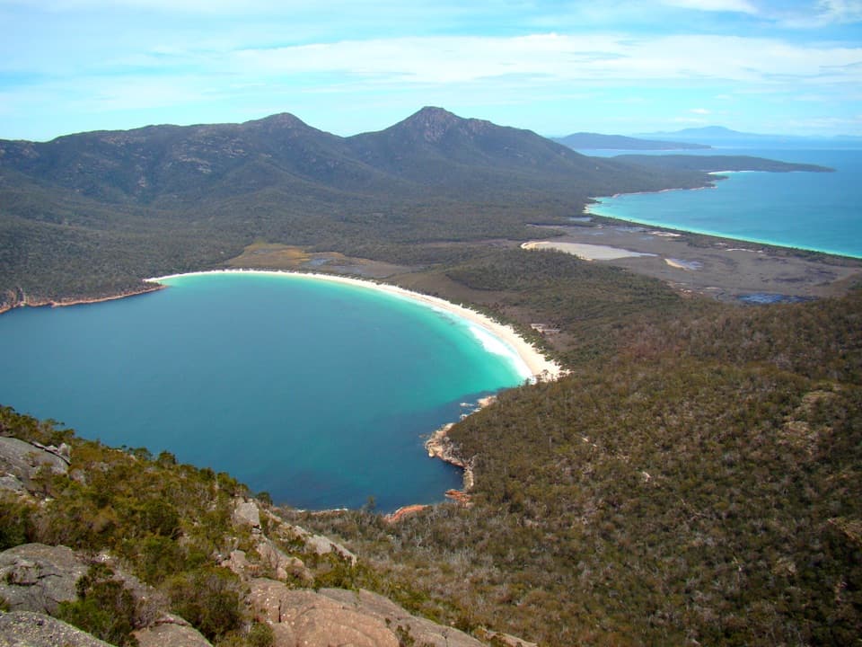
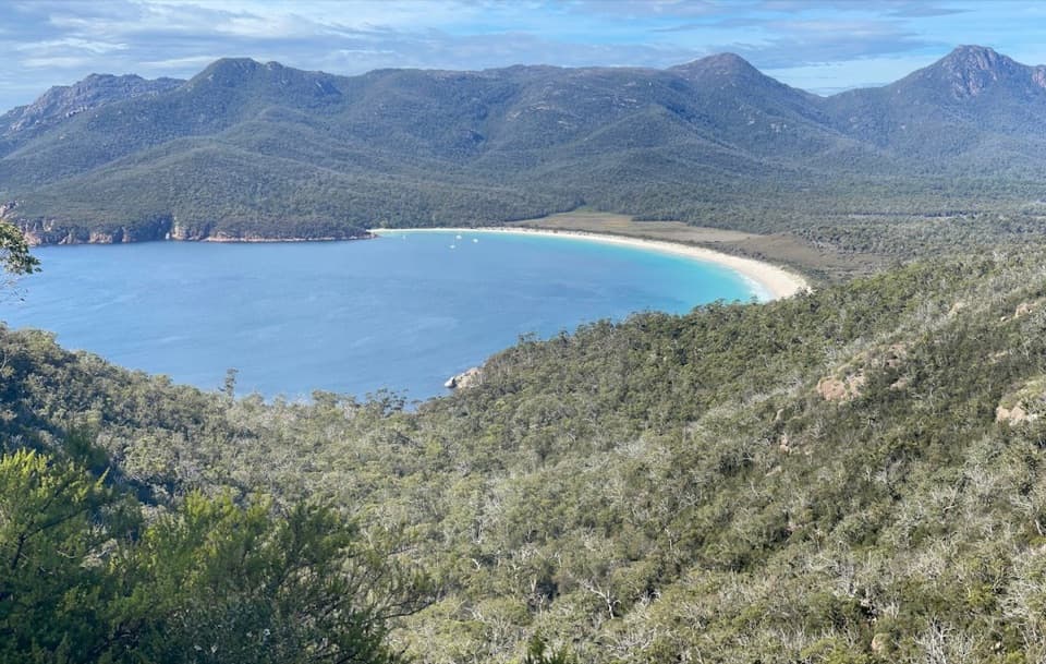
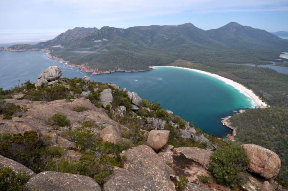
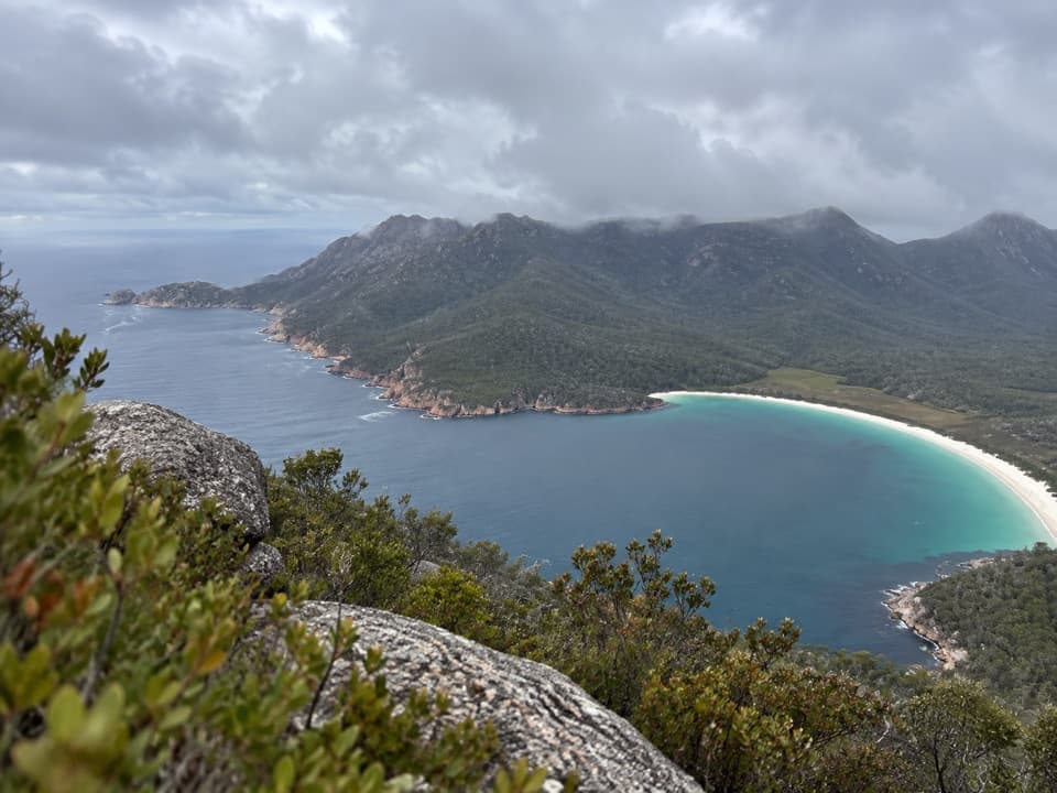
Mount Graham (579 m) is the high point on the inland leg of the Freycinet Peninsula Circuit, rewarding determined hikers with broad, sea-to-summit views over beaches, pink‑granite peaks, and moorland. The main track passes close to the crest; a short off‑track detour is needed to stand on the true summit. Views are big and beautiful, even if they’re not quite as all‑encompassing as neighboring Mount Freycinet.
How to Hike It
Most people tag Mount Graham as part of the 2–3 day, 27 km Freycinet Peninsula Circuit. Walking anti‑clockwise from the Wineglass Bay/Walking Tracks Car Park is the recommended direction to help limit the spread of Phytophthora root rot. A classic itinerary runs: trailhead → Hazards Beach Track (about 7 km/2 hours) → Cooks Beach (about 5 km/1.5 hours) → climb over Mount Graham to the Wineglass Bay campsite (about 11 km/6–8 hours on this leg). Strong parties sometimes tackle a big single‑day loop, and some add Mount Freycinet as a side trip from the high country for a steeper, scramblier bonus summit.
Terrain & Difficulty
Expect a mix: easy coastal paths early, then rougher inland track with rocks/roots, buttongrass moor, and occasionally wet tarn flats near the ridge. The climb to Mount Graham is sustained and challenging; the Mount Freycinet side trip is steeper and has scrambly sections. Wayfinding on signed tracks is straightforward; the Mount Freycinet spur is only roughly marked, so allow extra time if adding it.
Water, Camps & Logistics
Reliable drinking water is scarce. Top up before committing to the inland climb—Cooks Beach may have tank water but treat/boil, and there’s no water tank at the Wineglass Bay campsite. There are toilets at Hazards Beach, Cooks Beach, and Wineglass Bay campsites, but no bins—pack everything out. At the road end, you’ll find toilets and water at the Walking Tracks Car Park, and a filtered/chilled refill station at the Visitor Centre, which is open 9:00–16:00 (May–Nov) and 8:00–17:00 (Dec–Apr). A valid parks pass is required, and drones aren’t permitted.
Wildlife
Keep an eye out for Bennett’s wallabies along tracks and around camps. Shorebirds—including nesting plovers—use the beaches; in the Oct–Mar breeding season, walk near the waterline to avoid fragile nests in the upper sand. Offshore, you may spot migrating whales from the high ridges in season. Wombat sightings along the beaches are reported from time to time.
Best Time to Visit
Start early—especially in summer when the main car park gets busy—and make the most of long daylight if you’re attempting a single‑day loop with a summit. Clear days deliver the farthest views; wind and weather change quickly on the ridge, so pack layers and rain protection.
Pro Tips
- Carry all the water you’ll need from Cooks Beach for the entire inland leg (and any side trip).
- Trekking poles shine on the long sandy stretches and steep granite.
- Clean boots and go anti‑clockwise to help protect the park from root rot.
- If you add Mount Freycinet, budget extra time and energy for steep, rough sections.
- No services once you leave the trailhead—plan food, water, and daylight accordingly.
Where it is
-42.2100, 148.3100Tips for Mount Graham
- 01Start anti‑clockwise from the Wineglass Bay car park to reduce root‑rot spread.
- 02Top up at Cooks Beach and treat all water; there’s no water at Wineglass Bay campsite.
- 03Begin at first light in summer if attempting a big single‑day loop.
- 04Use poles for sandy beaches and the steep inland climb.
- 05Pack out all rubbish—there are no bins on the circuit.
Amenities
Near Mount Graham
All places →All trails →
0.5 mi awayMount FreycinetRemote granite summit on the peninsula’s multi-day circuit
2.3 mi awayCooks BeachRemote west-coast beach and walkers’ camp on the Freycinet CircuitRestroom · Campground
2.3 mi awayWineglass Bay CampingBackcountry beach camp on white sand; no water, big rewardsCampground · Restroom
2.6 mi awayCooks HutHistoric stone hut beside quiet Cooks Beach, best as backup shelterRestroom
4.2 mi awayMount Amos ClimbShort, steep granite scramble to the best Wineglass Bay viewChallenging · 3.1 mi · 4 hr
5.3 mi awayWineglass Bay Lookout TrackTasmania’s classic lookout with big views and a short, stairy climbModerate · 1.6 mi · 1.5 hr
5.3 mi awayCooks Beach TrackQuiet coastal walk to a beachside camp and historic hut.Moderate · 7.5 mi · 4 hr
6.3 mi awayCape Tourville CircuitShort clifftop boardwalk with big views and a lighthouse cameoEasy · 0.4 mi · 18 min