Parking
The access track branches from Cape Tourville Road about 1 km from the Cape Tourville lighthouse car park. Parking at the junction itself has not been confirmed; the 5 km route starts at the junction, not the car park.
Freycinet National Park, TAS
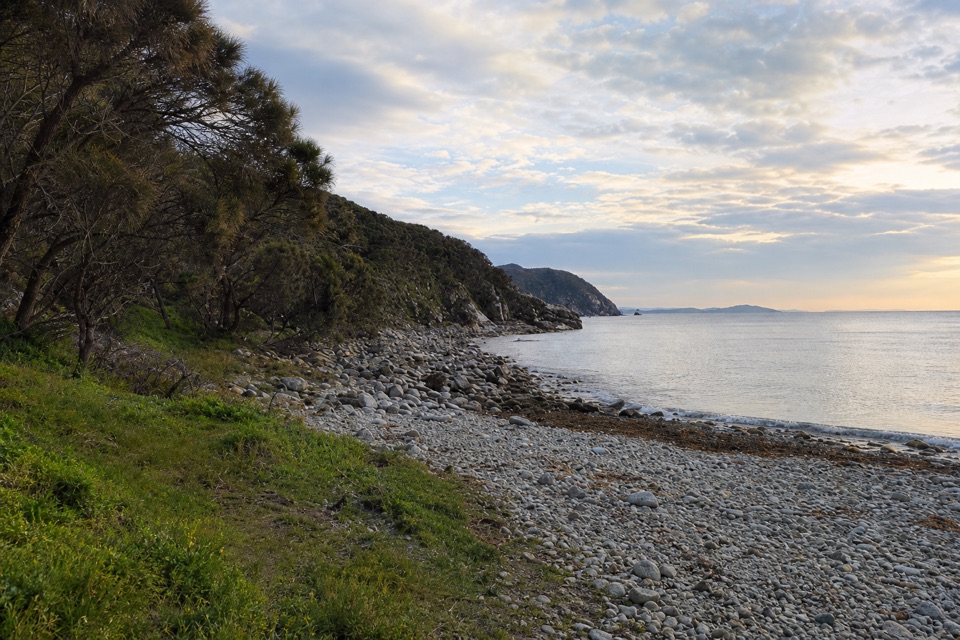
A rough track ends at pink and blue shoreline boulders.
Overview
Map & elevation
Plan your hike

The highest, rockiest slopes around here are a summer buffet for grizzly bears.
Freycinet Tour Guide
Parkwolf is a GPS audio tour guide for Freycinet National Park. As you drive, it chimes in with what’s ahead: hidden gems, upcoming stops, history, geology, and wildlife, right through your car’s speakers.
Recorded for this trailhead
Bluestone Bay Access“You're approaching the access track for Bluestone Bay, where rounded pink and blue boulders cover the shore.”
Plays as you drive up to this trailhead in the Parkwolf Freycinet Tour Guide.
More stories near here in the app
“Fantastic app with many points of information… It’s great to just turn on while you’re driving and it gives you an audio tour of the national Park. We love it!!!!”


Trail guide
Bluestone Bay Walk is a roughly 5 km return walk from a junction on Cape Tourville Road to a rocky bay, following a dusty 4WD access track via White Water Wall campsite. Allow about two hours. The track is vehicle-shared and potholed, so this is a walk for the coast at the end rather than a purpose-built footpath. Rounded pink and blue stones line the shore beneath the cliffs.
The access track leaves the north side of Cape Tourville Road about 1 km from the Cape Tourville lighthouse car park. The short campsite spur doubles back to the through track; rejoin it before following the last stretch down to Bluestone Bay. Retrace the main access track to the road on the way back. The 5 km figure begins at the road junction, not at the lighthouse car park.
The payoff is the contrast between the rounded, ocean-smoothed stones and the rocky headland above the water. Early morning light from the east can catch the cliffs. For a photo, let the shoreline stones lead into the headland and sea rather than filling the frame with water alone.
Parking at the access junction itself has not been confirmed, so check the local setup before leaving a vehicle there. Freycinet requires a valid parks pass, and pets are not allowed in Tasmanian national parks except assistance dogs.
Wildlife
 27 sightingsWombatMost seen around 7 PMSighting map
 35 sightingsEchidnaMost seen around 6 PMSighting map
 358 sightingsRed-necked WallabyMost seen around 6 PMSighting map
 17 sightingsPademelonMost seen around 7 PMSighting map
 27 sightingsWhite-bellied Sea-EagleMost seen around 5 PMSighting map
 50 sightingsKookaburraMost seen around 7 AMSighting map
Sighting maps show where each species has been reported across Freycinet. Wildlife moves, so no sighting is guaranteed.
Keep exploring
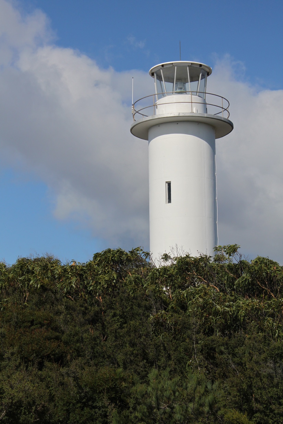 EasyCape Tourville Circuit0.6 km · 20 min · 0.4 km awayEasy lighthouse loop with wide views of the Nuggets and Tasman Sea.
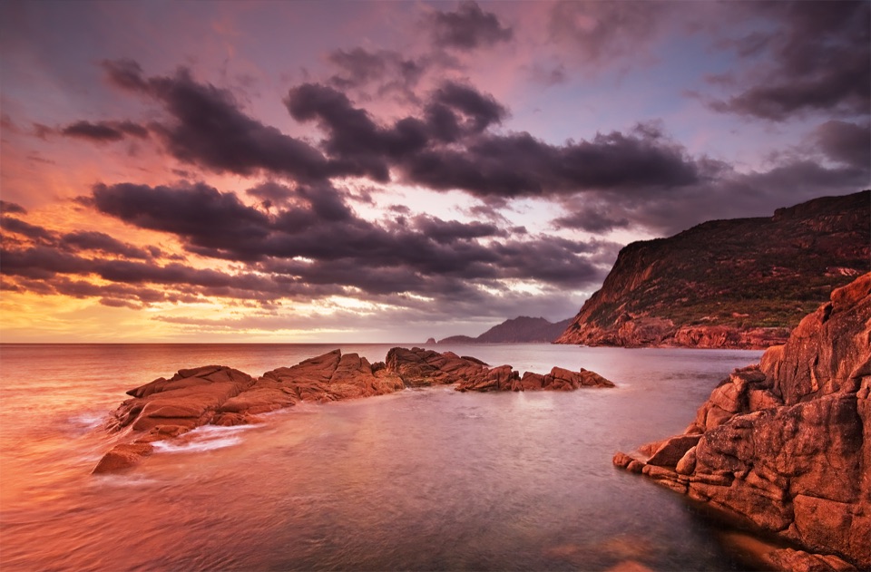 EasySleepy Bay and Little Gravelly Beach Track1 km · 30 min · 2.2 km awayA quick coastal walk pairs orange lichen with a pebble cove.
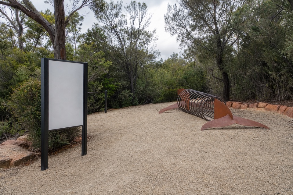 EasyFreycinet Walk and Cycle Track4 km · 1 hr · 3.2 km awayA gentle 4 km link with views of the lower Hazards.
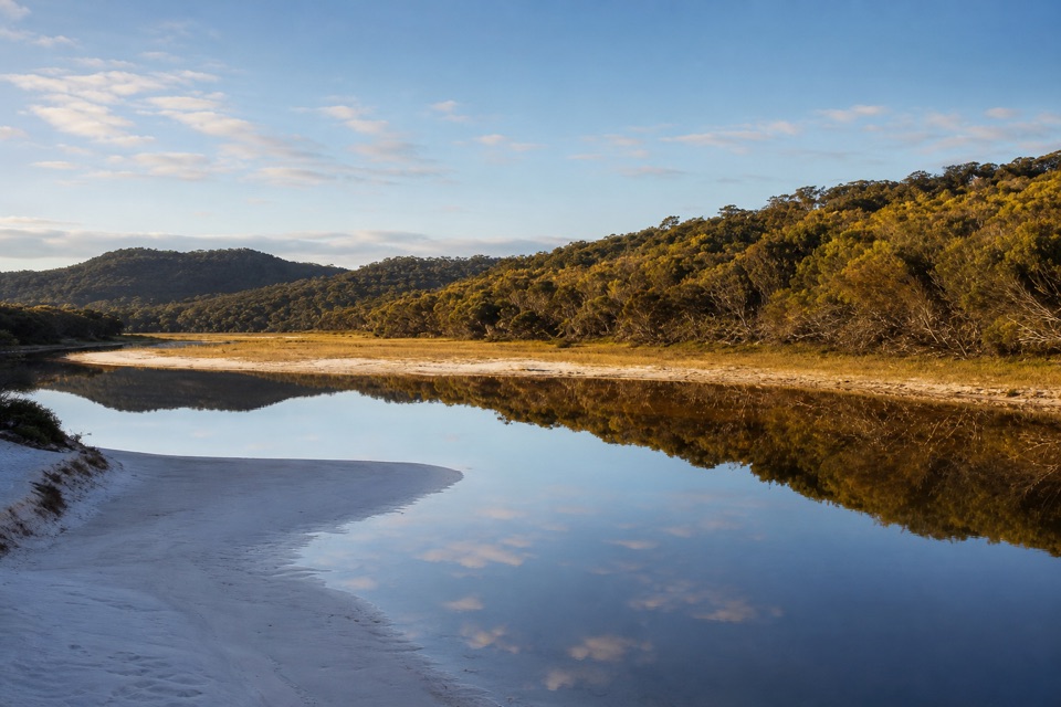 ChallengingFreshwater Lagoon via Coles Bay19.8 km · 5.8 hr · 3.4 km awayA long coastal walk to a lagoon, with a rough tinfield spur.
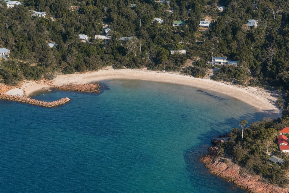 ModerateHoneymoon Bay to Parsons Cove6.1 km · 1.8 hr · 3.7 km awayA 3.8-mile return walk from Honeymoon Bay to Parsons Cove.
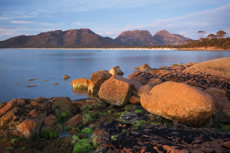 ChallengingFreycinet Peninsula Circuit28.2 km · 12 hr · 4.9 km awayA multi-day coastal loop with an inland climb.
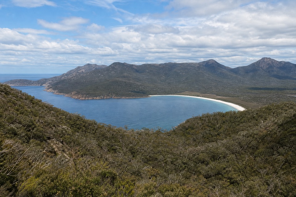 ChallengingMount Graham Summit20.4 km · 9 hr · 4.9 km awayA long climb from the bay earns views north and south.
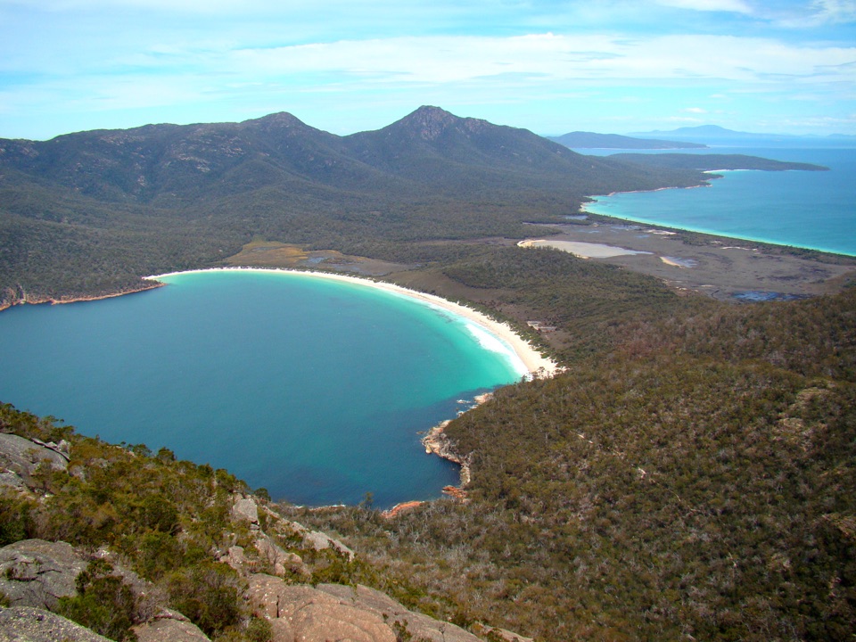 ChallengingMount Amos Track4 km · 3.5 hr · 4.9 km awayA steep granite scramble with a Wineglass Bay payoff.
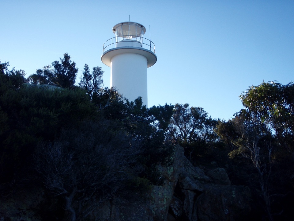 Sight · 0.5 km awayCape Tourville Lighthouse and LookoutA short boardwalk loop opens onto Wineglass Bay and the Hazards.
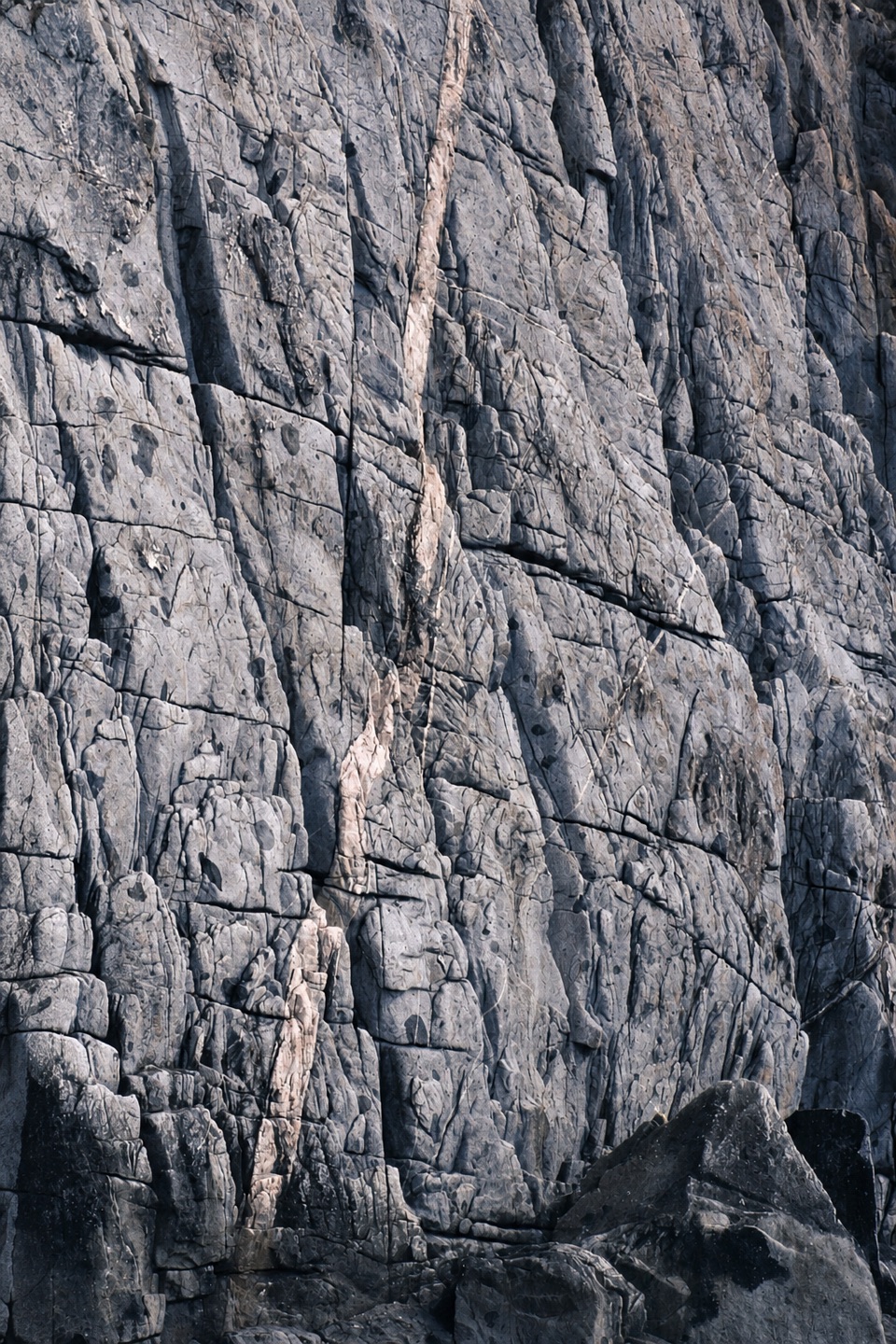 Campground · 1.7 km awayWhite Water WallA shaded bush camp beside Freycinet’s granite climbing wall.
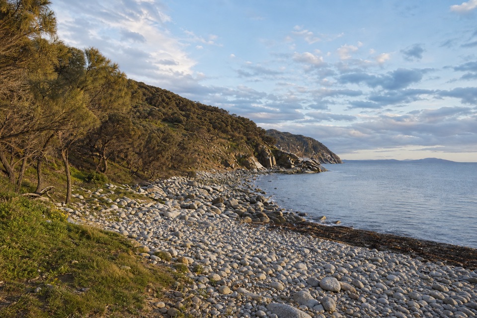 Beach · 1.7 km awayBluestone BayRounded boulders bring a wilder edge to the shoreline.Beach · 2.2 km awaySleepy BayOrange lichen against turquoise water makes the steep little walk pay off.
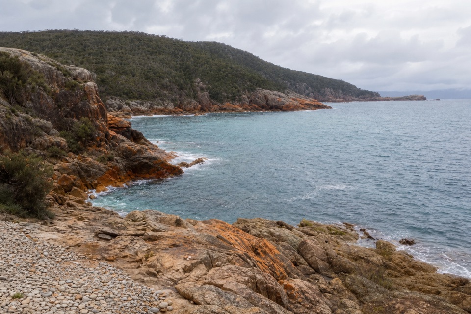 Beach · 2.4 km awayLittle Gravelly BeachA pocket cove of smooth granite pebbles beyond Sleepy Bay.
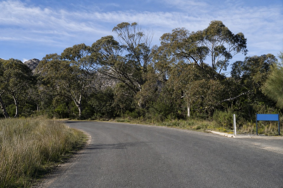 Picnic area · 3.3 km awayRanger Creek Day Use AreaA sheltered picnic stop with BBQs near the park entrance.
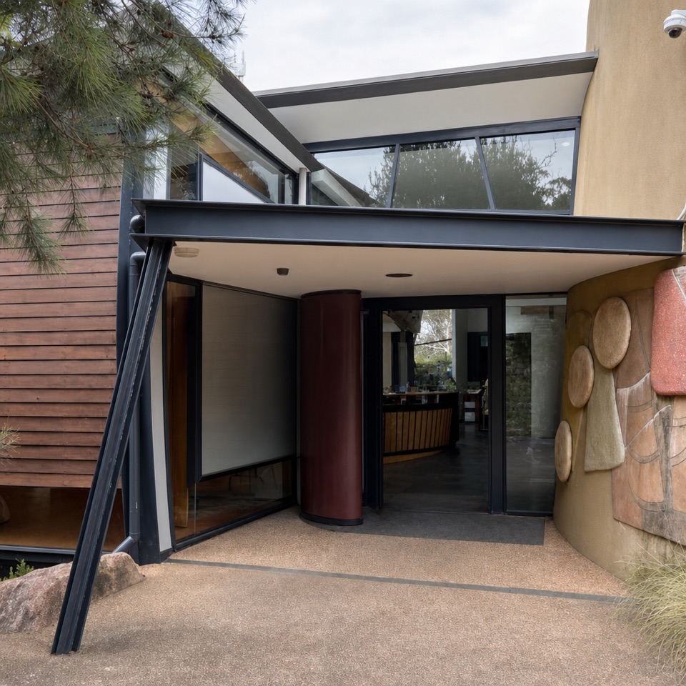 Visitor center · 3.3 km awayFreycinet National Park Visitor CentreA practical first stop for maps, pass help and walking ideas.
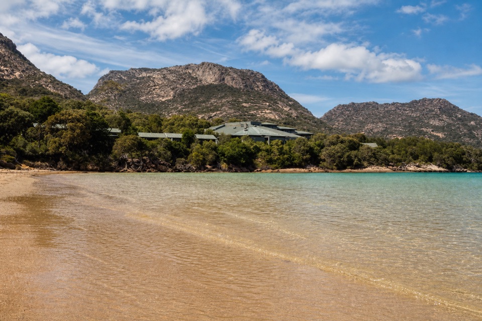 Lodging · 3.4 km awayFreycinet LodgeStay inside the park, with three dining options on site.
Parkwolf’s Freycinet ranking

The audio tour guide for the drive, plus offline maps, trails, and wildlife heatmaps for when the signal drops.