Pros & cons
PROS
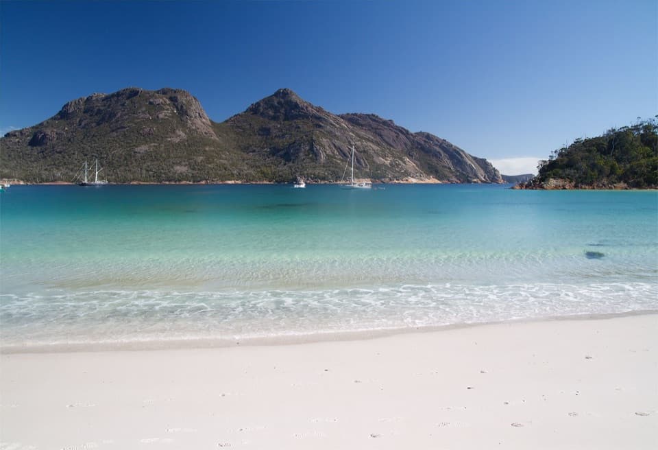
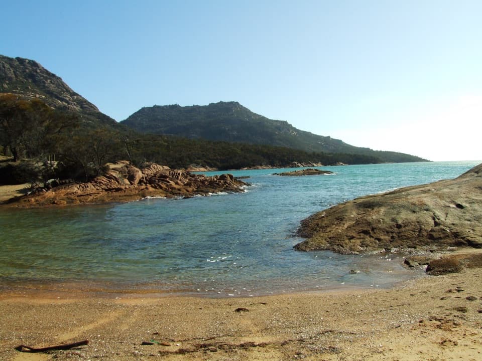
- Secluded, photogenic bay with granite cliffs and vivid blue water
- Straightforward 5.3 km out-and-back walk from Cape Tourville
CONS
- No toilets, water, or bins on-site
- 4WD recommended if driving; track signage can be sparse
Overview
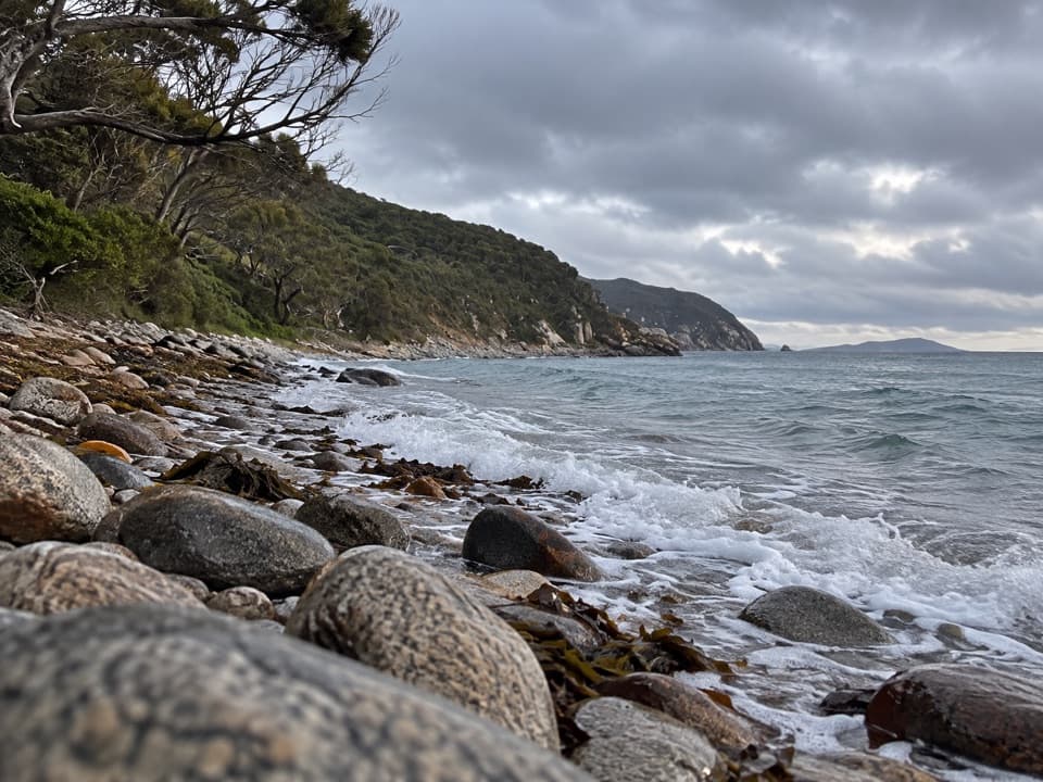
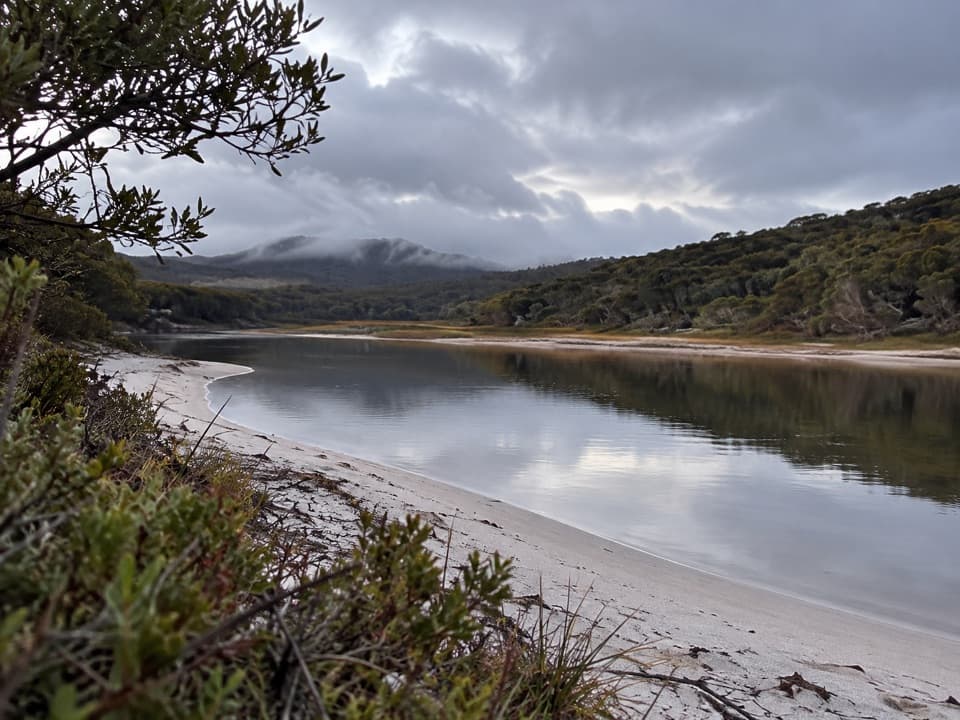
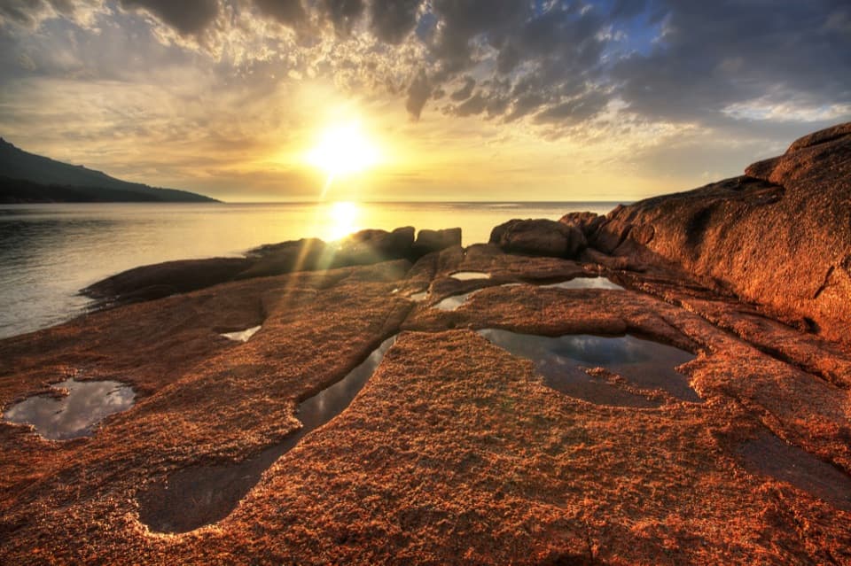
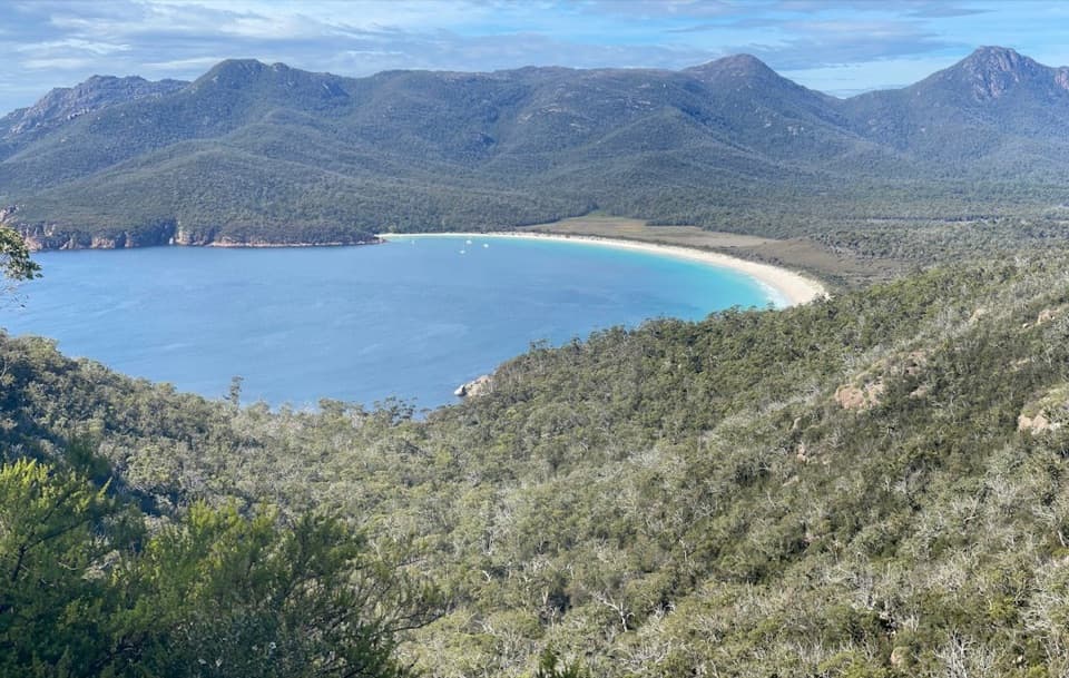
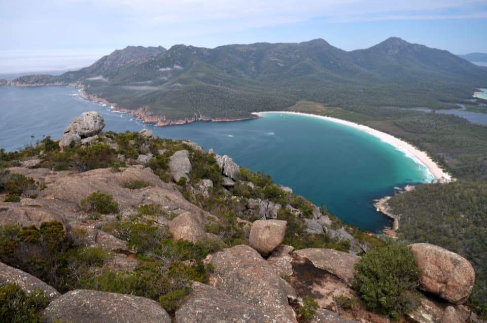
Bluestone Bay is the quiet corner of the peninsula—clear blue water, pink‑tinged granite, and the dramatic Whitewater Wall cliffs just around the headland. It’s the kind of place you come for the mood and leave with a memory card full of color.
Getting There
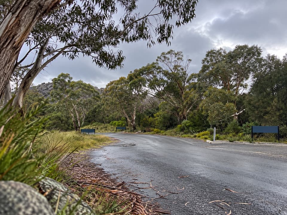
Most visitors walk in from the Cape Tourville car park along a 4WD track: about 5.3 km out and back with roughly 161 m of total elevation, usually 1.5–2 hours. Navigation is simple but not perfectly signed, so download an offline map. Confident drivers with a high‑clearance 4x4 can take the track toward Whitewater Wall; otherwise, the walk is the smarter choice. A valid parks pass is required.
What You'll See
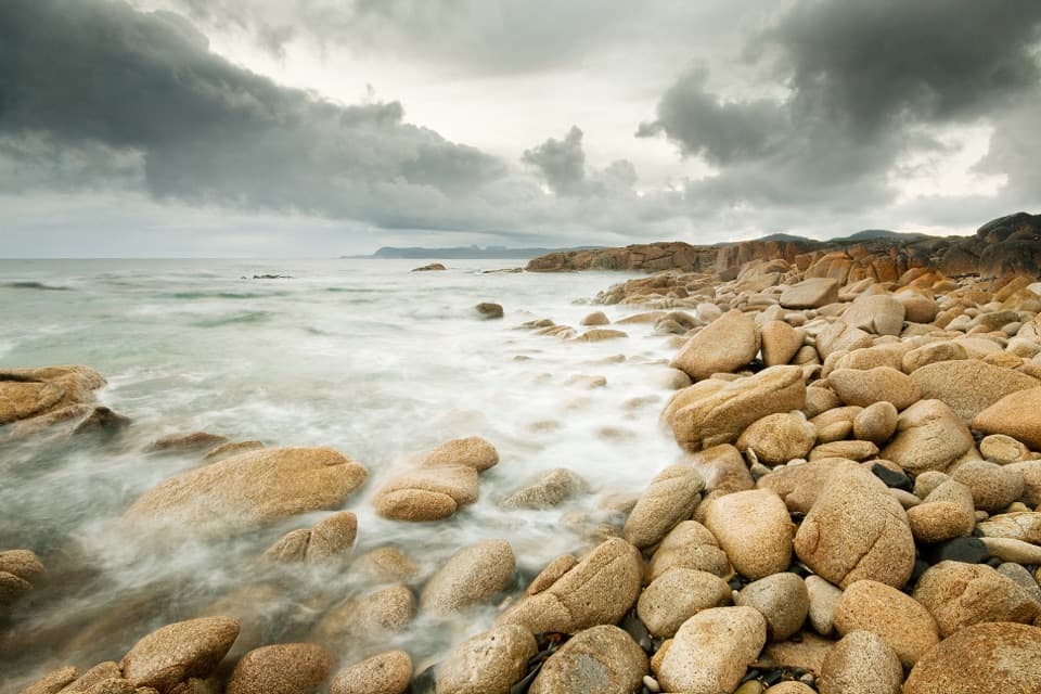
Expect luminous water against weathered granite, with expansive cliff‑top vistas if you continue toward Whitewater Wall. The peninsula’s Devonian granite—rich in pink orthoclase feldspar—gives those signature red‑pink hues that pop in soft light.
Wildlife
Keep an eye offshore for passing whales during migration and the occasional pod of dolphins. On land, Bennett’s wallabies and echidnas are possible along the track, and you might spot a white‑bellied sea eagle overhead. Warmer months mean snakes—stay alert and give them space.
Facilities and Essentials
There are no dedicated facilities at Bluestone Bay. Toilets are available near Whitewater Wall campground (not on the beach). Across the park, you’ll find toilets at Honeymoon Bay, Ranger Creek, and the Walking Tracks car park. Drinking water is scarce—refill at the visitor centre’s filtered station or taps at Honeymoon Bay and the Wineglass Bay Walking Tracks car park, and pack out all rubbish.
Safety Notes
Footing can be rocky or gravelly—wear sturdy shoes. Beaches are unpatrolled and cliffs can be hazardous; supervise kids and keep well back from edges. Mobile reception can be patchy. If you’re hiking, avoid going solo when possible and let someone know your plans.
Best Time to Visit
Sunrise is the sweet spot here—the low angle light fires up the pink granite and the bay is usually at its calmest. Start early for cooler temps and fewer people. If you plan to paddle, pick a settled day and launch from the beach when conditions are suitable.
Nice Add‑Ons
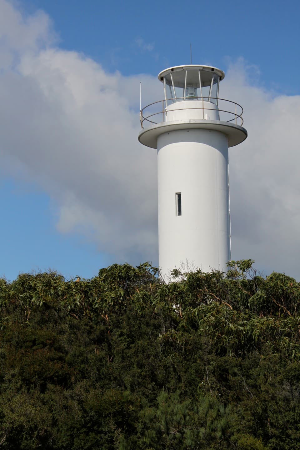
Pair Bluestone Bay with quick hits nearby: the Cape Tourville Lighthouse circuit for clifftop viewpoints and Sleepy Bay for another short, scenic coastal stroll.
Where it is
-42.1000, 148.3300Tips for Bluestone Bay
- 01Download an offline map—signage on the 4WD track is limited.
- 02Bring all the water you need; there’s none at the bay.
- 03If you don’t have a 4x4, walk in from Cape Tourville for a stress‑free visit.
- 04Aim for sunrise for the best light on the granite and the fewest people.
- 05Watch for wildlife and snakes along the track, especially in warmer months.
Near Bluestone Bay
All places →All trails →
1.7 mi awayCape Tourville LookoutClifftop boardwalk with sweeping ocean views and wildlifeParking · Scenic Viewpoint
1.7 mi awayCape Tourville CircuitShort clifftop boardwalk with big views and a lighthouse cameoEasy · 0.4 mi · 18 min
1.9 mi awayThe NuggetsGranite islets teeming with seabirds, seen from Cape TourvilleScenic Viewpoint
2.4 mi awayWineglass Bay Lookout TrackTasmania’s classic lookout with big views and a short, stairy climbModerate · 1.6 mi · 1.5 hr
2.4 mi awayCooks Beach TrackQuiet coastal walk to a beachside camp and historic hut.Moderate · 7.5 mi · 4 hr
2.4 mi awayFreycinet National Park Visitor CentreFirst stop for passes, water refills, maps and local tipsVisitor Center · Exhibit
2.4 mi awayRanger Creek CampgroundBushy, tent-only sites by the beach with basic comfortsCampground · Restroom
3.8 mi awayMount Amos ClimbShort, steep granite scramble to the best Wineglass Bay viewChallenging · 3.1 mi · 4 hr