Freycinet Walk and Cycle Track in Freycinet National Park

Freycinet National Park, TAS

Freycinet Walk and Cycle Track

A gentle 4 km link with views of the lower Hazards.

Length
4km
Time
1hr
Elev. change
44m
Difficulty
Easy
  • No dogs
  • High point 47 m

Hear the audio tour

Visitor Centre, Ranger Creek and Richardsons Beach

Overview

About Freycinet Walk and Cycle Track

Why go

  • A gentle Grade 2 path with views of the lower Hazards.
  • A practical walking link to Freycinet’s main trail starts.

Heads up

  • One-way logistics, several road crossings and two-way bike traffic.

Map & elevation

The route

Loading the Freycinet map
Full map
Elevation3–47 m
TrailheadFreycinet Visitor Centre / Ranger Creek access-42.12608, 148.29905
Keep this map with you offline in the Parkwolf app

Plan your hike

Before you go

Parking

The route starts at Freycinet Visitor Centre/Ranger Creek and finishes near the walking-track starts at Walking Tracks Car Park. For a one-way walk, arrange a pickup or allow an hour to return on foot; parking capacity and fees were not confirmed.


Safety

The two-way path is shared with bicycles (cyclists must yield to walkers) and crosses park roads; stop and give way to traffic. A valid parks pass is required for entry. Ordinary pets are not allowed; assistance dogs are permitted.

A park ranger sits on a dash-mounted phone, talking, as Parkwolf’s Tour Guide plays “Army Cutworm Moths: A Grizzly Bear Buffet” on Grand Loop Road below Dunraven Pass in Yellowstone
Parkwolf Tour GuideThe highest, rockiest slopes around here are a summer buffet for grizzly bears.

Freycinet Tour Guide

Your drive to Freycinet Walk and Cycle Track, narrated.

Parkwolf is a GPS audio tour guide for Freycinet National Park. As you drive, it chimes in with what’s ahead: hidden gems, upcoming stops, history, geology, and wildlife, right through your car’s speakers.

Recorded for this trailhead

Visitor Centre, Ranger Creek and Richardsons Beach
0:00 / 0:31
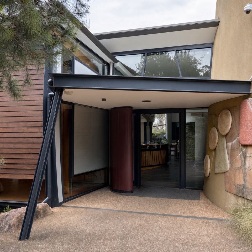
“You're coming up on the visitor centre and Ranger Creek area, beside Richardsons Beach.”

Plays as you drive up to this trailhead in the Parkwolf Freycinet Tour Guide.

More stories near here in the app

  • Freycinet Lodge Dining
  • Coles Bay’s Shopping-Bag Experiment
  • Honeymoon Bay
  • Sleepy Bay and Little Gravelly Beach
  • 24 audio storiesacross Freycinet’s roads, triggered by GPS as you drive
  • Wildlife heatmapsfor Wombat, Echidna, Red-necked Wallaby, and 13 more
  • Works offlinemaps, 21 trails, 29 places, and audio download before you lose signal
  • CarPlay readysimple controls built for the drive
★★★★★
“Fantastic app with many points of information… It’s great to just turn on while you’re driving and it gives you an audio tour of the national Park. We love it!!!!”
JMJamesApp Store review
Download Parkwolf on the App StoreGet Parkwolf on Google Play

4.7 from 8,600+ ratings

Trail guide

Hiking Freycinet Walk and Cycle Track

A gentle link into FreycinetFreycinet Walk and Cycle Track is a 4 km one-way shared path between the Freycinet Visitor…

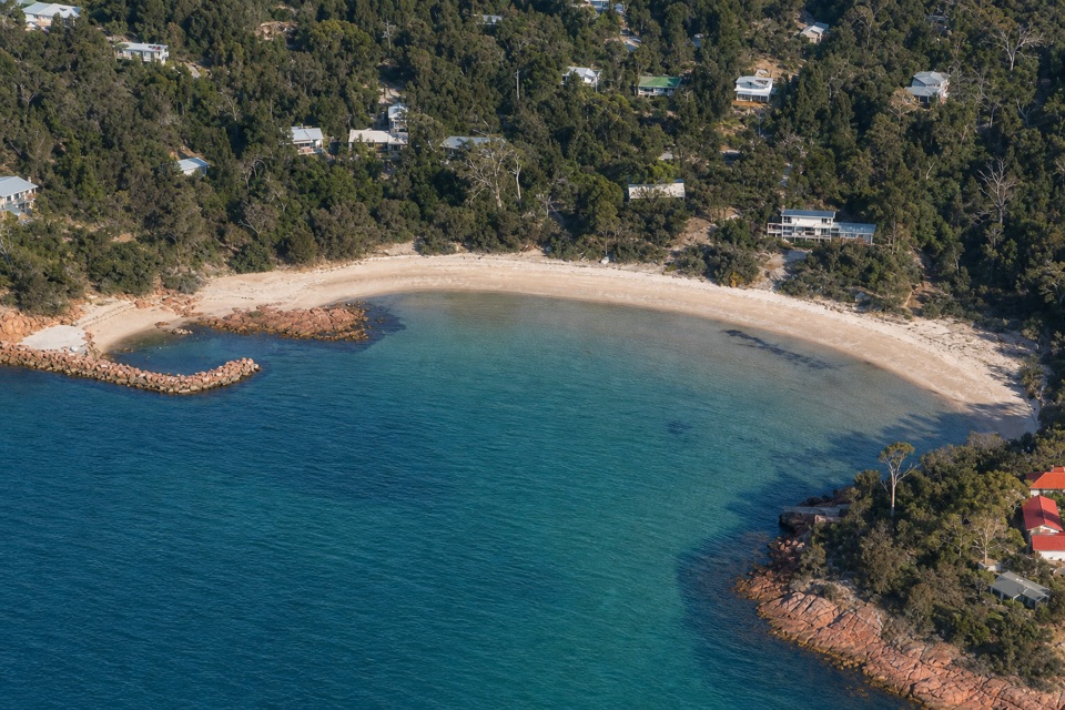
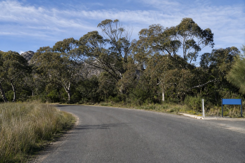
Freycinet Walk and Cycle Track is a 4 km one-way shared path between the Freycinet Visitor Centre at Ranger Creek and the start of the Wineglass Bay and Freycinet Peninsula walks, near Walking Tracks Car Park. It’s an easy Grade 2 route through coastal heath and woodland; allow about one hour one way. It’s a practical way to reach the park’s main walks on foot.

A different look at the HazardsThe path winds through coastal heath and woodland, with views of the lower slopes of Mount…

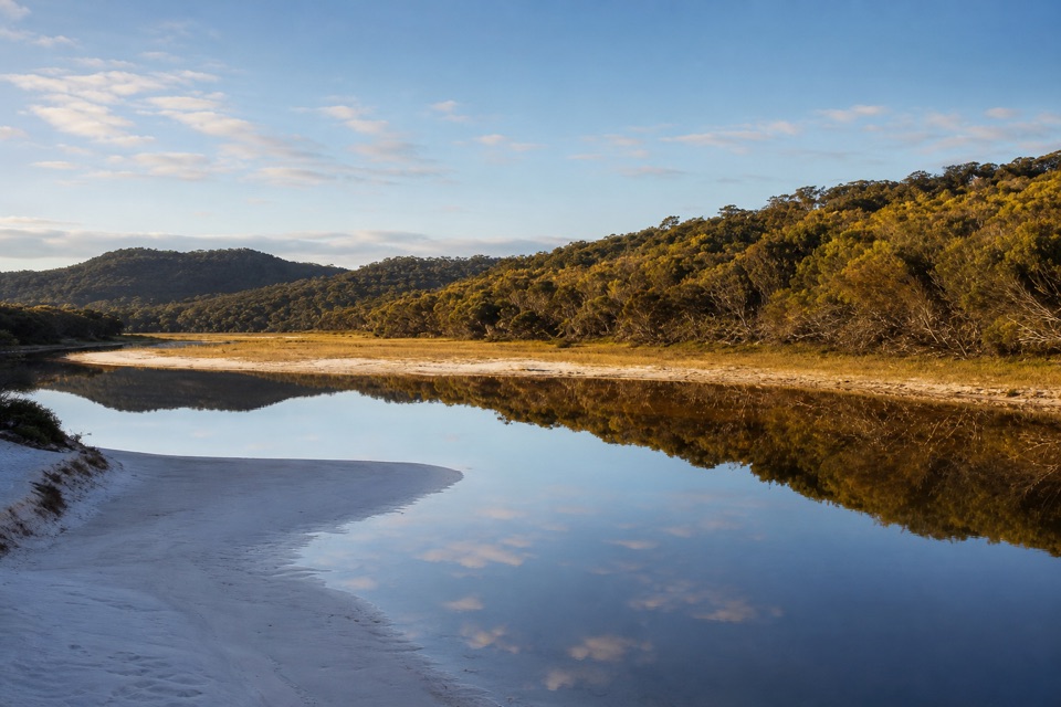
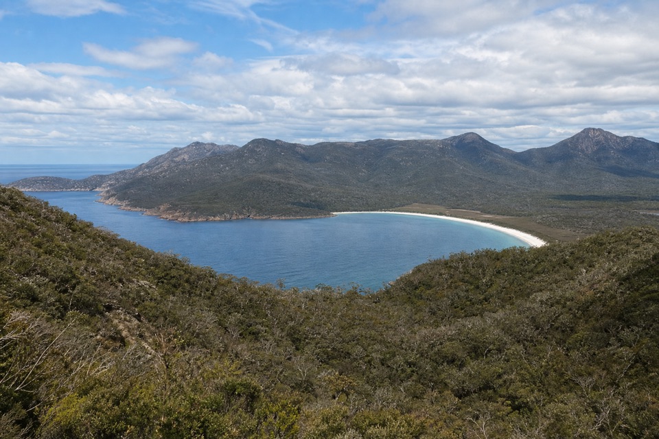
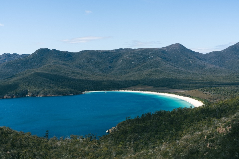
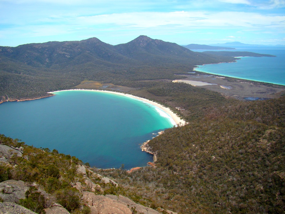
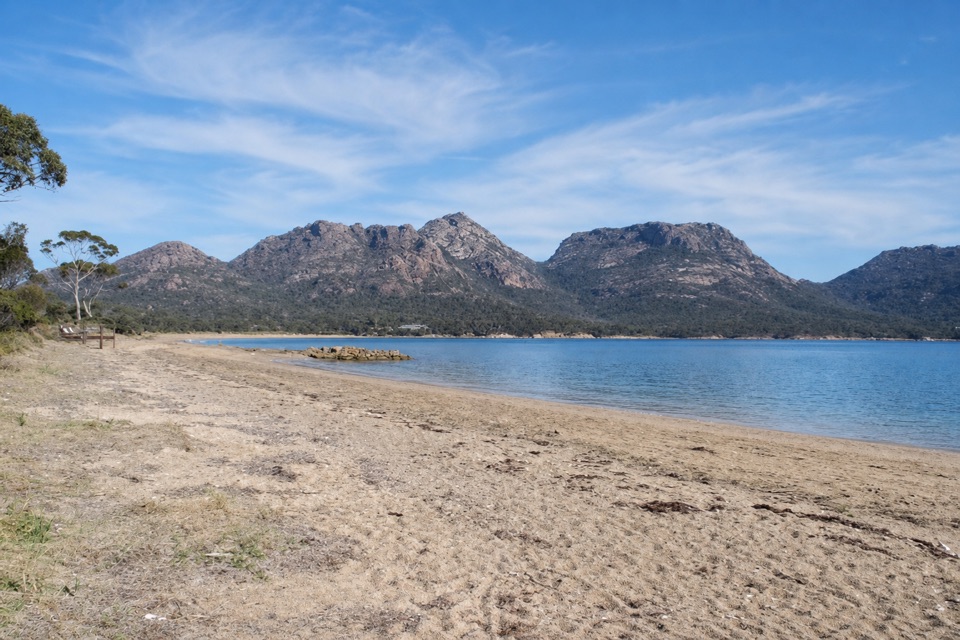
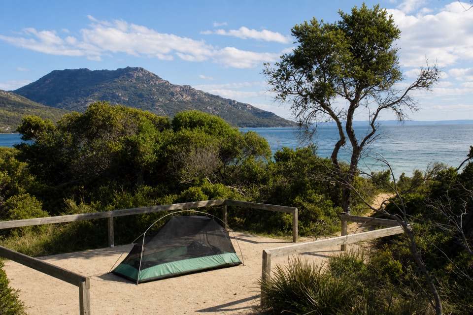
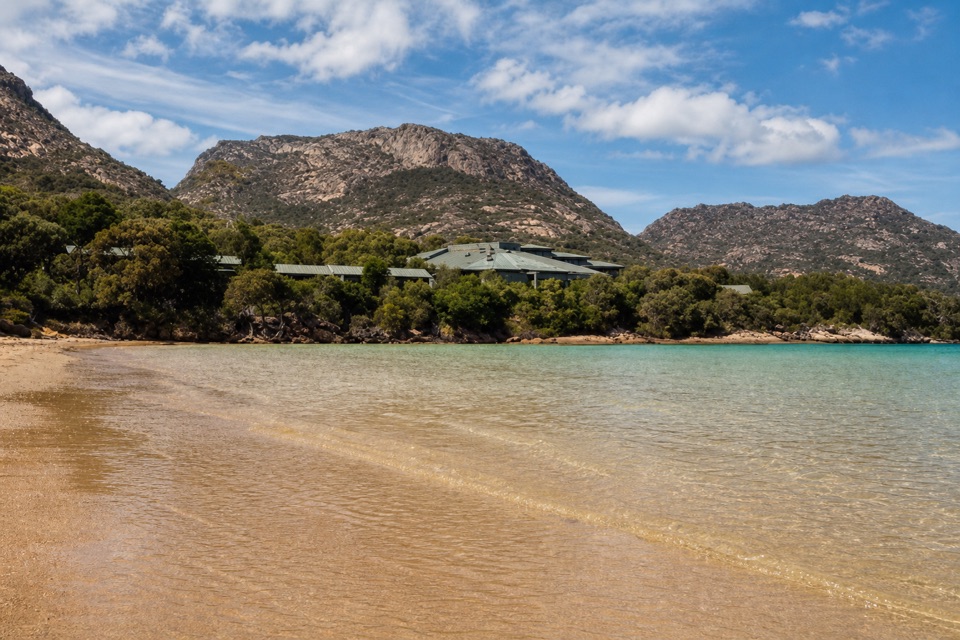
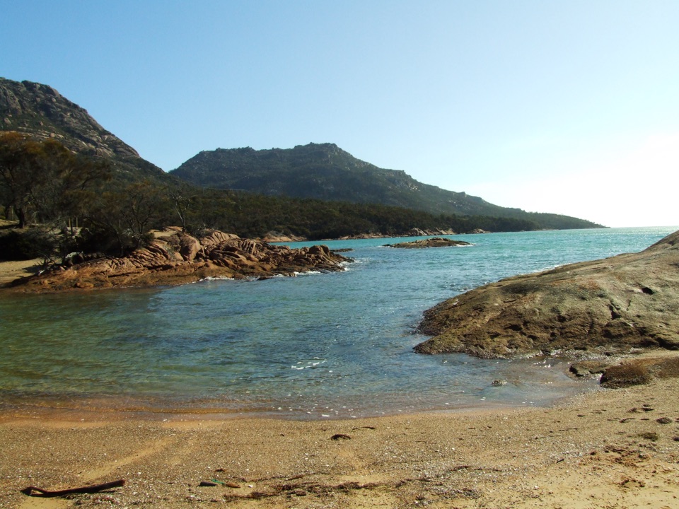
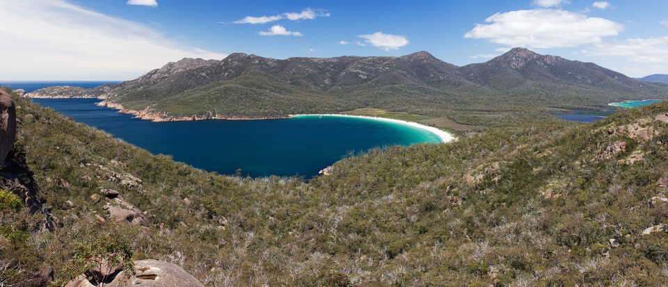
The path winds through coastal heath and woodland, with views of the lower slopes of Mount Baudin, Mount Dove and Mount Amos. Together they make up the boulder-studded Hazards range, and these are views you miss if you travel by road.

Share the path and watch for crossingsThis two-way, low-speed route is shared by walkers and cyclists; cyclists must give way to…

This two-way, low-speed route is shared by walkers and cyclists; cyclists must give way to people on foot. It’s the only walking track in the park where bikes are permitted. There are park-road crossings, so stop and give way to vehicles.

Make the one-way route workStart at the Freycinet Visitor Centre/Ranger Creek access and finish near the main trailheads…

Start at the Freycinet Visitor Centre/Ranger Creek access and finish near the main trailheads at Walking Tracks Car Park. Arrange a ride between the ends or allow another hour to walk back the same way. A valid Tasmania parks pass is required for entry. Pets aren’t allowed in the park, except assistance dogs. Toilets are listed at the Visitor Centre and near the Walking Tracks Car Park.

Wildlife

Wildlife in Freycinet

All Freycinet wildlife maps

Sighting maps show where each species has been reported across Freycinet. Wildlife moves, so no sighting is guaranteed.

Keep exploring

Near Freycinet Walk and Cycle Track

See it all on the map

Trails that start nearby

Places near the trailhead

Parkwolf’s Freycinet ranking

Top-rated trails in Freycinet

All 21 trails
  1. 1Wineglass Bay Lookout TrackModerate · 2.9 km
  2. 2Wineglass Bay and Hazards Beach CircuitChallenging · 11.4 km
  3. 3Wineglass Bay TrackModerate · 5.4 km
  4. 4Cape Tourville CircuitEasy · 0.6 km
  5. 5Mount Amos TrackChallenging · 4 km
  6. 6Freycinet Peninsula CircuitChallenging · 28.2 km

Take Parkwolf to Freycinet.

The audio tour guide for the drive, plus offline maps, trails, and wildlife heatmaps for when the signal drops.

4.7 from 8,600+ ratings

Download Parkwolf on the App StoreGet Parkwolf on Google Play