Overview
About Ranger Creek Day Use Area
Why stop
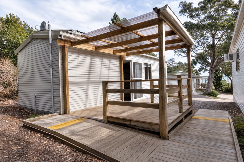
- Sheltered tables, BBQs and an accessible toilet make for a useful break.
Map
Where it is

The highest, rockiest slopes around here are a summer buffet for grizzly bears.
Freycinet Tour Guide
Your drive to Ranger Creek Day Use Area, narrated.
Parkwolf is a GPS audio tour guide for Freycinet National Park. As you drive, it chimes in with what’s ahead: hidden gems, upcoming stops, history, geology, and wildlife, right through your car’s speakers.
Recorded for this place
Visitor Centre, Ranger Creek and Richardsons Beach“You're coming up on the visitor centre and Ranger Creek area, beside Richardsons Beach.”
Plays as you drive up to Ranger Creek Day Use Area in the Parkwolf Freycinet Tour Guide.
More stories near here in the app
- Freycinet Lodge Dining
- Coles Bay’s Shopping-Bag Experiment
- Honeymoon Bay
- Sleepy Bay and Little Gravelly Beach
- 24 audio storiesacross Freycinet’s roads, triggered by GPS as you drive
- Wildlife heatmapsfor Wombat, Echidna, Red-necked Wallaby, and 13 more
- Works offlinemaps, 21 trails, 29 places, and audio download before you lose signal
- CarPlay readysimple controls built for the drive
“Fantastic app with many points of information… It’s great to just turn on while you’re driving and it gives you an audio tour of the national Park. We love it!!!!”


Guide
More about Ranger Creek Day Use Area
A handy picnic stopRanger Creek Day Use Area is a roadside picnic area beside the car park near the Freycinet…
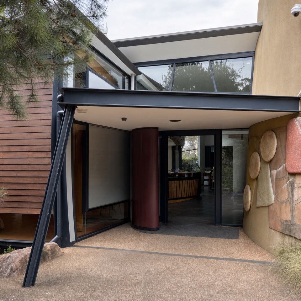
Ranger Creek Day Use Area is a roadside picnic area beside the car park near the Freycinet Visitor Centre. I’d use it for a proper meal break before or after exploring the park: sheltered tables and BBQs make this more useful than an ordinary pull-off, but it’s a facilities stop rather than a walk or viewpoint.
Tables, BBQs and a cold showerPicnic tables sit under shelter, with BBQs on site.
Picnic tables sit under shelter, with BBQs on site. Beside the car park, the block has an accessible toilet and a cold-water shower. The shower is for a quick rinse, not a warm-up.
Before you head inRanger Creek is in the entrance and visitor-centre area, so it’s easy to fit into a Freycinet…
Ranger Creek is in the entrance and visitor-centre area, so it’s easy to fit into a Freycinet day. A Tasmania parks pass is required for entry. A drinking-water point at this day-use area wasn’t confirmed, so don’t count on a refill here.
Wildlife
Wildlife in Freycinet
 27 sightingsWombatMost seen around 7 PMSighting map
 35 sightingsEchidnaMost seen around 6 PMSighting map
 358 sightingsRed-necked WallabyMost seen around 6 PMSighting map
 17 sightingsPademelonMost seen around 7 PMSighting map
 27 sightingsWhite-bellied Sea-EagleMost seen around 5 PMSighting map
 50 sightingsKookaburraMost seen around 7 AMSighting map
Sighting maps show where each species has been reported across Freycinet. Wildlife moves, so no sighting is guaranteed.