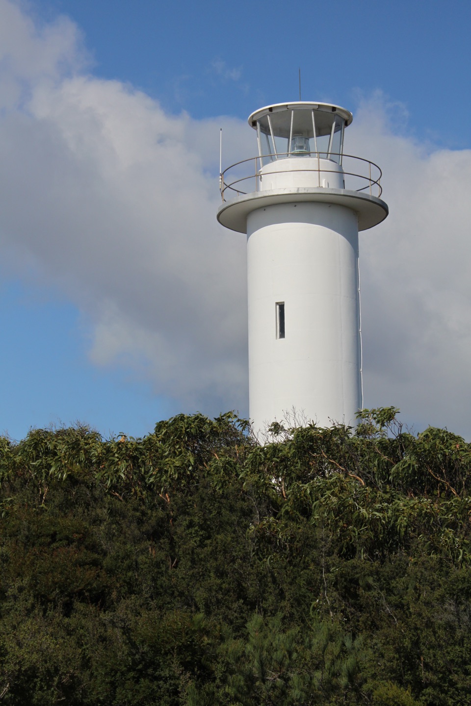
Parking
Start at Wineglass Bay Walking Tracks Car Park at the end of Coles Bay Road. Toilets and drinking-water taps are at the car park; there are no facilities on the route.
#3 of 21 trails in Freycinet
Freycinet National Park, TAS
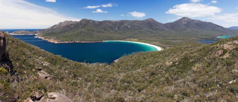
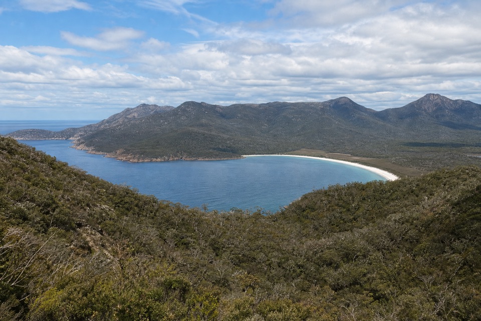
Steep stone steps cross the saddle to a pale crescent of sand.
Overview
Map & elevation
Plan your hike

The highest, rockiest slopes around here are a summer buffet for grizzly bears.
Freycinet Tour Guide
Parkwolf is a GPS audio tour guide for Freycinet National Park. As you drive, it chimes in with what’s ahead: hidden gems, upcoming stops, history, geology, and wildlife, right through your car’s speakers.
Recorded for this trailhead
Wineglass Bay Walking Tracks“You're approaching the Wineglass Bay Walking Tracks car park, where the hike to the famous crescent-beach view begins.”
Plays as you drive up to this trailhead in the Parkwolf Freycinet Tour Guide.
More stories near here in the app
“Fantastic app with many points of information… It’s great to just turn on while you’re driving and it gives you an audio tour of the national Park. We love it!!!!”


Trail guide
Wineglass Bay Track is the beach walk from the main walking-tracks car park, over the saddle, down to the north end of Wineglass Bay, and back. The complete mapped outing is about 5.4 km (3.3 miles) round trip; allow around 2½ hours with time at the lookout and on the sand. It is a moderate walk with a steep, stepped climb on the way up and a long climb back from the beach. This is the route to choose when you want to stand on the shore, not just look down at it. Distance descriptions vary; this figure follows the car-park-to-north-beach route and leaves out side trips.
If the beach is more commitment than you want, the separate Wineglass Bay Lookout walk is about 2.6 km return and usually takes 60–90 minutes. It ends at the high view; this track continues over the saddle and down to the sand.
From Wineglass Bay Walking Tracks Car Park, a formed path climbs through coastal woodland and boulder-strewn slopes. Stone steps take over for much of the uphill, so settle into a steady pace instead of trying to rush the climb. The track reaches the saddle between Mount Mayson and Mount Amos, where a short side spur leads to Wineglass Bay Lookout. That viewpoint looks down on the bay's curved beach, with Cape Forestier and Hazards Lagoon beyond it. The lookout spur is optional and isn't included in the distance above.
Past the saddle, the track descends the far side to the northern end of the bay. The first view from above is the pale crescent of sand, framed by granite points and blue-green water. At beach level, boulders at the north end make a natural place to stop before heading back. The route turns around here; walking farther south along the sand is an optional extension, not part of the mapped distance. Don't continue onto the Hazards Beach and Isthmus route unless you mean to do that separate, much longer circuit.
The return is where the steps earn their reputation: retrace the beach track to the saddle, then follow the signed return path above it to the car park. Visitors often find the climb away from the shore slow going, so leave energy for it before settling in on the sand. The two upper paths are separately mapped for uphill and return travel; follow the signs at the saddle rather than assuming every upper step is used in both directions.
The walking-tracks car park is at the end of Coles Bay Road. Toilets and drinking-water taps are available there, but there is no water or toilet on the track or at the beach; fill bottles before leaving. A valid Tasmanian parks pass is required for park entry. Dogs are not allowed in Freycinet National Park. There is no food stop on the route, so bring anything you want to eat.
The Hazards' pink granite peaks rise behind the beach. The peninsula's landforms are two deeply eroded granite blocks, shaped over more than 400 million years. From the lookout spur, frame the entire pale curve against the headlands; from the beach, include a foreground boulder to show the size of the granite points.
Wildlife
 27 sightingsWombatMost seen around 7 PMSighting map
 35 sightingsEchidnaMost seen around 6 PMSighting map
 358 sightingsRed-necked WallabyMost seen around 6 PMSighting map
 17 sightingsPademelonMost seen around 7 PMSighting map
 27 sightingsWhite-bellied Sea-EagleMost seen around 5 PMSighting map
 50 sightingsKookaburraMost seen around 7 AMSighting map
Sighting maps show where each species has been reported across Freycinet. Wildlife moves, so no sighting is guaranteed.
Keep exploring
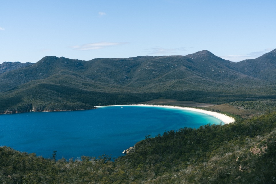 ModerateWineglass Bay Lookout Track2.9 km · 1.3 hr · At the trailheadThe climb ends above Wineglass Bay’s famous white crescent.
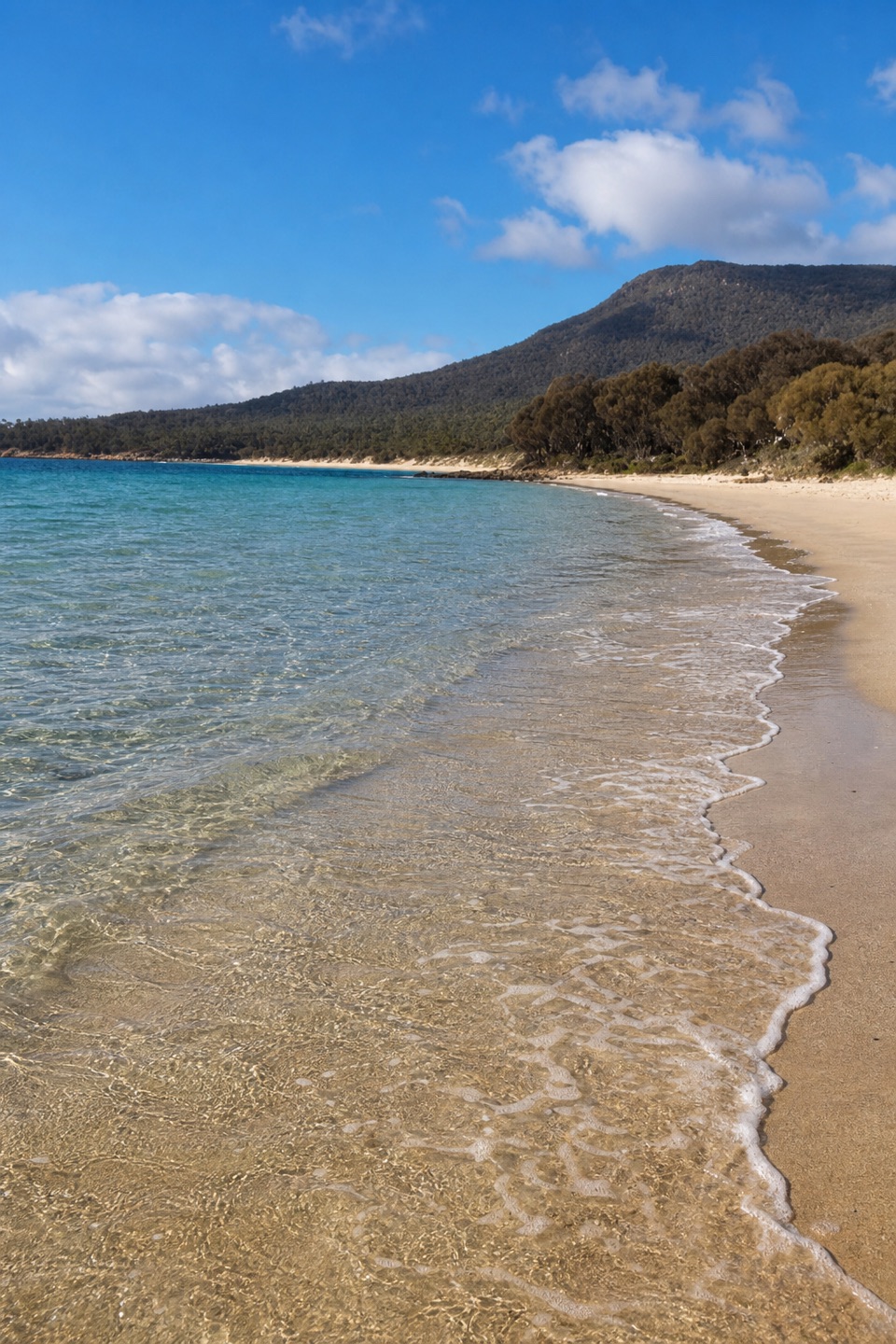 ModerateCooks Beach Track via Hazards Beach27.7 km · 9 hr · At the trailheadA remote beach you earn through sand, scrub and granite.
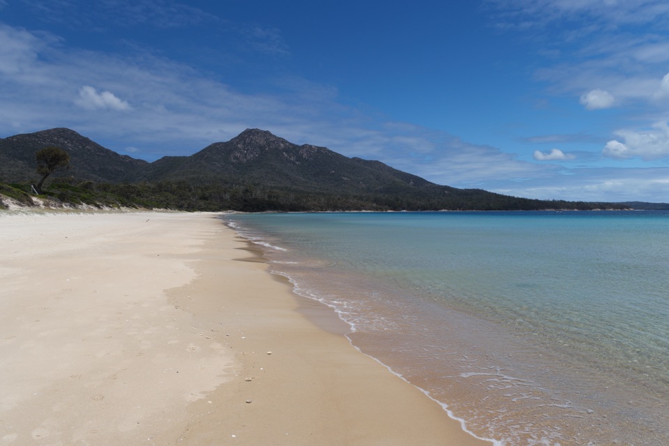 ModerateHazards Beach Track11.4 km · 4.5 hr · At the trailheadA coastal track to the north end of Hazards Beach.
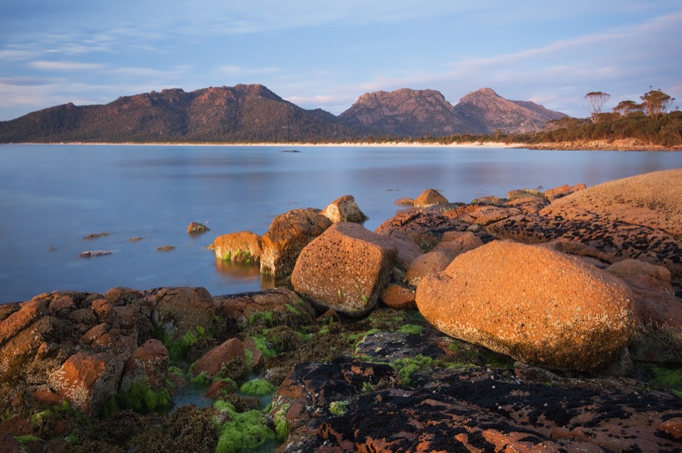 ModerateIsthmus Track to Hazards Beach10.1 km · 4 hr · At the trailheadTwo bays and a steep staircase make a proper half-day walk.
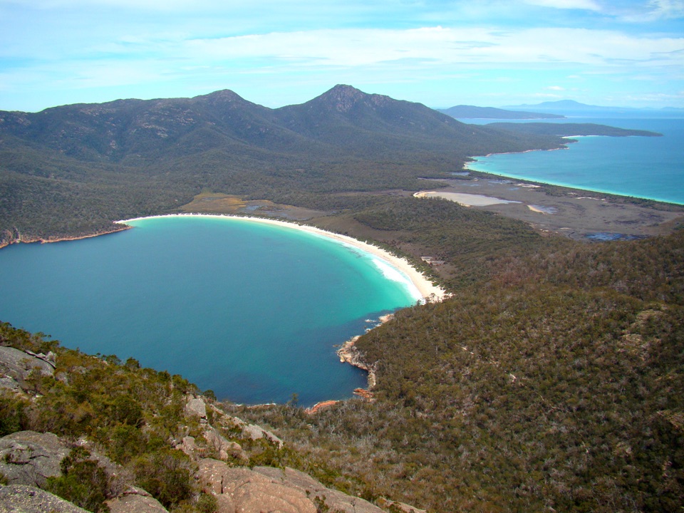 ChallengingMount Amos Track4 km · 3.5 hr · At the trailheadA steep granite scramble with a Wineglass Bay payoff.ChallengingFreycinet Peninsula Circuit28.2 km · 12 hr · At the trailheadA multi-day coastal loop with an inland climb.
 ChallengingMount Graham Summit20.4 km · 9 hr · At the trailheadA long climb from the bay earns views north and south.ChallengingWineglass Bay and Hazards Beach Circuit11.4 km · 4.5 hr · At the trailheadA high bay lookout, two beaches, and a rugged loop in between.
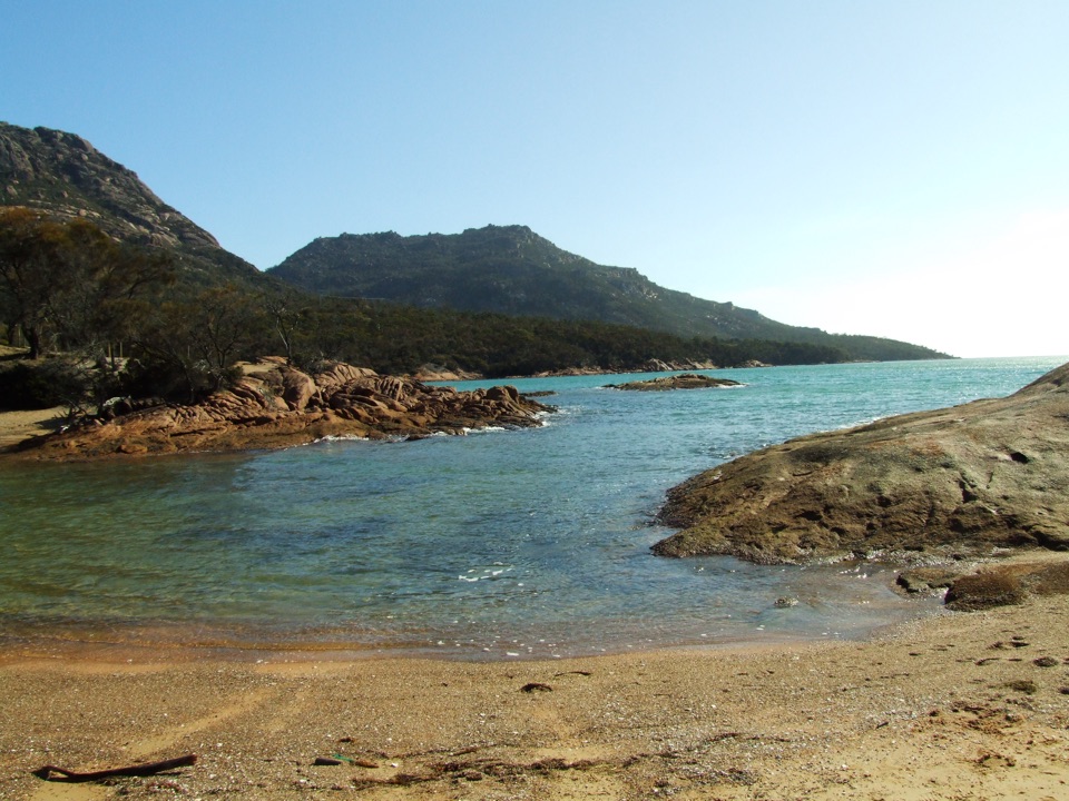 Beach · 1 km awayHoneymoon BayA small cove for quick swims and sunset on the granite rocks.
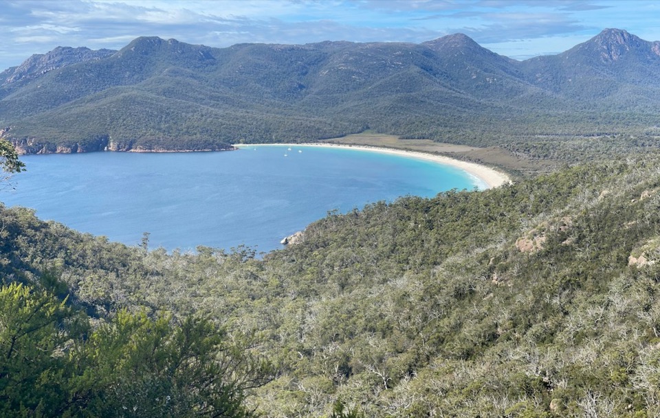 Sight · 1.1 km awayWineglass Bay LookoutThe climb earns you the full curve of Wineglass Bay.
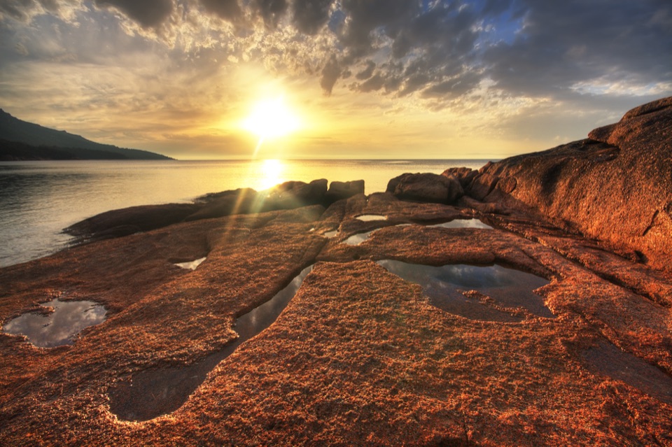 Campground · 1.1 km awayHoneymoon Bay CampgroundA tent camp on a granite knoll above the bay.
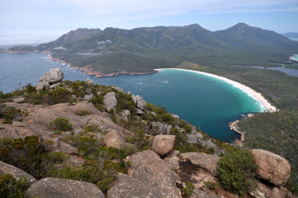 Sight · 1.2 km awayMount AmosA steep granite scramble to a high Wineglass Bay panorama.
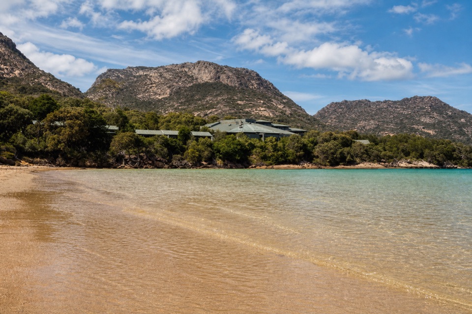 Lodging · 1.6 km awayFreycinet LodgeStay inside the park, with three dining options on site.
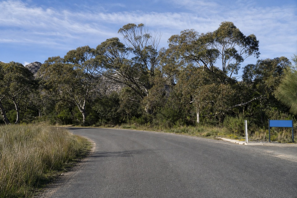 Picnic area · 2.3 km awayRanger Creek Day Use AreaA sheltered picnic stop with BBQs near the park entrance.
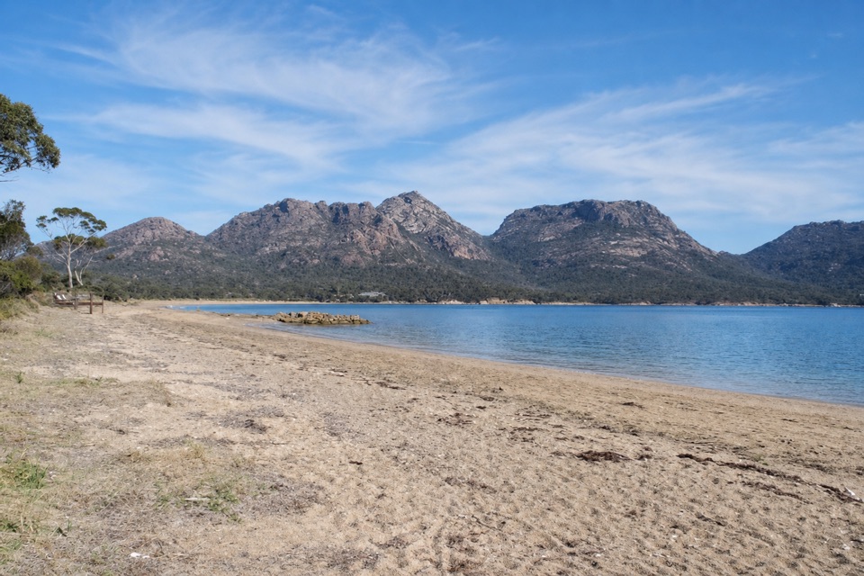 Beach · 2.3 km awayRichardsons BeachEasy beach days with the Hazards rising across the bay.
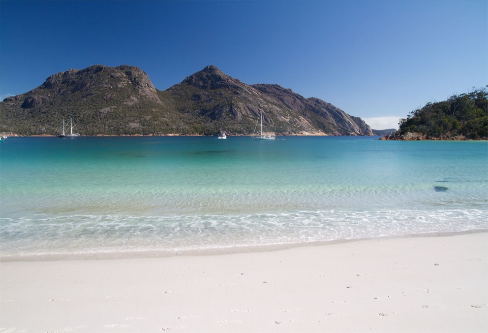 Beach · 2.4 km awayWineglass BayA white-sand crescent below the Hazards, earned on foot.
Parkwolf’s Freycinet ranking

The audio tour guide for the drive, plus offline maps, trails, and wildlife heatmaps for when the signal drops.