Best time to go
These sites open only over the summer holidays and Easter. Check current booking instructions and access details before planning a stay.

Campground · Freycinet National Park
A tent camp on a granite knoll above the bay.
Overview
Map
Plan your stop

The highest, rockiest slopes around here are a summer buffet for grizzly bears.
Freycinet Tour Guide
Parkwolf is a GPS audio tour guide for Freycinet National Park. As you drive, it chimes in with what’s ahead: hidden gems, upcoming stops, history, geology, and wildlife, right through your car’s speakers.
Recorded for this place
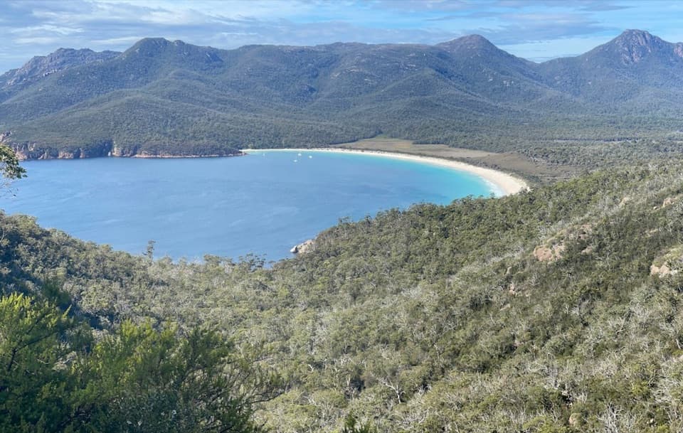
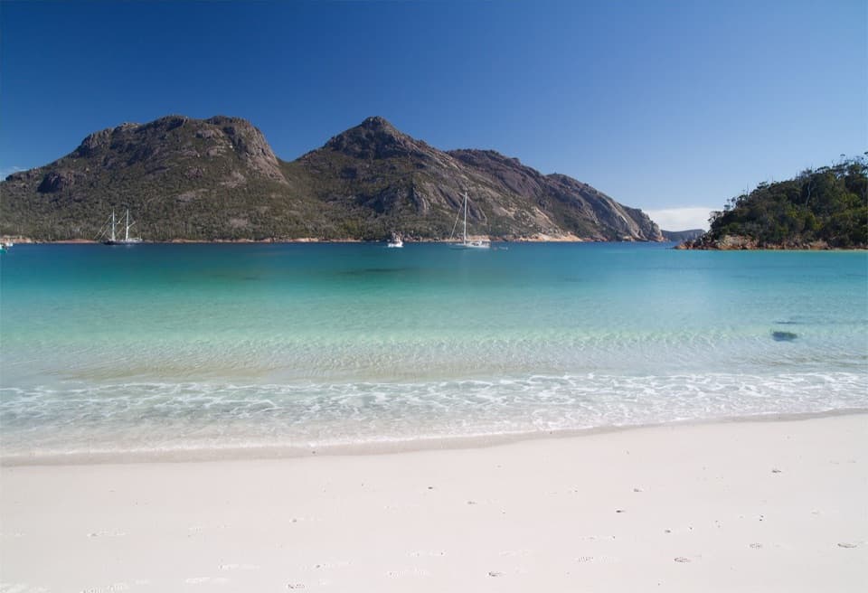
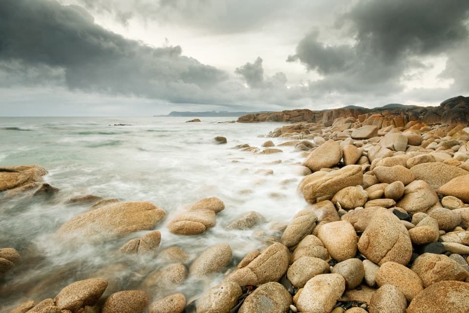
Honeymoon Bay“Honeymoon Bay is coming up, a tiny pocket of sand among pink-grey granite, with the Hazards rising behind it. Stop here for a swim or snorkel in the sheltered cove, rather than a long beach walk.”
Plays as you drive up to Honeymoon Bay Campground in the Parkwolf Freycinet Tour Guide.
More stories near here in the app
“Fantastic app with many points of information… It’s great to just turn on while you’re driving and it gives you an audio tour of the national Park. We love it!!!!”


Guide
Honeymoon Bay Campground is a group of seven individual tent-only sites, numbered 46–52, on a granite knoll overlooking Honeymoon Bay. It suits a simple tent stay close to the coast; there is no power, and caravans are not permitted.
A non-treated water tap and toilets are about 100 metres from the pitches, so expect a short walk for basic facilities. Bring drinking water or a way to treat the tap water.
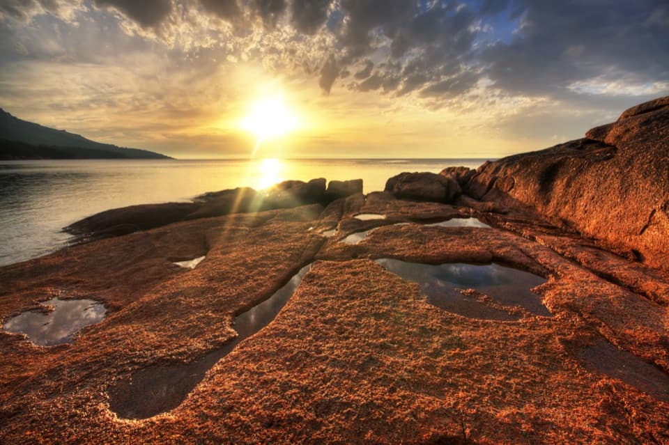
The sheltered bay below is known for swimming, snorkelling and sunset views. The campground’s draw is its spot above the water, with the bay as the backdrop to an otherwise basic stay.
Wildlife
 27 sightingsWombatMost seen around 7 PMSighting map
 36 sightingsEchidnaMost seen around 6 PMSighting map
 361 sightingsRed-necked WallabyMost seen around 6 PMSighting map
 17 sightingsPademelonMost seen around 7 PMSighting map
 28 sightingsWhite-bellied Sea-EagleMost seen around 5 PMSighting map
 54 sightingsKookaburraMost seen around 7 AMSighting map
Sighting maps show where each species has been reported across Freycinet. Wildlife moves, so no sighting is guaranteed.
Keep exploring
 ModerateHoneymoon Bay to Parsons Cove6.1 km · 1.8 hr · 0.2 km awayA 3.8-mile return walk from Honeymoon Bay to Parsons Cove.
 ChallengingMount Graham Summit20.4 km · 9 hr · 1.1 km awayA long climb from the bay earns views north and south.
 ChallengingFreycinet Peninsula Circuit28.2 km · 12 hr · 1.1 km awayA multi-day coastal loop with an inland climb.
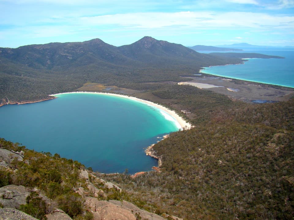 ChallengingMount Amos Track4 km · 3.5 hr · 1.1 km awayA steep granite scramble with a Wineglass Bay payoff.
 ChallengingWineglass Bay and Hazards Beach Circuit11.4 km · 4.5 hr · 1.1 km awayA high bay lookout, two beaches, and a rugged loop in between.ModerateWineglass Bay Lookout Track2.9 km · 1.3 hr · 1.1 km awayThe climb ends above Wineglass Bay’s famous white crescent.
 ModerateWineglass Bay Track5.4 km · 2.5 hr · 1.1 km awaySteep stone steps cross the saddle to a pale crescent of sand.
 ModerateCooks Beach Track via Hazards Beach27.7 km · 9 hr · 1.1 km awayA remote beach you earn through sand, scrub and granite.
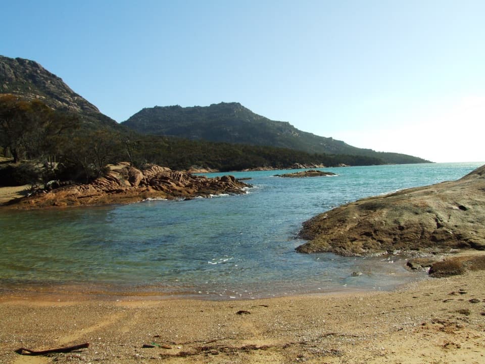 Beach · 0.2 km awayHoneymoon BayA small cove for quick swims and sunset on the granite rocks.
 Lodging · 0.5 km awayFreycinet LodgeStay inside the park, with three dining options on site.
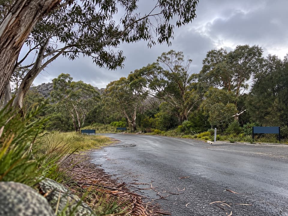 Picnic area · 1.4 km awayRanger Creek Day Use AreaA sheltered picnic stop with BBQs near the park entrance.
 Beach · 1.5 km awayRichardsons BeachEasy beach days with the Hazards rising across the bay.
 Visitor center · 1.5 km awayFreycinet National Park Visitor CentreA practical first stop for maps, pass help and walking ideas.
 Campground · 1.6 km awayRichardsons Beach CampgroundCamp a short walk from the sand, with Hazards views.
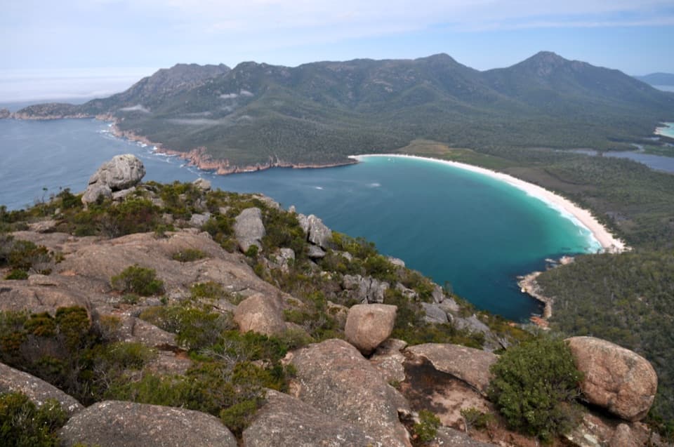 Sight · 1.6 km awayMount AmosA steep granite scramble to a high Wineglass Bay panorama.
 Beach · 1.6 km awayLittle Gravelly BeachA pocket cove of smooth granite pebbles beyond Sleepy Bay.
Parkwolf’s Freycinet ranking

The audio tour guide for the drive, plus offline maps, trails, and wildlife heatmaps for when the signal drops.