
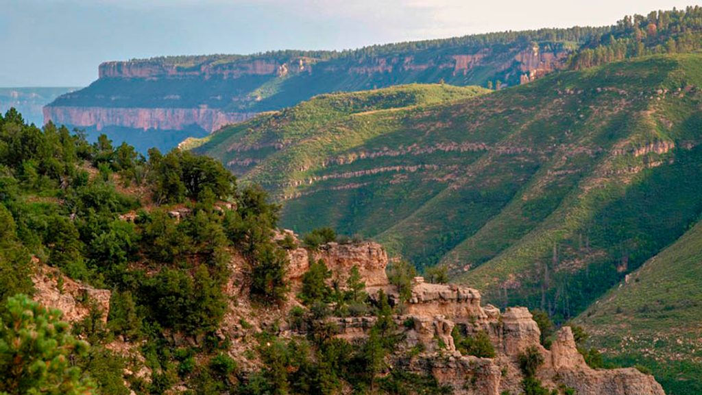
Place · 1.5 mi away
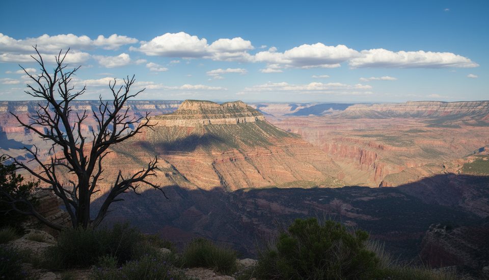
Fire Point is a true North Rim backroad prize: a cliff‑edge overlook that trades crowds for silence and big views. The payoff is classic Grand Canyon scenery with a strong sense of wilderness—far from the park’s busy, signed viewpoints.
Reach it via forest roads west of Highway 67, primarily FR 223 with a connection to FR 609. It’s roughly 17.5 miles from the highway through aspen groves and ponderosa pine. A cattle guard marks the boundary into the national park; beyond this, the road gets narrower and rougher, and unlicensed OHVs aren’t allowed. The road dead‑ends at a roundabout—park here and make a short walk to the rim.
Expect slow going: neither the Forest Service nor the Park Service maintains this road, and conditions can be deeply rutted or muddy when wet. High clearance is required; 4WD is recommended.
Fire Point delivers expansive, west‑facing canyon panoramas with almost guaranteed solitude. The approach through mixed forest is scenic—especially when the aspens turn in fall—making the journey part of the experience.
There are no facilities. Within the park, this area is part of a designated backcountry use area—overnight camping here requires a Grand Canyon backcountry permit. Dispersed camping is available in the surrounding Kaibab National Forest outside the park boundary. Pack out everything.
The Kaibab Plateau is rich with wildlife. Drivers frequently encounter deer (especially after dark), and the area also hosts elk, wild turkeys, and a variety of birds. Take it slow on the approach roads, particularly at night.
Many backroad travelers combine Fire Point with nearby North Rim viewpoints like Timp Point, using the FR 609 junction to make a loop.
Late spring through fall, when the roads are dry. Avoid the area after rain or during snow/mud seasons, when routes can be impassable. Sunset brings warm side‑light and standout photos; dawn and dusk are also best for wildlife. It’s remote enough that day‑of‑week crowding isn’t a factor, but always check current park status and fire restrictions before heading out.
Place · 1.5 mi away
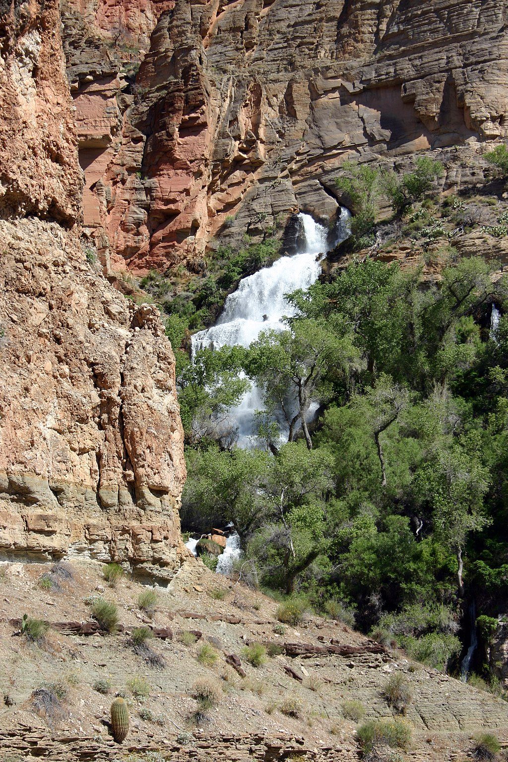
Place · 5.6 mi away
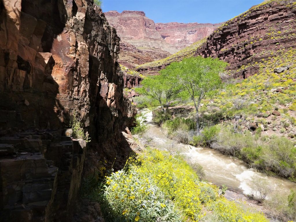
Place · 5.8 mi away
Place · 6.1 mi away
Challenging · 1.5 mi away
Challenging · 1.5 mi away
Challenging · 6.6 mi away
Challenging · 6.6 mi away

Parkwolf Tour Guide
