Pros & cons
PROS
- Remote, crowd-free North Rim panorama
- Launch point for the historic North Bass Trail
- Expansive views toward Powell Plateau and Muav Canyon
CONS
- Long, rough, high-clearance dirt road; impassable when wet
- No services or water at the trailhead
- Brushy, hard-to-follow backcountry routes
Overview
Swamp Point is a far-flung North Rim overlook that doubles as the trailhead for the North Bass Trail. If you want big views, true solitude, and a taste of the park’s early backcountry history, this is your spot. It’s a long, rugged drive and there are zero services, but the payoff is a wild, empty rim and a canyon panorama few visitors ever see.
What Makes It Special
- Remoteness and solitude: this is one of the least-visited developed access points on the rim.
- History underfoot: the North Bass route traces a late‑1800s cross‑canyon tourism corridor tied to William Wallace Bass; about a mile down is a historic cabin that adds real frontier flavor.
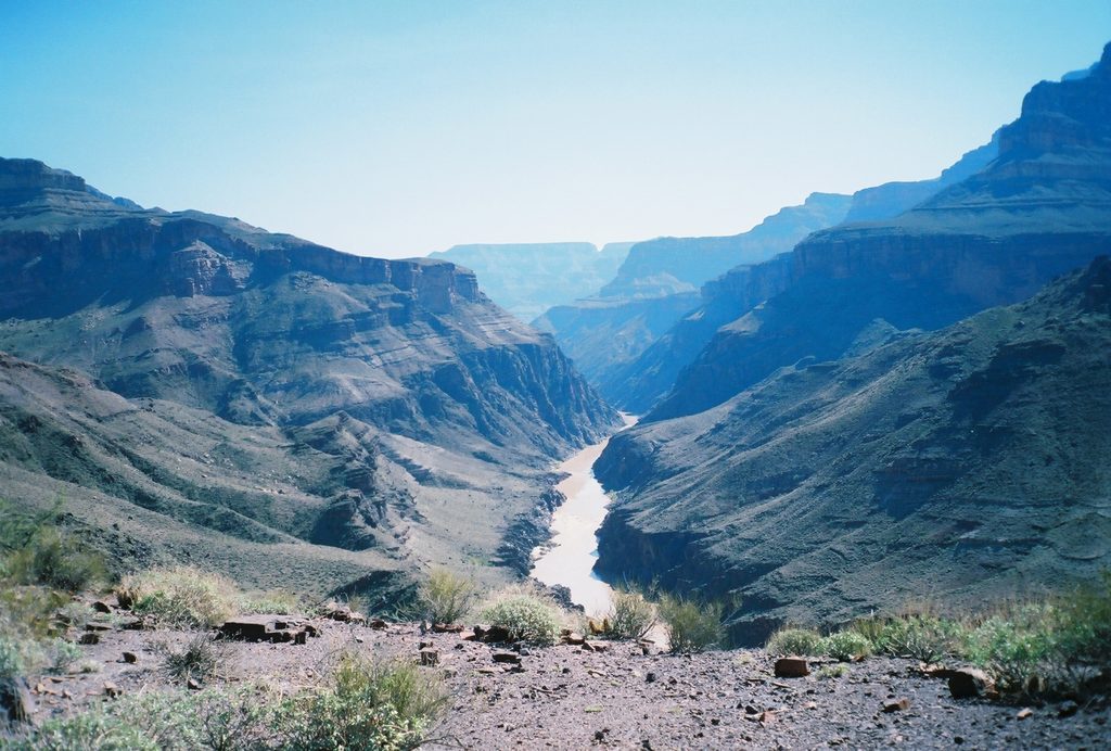
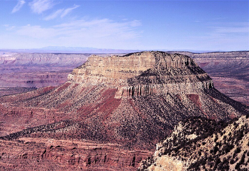
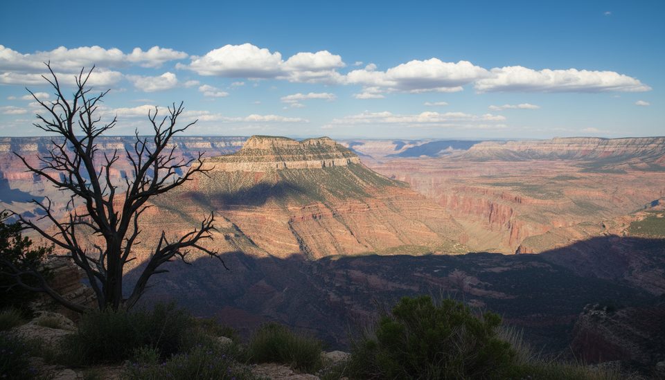
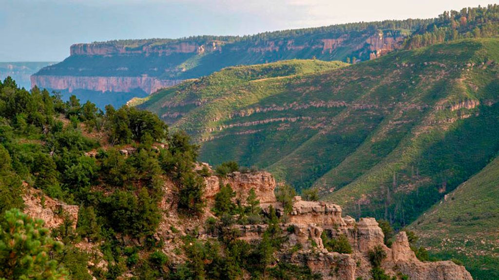
- Scenery: sweeping sightlines take in Muav Canyon to the east, Powell Plateau straight across, plus Saddle Canyon and Steamboat Mountain to the west.
Geology You’ll Notice
From the rim’s Kaibab Limestone, the North Bass Trail drops quickly through the pale Coconino Sandstone—classic Grand Canyon layers stacked in plain view. Expect airy cliffs, slickrock, and dramatic pour‑offs as you descend.
Getting There & Road Conditions
Reaching Swamp Point means many miles of dirt along Swamp Ridge Road. High‑clearance is strongly recommended. After rain, sections can turn sloppy or impassable. Signage is sparse; bring offline maps/GPS and be self‑reliant.
Hiking from Swamp Point
The North Bass Trail is beautiful but rugged—often brushy and intermittent. Strong navigation skills are essential, and some backpackers carry a short cord to lower packs on steeper bits. There’s no reliable water at the trailhead; the first semi‑reliable source is Queen Anne Spring roughly a mile down the trail (treat all water). If you’re exploring nearby rim points, don’t expect old fire roads to be obvious on the ground—cross‑country lines often work better than chasing faint two‑tracks.
Wildlife
Keep an eye out for the endemic Kaibab squirrel in the pines near the rim. Raptors are common overhead, and some visitors have even reported seeing a condor. As always in remote country, give wildlife space and secure your food.
Best Time to Visit
- Season: Late spring through fall for dry roads; avoid or be cautious during/after summer monsoon storms.
- Time of day: Sunrise and sunset paint Powell Plateau and the canyon walls with soft light; midday is harsher and hotter.
- Crowds: Essentially none—weekdays and weekends feel similar here.
Know Before You Go
There are no restrooms, no water, no store—nothing but a dirt turnaround and a world‑class view. Primitive camping is possible in the area under backcountry rules; permits are required for any overnight below the rim. Come prepared, and you’ll have one of the quietest, most rewarding rim experiences in the park.
Where it is
36.3353, -112.3543Tips for Swamp Point
- 01Use a high-clearance vehicle and avoid the road after heavy rain.
- 02Bring all the water you need; there is none at the trailhead.
- 03Carry offline maps/GPS—signage is minimal and routes can be faint.
- 04Permits are required for any overnight below the rim.
- 05In summer, pack insect repellent; mosquitoes can be bothersome.
Amenities
Near Swamp Point
All places →All trails →
0 mi awayNorth Bass TrailThe canyon’s wildest rim-to-river route for expert backpackersChallenging · 14 mi · 20 hr
0.2 mi awayPowell Plateau TrailRemote forested island hike with big Grand Canyon rim viewsChallenging · 16 mi · 12 hr
1.5 mi awayFire PointRemote North Rim overlook with big views and no crowdsPullout · Parking
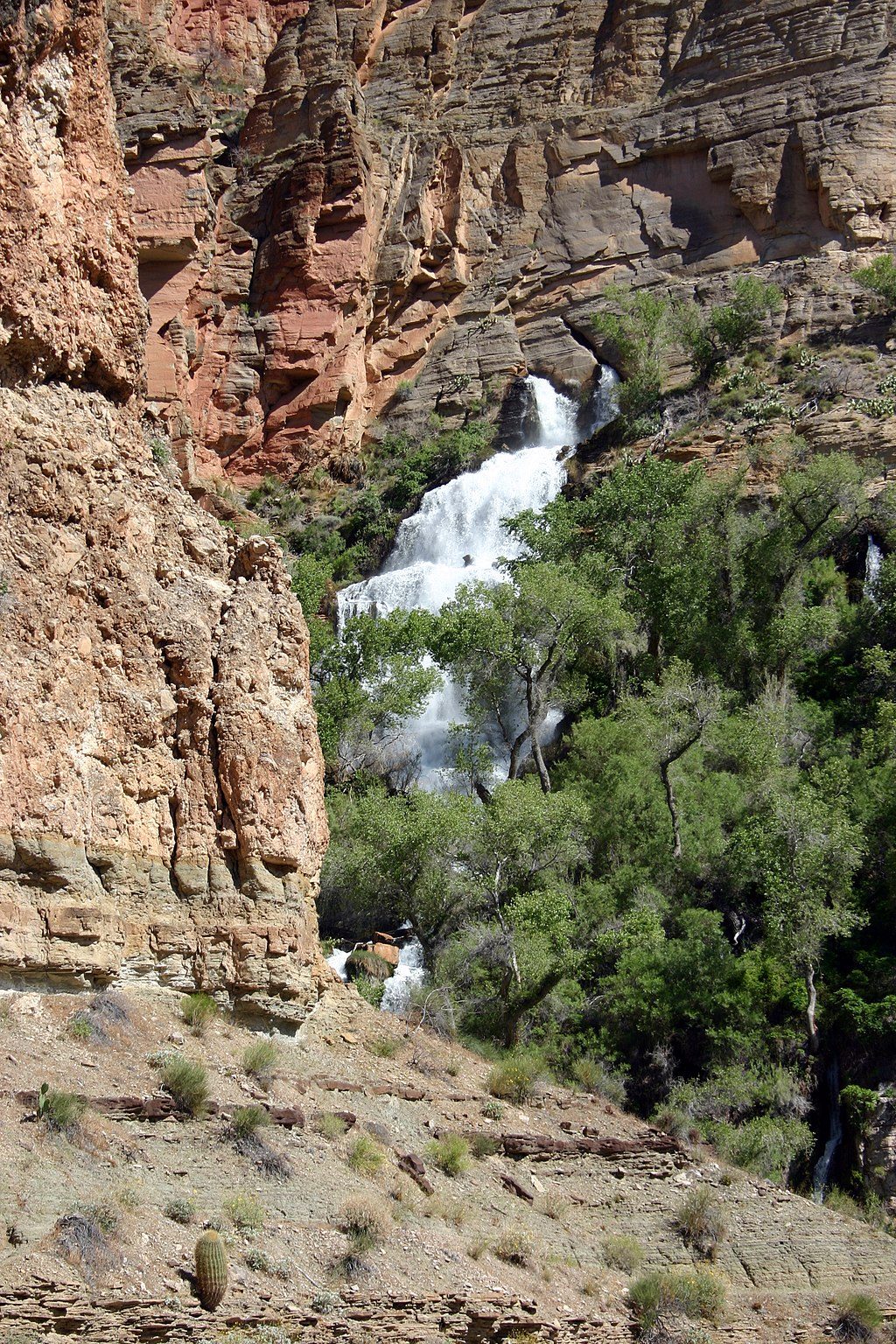
6.7 mi awayThunder River FallsA spring erupts from the wall, creating a lush desert waterfall
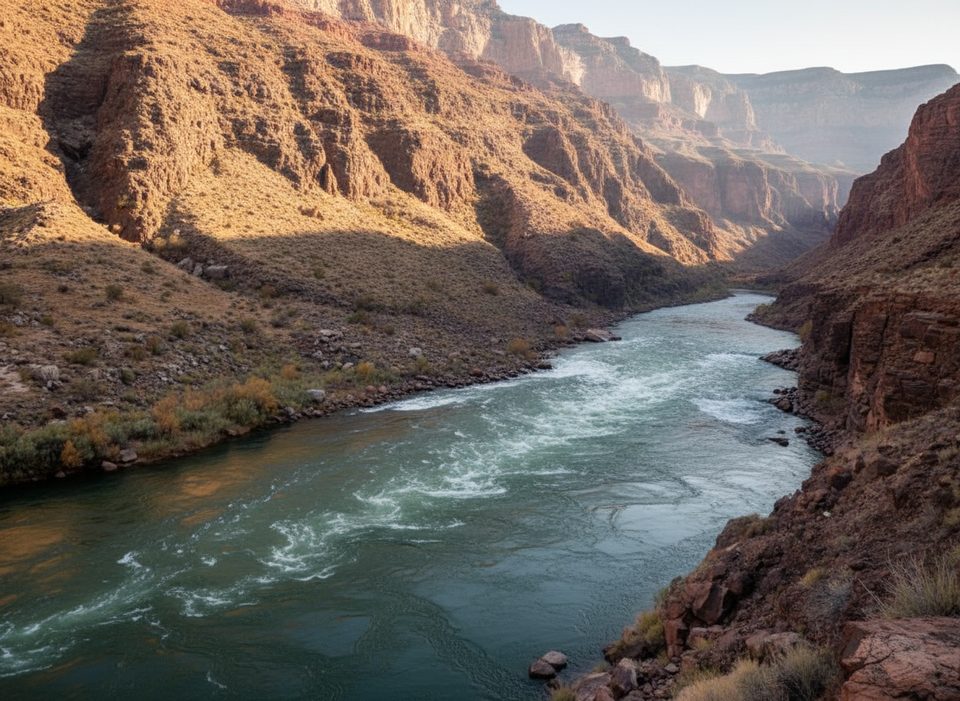
6.9 mi awayTapeats RapidsThundering confluence rapid where Tapeats Creek meets the Colorado
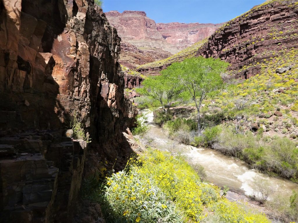
6.9 mi awayThunder RiverA cliff-born river and lush oasis amid stark redwall limestoneScenic Viewpoint
8.1 mi awayDeer Creek TrailHard North Rim trek to Deer Creek narrows and 180-foot fallsChallenging · 23 mi · 48 hr
8.1 mi awayThunder River TrailRoaring spring oasis via a rugged, remote North Rim descentChallenging · 17 mi · 48 hr