Access
There’s a parking area beside the viewpoint, and the stop is marked wheelchair-accessible. The walking surface and path length aren’t specified, so that label doesn’t tell you how easy every part of the visit will be.
Scenic pullout · Grand Canyon National Park
A quick canyon break along Desert View Drive.
Overview
Map
Plan your stop

The highest, rockiest slopes around here are a summer buffet for grizzly bears.
Grand Canyon Tour Guide
Parkwolf is a GPS audio tour guide for Grand Canyon National Park. As you drive, it chimes in with what’s ahead: hidden gems, upcoming stops, history, geology, and wildlife, right through your car’s speakers.
See the Grand Canyon audio tourRecorded for this place
Thor’s Overlook’s Roadside Pause“You're coming up on Thor's Overlook, an unsigned pullout on Desert View Drive. There's no sign with that name; look for the parking area beside the viewpoint.”
Plays as you drive up to Thor’s Overlook in the Parkwolf Grand Canyon Tour Guide.
More stories near here in the app
“Fantastic app with many points of information… It’s great to just turn on while you’re driving and it gives you an audio tour of the national Park. We love it!!!!”


Guide
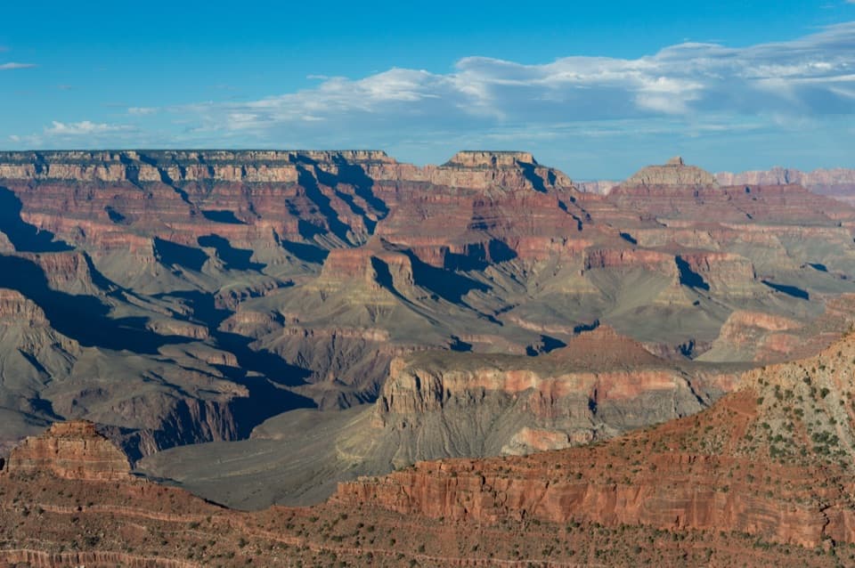
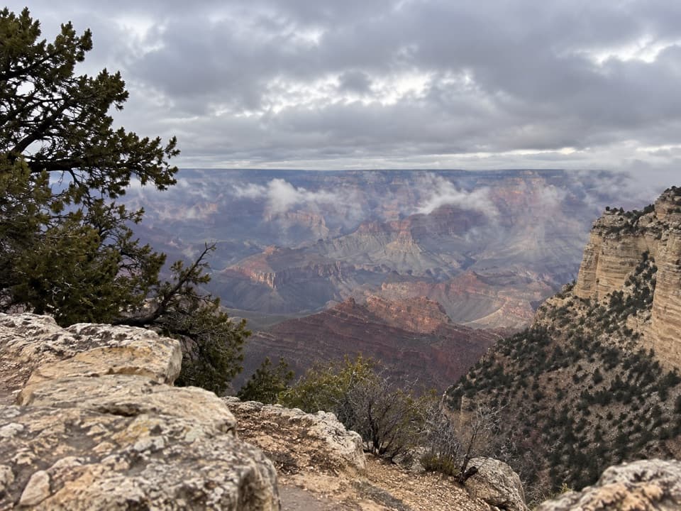
Thor’s Overlook is an unsigned roadside pullout on Desert View Drive, a short stop to look into the Grand Canyon and stretch your legs. The name is a catalog label rather than a sign you’ll see at the pullout. Keep it as a brief pause in the drive; the appeal is the canyon view, not a separate outing.
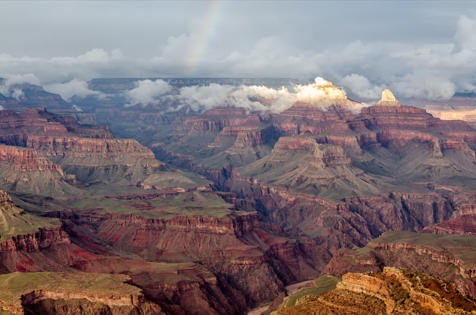
The view opens across layered cliffs and mesas. For a photo, keep a little of the near rim or pine at the edge of the frame; it gives the distant layers some scale.
Wildlife
 718 sightingsCalifornia CondorMost seen around 5 PMSighting map
 533 sightingsBighorn SheepMost seen around 7 AMSighting map
 169 sightingsAmerican BisonMost seen around 7 PMSighting map
 1,891 sightingsElkMost seen around 6 AMSighting map
 59 sightingsCoyoteMost seen around 6 PMSighting map
 27 sightingsGray FoxMost seen around 6 AMSighting map
Sighting maps show where each species has been reported across Grand Canyon. Wildlife moves, so no sighting is guaranteed.
Keep exploring
 ChallengingGrandview Trail to Horseshoe Mesa6 mi · 7.5 hr · 2.2 mi awayA steep 1893 mining route reaches a mesa deep below the rim.
 ChallengingHorseshoe Mesa Loop12.4 mi · 10 hr · 2.2 mi awayA rugged rim-to-mesa circuit with mining history and exposed ledges.
 ChallengingCottonwood Creek Trail from Grandview Point9 mi · 11 hr · 2.2 mi awayThe historic route drops from the rim to an inner canyon creek.ChallengingHance Creek Trail9.8 mi · 11 hr · 2.2 mi awayA steep, exposed descent to Hance Creek with a long climb back
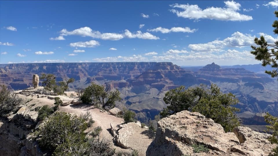 EasyShoshone Point Trail2 mi · 1.5 hr · 3.7 mi awayPines open to a rugged rim point with a North Rim view.
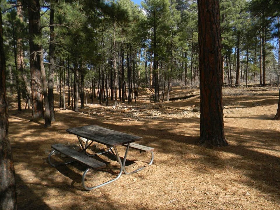 Picnic area · 0.6 mi awayLong Jim Road Picnic AreaPine-shaded picnic tables just off Desert View Drive.
 Scenic pullout · 1.8 mi awayTwin OverlooksTwo quick pullouts for a big canyon view from the road.
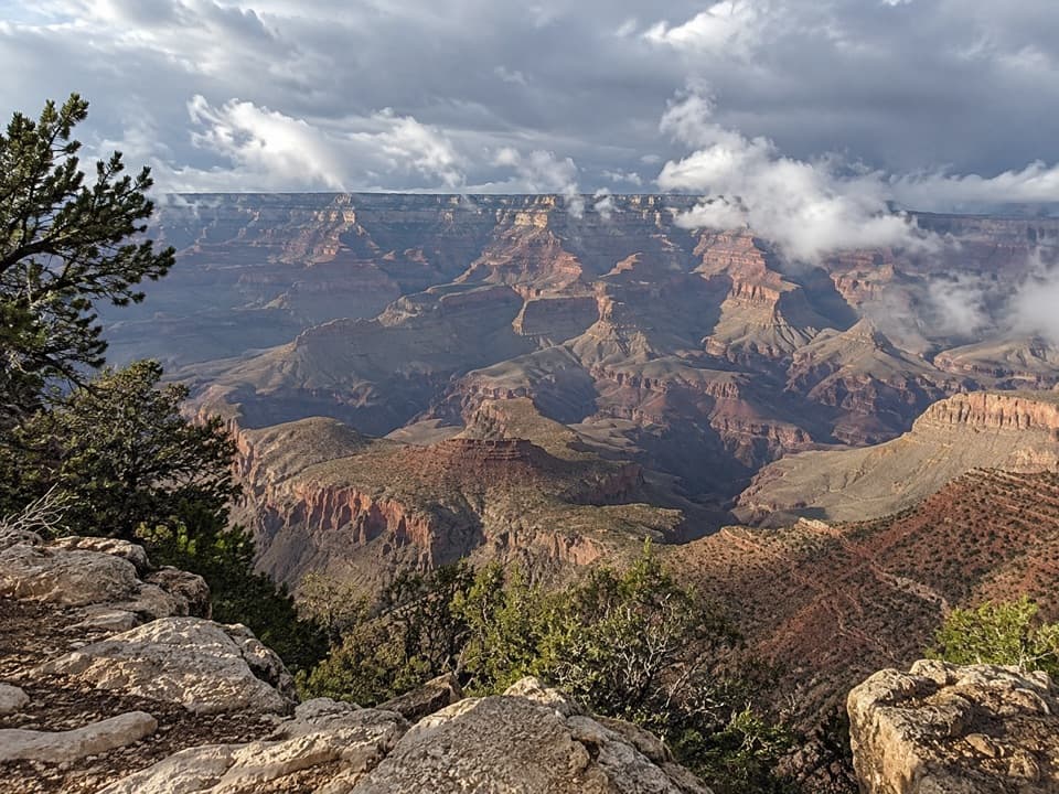 Sight · 2.2 mi awayGrandview PointA broad river view above a steep trail into canyon history.
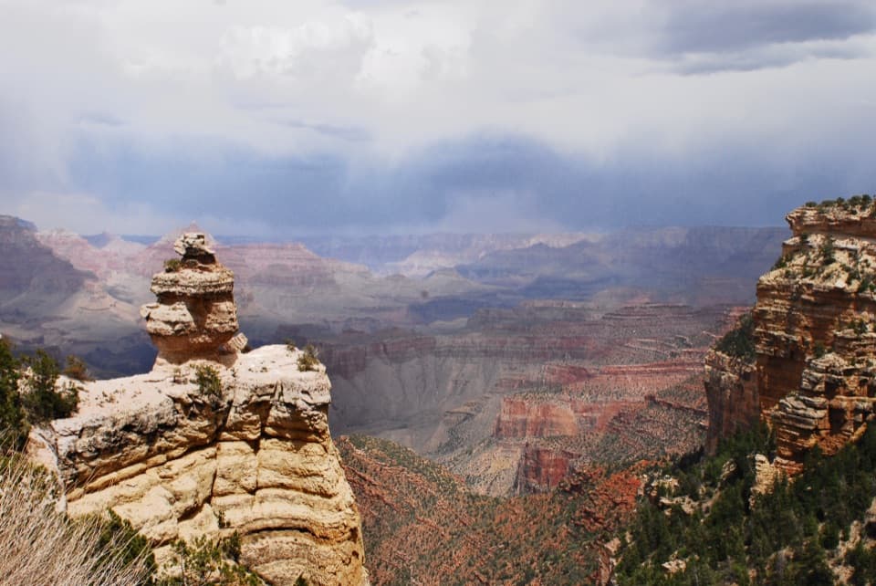 Scenic pullout · 2.6 mi awayDuck on a RockA named rock profile makes this quick canyon pullout memorable.
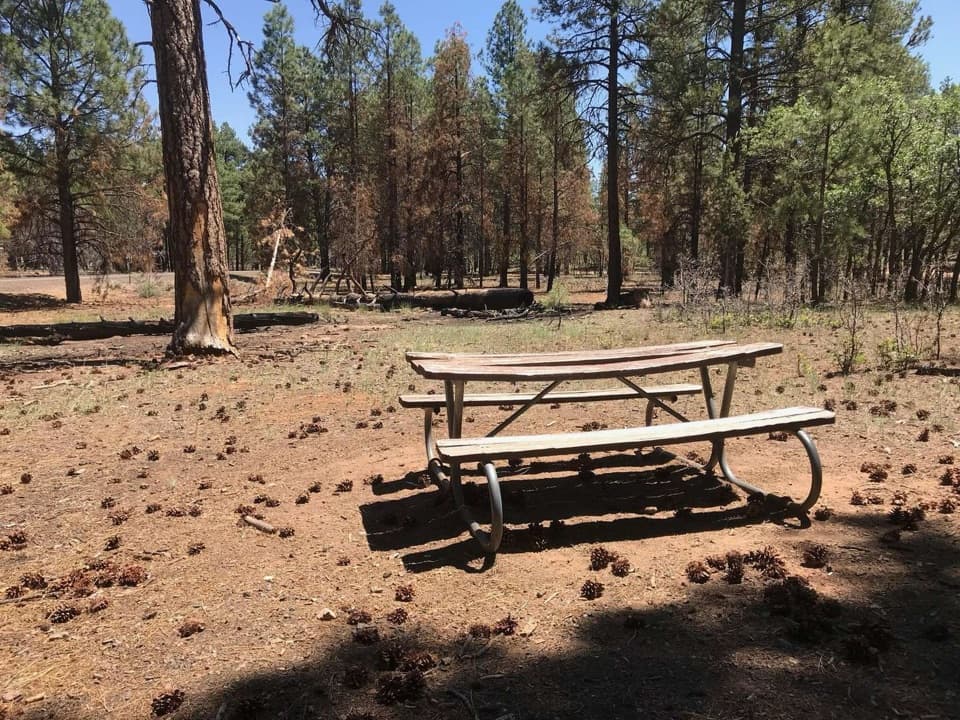 Picnic area · 3.9 mi awayRange Road Picnic AreaA practical picnic break beneath the pines along Desert View Drive.Sight · 4 mi awayShoshone PointA two-mile forest walk leads to a quieter canyon-rim view.
 Picnic area · 4.1 mi awayBuggeln Picnic AreaA shaded lunch break with a ranching past.
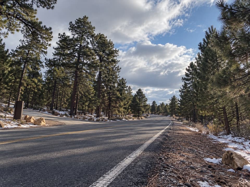 Picnic area · 4.8 mi awayYaki Point Road Picnic AreaShaded picnic tables near South Kaibab; the lot is very limited.
Parkwolf’s Grand Canyon ranking

The audio tour guide for the drive, plus offline maps, trails, and wildlife heatmaps for when the signal drops.