Parking
Grandview Point parking area on Desert View Drive, about 12 miles east of Grand Canyon Village. The trail begins beside the established overlook; use the upper lot for overnight parking.

Grand Canyon National Park, AZ
The historic route drops from the rim to an inner canyon creek.
Overview
Map & elevation
Plan your hike

The highest, rockiest slopes around here are a summer buffet for grizzly bears.
Grand Canyon Tour Guide
Parkwolf is a GPS audio tour guide for Grand Canyon National Park. As you drive, it chimes in with what’s ahead: hidden gems, upcoming stops, history, geology, and wildlife, right through your car’s speakers.
See the Grand Canyon audio tourRecorded for this trailhead
Grandview Point and the Miners’ Trail“Grandview Point is ahead, with a broad panorama of layered cliffs and the Colorado River. I'd stop for the view and treat the trailhead beside it as a separate outing.”
Plays as you drive up to this trailhead in the Parkwolf Grand Canyon Tour Guide.
More stories near here in the app
“Fantastic app with many points of information… It’s great to just turn on while you’re driving and it gives you an audio tour of the national Park. We love it!!!!”


Trail guide
Starting at Grandview Point, this is about a 9-mile out-and-back down Grandview Trail, across Horseshoe Mesa and west to Cottonwood Creek and the Tonto Trail, then back the same way. The park’s route figures give 3 miles to Horseshoe Mesa and about 1.5 more to the creek; the familiar 6-mile Grandview trip turns around at the mesa. Allow roughly 10–12 hours for the creek extension: even the shorter mesa hike takes 6–9 hours, and this adds another steep descent and climb. This is a full canyon day for experienced desert hikers, not a first inner-canyon hike.
The trail leaves beside the Grandview Point overlook and quickly becomes steep, rocky and exposed. You’ll cross old log cribbing and uneven ledges above the Coconino cliff, then reach stretches of hand-laid sandstone paving. At Coconino Saddle, the trail meets the Hermit Shale and opens a view into upper Hance Creek. Steep switchbacks drop through the shale before the grade eases across Supai terrain toward Horseshoe Mesa.
At the mesa, take the west descent toward Cottonwood Creek; the east-side routes toward Page Spring and Hance Creek are different hikes. Not every junction is signed. The west route is the rougher choice, with very steep sections and washouts above the creek. The path then follows the creek’s west bank on a gentler, partly shaded stretch before meeting the Tonto Trail. The return retraces the same steep climb to the rim.
Indigenous people gathered mineral paints on Horseshoe Mesa before miners used Grandview to reach its copper deposits. Mule trains began hauling ore up this route in 1893. Rusted tools, cans and structures remain as protected archaeological resources. The old mines are unsafe and closed; leave artifacts where they are and do not enter the workings.
Park at Grandview Point on Desert View Drive. There is no dependable drinking water below the rim: the upper trail has none, and the lower springs can fail, so treat any water you find. Summer temperatures can exceed 100°F even in shade, monsoon lightning is a concern from July through September, and upper sections can be dangerously icy in winter and early spring. Vault toilets are at the Horseshoe Mesa campsites. Pets are prohibited below the rim, though service animals are allowed. Overnight camping requires a backcountry permit; Horseshoe Mesa campers must use designated sites.
Wildlife
 718 sightingsCalifornia CondorMost seen around 5 PMSighting map
 533 sightingsBighorn SheepMost seen around 7 AMSighting map
 169 sightingsAmerican BisonMost seen around 7 PMSighting map
 1,891 sightingsElkMost seen around 6 AMSighting map
 59 sightingsCoyoteMost seen around 6 PMSighting map
 27 sightingsGray FoxMost seen around 6 AMSighting map
Sighting maps show where each species has been reported across Grand Canyon. Wildlife moves, so no sighting is guaranteed.
Keep exploring
ChallengingHance Creek Trail9.8 mi · 11 hr · At the trailheadA steep, exposed descent to Hance Creek with a long climb back ChallengingGrandview Trail to Horseshoe Mesa6 mi · 7.5 hr · At the trailheadA steep 1893 mining route reaches a mesa deep below the rim.
 ChallengingHorseshoe Mesa Loop12.4 mi · 10 hr · At the trailheadA rugged rim-to-mesa circuit with mining history and exposed ledges.
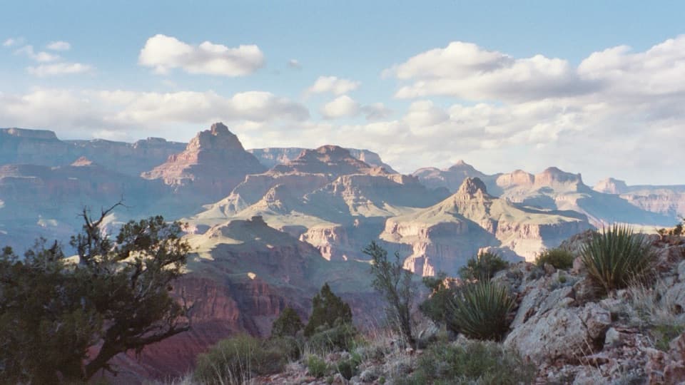 ChallengingNew Hance Trail6.5 mi · 8 hr · 3 mi awayA steep, rough descent through Red Canyon to Hance Rapids.
 ChallengingTonto Trail95 mi · 3.7 days · 4.9 mi awayA 95-mile traverse along the canyon’s dry middle bench.
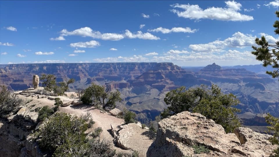 EasyShoshone Point Trail2 mi · 1.5 hr · 5.2 mi awayPines open to a rugged rim point with a North Rim view.
 ModerateClear Creek (from the Colorado River)1.4 mi · 2 hr · 6.4 mi awayA river beach, schist scramble and a waterfall that throws water sideways.
 ChallengingSouth Kaibab Trail6.3 mi · 5 hr · 6.6 mi awayA steep ridge descent with a first river view at Skeleton Point.
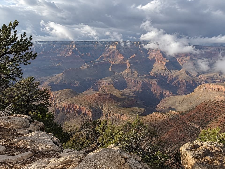 Sight · At the trailheadGrandview PointA broad river view above a steep trail into canyon history.
 Picnic area · 2.2 mi awayBuggeln Picnic AreaA shaded lunch break with a ranching past.
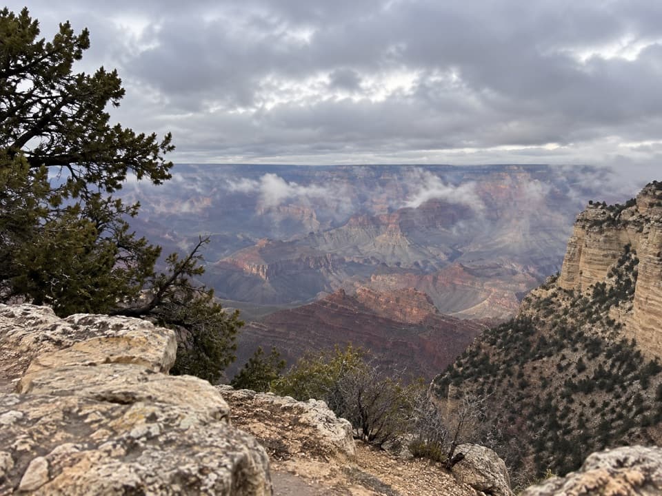 Scenic pullout · 2.2 mi awayThor’s OverlookA quick canyon break along Desert View Drive.
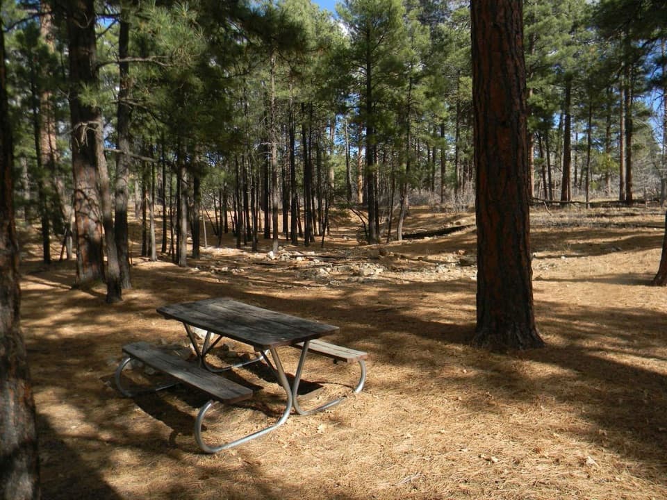 Picnic area · 2.7 mi awayLong Jim Road Picnic AreaPine-shaded picnic tables just off Desert View Drive.
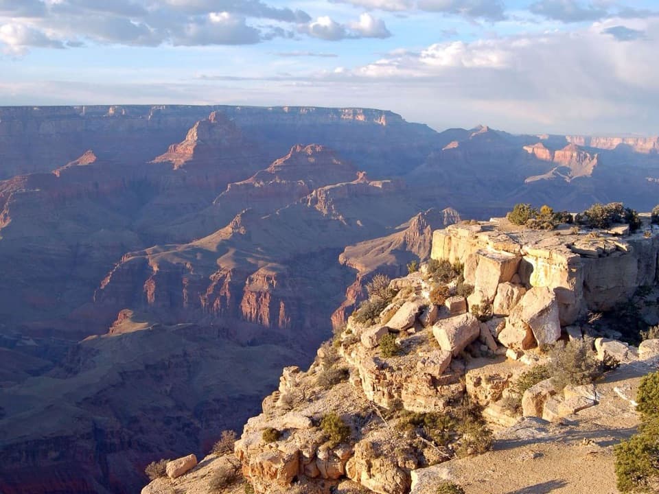 Sight · 3.6 mi awayMoran PointRead the canyon's tilted rock layers with the Colorado River below.
 Scenic pullout · 3.7 mi awayTwin OverlooksTwo quick pullouts for a big canyon view from the road.
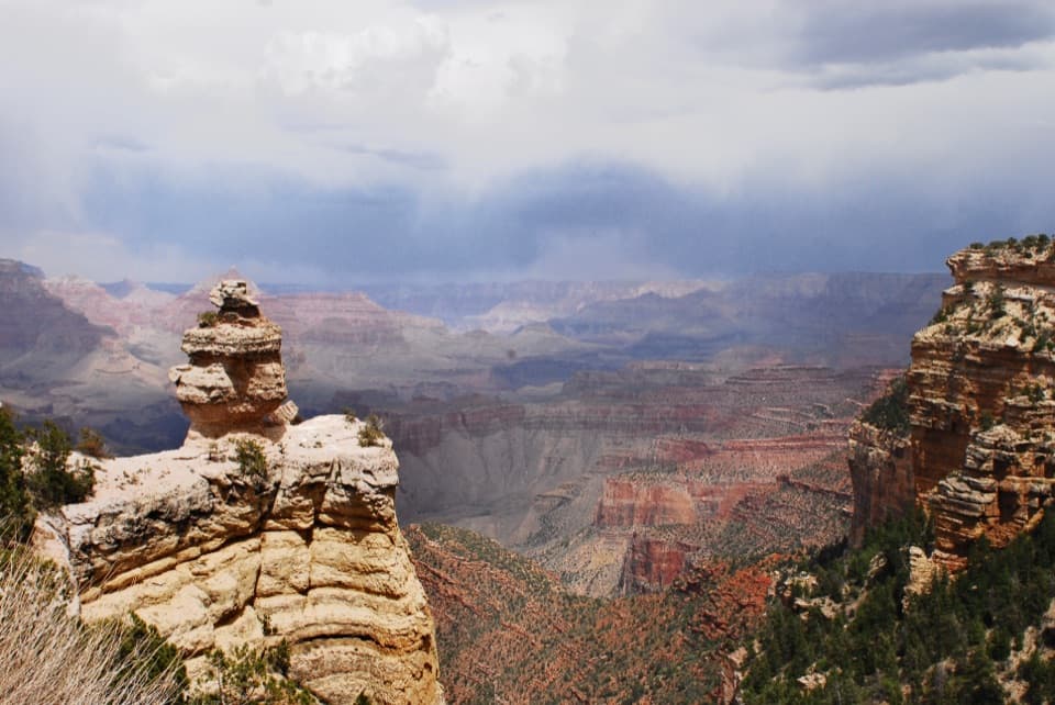 Scenic pullout · 4.5 mi awayDuck on a RockA named rock profile makes this quick canyon pullout memorable.Sight · 5.2 mi awayShoshone PointA two-mile forest walk leads to a quieter canyon-rim view.
Parkwolf’s Grand Canyon ranking

The audio tour guide for the drive, plus offline maps, trails, and wildlife heatmaps for when the signal drops.


