Parking
Start at Grandview Point on Desert View Drive, where the Grandview Trail leaves the overlook. The upper lot is designated for overnight parking.

Grand Canyon National Park, AZ
A rugged rim-to-mesa circuit with mining history and exposed ledges.
Overview
Horseshoe Mesa Loop is a 12.4-mile South Rim hike that drops from Grandview Point to the mesa, circles below it by way of Cottonwood Creek, the Tonto Trail and Hance Creek, then climbs back out on Grandview. The full distance includes the Grandview approach twice; the lower circuit is the loop, while the rim-to-mesa section is shared. This is a remote, very strenuous day with a real canyon payoff, but the ledges and loose descents make it a poor choice for a casual walk. Allow about 9 to 11 hours, depending on pace and stops.
 Parkwolf’s verdictIs this the hike for you?
Map & elevation
Plan your hike

The highest, rockiest slopes around here are a summer buffet for grizzly bears.
Grand Canyon Tour Guide
Parkwolf is a GPS audio tour guide for Grand Canyon National Park. As you drive, it chimes in with what’s ahead: hidden gems, upcoming stops, history, geology, and wildlife, right through your car’s speakers.
See the Grand Canyon audio tourRecorded for this trailhead
Grandview Point and the Miners’ Trail“Grandview Point is ahead, with a broad panorama of layered cliffs and the Colorado River. I'd stop for the view and treat the trailhead beside it as a separate outing.”
Plays as you drive up to this trailhead in the Parkwolf Grand Canyon Tour Guide.
More stories near here in the app
“Fantastic app with many points of information… It’s great to just turn on while you’re driving and it gives you an audio tour of the national Park. We love it!!!!”


Trail guide
Start at Grandview Point and descend Grandview Trail to Horseshoe Mesa, about 3 miles each way. From the mesa, take the west descent to Cottonwood Creek, follow the creek to the Tonto bench, then head east to Hance Creek and climb its steep route back to the mesa. Return to the rim on Grandview. The lower circuit adds about seven miles; if you want a shorter hike, the six-mile out-and-back to the mesa leaves it out.
The first miles are steep and exposed, with worn ledges, vertical steps and switchbacks cut into the canyon wall. Watch your feet where sandstone slabs are set edgewise as rough cobbles, and where historic log cribbing supports the trail above drops. At Coconino Saddle, the view opens east into upper Hance Creek; then steep switchbacks descend through the Supai before a gentler traverse reaches the mesa. Short washouts and rockslides can make that traverse uneven. Wet or icy ledges are especially dangerous, and winter ice can make this trail unsafe.
The mesa is more than a turnaround. You pass a standing masonry structure and traces of the copper workings that brought this trail into being. In February 1893, mule trains began hauling ore to the rim on a rough track then known as the Berry Trail. The copper deposits were reported to average 30 percent copper. Rusted tools, cans and other mining remains are protected; leave them where they are. Mines and caves are closed, and the mine openings are unsafe.
The west descent toward Cottonwood is steep and loose, with badly washed sections above the creek. The route eases near the creek, then climbs back to the Tonto bench. That traverse is comparatively level but open and almost entirely unshaded; don't expect a constant view of the Colorado River. The Hance side is the hardest part for many hikers: its loose, exposed climb passes through the Redwall, where a slip can have serious consequences. Signed junctions are not universal, so pay attention at the mesa and creek intersections.
There is no water between the rim and Horseshoe Mesa. Hance Creek is listed as year-round, but the Page Spring is unreliable and Cottonwood springs can dry in hot weather; treat creek water and don't plan the hike around a spring. There is no water at the mesa campsites. Overnight stays require a backcountry permit and use of designated mesa sites. Pets aren't allowed below the rim; service animals are. Park at Grandview Point on Desert View Drive. The upper lot is the designated overnight parking area.
Wildlife
 718 sightingsCalifornia CondorMost seen around 5 PMSighting map
 533 sightingsBighorn SheepMost seen around 7 AMSighting map
 169 sightingsAmerican BisonMost seen around 7 PMSighting map
 1,891 sightingsElkMost seen around 6 AMSighting map
 59 sightingsCoyoteMost seen around 6 PMSighting map
 27 sightingsGray FoxMost seen around 6 AMSighting map
Sighting maps show where each species has been reported across Grand Canyon. Wildlife moves, so no sighting is guaranteed.
Keep exploring
 ChallengingGrandview Trail to Horseshoe Mesa6 mi · 7.5 hr · At the trailheadA steep 1893 mining route reaches a mesa deep below the rim.
 ChallengingCottonwood Creek Trail from Grandview Point9 mi · 11 hr · At the trailheadThe historic route drops from the rim to an inner canyon creek.ChallengingHance Creek Trail9.8 mi · 11 hr · At the trailheadA steep, exposed descent to Hance Creek with a long climb back
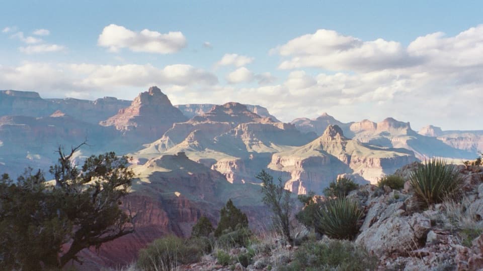 ChallengingNew Hance Trail6.5 mi · 8 hr · 3 mi awayA steep, rough descent through Red Canyon to Hance Rapids.
 ChallengingTonto Trail95 mi · 3.7 days · 5 mi awayA 95-mile traverse along the canyon’s dry middle bench.
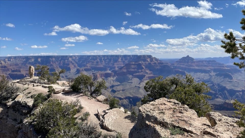 EasyShoshone Point Trail2 mi · 1.5 hr · 5.2 mi awayPines open to a rugged rim point with a North Rim view.
 ModerateClear Creek (from the Colorado River)1.4 mi · 2 hr · 6.4 mi awayA river beach, schist scramble and a waterfall that throws water sideways.
 ChallengingSouth Kaibab Trail6.3 mi · 5 hr · 6.6 mi awayA steep ridge descent with a first river view at Skeleton Point.
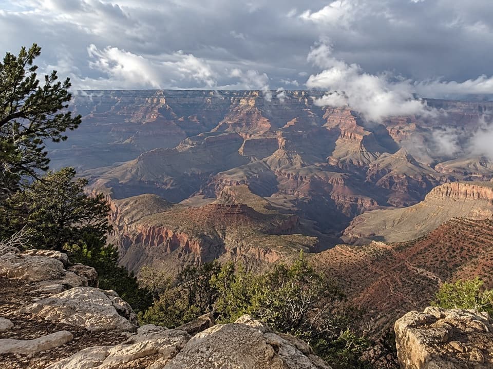 Sight · At the trailheadGrandview PointA broad river view above a steep trail into canyon history.
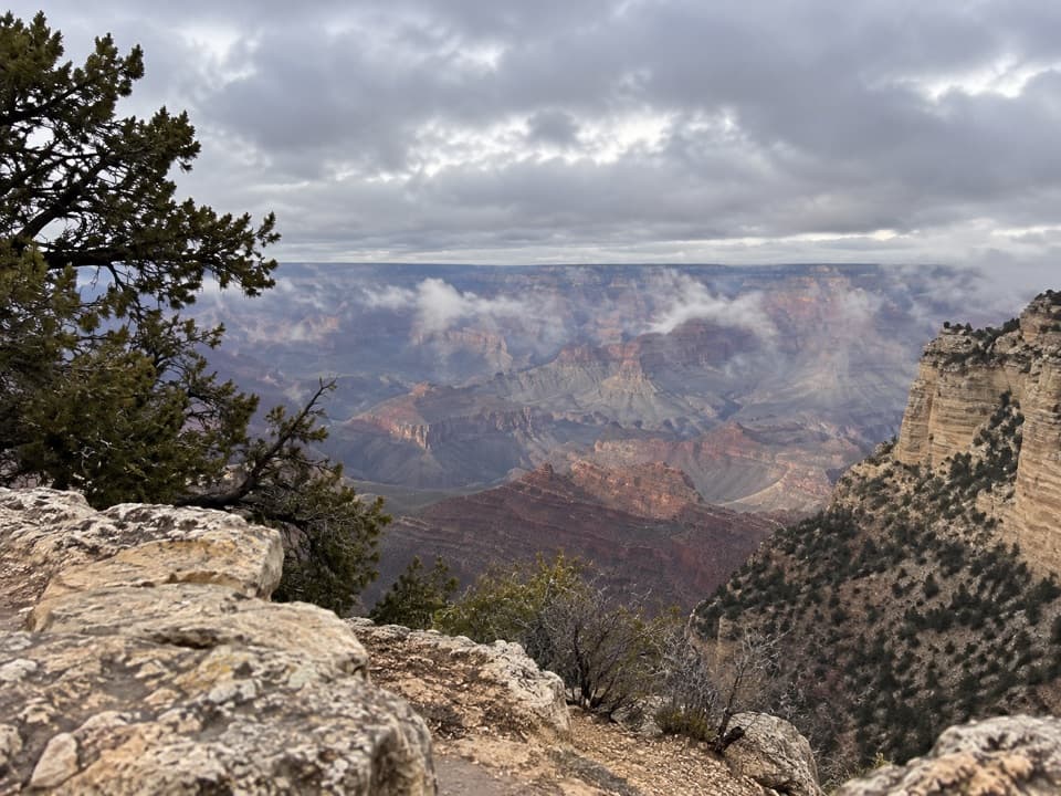 Scenic pullout · 2.2 mi awayThor’s OverlookA quick canyon break along Desert View Drive.
 Picnic area · 2.2 mi awayBuggeln Picnic AreaA shaded lunch break with a ranching past.
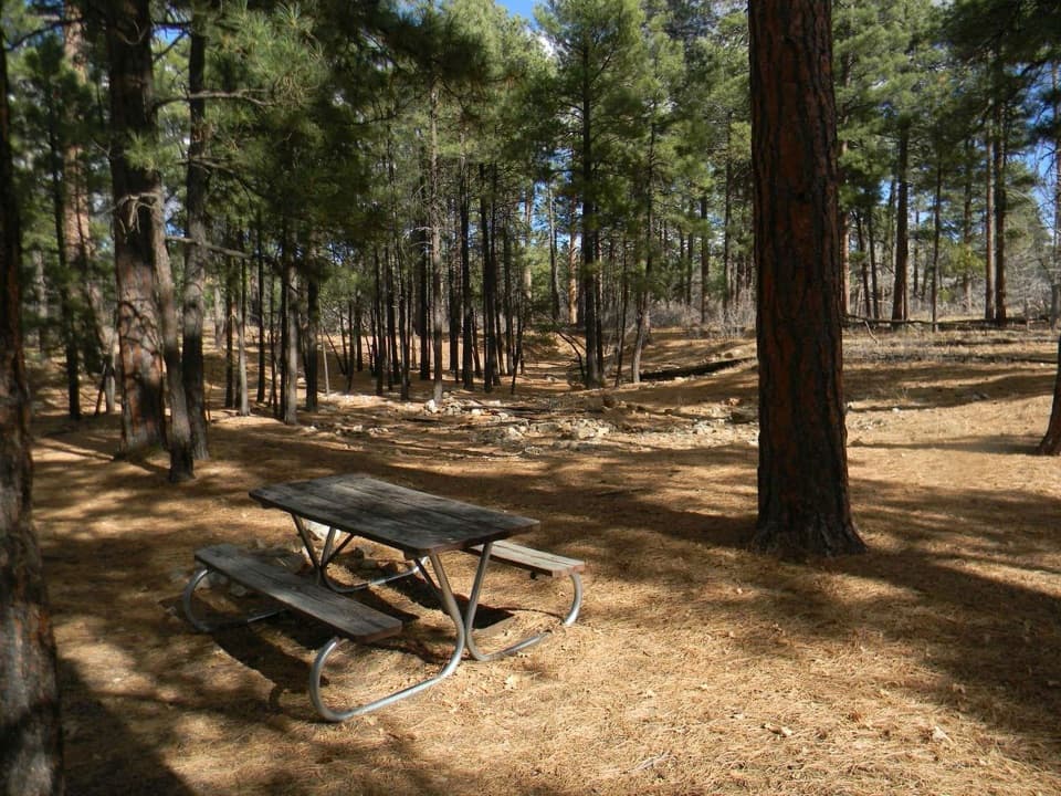 Picnic area · 2.7 mi awayLong Jim Road Picnic AreaPine-shaded picnic tables just off Desert View Drive.
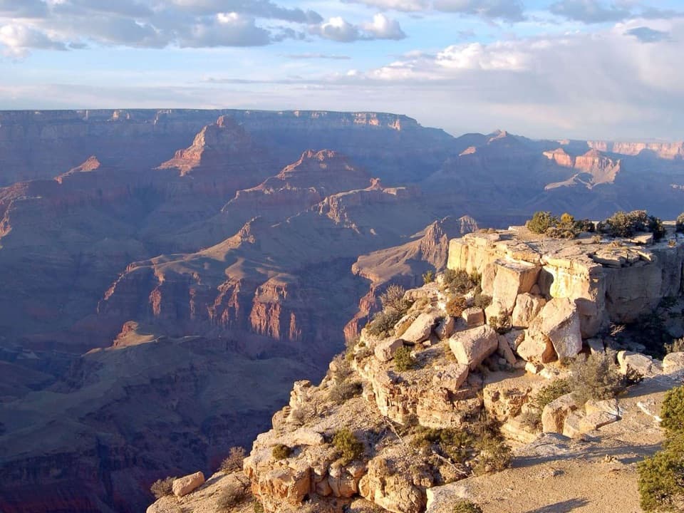 Sight · 3.6 mi awayMoran PointRead the canyon's tilted rock layers with the Colorado River below.
 Scenic pullout · 3.7 mi awayTwin OverlooksTwo quick pullouts for a big canyon view from the road.
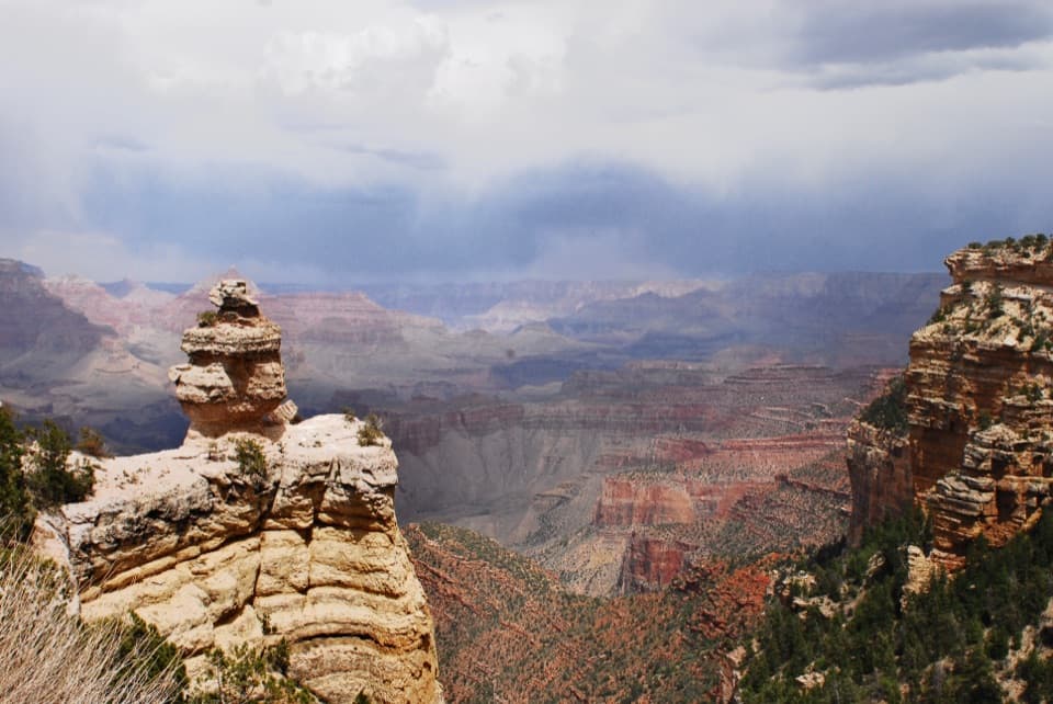 Scenic pullout · 4.5 mi awayDuck on a RockA named rock profile makes this quick canyon pullout memorable.Sight · 5.2 mi awayShoshone PointA two-mile forest walk leads to a quieter canyon-rim view.
Parkwolf’s Grand Canyon ranking
The audio tour guide for the drive, plus offline maps, trails, and wildlife heatmaps for when the signal drops.


