
Place · 0 mi away
Challenging
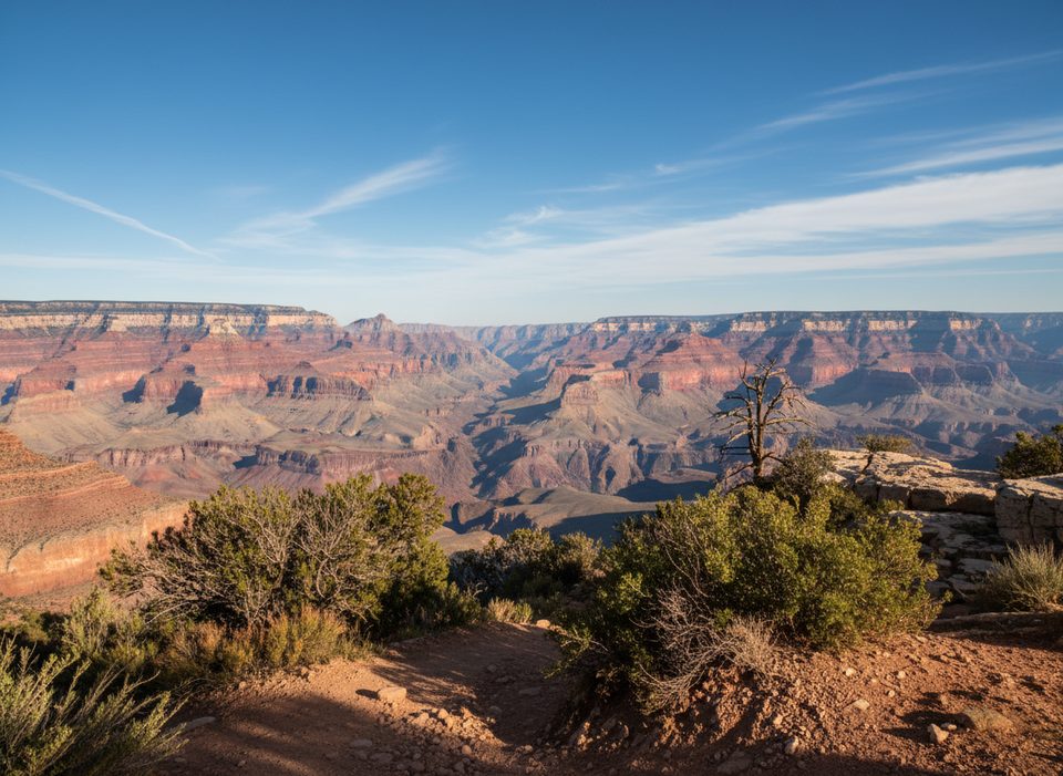
A remote, unmaintained miner’s route that drops from the Grandview Trail near Horseshoe Mesa into the Cottonwood Creek drainage. Expect big Grand Canyon views, a surprising riparian corridor, and a true wilderness feel—this is a cairn‑to‑cairn route, not a groomed trail.
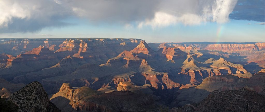
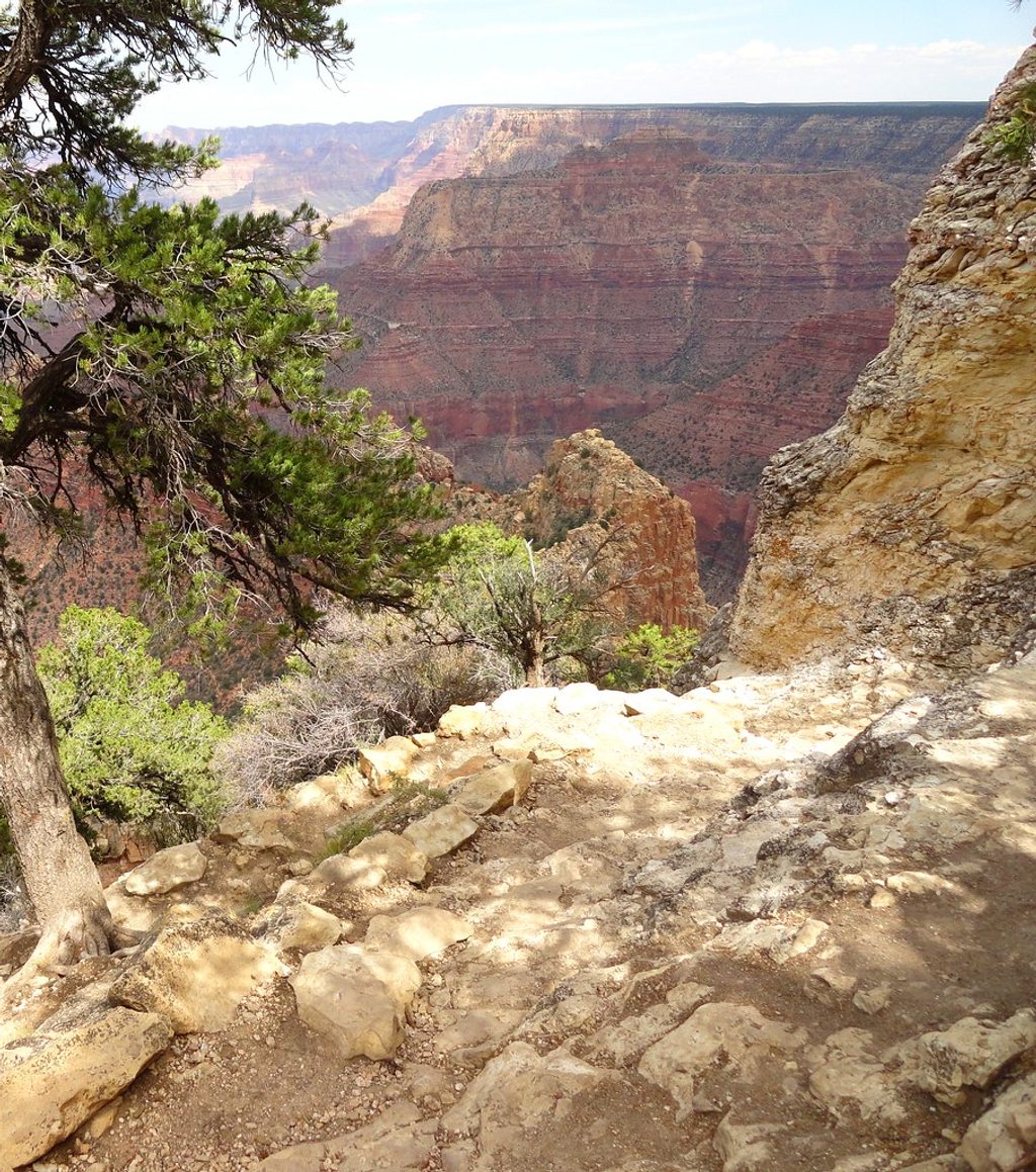
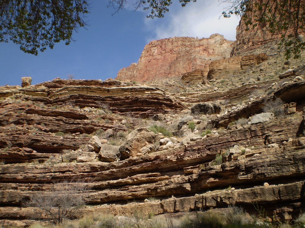
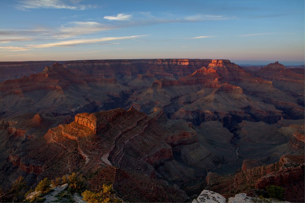
You’ll start down the historic Grandview Trail, then work across the Tonto Platform toward the mouth of Cottonwood Creek. From there, the descent follows an old route marked by cairns. The canyon opens and closes around you with layered geology (Tapeats, Muav, Redwall) framing the way, and the creek corridor adds a rare splash of green with cottonwoods and occasional pools after rains. Mining-era relics still linger in the Grandview/Horseshoe Mesa zone, adding texture to the day.
The route includes pour‑overs and short scrambles—non‑technical, but hands-on and exposed in places. Footing is loose at times, and the “trail” can vanish into bedrock and wash; you’ll be reading terrain and seeking cairns rather than following tread. Solitude is the norm and cell service is unreliable.
Plan on roughly 6.6 miles total (out and back to the creek via Grandview and the Tonto). Mileage varies a bit with exact turnarounds and wandering in the wash, but the day feels longer than the number suggests due to steep grades and route finding.
This is advanced Grand Canyon hiking. The descent is steep; the return is a grind. Expect loose rock, exposure, intermittent cairns, and a few short scrambles around pour‑overs. Heat is the big hazard—there’s little shade and the route bakes early. In winter, the upper Grandview’s cobbled tread can ice up and turn slick.
Cottonwood Creek is intermittent and seasonal—never count on it. If you find water, treat or filter it. No permit is needed for day hiking. Overnight trips require a Grand Canyon backcountry permit.
Spring and fall offer the sanest temperatures and the best odds for some creek flow. Summer heat makes this route dangerous for most hikers; start pre‑dawn if you insist on a warm‑season attempt. Winter can be excellent for cool temps, but be ready for ice up high.
On the Tonto, look for a large cairn on the west side of the mouth of Cottonwood Creek that marks the start of the lower descent. Expect scattered cairns below, not signage. Bring solid maps and/or GPS—this is managed as wilderness travel. Do not confuse this route with Cottonwood Camp on the North Kaibab (a completely different place).
If you want a rugged, history‑soaked slice of the inner canyon without the crowds—and you’re comfortable with route‑finding and exposure—this is a rewarding objective. If you prefer maintained, signed trails, pick another classic like South Kaibab or Bright Angel.
Access from the Grandview Trail at Grandview Point on the South Rim.
Unmaintained, cairned route with pour‑overs and short scrambles; loose footing and exposure; intermittent water; unreliable cell service; intense heat most of the year; potential ice on upper Grandview in winter. Do not confuse with North Rim’s Cottonwood Camp.
Place · 0 mi away
Place · 1.9 mi away
Place · 3.6 mi away
Place · 4.5 mi away
Challenging · 0 mi away
Challenging · 0 mi away
Challenging · 0 mi away
Easy · 5.2 mi away

Parkwolf Tour Guide
