
Place · 0 mi away
Challenging
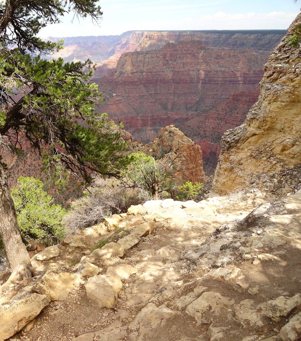
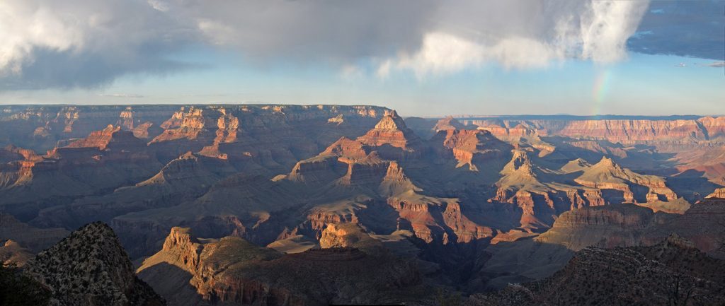
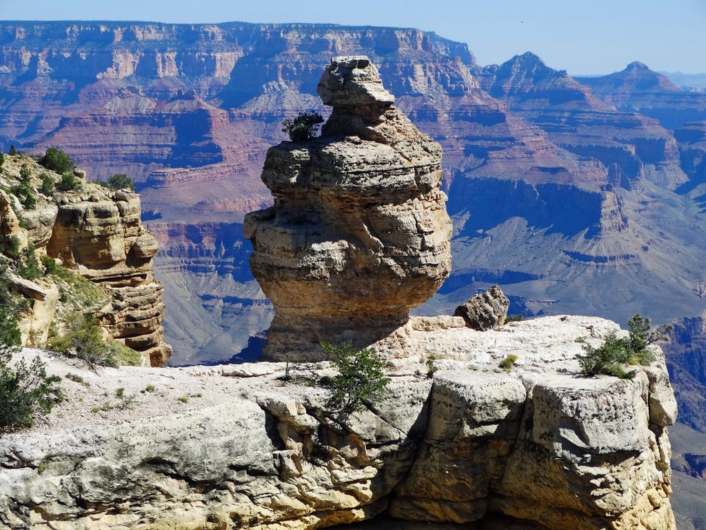
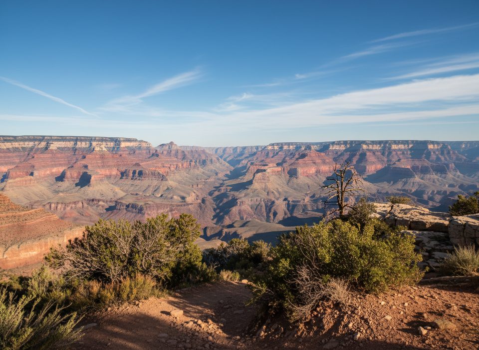
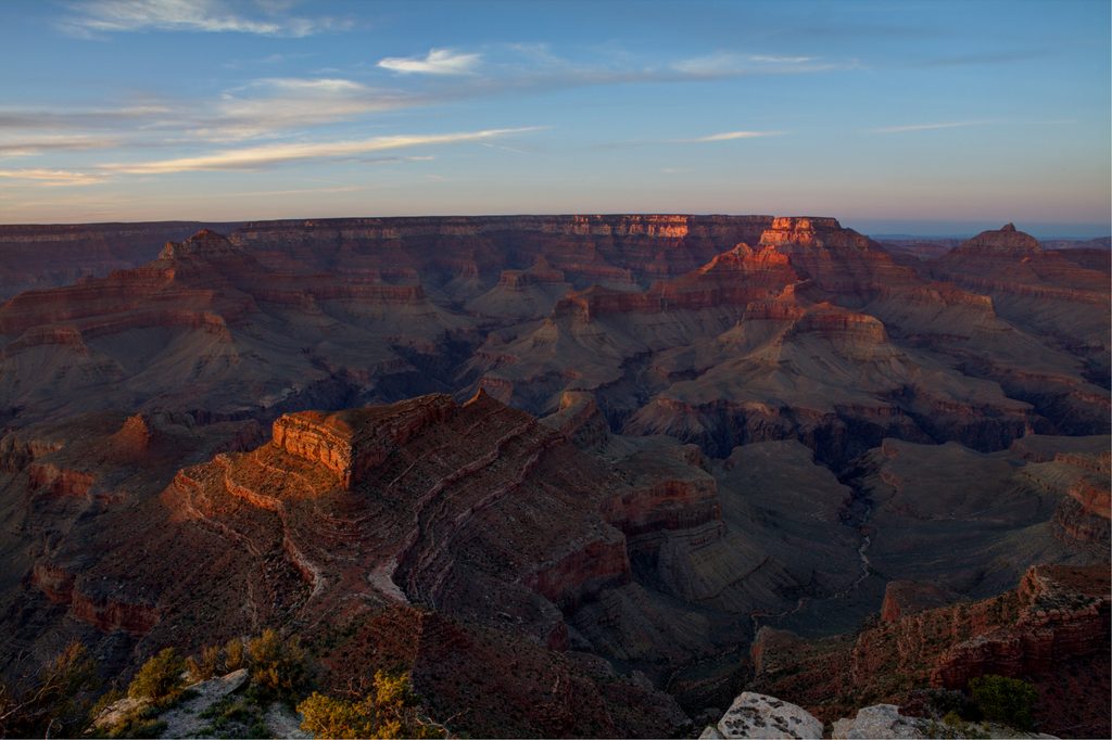
If you like your Grand Canyon hikes steep, scenic, and light on crowds, Grandview is your move. Built in 1893 by miner Pete Berry, this route drops fast from Grandview Point via cobbled switchbacks, wooden cribbing, and narrow ledges—ingenious cliffside engineering that still holds up. Views are massive from the first steps and only get better as you angle toward the broad expanse of Horseshoe Mesa sprinkled with mining relics.
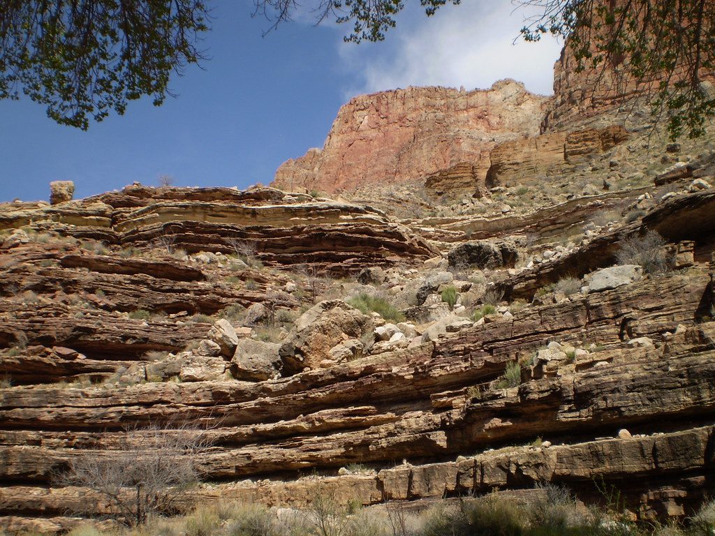
Plan on about 6.0 miles round trip to Horseshoe Mesa (roughly 3.0 miles each way). It’s an out‑and‑back, and all the pain is front‑loaded on the return: you’ll regain roughly 2,500 feet to the rim. Underfoot you’ll find historic cobbles, bedrock, and loose rock. The trail is steep, exposed, and not regularly maintained or well signed, with big steps and drop‑offs—this is tougher and more rugged than the corridor trails.
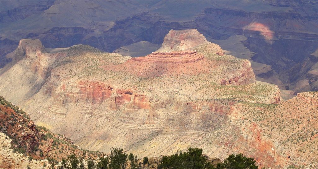
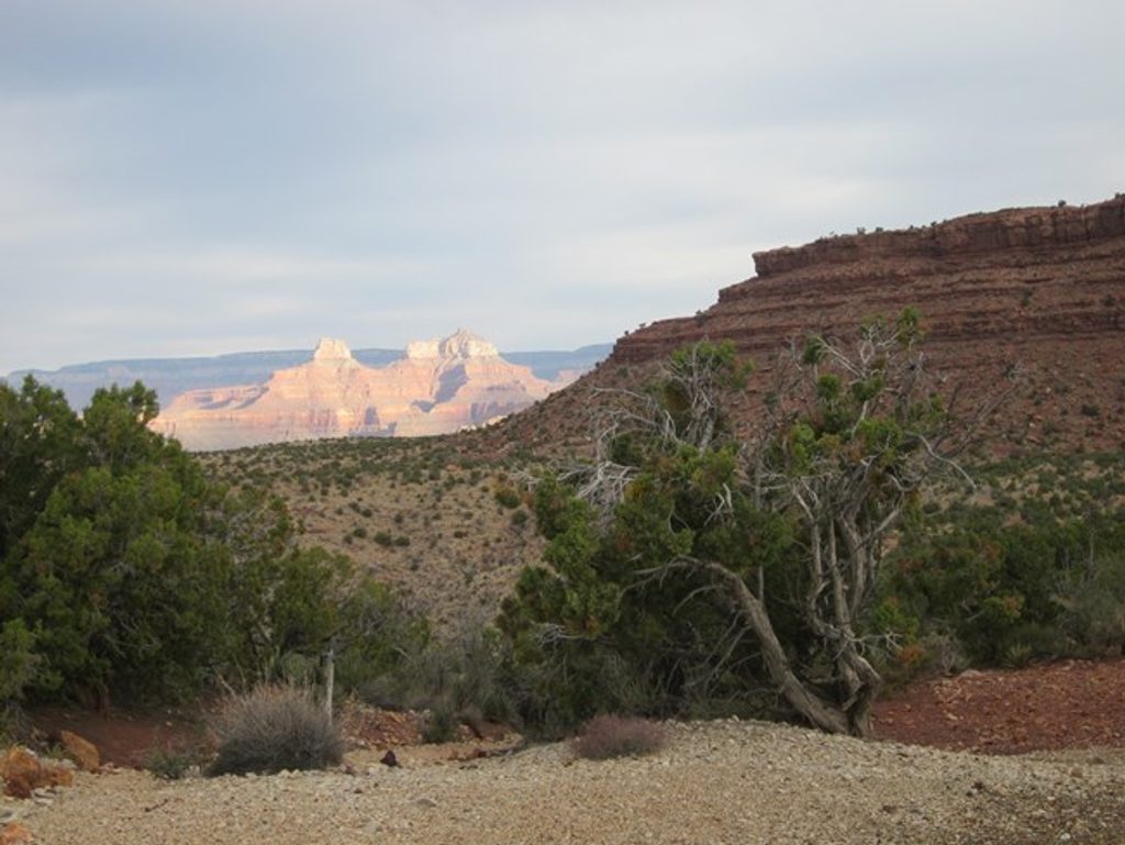
You’ll move from rim‑top pine, juniper, and oak into open, sun‑blasted slopes with uninterrupted vistas of the Inner Canyon and glimpses toward the Colorado River. On Horseshoe Mesa, take time to explore the mining history: old equipment, the cookhouse site, and Pete Berry’s era relics. Mine shafts are off‑limits. A side trip on use trails leads to Cave of the Domes, the park’s only cave open without a permit. Leave everything as you found it.
Spring and fall are the sweet spot—cooler temps, more manageable effort, and fewer icy hazards. Summer heat here is no joke and exposure is constant; start pre‑dawn if you go. In winter, the upper trail can be icy and hazardous. Early starts year‑round help with temperatures, lighting, and turnaround margin.
There is no water on the trail or on Horseshoe Mesa. Springs below the mesa are unreliable—carry everything you need. This route is not recommended for children or anyone uncomfortable with exposure. Check in with the park’s Backcountry Information Center for current trail and water reports, and turn around if conditions or energy aren’t right. Day hikes need no permit; any overnight below the rim requires a backcountry permit. Experienced backpackers can connect from the mesa to longer inner‑canyon routes, but that’s beyond a casual day hike.
Park at Grandview Point on Desert View Drive (AZ 64); the trail drops directly from the viewpoint area.
Very steep, exposed, and rocky with big steps; not regularly maintained or well signed. No water—carry all you need. Summer heat and winter ice are serious hazards. Keep out of mine shafts; leave relics undisturbed.
Place · 0 mi away
Place · 1.9 mi away
Place · 3.6 mi away
Place · 4.5 mi away
Challenging · 0 mi away
Challenging · 0 mi away
Challenging · 0 mi away
Easy · 5.2 mi away

Parkwolf Tour Guide
