
Place · 0 mi away
Challenging
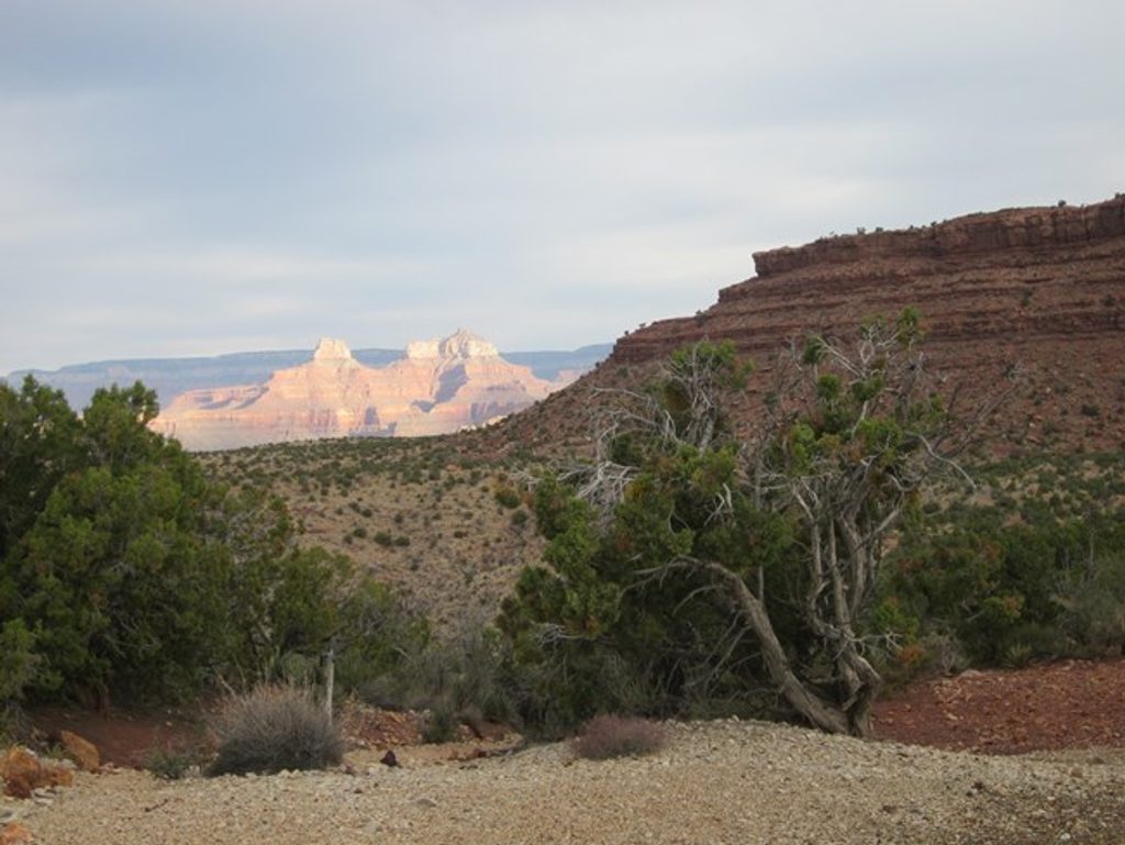
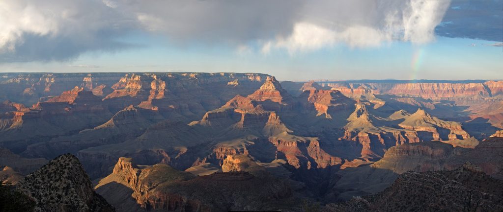
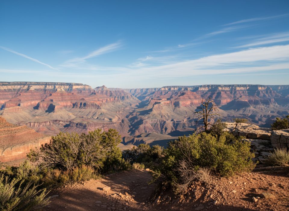
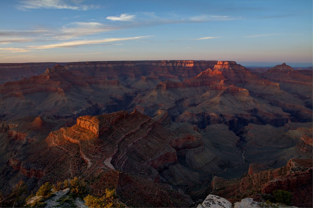
This is the Grand Canyon you earn. Starting at Grandview Point on the South Rim, you drop fast on the historic Grandview Trail to reach Horseshoe Mesa—a broad, battleship‑deck of a plateau with sweeping 360‑degree views and a palpable sense of isolation. It’s roughly 6 miles total, out‑and‑back, with about 2,500 feet of knee‑testing descent you’ll pay back on the return. Figure 4–6 hours for most day hikers.
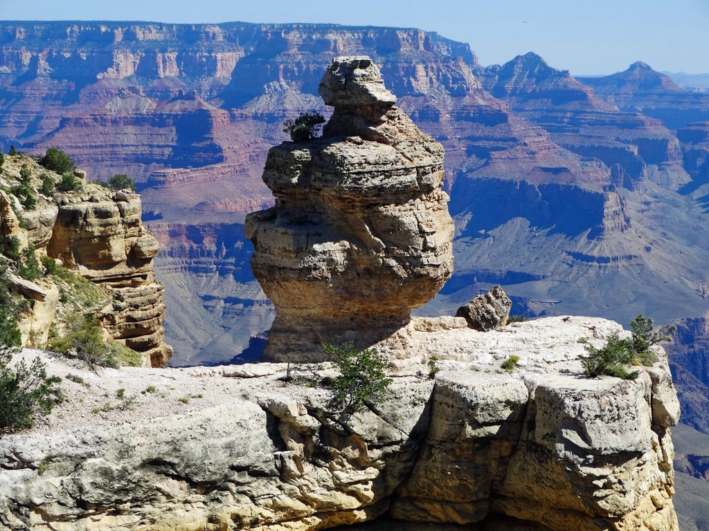
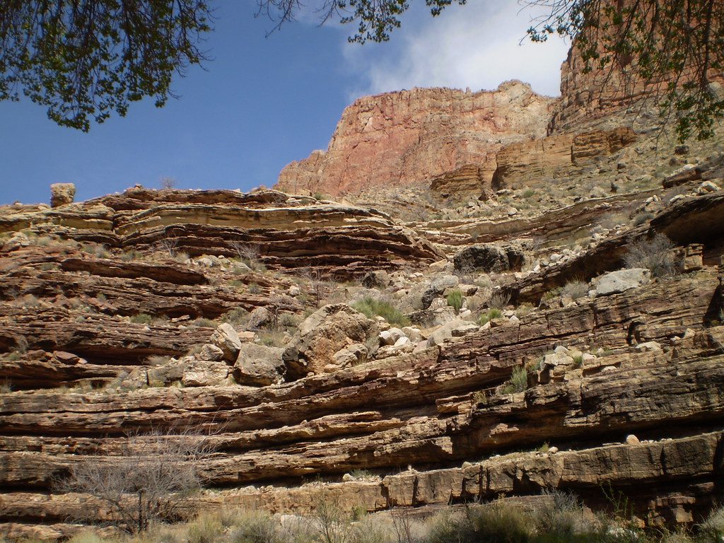
As you descend, the trail cuts through classic Grand Canyon geology—Coconino Sandstone, the Supai Group, and Redwall Limestone—and onto a mesa striped in color. The mesa holds remnants of the late‑19th‑century copper rush: the Last Chance Mine, old trail cribbing, and scattered equipment. On the west side sits Cave of the Domes, the only open‑access cave in the park—bring a headlamp and expect dust.
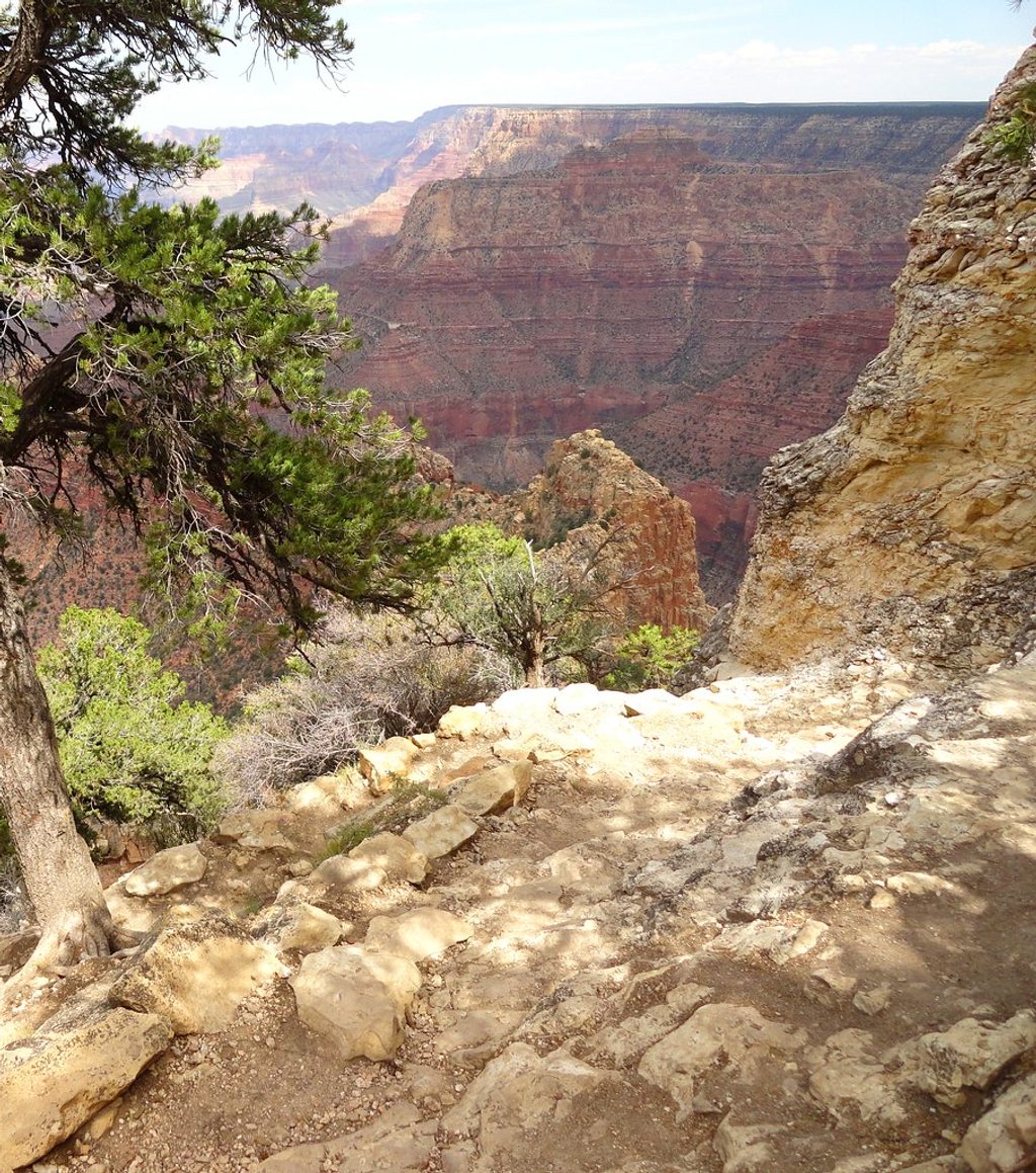
This route is steeper, narrower, and rougher than the park’s corridor trails. Expect rocky cobblestone tread, tight switchbacks, wooden cribbing, occasional washouts, and some exposure. It’s beautiful and adventurous—but not beginner‑friendly. Solitude is a perk compared to Bright Angel or South Kaibab.
From Grandview Point, descend to a signed junction near the bend of Horseshoe Mesa (about 2.5 miles from the rim). Day hikers typically explore the mesa’s edges and historical sites. Strong parties sometimes continue east to Page Spring (Cottonwood Creek) or down the Hance Trail toward the river, or west from the mesa to connect with the Tonto Trail—serious undertakings. There’s no reliable water on the mesa; Page Spring is a steep side trip if you need to refill (treat all water). Primitive campsites and a toilet are on/near the north side of the mesa; overnight trips require a backcountry permit.
Spring and fall are the sweet spot—milder temps, safer footing. Summer heat can be brutal with minimal shade; start at dawn if you go then. In winter, snow and ice on the upper switchbacks make traction a real concern.
This landscape is the ancestral homeland of Indigenous peoples including the Hopi, Hualapai, Paiute, and Navajo—travel respectfully.
Park at Grandview Point on Desert View Drive (about 12 miles east of Grand Canyon Village); the trail drops from the overlook.
Hard, exposed descent with loose cobbles and narrow sections; no shade or water on the mesa; extreme summer heat and icy winter conditions; stay on the signed route and do not disturb mining artifacts; bring a headlamp if entering Cave of the Domes.
Place · 0 mi away
Place · 1.9 mi away
Place · 3.6 mi away
Place · 4.5 mi away
Challenging · 0 mi away
Challenging · 0 mi away
Challenging · 0 mi away
Easy · 5.2 mi away

Parkwolf Tour Guide
