
Place · 0.2 mi away
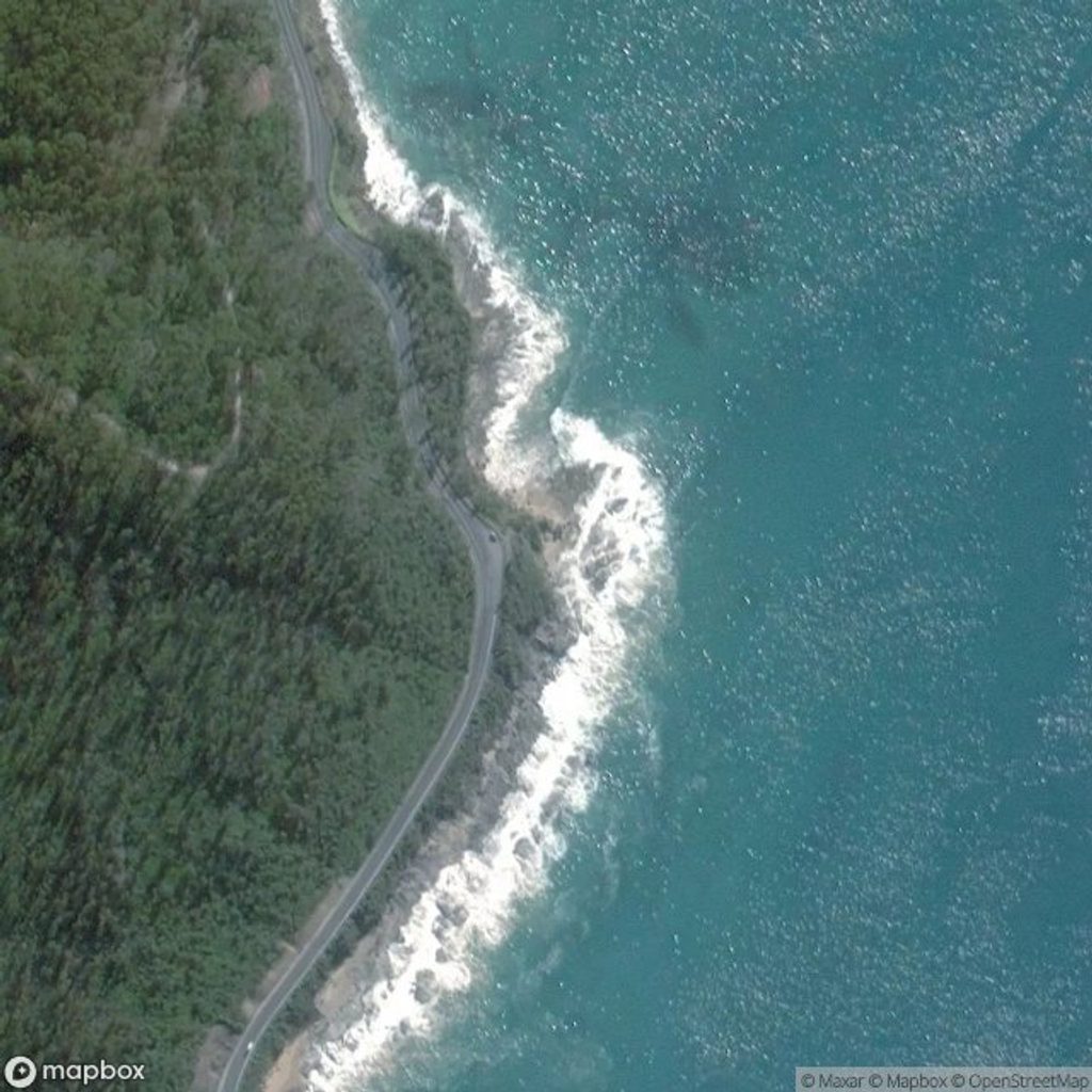
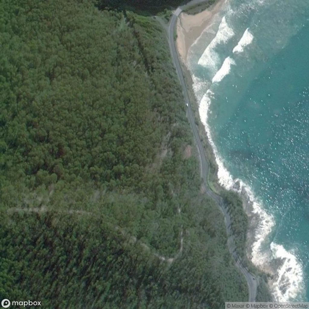
Magic Rock is a dramatic coastal limestone formation best admired from the clifftops. It’s the antidote to the crowded roadside viewpoints—wild ocean, wind in your ears, and almost no one around. The trade‑off: it’s unofficial, unsigned, and completely undeveloped.
Most visitors navigate by searching the name in a maps app, then parking at an unmarked roadside pull‑off beside a fence. From there, follow a sandy, scrubby track. Early on, keep the fence line on your right; the path narrows through taller scrub, opens to fields, then trends left and downhill toward the sea with the shoreline on your left to reach the clifftop vantage.
From the common pull‑off, expect roughly 30–45 minutes one way to the main overlook—the sandy sections are slower than they look. A longer mapped variant runs about 7.7 km return with roughly 94 m of total elevation gain and takes around 1.5–2 hours. Either way, the reward is the view rather than the walk itself.
Do not attempt to scramble down to the rock. These limestone cliffs are eroding and unreliable, and there’s no fencing. Go on a low‑wind, dry day, keep well back from the edges, and avoid visiting after heavy rain or during big swell. Respect fences and private property; stay on existing tracks.
This spot is all about watching powerful Southern Ocean swells detonate around the rock from a lofty, secluded perch. Don’t expect much wildlife on the approach—the payoff is the sea drama and solitude.
Golden hour gives the best color and contrast. A longer lens helps compress the waves against the rock. Sea spray is common, so bring a cloth for your lens.
Aim for early morning or late afternoon for softer light and calmer winds. It’s rarely busy, but weekdays are even quieter. Skip blustery days; with no shade, midday can be harsh and glary.
Sturdy shoes for sand and loose rock, a windproof layer, plenty of water, sun protection, and offline maps.
Place · 0.2 mi away
Place · 1.2 mi away
Place · 2.4 mi away
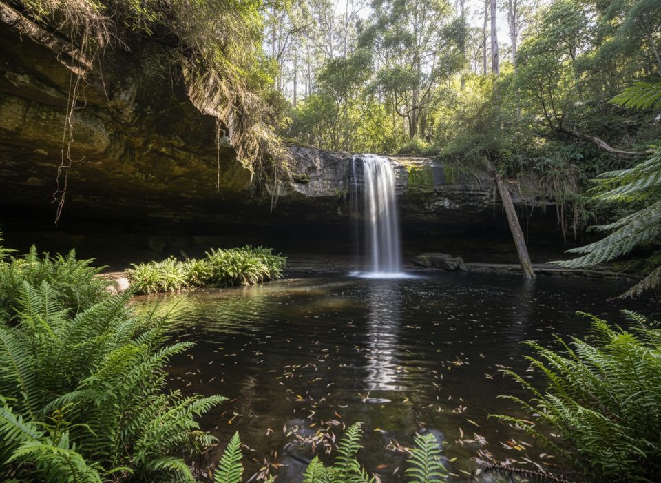
Place · 2.7 mi away
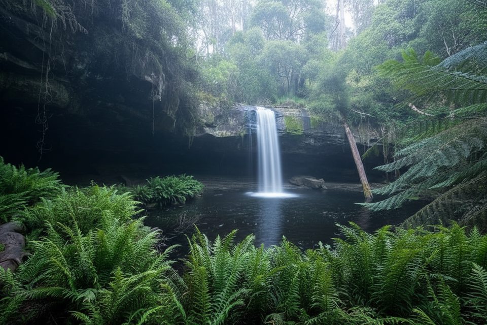
Moderate · 3.4 mi away
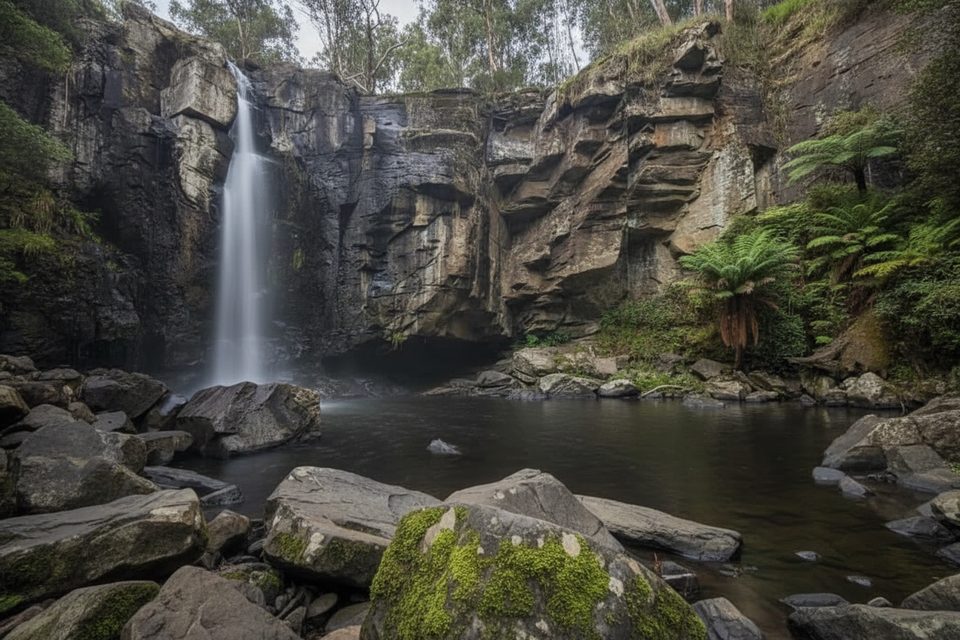
Moderate · 3.4 mi away
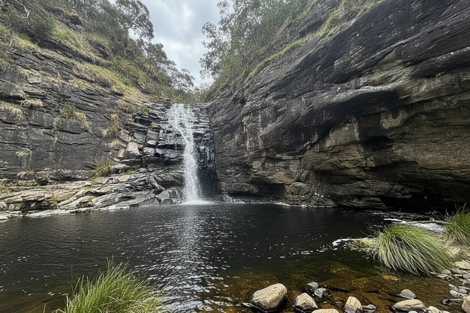
Moderate · 3.4 mi away
Easy · 3.4 mi away

Parkwolf Tour Guide
