Worm Bay in Great Ocean Road

Beach · Great Ocean Road

Worm Bay

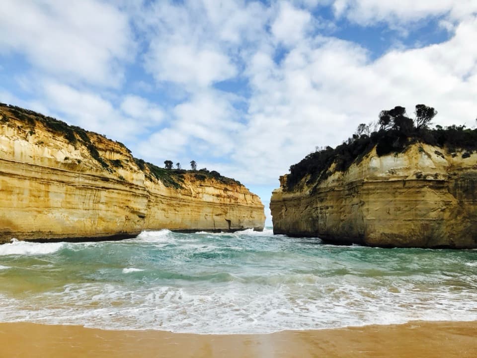
A short stair descent reaches a small cove beneath limestone bluffs.

Photo: Wikimedia Commons
Type
Beach
Nearest trail
1.3 km
Audio stories
3 nearby
  • Parking

Hear the audio tour

Bay of Martyrs and Worm Bay

Overview

About Worm Bay

Why stop

  • A compact sandy cove framed by limestone cliffs.

Heads up

  • Steep steps; beach access isn’t step-free.

Map

Where it is

Loading the Great Ocean Road map
Full map
BeachWorm Bay-38.60091, 142.85856
Keep this map with you offline in the Parkwolf app

Plan your stop

Before you go

7 active Great Ocean Road alerts

  • ClosureLorne-area walking trails closed after flood and storm damageSeveral walking trails near Lorne remain closed; do not enter closed tracks. - Phantom Falls Walk is temporarily closed because flood and storm damage affected the trail and structures.Official details
  • ClosureWye Road closed after storm and flood damageWye Road is closed until further notice for road maintenance and repairs following storm and flood damage; do not use the road. Check current Great Otway National Park conditions before travelling.Official details

See all 7 alerts
A park ranger sits on a dash-mounted phone, talking, as Parkwolf’s Tour Guide plays “Army Cutworm Moths: A Grizzly Bear Buffet” on Grand Loop Road below Dunraven Pass in Yellowstone
Parkwolf Tour GuideThe highest, rockiest slopes around here are a summer buffet for grizzly bears.

Great Ocean Road Tour Guide

Your drive to Worm Bay, narrated.

Parkwolf is a GPS audio tour guide for Great Ocean Road. As you drive, it chimes in with what’s ahead: hidden gems, upcoming stops, history, geology, and wildlife, right through your car’s speakers.

See the Great Ocean Road audio tour

Recorded for this place

Bay of Martyrs and Worm Bay
0:00 / 0:31
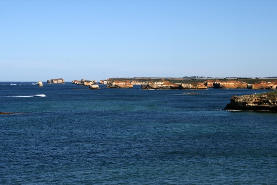
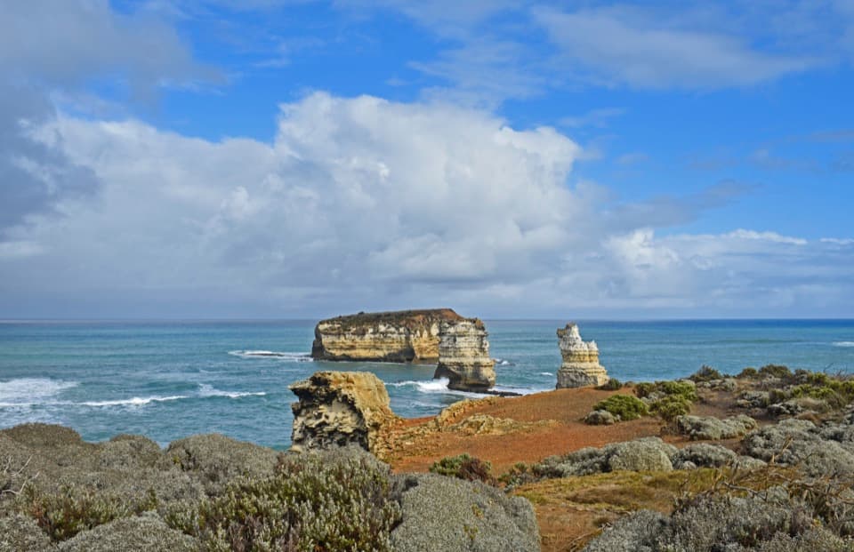
“You're nearing Bay of Martyrs, where red limestone bluffs curve around the bay with reefs and stacks offshore.”

Plays as you drive up to Worm Bay in the Parkwolf Great Ocean Road Tour Guide.

More stories near here in the app

  • Halladale Walking Track
  • A Sea Squirt's Two Siphons
  • Bay of Islands Lookout
  • A Falcon’s Hunting Dive
  • 181 audio storiesacross Great Ocean Road’s roads, triggered by GPS as you drive
  • Wildlife heatmapsfor Koala, Kangaroo, Little Penguin, and 13 more
  • Works offlinemaps, 109 trails, 99 places, and audio download before you lose signal
  • CarPlay readysimple controls built for the drive
★★★★★
“Fantastic app with many points of information… It’s great to just turn on while you’re driving and it gives you an audio tour of the national Park. We love it!!!!”
JMJamesApp Store review
Download Parkwolf on the App StoreGet Parkwolf on Google Play

4.7 from 8,600+ ratings

Guide

More about Worm Bay

A small cove below the limestone bluffsWorm Bay is a roughly 100-metre pocket beach east of Bay of Martyrs, where a break in the…

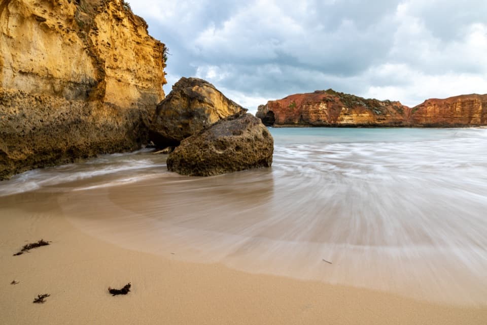
Worm Bay is a roughly 100-metre pocket beach east of Bay of Martyrs, where a break in the limestone cliffs opens onto a crescent of sand. It’s a worthwhile short detour if you want to get down to the water; if you’re collecting big coastal lookouts, this is a quieter change of pace rather than another grand panorama.

Getting down to the sandUse the nearby access and parking area, then descend the wooden steps.

Use the nearby access and parking area, then descend the wooden steps. The beach pin is on the sand, not a drivable arrival point. The steps are short but steep, so this isn’t step-free access. The limestone bluffs can be unstable, so keep clear of their edges.

Look across the coveHigh cliffs wrap around the beach.

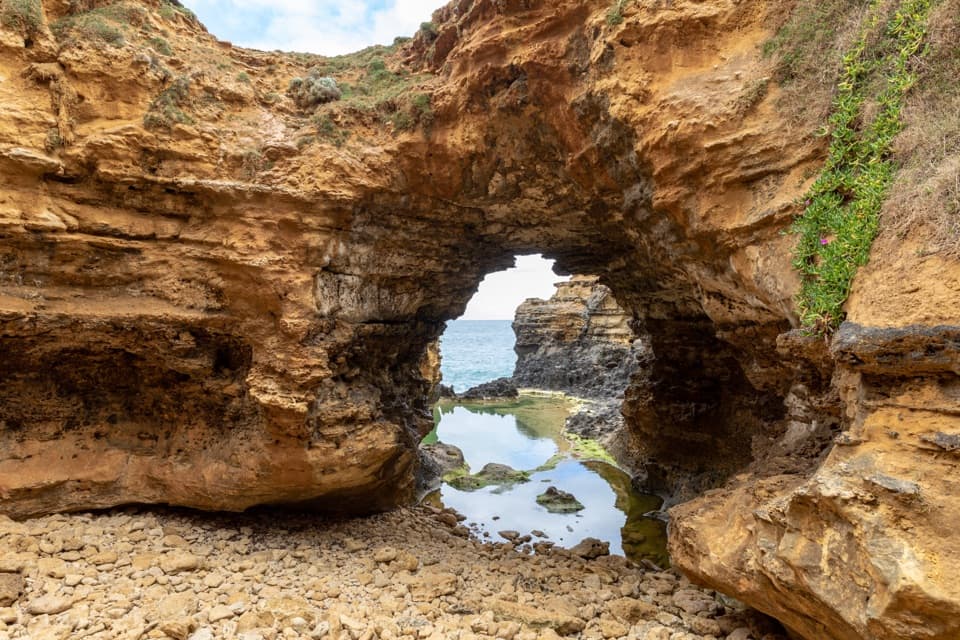
High cliffs wrap around the beach. At the western end, an overhang makes a cave-like shaded pocket, especially in afternoon sun. Look offshore for the Bay of Islands stacks in the distance. Waves can sweep around the eastern corner, and the cove feels more exposed in a southerly wind.

Treat the water as a paddling stopThe beach is unpatrolled, and local guidance warns of rips and recommends paddling rather than…

The beach is unpatrolled, and local guidance warns of rips and recommends paddling rather than swimming. Its sheltered shape doesn’t make it a swimming beach; conditions can change across the cove.

Frame the cliffs and stacksFrom the sand, use the western overhang as a foreground for the curved cliffs and distant…

From the sand, use the western overhang as a foreground for the curved cliffs and distant stacks. From the access, the stairs make a leading line through coastal shrubs. Local guidance points to summer sunsets for photos.

Wildlife

Wildlife in Great Ocean Road

All Great Ocean Road wildlife maps

Sighting maps show where each species has been reported across Great Ocean Road. Wildlife moves, so no sighting is guaranteed.

Parkwolf’s Great Ocean Road ranking

Top sights in Great Ocean Road

All 99 places
  1. 1The Twelve ApostlesSight
  2. 2Loch Ard GorgeSight
  3. 3Cape Otway LightstationSight
  4. 4Bells BeachBeach
  5. 5Gibson StepsSight
  6. 6London BridgeSight

Take Parkwolf to Great Ocean Road.

The audio tour guide for the drive, plus offline maps, trails, and wildlife heatmaps for when the signal drops.

4.7 from 8,600+ ratings

Download Parkwolf on the App StoreGet Parkwolf on Google Play