Parking
Start at the walking-track entry on Macs Street beside Peterborough Golf Course. Bay of Martyrs car park also reaches the walk; intermediate lots are small and have narrow, rough access tracks.
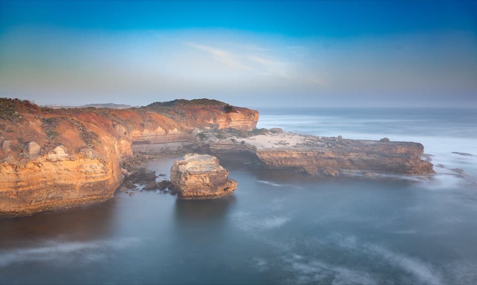
Great Ocean Road, VIC
Coastal heath, wreck reefs, and a looping walk past small coves.
Overview
Halladale Walking Track is a 4.96 km coastal loop from Peterborough's golf-course edge, past Halladale Point and the offshore wreck reefs, around the Bay of Martyrs coves, then back. It's a good pick for a half-day coast walk with several chances to look down at the water or take the steps to a beach. Allow about 1½ hours, or closer to two if you explore the beaches. The park visitor guide lists a 4 km return walk; this mapped loop follows the longer line.
 Parkwolf’s verdictIs this the walk for you?
Map & elevation
Plan your hike

The highest, rockiest slopes around here are a summer buffet for grizzly bears.
Great Ocean Road Tour Guide
Parkwolf is a GPS audio tour guide for Great Ocean Road. As you drive, it chimes in with what’s ahead: hidden gems, upcoming stops, history, geology, and wildlife, right through your car’s speakers.
See the Great Ocean Road audio tourRecorded for this trailhead
Halladale Walking Track“Up ahead is the Macs Street access to Halladale Walking Track, beside Peterborough's golf course. The roughly five-kilometre loop takes about ninety minutes through coastal heath, with reef views and some uneven footing.”
Plays as you drive up to this trailhead in the Parkwolf Great Ocean Road Tour Guide.
More stories near here in the app
“Fantastic app with many points of information… It’s great to just turn on while you’re driving and it gives you an audio tour of the national Park. We love it!!!!”


Trail guide
Start at the Macs Street entry beside the golf course. The track runs through low coastal heath, opening to lookouts over the Southern Ocean. Around Halladale Point it skirts the reefs, then winds past Worm Bay and Crays Beach to the Bay of Martyrs car park and beach access before looping back. The main track is compacted gravel and mostly firm, but it narrows and gets uneven in places; beach branches have steps.
The Falls of Halladale, a four-masted iron sailing ship built in Scotland, wrecked on the reefs here in 1908. Its site is offshore, so look for the reef line and the way waves break around it rather than expecting to see a ship on the seabed. Halladale Point is the walk's best place to stop and take in the coastline; frame some of the jagged reef with the sea behind it.
Keep an eye on the heath for Rufous Bristlebirds darting through the scrub. Hooded Plovers nest on nearby beaches, and short-beaked echidnas and southern brown bandicoots are possible sightings. The small frog ponds beside the track are easy to miss until you hear them.
Steps lead to coves including Worm Bay and Bay of Martyrs. Beach walks can be cut off by an incoming tide, so check the way back before descending. These cliffs can crumble without warning; stay on marked tracks and lookouts. Dogs on leash are allowed on the walking track, but not on Bay of Martyrs beach.
Wildlife
 900 sightingsKoalaMost seen around 5 PMSighting map
 358 sightingsKangarooMost seen around 6 PMSighting map
 49 sightingsLittle PenguinMost seen around 8 PMSighting map
 155 sightingsEchidnaMost seen around 6 PMSighting map
 33 sightingsFur SealMost seen around 6 PMSighting map
 59 sightingsRed-necked WallabyMost seen around 6 AMSighting map
Sighting maps show where each species has been reported across Great Ocean Road. Wildlife moves, so no sighting is guaranteed.
Keep exploring
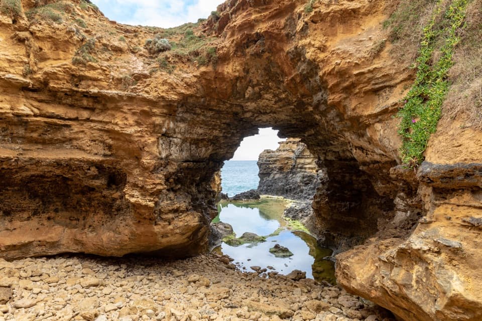 EasyThe Grotto Walk0.7 km · 30 min · 3.9 km awayA short walk to a limestone window above the Southern Ocean.
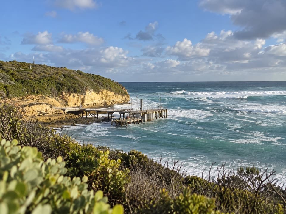 ModeratePort Campbell Discovery Walk4.4 km · 1.5 hr · 10.6 km awayA creek bridge and 191 steps open to Shipwreck Coast views
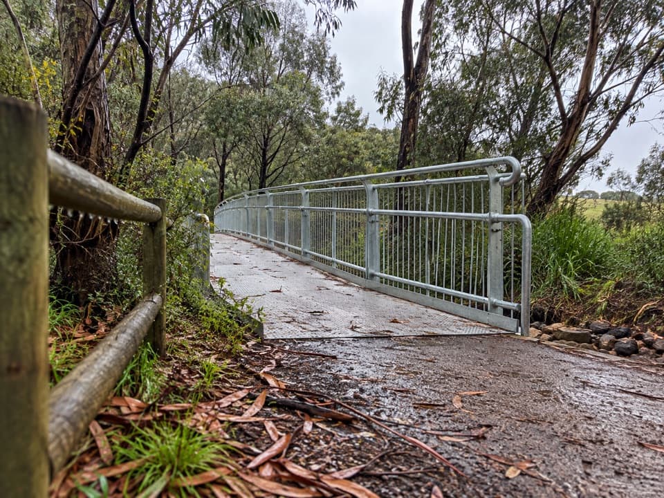 ModeratePoorpa Yanyeen Meerreeng Timboon–Port Campbell Trail19.3 km · 4.8 hr · 16.2 km awayA 19.3 km crossing from dairy country to the Southern Ocean.
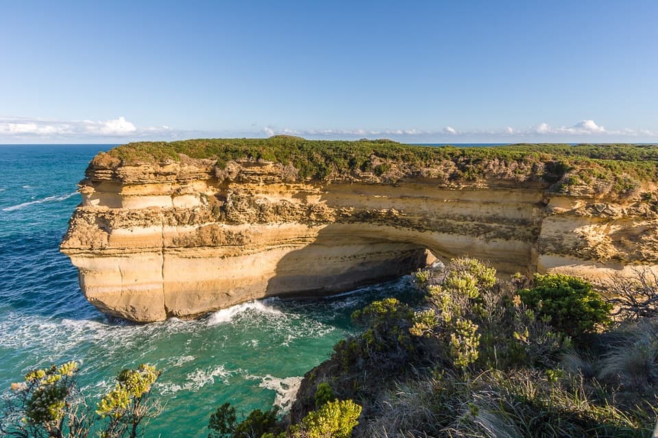 EasyLoch Ard Gorge Living on the Edge Walk3.2 km · 1.5 hr · 17.4 km awayClifftop paths link Thunder Cave, Muttonbird Island and Broken Head.
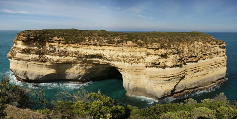 EasyLoch Ard Gorge Shipwreck Walk1.4 km · 50 min · 17.5 km awayA short cliff-top walk into the Loch Ard shipwreck story.
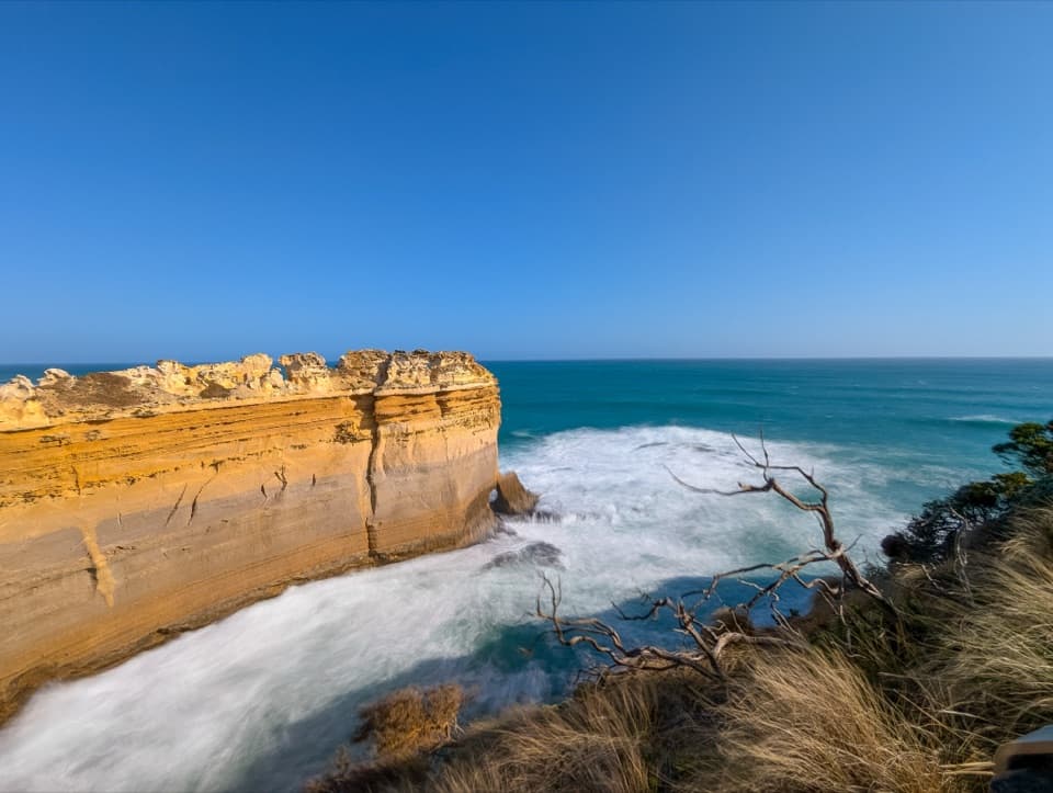 EasyLoch Ard Gorge Geology Walk0.9 km · 40 min · 17.9 km awayA level clifftop stroll to two limestone lookouts.
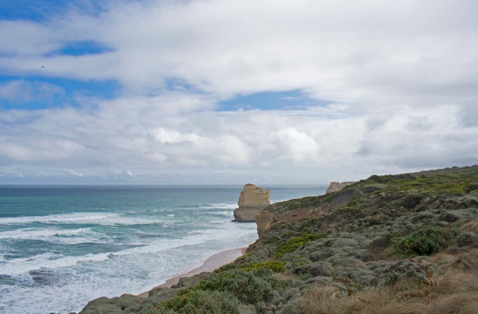 EasyTwelve Apostles to Gibson Steps Walk2.2 km · 1 hr · 21.1 km awayA short gravel out-and-back to Gibson Steps’ cliff-top view.
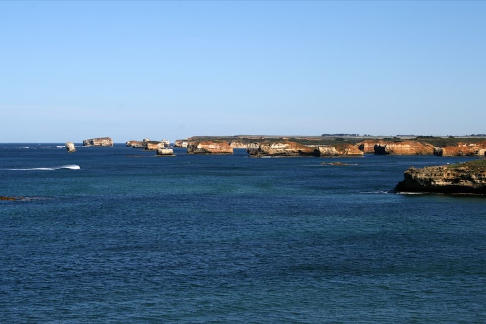 Sight · 1.3 km awayBay of MartyrsRed limestone bluffs and sea stacks at a quieter coastal lookout.
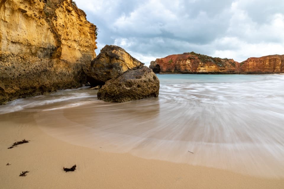 Beach · 1.3 km awayWorm BayA short stair descent reaches a small cove beneath limestone bluffs.Sight · 3.9 km awayThe GrottoA sea-facing limestone window at the end of a short, stair-stepped walk.
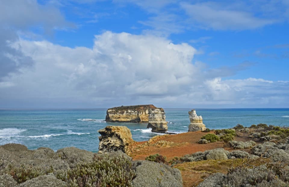 Sight · 4.7 km awayBay of Islands LookoutA quick detour for limestone stacks and Southern Ocean surf.
 Sight · 5.5 km awayLondon BridgeAn offshore arch with a collapse story and two coastal views.
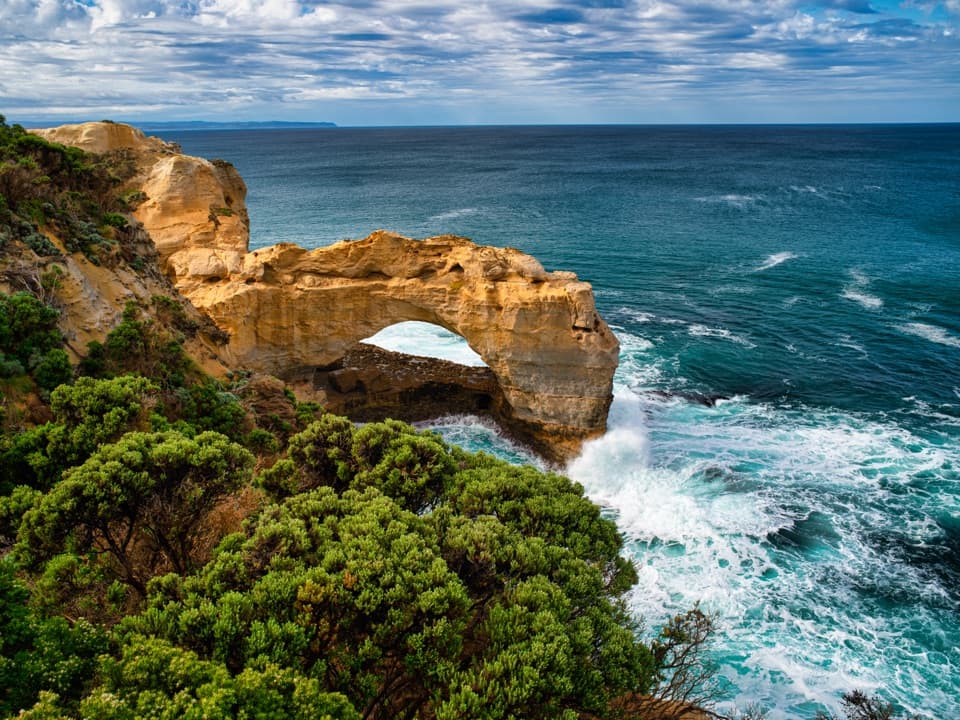 Sight · 6.5 km awayThe ArchSouthern Ocean waves keep cutting this limestone arch.
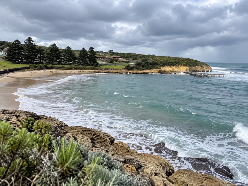 Beach · 10.5 km awayPort Campbell BeachA sheltered bay, short jetty, and grassy picnic stop.
 Visitor center · 10.8 km awayPort Campbell Visitor Information CentreBorrow a telescope, then see the coast through its shipwrecks.
Parkwolf’s Great Ocean Road ranking
The audio tour guide for the drive, plus offline maps, trails, and wildlife heatmaps for when the signal drops.





