Parking
Use the Liberty Gate access north of the park near Crestone. Start on foot along the sandy road beyond the gate; parking capacity and facilities at the access were not verified.

Great Sand Dunes National Park, CO
A faint creek route for confident backcountry navigators.
Overview
Map & elevation
Plan your hike

The highest, rockiest slopes around here are a summer buffet for grizzly bears.
Great Sand Dunes Tour Guide
Parkwolf is a GPS audio tour guide for Great Sand Dunes National Park. As you drive, it chimes in with what’s ahead: hidden gems, upcoming stops, history, geology, and wildlife, right through your car’s speakers.
“Fantastic app with many points of information… It’s great to just turn on while you’re driving and it gives you an audio tour of the national Park. We love it!!!!”


Trail guide
Deadman Creek Trail is a remote out-and-back from Liberty Gate into the upper Deadman Creek drainage. The mapped line is about 7.4 miles each way, or 14.8 miles round trip including the approach. It starts on sandy access road, follows a rough branch into the drainage, then climbs on a faint path beside the creek. Expect a full day, around 10 hours, with roughly 2,600 feet of sampled elevation gain. This is for experienced backcountry hikers who can navigate and turn around without a signed endpoint; it is not a maintained day-hike route.
The last detailed trip account described about two miles on sandy road from Liberty Gate before an unsigned turn. The mapped route includes a rough spur before reaching the named creek path, so the exact distance to that turn is uncertain. For much of the creek section, hikers traveled above the north bank, crossing to the south side and back once. That account found the line hardest to follow in brush close to the water and easier higher above it. Heavy deadfall slowed travel for several stretches; farther up, the drainage widened and brush eased, though the tread remained thin.
The mapped corridor reaches about 10,400 feet, but there is no established destination or verified trail end. In the only detailed route account found, a party lost the tread around 6.5 miles into its day and continued cross-country toward Deadman Lakes and nearby peaks. Those lakes and summits are separate off-trail objectives, not part of this trail. Treat the map’s upper end as approximate, and turn back when the tread fades rather than following game paths into the high country.
Start at Liberty Gate north of the park near Crestone and walk in; the approach follows a sandy road beyond the gate. There are no verified food, toilet, or reliable water facilities on this route. A field party filtered creek water, but its flow and safety are not assured, so bring water and treatment. Pets are allowed in the preserve on a leash no longer than six feet; carry out waste.
Wildlife
 16 sightingsElkMost seen around 7 PMSighting map
 21 sightingsPronghornMost seen around 7 PMSighting map
 12 sightingsWild TurkeyMost seen around 7 AMSighting map
 153 sightingsMule DeerMost seen around 6 AMSighting map
 38 sightingsRavenMost seen around 9 AMSighting map
 15 sightingsRed-tailed HawkMost seen around 11 AMSighting map
Sighting maps show where each species has been reported across Great Sand Dunes. Wildlife moves, so no sighting is guaranteed.
Keep exploring
 ChallengingLiberty Stage Road14.8 mi · 7.5 hr · At the trailheadA long old-road walk to lower Sand Creek and Crestone views.
 ChallengingSand Creek Trail10 mi · 9 hr · 6 mi awayA full-day creek climb to alpine lakes; high water can stop you.
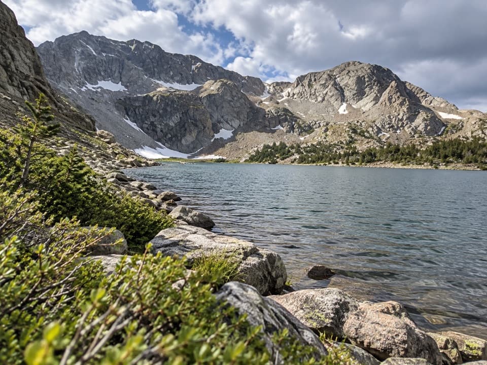 ChallengingUpper Sand Creek Lake Trail7.7 mi · 7.5 hr · 8.9 mi awayHigh alpine lake after a steep pass and loose basin descent.
 ChallengingUpper and Lower Sand Creek Lakes Hike9.9 mi · 6.5 hr · 8.9 mi awayTwo lakes beyond Music Pass, with hard miles in between.
 ChallengingLower Sand Creek Lake Trail8 mi · 6 hr · 8.9 mi awayThe steep pass opens onto a high alpine lake basin.
 ModerateMusic Pass Trail2.2 mi · 2 hr · 8.9 mi awayA steep climb to a sweeping Sand Creek basin view.
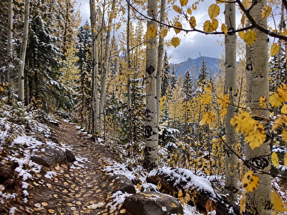 ChallengingMedano Lake Trail7.4 mi · 5.5 hr · 12.2 mi awayCreekside forest climbs to an alpine lake beneath Mount Herard.
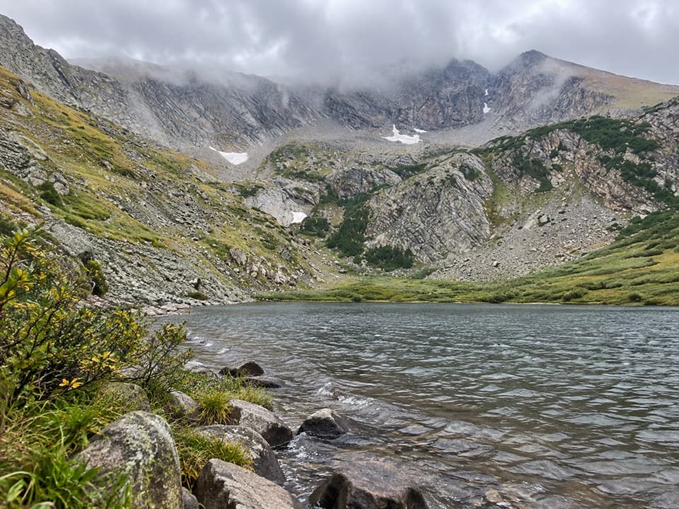 ChallengingMedano Lake via Medano Pass Primitive Road25.2 mi · 12.5 hr · 13.1 mi awayA long road-and-trail climb reaches Medano Lake beneath Mount Herard.
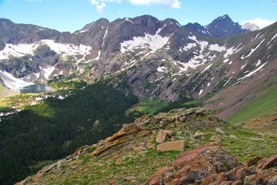 Sight · 6.3 mi awayUpper Sand Creek LakeAn alpine lake beyond Music Pass, reached by a long high-country climb.
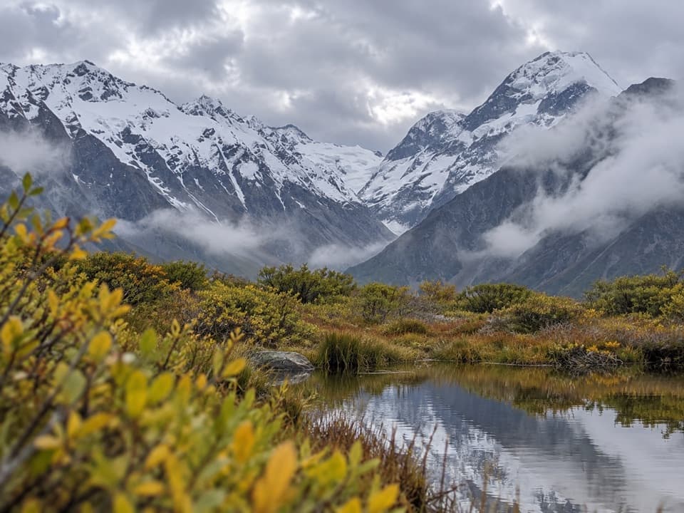 Sight · 6.4 mi awayLittle Sand Creek LakesA remote pair of alpine lakes beyond the steep Music Pass climb.
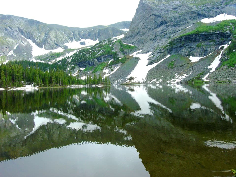 Sight · 6.6 mi awayLower Sand Creek LakeAn alpine lake past Music Pass, reached by a hard hike.
 Sight · 9.3 mi awayMount HerardA steep, remote climb earns a view over the entire dune field.
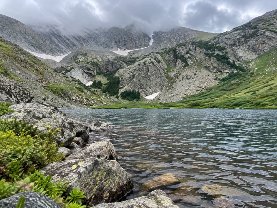 Sight · 9.6 mi awayMedano LakeA timberline lake after 2,000 feet of climbing from a 4WD road.
Parkwolf’s Great Sand Dunes ranking

The audio tour guide for the drive, plus offline maps, trails, and wildlife heatmaps for when the signal drops.
