Liberty Stage Road in Great Sand Dunes National Park

Great Sand Dunes National Park, CO

Liberty Stage Road

A long old-road walk to lower Sand Creek and Crestone views.

Length
14.8mi
Time
7.5hr
Elev. change
453ft
Difficulty
Challenging
  • Dogs allowed
  • High point 8,241 ft
Parkwolf audio tour31 stories across Great Sand Dunes’s roads

Overview

About Liberty Stage Road

Why go

  • Open grassland views toward the Crestone Peaks, with cottonwood-lined creeks and elk habitat.

Heads up

  • A remote 14.8-mile out-and-back with no water listed at the trailhead.

Map & elevation

The route

Loading the Great Sand Dunes map
Full map
Elevation7,789–8,241 ft
TrailheadLiberty Gate Trailhead37.90709, -105.64904
Keep this map with you offline in the Parkwolf app

Plan your hike

Before you go

Parking

Use the Liberty Gate backcountry access parking south of Crestone, reached on public roads through Baca Grande. Stay on public roads and respect private property on the approach. A restroom is listed at the gate; no water source is listed there.

Safety

This is a remote 14.8-mile round trip at roughly 7,800–8,200 feet. No water source was listed at the gate or verified along the road, so bring what you need and carry a map. Stay on public roads through Baca Grande and out of nearby private or Nature Conservancy land. Pets need a leash no longer than six feet; prickly pear spines can injure them.

2 active Great Sand Dunes alerts

  • CautionStage 1 fire restrictionsStage 1 fire restrictions are active throughout Great Sand Dunes; use fires only in designated steel fire rings or picnic-site barbecues.Official details
  • CautionSwift, deep water on Medano Pass Primitive RoadMedano Pass Primitive Road is open, but heavy rain has created swift water up to 3 feet deep, especially at creek crossings 3, 4, and 5.Official details
Great Sand Dunes alerts
A park ranger sits on a dash-mounted phone, talking, as Parkwolf’s Tour Guide plays “Army Cutworm Moths: A Grizzly Bear Buffet” on Grand Loop Road below Dunraven Pass in Yellowstone
Parkwolf Tour GuideThe highest, rockiest slopes around here are a summer buffet for grizzly bears.

Great Sand Dunes Tour Guide

Your drive to Liberty Stage Road, narrated.

Parkwolf is a GPS audio tour guide for Great Sand Dunes National Park. As you drive, it chimes in with what’s ahead: hidden gems, upcoming stops, history, geology, and wildlife, right through your car’s speakers.

  • 31 audio storiesacross Great Sand Dunes’s roads, triggered by GPS as you drive
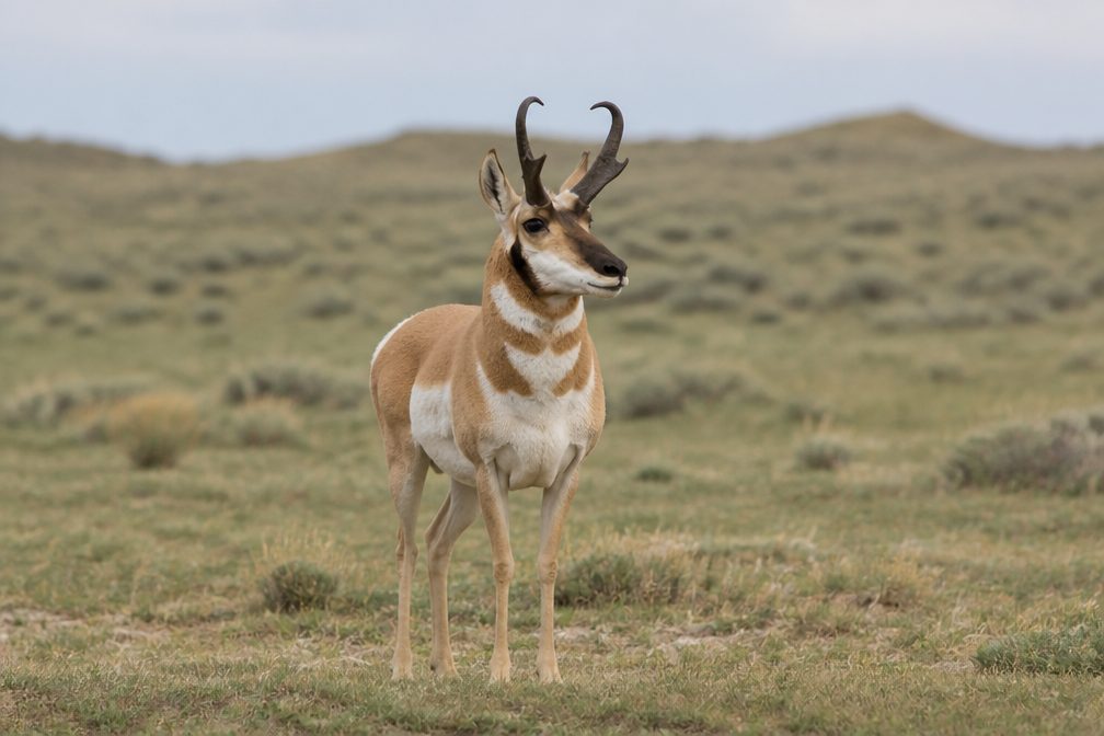
  • Wildlife heatmapsfor Elk, Pronghorn, Wild Turkey, and 13 more
  • Works offlinemaps, 17 trails, 29 places, and audio download before you lose signal
  • CarPlay readysimple controls built for the drive
★★★★★
“Fantastic app with many points of information… It’s great to just turn on while you’re driving and it gives you an audio tour of the national Park. We love it!!!!”
JMJamesApp Store review
Download Parkwolf on the App StoreGet Parkwolf on Google Play

4.7 from 8,600+ ratings

Trail guide

Hiking Liberty Stage Road

The walkLiberty Stage Road is a long out-and-back from Liberty Gate to the lower Sand Creek approach,…

Liberty Stage Road is a long out-and-back from Liberty Gate to the lower Sand Creek approach, where the creek skirts the north side of the dunefield. The mapped road runs about 7.4 miles each way, or 14.8 miles round trip; that is close to the published seven-mile one-way description. Expect roughly 7½ hours on foot. The road rolls through high country instead of climbing steadily, but the distance at roughly 7,800–8,200 feet makes this a hard day. Choose it for the north grasslands and creeks, not as a quick add-on to the main dunes.

Follow the old roadStart from the Liberty Gate access and stay on the public Liberty Road corridor.

Start from the Liberty Gate access and stay on the public Liberty Road corridor. At the lower creek, the mapped road comes within about 100 feet of Sand Creek. No exact turnaround point or crossing is marked, so treat this as the end of the road walk and return the same way; don't add a cross-country shortcut or wander onto private land.

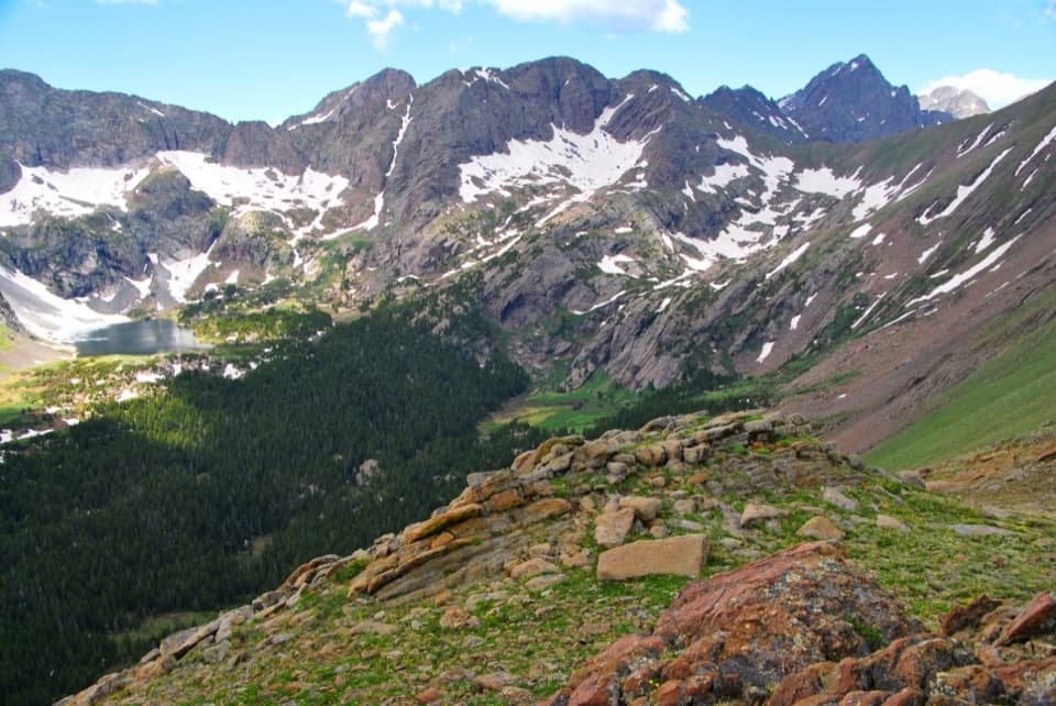
Grasslands and viewsThis is open country below the Crestone Peaks, with broad grassland and cottonwood-lined creek…

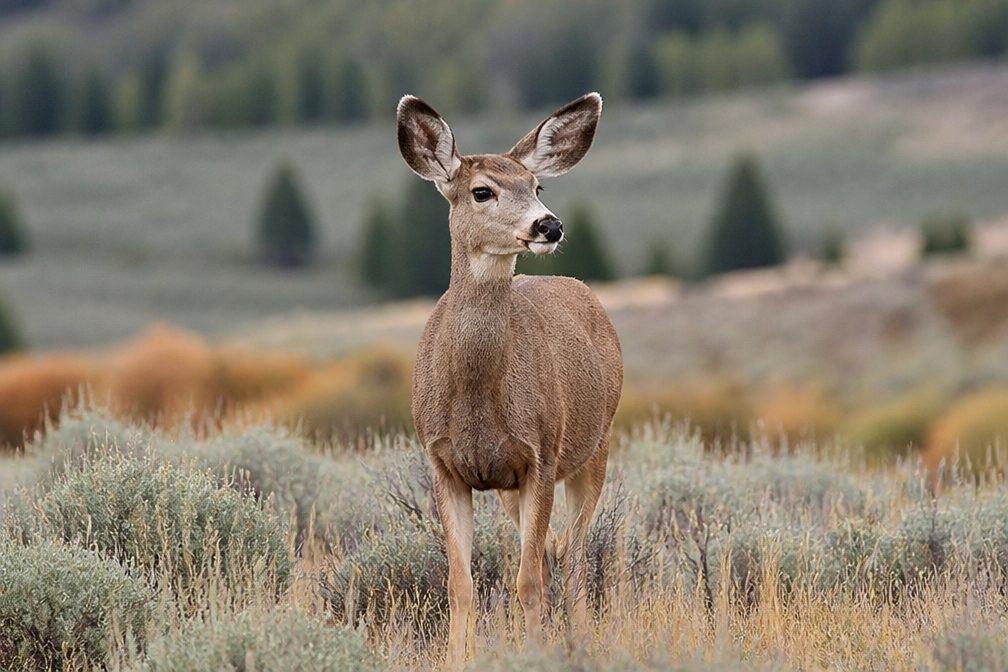
This is open country below the Crestone Peaks, with broad grassland and cottonwood-lined creek corridors. Elk herds use the area, though sightings are never guaranteed. Near the lower creek, the pale dunes meet the grassland; dark junipers make a good foreground if you stop for a photo.

Liberty's historyNearby Liberty grew as a mining settlement and once had stagecoach service, a hotel and a…

Nearby Liberty grew as a mining settlement and once had stagecoach service, a hotel and a school. That history gives the road its name, but most of the townsite is private and inaccessible. Keep the walk to the public access and road rather than exploring the adjacent parcels.

Water, pets and suppliesA restroom is listed at the Liberty Gate access, but no water is listed there, and no on-route…

A restroom is listed at the Liberty Gate access, but no water is listed there, and no on-route water source was verified. Bring enough for the full day. Pets are allowed on Liberty Road on a leash no longer than six feet; carry out waste. Prickly pear grows in the surrounding grassland, so watch where a pet steps.

Wildlife

Wildlife in Great Sand Dunes

All Great Sand Dunes wildlife maps

Sighting maps show where each species has been reported across Great Sand Dunes. Wildlife moves, so no sighting is guaranteed.

Keep exploring

Near Liberty Stage Road

See it all on the map

Trails that start nearby

Places near the trailhead

Parkwolf’s Great Sand Dunes ranking

Top-rated trails in Great Sand Dunes

All 17 trails
  1. 1Dunes Overlook TrailModerate · 2 mi
  2. 2Medano Lake TrailChallenging · 7.4 mi
  3. 3Upper Sand Creek Lake TrailChallenging · 7.7 mi
  4. 4Lower Sand Creek Lake TrailChallenging · 8 mi
  5. 5Upper and Lower Sand Creek Lakes HikeChallenging · 9.9 mi
  6. 6Music Pass TrailModerate · 2.2 mi

Take Parkwolf to Great Sand Dunes.

The audio tour guide for the drive, plus offline maps, trails, and wildlife heatmaps for when the signal drops.

4.7 from 8,600+ ratings

Download Parkwolf on the App StoreGet Parkwolf on Google Play