Parking
Begin at the Kuwohi summit access and arrange a vehicle or pickup at Waterrock Knob. This is a one-way route; check trail and road updates before setting out.
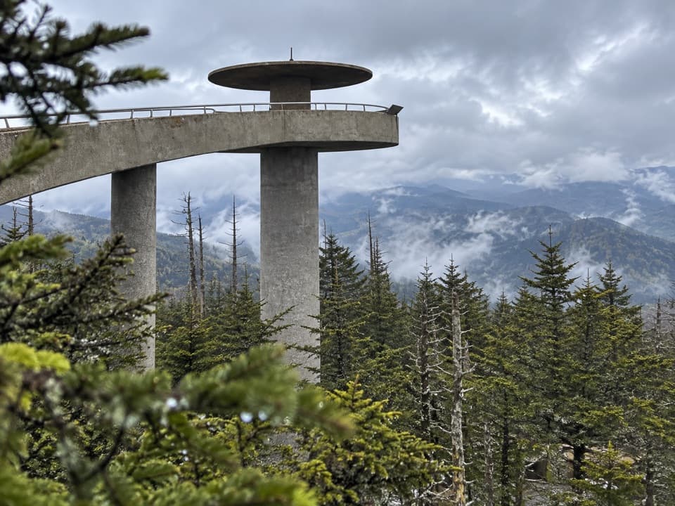
Great Smoky Mountains National Park, TN · NC
A 46.8-mile backpack from Kuwohi to Waterrock Knob
Overview
Map & elevation
Plan your hike

The highest, rockiest slopes around here are a summer buffet for grizzly bears.
Great Smoky Mountains Tour Guide
Parkwolf is a GPS audio tour guide for Great Smoky Mountains National Park. As you drive, it chimes in with what’s ahead: hidden gems, upcoming stops, history, geology, and wildlife, right through your car’s speakers.
See the Great Smoky Mountains audio tourRecorded for this trailhead
Kuwohi Observation Tower“You're approaching Kuwohi, the highest summit in the Smokies. The observation tower lifts you above the trees for a full circle of mountain ridges, if the clouds allow it.”
Plays as you drive up to this trailhead in the Parkwolf Great Smoky Mountains Tour Guide.
More stories near here in the app
“Fantastic app with many points of information… It’s great to just turn on while you’re driving and it gives you an audio tour of the national Park. We love it!!!!”


Trail guide
The Mountains-to-Sea Trail’s first segment is a 46.8-mile point-to-point from Kuwohi to Waterrock Knob. This is a multi-day backpack, not a long day hike. The distance includes 34.7 miles of trail, 7.4 miles on the grassy Blue Ridge Parkway shoulder, and 4.7 miles on unpaved woods roads. You finish far from where you started, so arrange a pickup or a second vehicle at Waterrock Knob. I’d choose this for a long, varied crossing of the Smokies and the Parkway; if you mainly want a waterfall or a summit view, a shorter Smokies hike is a better fit.
The route starts at the observation tower on Kuwohi, 6,643 feet up. A granite monument marks the Mountains-to-Sea Trail’s western end. Kuwohi means “mulberry place” in Cherokee; the name was restored in 2024. On a clear day the tower’s view can reach seven states, though air pollution often limits visibility to 20 miles or less.
The trail follows the road corridor for a few miles, then heads into the woods for a 22.8-mile stretch with no road access. Expect frequent switchbacks. The Smokies’ trails aren’t blazed, but intersections are marked; pay attention at junctions, because you can’t simply step out to a nearby road if you need to shorten the day.
Deep Creek brings the route past cascades and rock falls. At backcountry campsite 57, a memorial millstone marks Horace Kephart’s last camp. Farther east, the trail emerges by Mingus Mill, built in 1886 and still operating, then passes the Oconaluftee Visitor Center and Mountain Farm Museum before following the river. The mill, visitor center and farm buildings are worthwhile stops in the middle of a much longer route.
After Oconaluftee, the official segment continues beyond the national park, following the Parkway corridor. Several overlooks break up the long grassy-shoulder walk. Two short trail sections route hikers around Parkway tunnels, where walking is prohibited. The line then uses unpaved roads through the Qualla Boundary, home of the Eastern Band of Cherokee Indians, before the final 6.4 miles of hiker-only trail to Waterrock Knob. A separate 0.3-mile climb reaches Waterrock’s summit; on a clear day its view can span four states.
Budget about 23 hours of hiking time and spread the distance across a backpacking itinerary. A full pack is needed for the long roadless section. Overnight stays inside Great Smoky Mountains National Park require a backcountry permit and advance reservations, and camping is limited to designated sites and shelters. Pets aren’t allowed on the park’s backcountry trails, so leave them out of this route. Check access and trail updates before setting out.
Wildlife
 1,566 sightingsBlack BearMost seen around 7 PMSighting map
 899 sightingsElkMost seen around 7 AMSighting map
 13 sightingsBald EagleMost seen around 9 AMSighting map
 142 sightingsTimber RattlesnakeMost seen around 6 PMSighting map
 26 sightingsBobcatMost seen around 8 PMSighting map
 42 sightingsRiver OtterMost seen around 7 AMSighting map
Sighting maps show where each species has been reported across Great Smoky Mountains. Wildlife moves, so no sighting is guaranteed.
Keep exploring
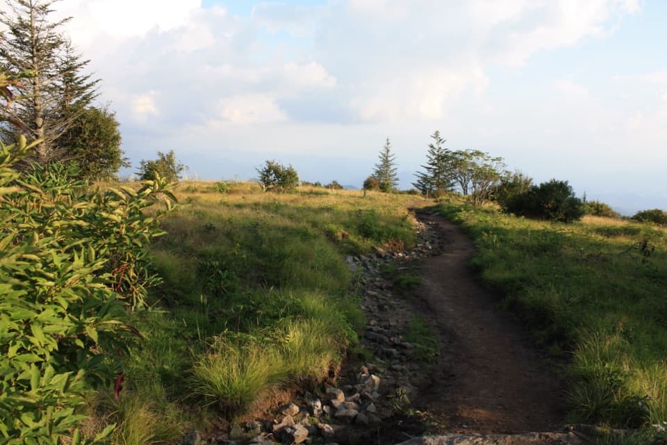 ModerateForney Ridge Trail to Andrews Bald3.6 mi · 2.5 hr · 0.4 mi awayDescend through spruce-fir forest to Andrews Bald, then climb back.
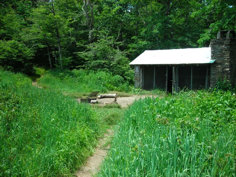 ChallengingSilers Bald Trail9.2 mi · 6 hr · 0.4 mi awayA rocky ridge walk to a clearing with views over Miry Ridge.
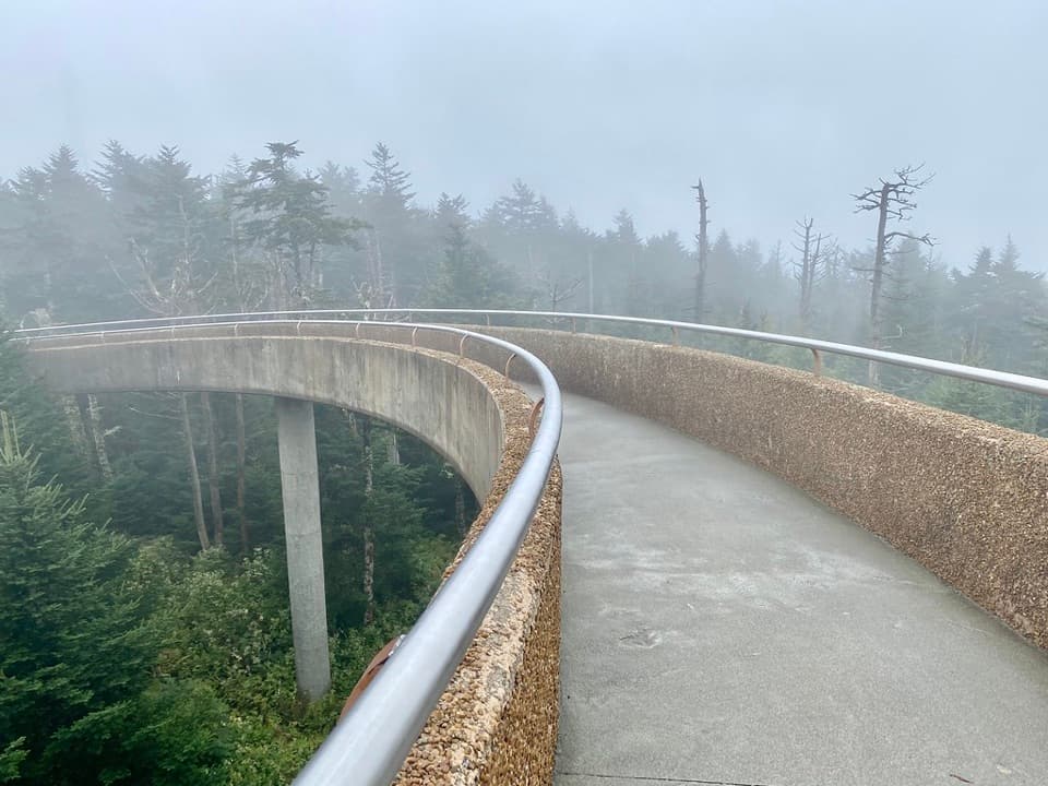 ModerateKuwohi Trail1.2 mi · 1 hr · 0.4 mi awayA steep paved climb to a tower above the spruce-fir canopy.
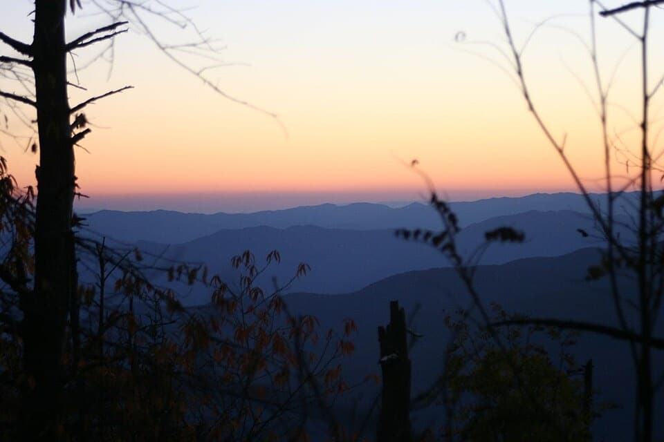 ChallengingForney Creek Trail11.2 mi · 8.5 hr · 1.1 mi awayA long creekside traverse through old logging country.
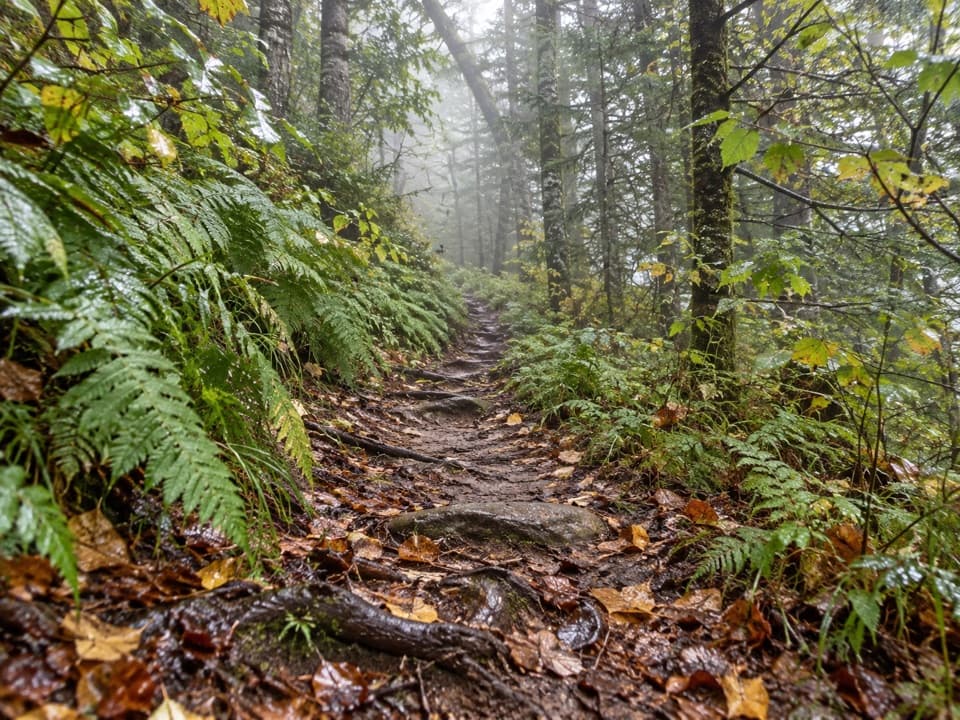 ModerateFork Ridge Trail5 mi · 3.5 hr · 2.5 mi awayA rocky descent from a high ridge into Deep Creek.
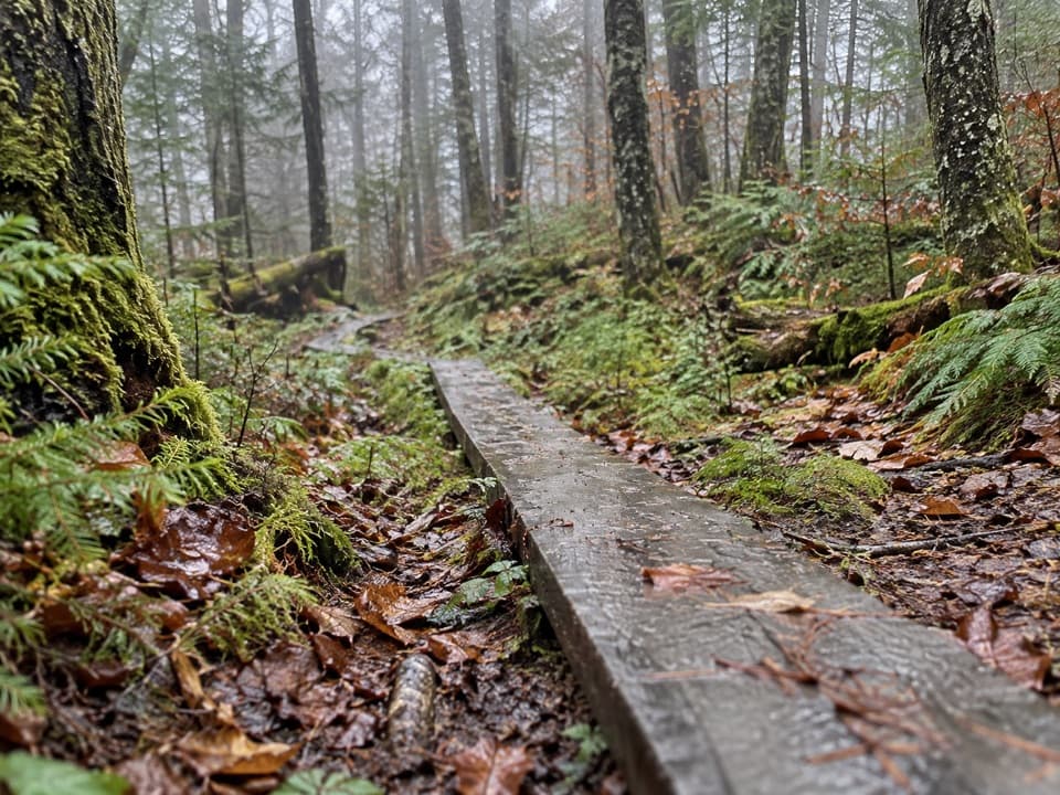 EasySpruce-Fir Nature Trail0.4 mi · 30 min · 3.2 mi awayA short, shaded loop through the Smokies' spruce-fir woods.
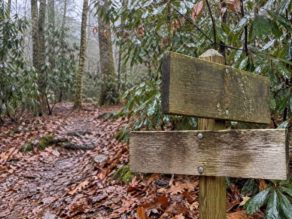 ChallengingPole Road Creek Trail3.2 mi · 2.5 hr · 3.3 mi awayA remote creekside descent with repeated water crossings.
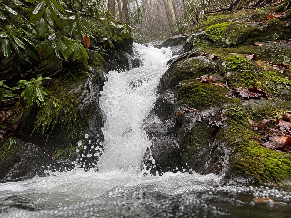 ChallengingRough Creek Trail2.7 mi · 2.3 hr · 4 mi awayA steep 2.7-mile connector from creek to mountain trail.
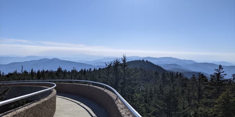 Sight · At the trailheadKuwohi Observation TowerA steep climb to a 360-degree view from the Smokies' roof.
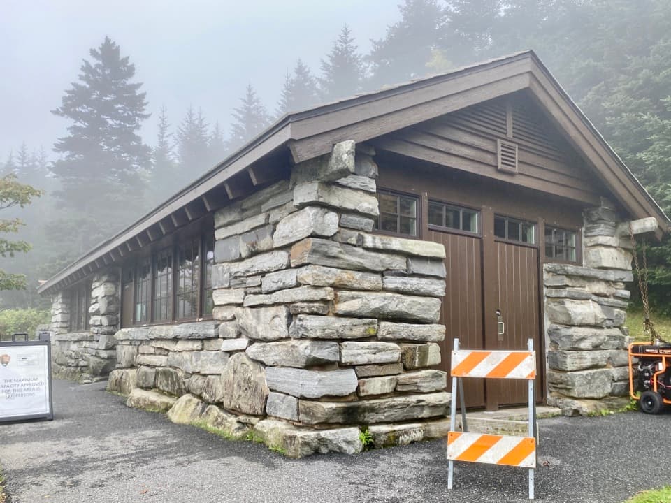 Visitor center · 0.4 mi awayKuwohi Visitor CenterA stone-built visitor stop and small shop before the Kuwohi climb.
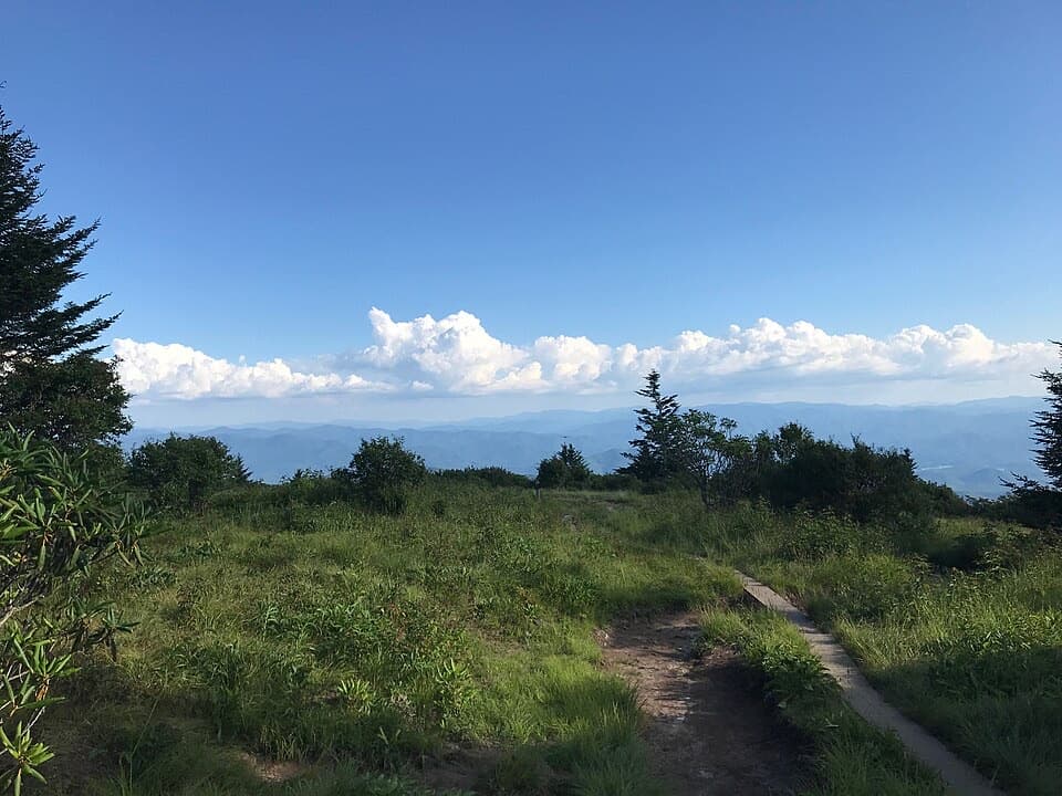 Sight · 1.5 mi awayAndrews BaldAn open mountain meadow with a 3.6-mile hike and a steep return.
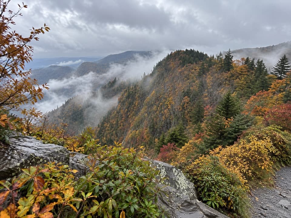 Scenic pullout · 5 mi awayDeep Creek Valley OverlookA roadside viewpoint over Deep Creek Valley
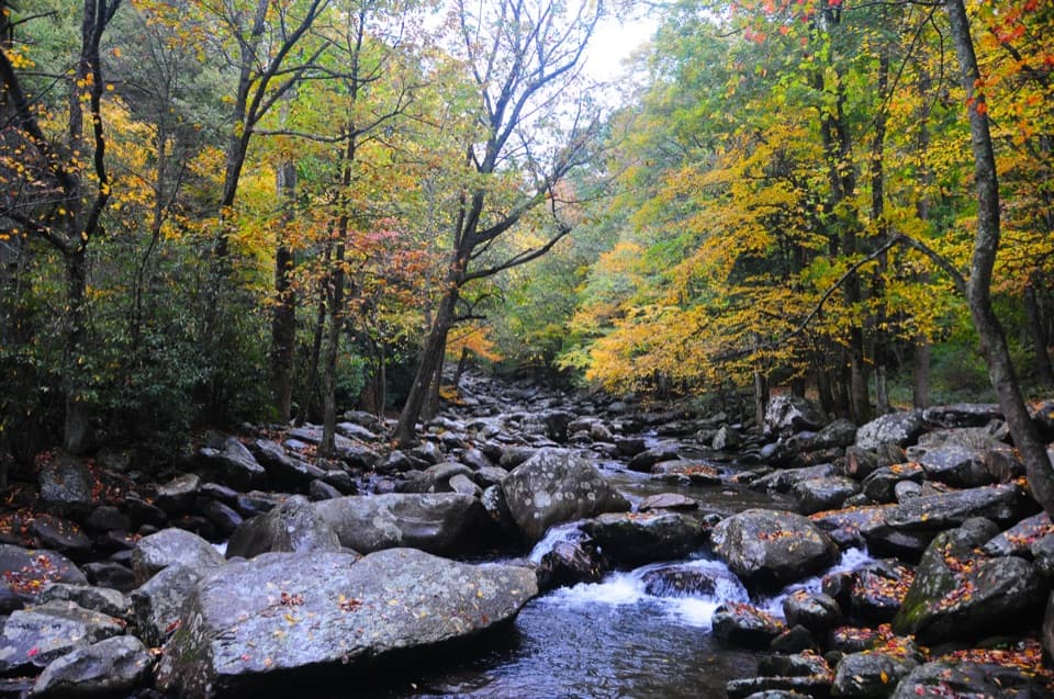 Picnic area · 5.1 mi awayChimneys Picnic AreaA shady lunch stop beside a cold, boulder-strewn river.
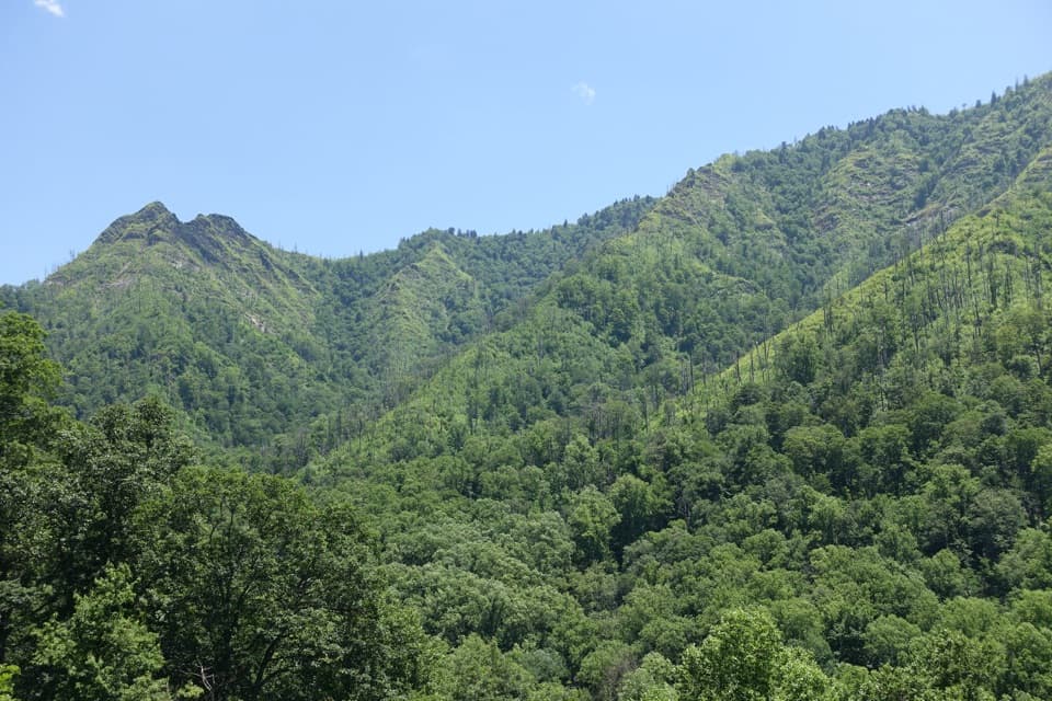 Scenic pullout · 5.2 mi awayChimney Tops OverlookStep out for the twin peaks without taking a hike.
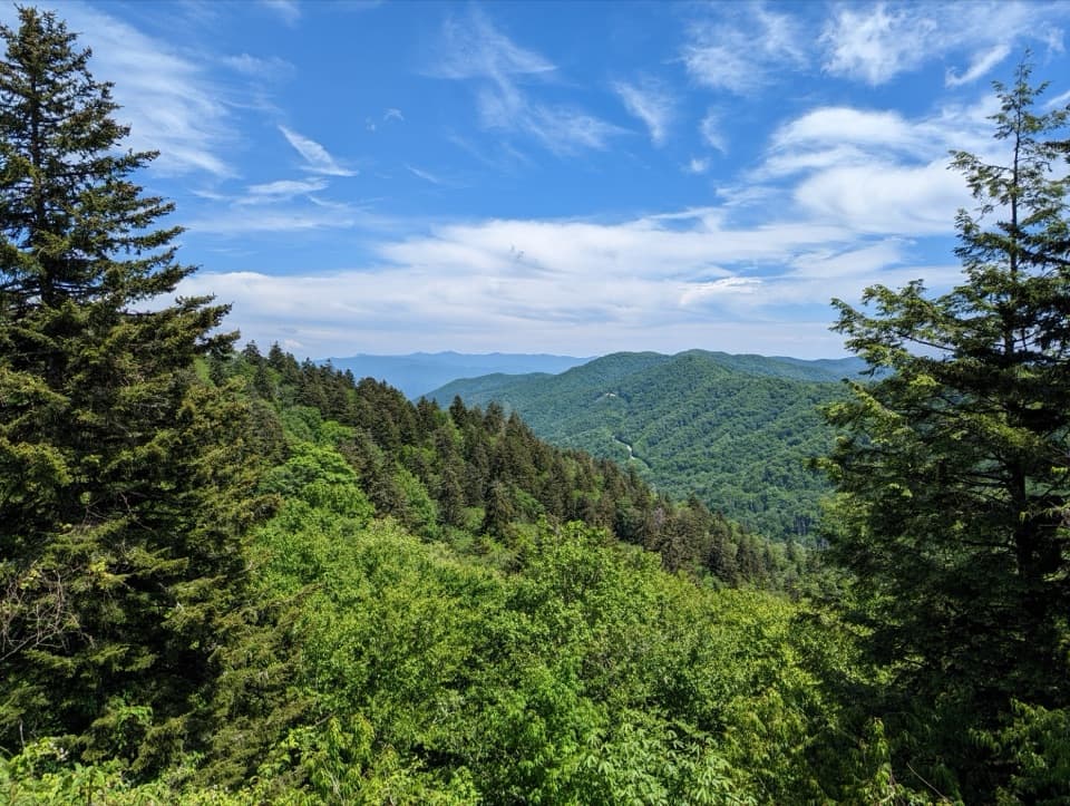 Sight · 5.2 mi awayNewfound Gap OverlookA 5,046-foot pass, a state line, and a historic terrace.
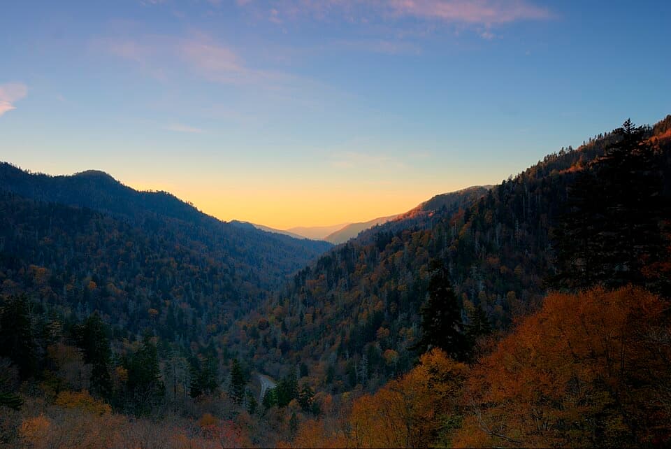 Sight · 5.7 mi awayBen Morton OverlookA west-facing Smokies overlook with a seasonal sunset alignment.
Parkwolf’s Great Smoky Mountains ranking

The audio tour guide for the drive, plus offline maps, trails, and wildlife heatmaps for when the signal drops.





