Forney Ridge Trail to Andrews Bald in Great Smoky Mountains National Park

#7 of 197 trails in Great Smoky Mountains

Great Smoky Mountains National Park, TN · NC

Forney Ridge Trail to Andrews Bald

Descend through spruce-fir forest to Andrews Bald, then climb back.

Photo: Wikimedia Commons
Length
3.6mi
Time
2.5hr
Elev. change
591ft
Difficulty
Moderate
  • No dogs
  • High point 6,276 ft

Hear the audio tour

Kuwohi Observation Tower

Overview

About Forney Ridge Trail to Andrews Bald

Why go

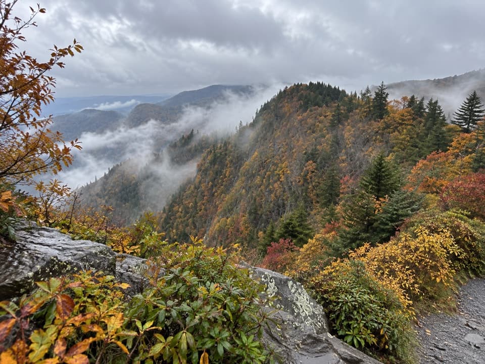
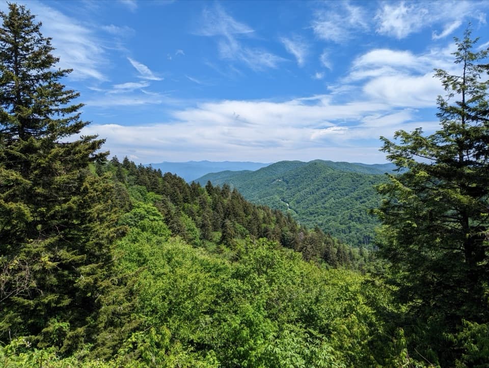
  • Open meadow views toward Fontana Lake and the southern Smokies
  • High-elevation forest and summer azaleas on a relatively short route

Heads up

  • The outing starts with a steep descent and finishes with a strenuous climb
  • Kuwohi parking is limited and often crowded

Map & elevation

The route

Loading the Great Smoky Mountains map
Full map
Elevation5,686–6,276 ft
TrailheadForney Ridge Trailhead35.55698, -83.49627
Keep this map with you offline in the Parkwolf app

Plan your hike

Before you go

Parking

Forney Ridge Trailhead is on the left just before the visitor information center at Kuwohi parking. Parking is limited; the park advises considering a shuttle option or another hike. A parking tag is required for stays longer than 15 minutes.

Safety

The trail drops down many stairs and has steep, narrow sections; the return climb is strenuous. Pets are not allowed.

7 active Great Smoky Mountains alerts

  • ClosureHurricane Helene backcountry trail closures and hazardsHurricane Helene damage has closed backcountry trails and left hazardous crossings; avoid closed routes and heed trail-specific restrictions.Official details
  • CautionBear-related trail, road, shelter, and campsite restrictionsBear activity has closed trails, a shelter, and campsites and restricted pedestrian access on Cherokee Orchard Road; follow the vehicle restrictions and avoid closed areas.Official details
See all 7 alerts
A park ranger sits on a dash-mounted phone, talking, as Parkwolf’s Tour Guide plays “Army Cutworm Moths: A Grizzly Bear Buffet” on Grand Loop Road below Dunraven Pass in Yellowstone
Parkwolf Tour GuideThe highest, rockiest slopes around here are a summer buffet for grizzly bears.

Great Smoky Mountains Tour Guide

Your drive to Forney Ridge Trail to Andrews Bald, narrated.

Parkwolf is a GPS audio tour guide for Great Smoky Mountains National Park. As you drive, it chimes in with what’s ahead: hidden gems, upcoming stops, history, geology, and wildlife, right through your car’s speakers.

See the Great Smoky Mountains audio tour

Recorded for this trailhead

Kuwohi Observation Tower
0:00 / 0:35
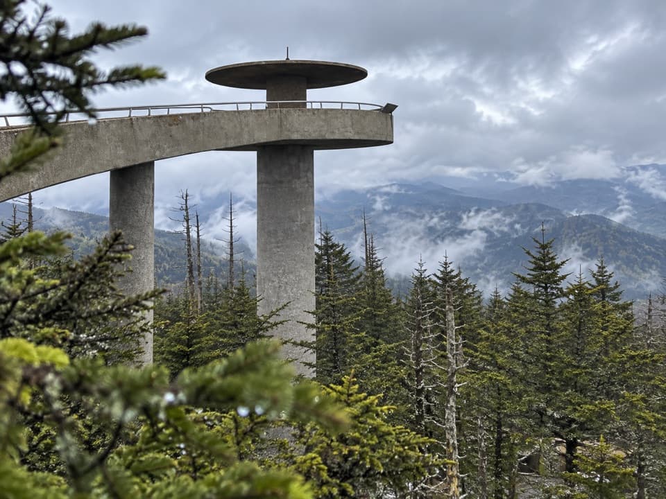
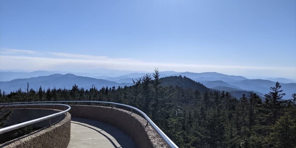
“You're approaching Kuwohi, the highest summit in the Smokies. The observation tower lifts you above the trees for a full circle of mountain ridges, if the clouds allow it.”

Plays as you drive up to this trailhead in the Parkwolf Great Smoky Mountains Tour Guide.

More stories near here in the app

  • Cones That Come Apart
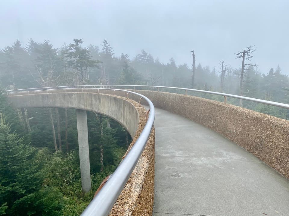
  • Kuwohi's Modern Tower
  • Ice Made from Fog
  • Spruce-Fir Nature Trail
  • 188 audio storiesacross Great Smoky Mountains’s roads, triggered by GPS as you drive
  • Wildlife heatmapsfor Black Bear, Elk, Bald Eagle, and 13 more
  • Works offlinemaps, 197 trails, 100 places, and audio download before you lose signal
  • CarPlay readysimple controls built for the drive
★★★★★
“Fantastic app with many points of information… It’s great to just turn on while you’re driving and it gives you an audio tour of the national Park. We love it!!!!”
JMJamesApp Store review
Download Parkwolf on the App StoreGet Parkwolf on Google Play

4.7 from 8,600+ ratings

Trail guide

Hiking Forney Ridge Trail to Andrews Bald

The hikeForney Ridge Trail to Andrews Bald is a 3.

Forney Ridge Trail to Andrews Bald is a 3.6-mile out-and-back from Kuwohi parking to one of the Smokies’ high grassy balds. The route drops from the ridge through spruce-fir forest to an open meadow, then retraces the same 1.75-mile corridor uphill. Allow about 2 to 2.5 hours. The trip has roughly 1,200 feet of total elevation change. I’d choose it for the bald and the wildflower season, but plan for a harder return than the downhill start suggests.

Start at KuwohiForney Ridge Trailhead is on the left just before the visitor information center.

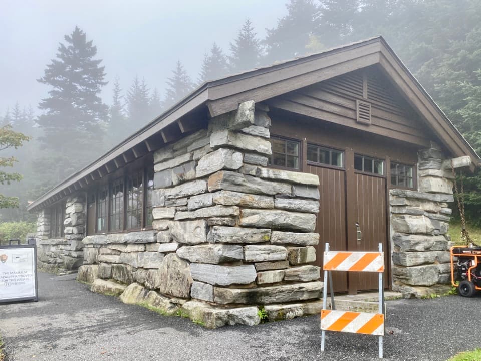
Forney Ridge Trailhead is on the left just before the visitor information center. Parking at Kuwohi is limited and can get crowded; the park advises considering a shuttle option or another hike when parking is crowded. A parking tag is required if you park for more than 15 minutes. Seasonal pit toilets are at the parking area. Kuwohi Road and the parking area close in winter, so check seasonal access before driving up.

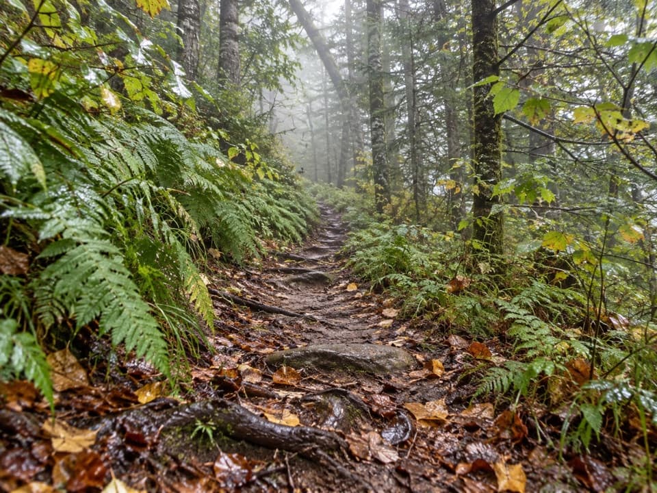
Down through spruce-fir forestThe trail begins wide and graveled, with many stairs dropping quickly from Kuwohi.

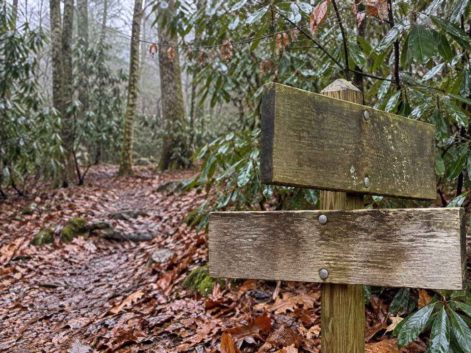
The trail begins wide and graveled, with many stairs dropping quickly from Kuwohi. Beyond the first junction it narrows to a well-trodden dirt path. At about 0.1 mile, Clingmans Dome Bypass Trail branches right toward the Appalachian Trail; stay left. Around 1 mile in, Forney Creek Trail also leaves to the right; continue straight for Andrews Bald. Dark-eyed juncos and other high-elevation birds may turn up on the climb back.

A rebuilt high-elevation trailFor years, the upper Forney Ridge tread was rough, with loose gravel, rocks and runoff.

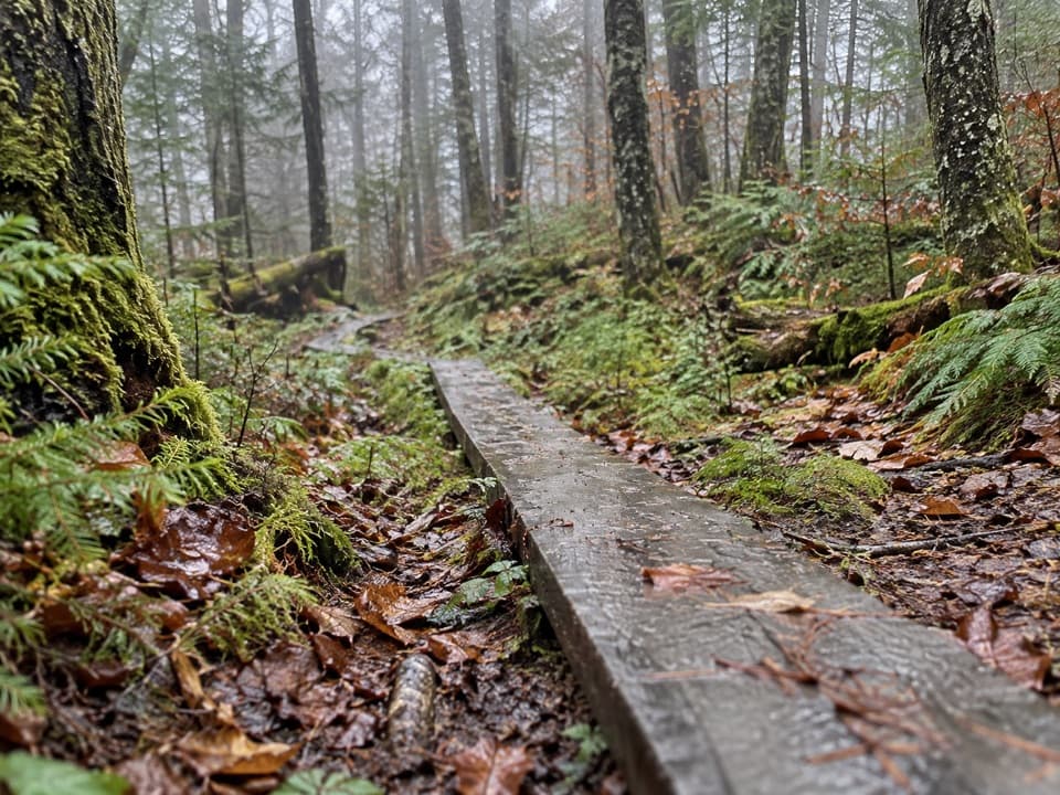
For years, the upper Forney Ridge tread was rough, with loose gravel, rocks and runoff. A multi-year project begun in 2008 rebuilt sections with flat stones, locust and native-rock stairs, drainage structures, and raised boardwalks. Those improvements make the walk more manageable than it used to be, but the stair-heavy approach is still work on the way back. The forest’s Fraser firs have also been hit hard by the introduced balsam woolly adelgid; more than 90% of park Fraser firs are reported killed.

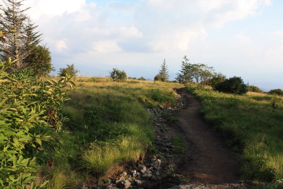
Keep walking into the baldThe meadow begins around 1.7 miles from the trailhead.

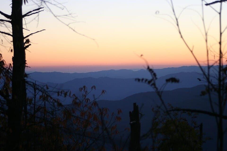
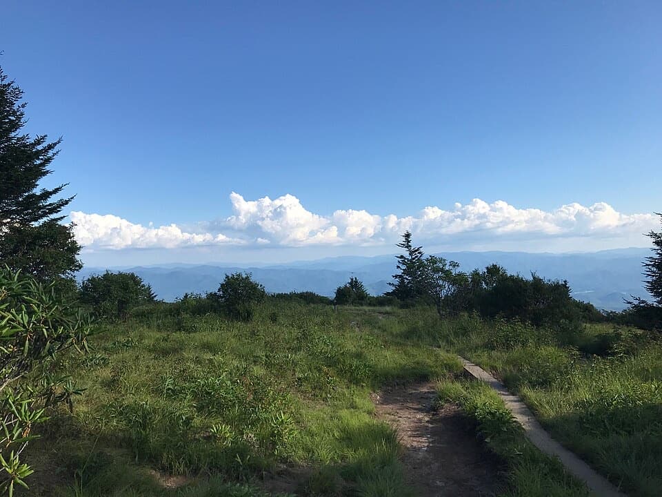
The meadow begins around 1.7 miles from the trailhead. Don’t stop at the first grassy edge: continue about another 100 yards for the broadest opening, with Fontana Lake and the southern Smokies in view. At about 5,920 feet, Andrews Bald is the highest bald in the park. Without periodic clearing, forest would gradually reclaim its grass. Flame azalea and rhododendron bloom in late spring and early summer; flame azalea often peaks around early July, though timing shifts year to year. For the clearest landscape photo, walk farther into the opening and frame the lake below the layered ridges.

Plan for the climb homeTurn back the same way; this record covers the short Andrews Bald hike, not Forney Ridge…

Turn back the same way; this record covers the short Andrews Bald hike, not Forney Ridge Trail’s longer continuation toward Forney Creek. The outbound leg spends elevation on the descent, and the return puts the stairs and climb in front of you. It’s a moderate-length hike, but not a flat stroll. Pets aren’t allowed on this trail.

Wildlife

Wildlife in Great Smoky Mountains

All Great Smoky Mountains wildlife maps

Sighting maps show where each species has been reported across Great Smoky Mountains. Wildlife moves, so no sighting is guaranteed.

Keep exploring

Near Forney Ridge Trail to Andrews Bald

See it all on the map

Trails that start nearby

Places near the trailhead

Parkwolf’s Great Smoky Mountains ranking

Top-rated trails in Great Smoky Mountains

All 197 trails
  1. 1Mount Le Conte via Alum Cave TrailChallenging · 10 mi
  2. 2Charlies Bunion via Appalachian TrailModerate · 8 mi
  3. 3Alum Cave Trail to Alum Cave BluffsModerate · 4.6 mi
  4. 4Ramsey Cascades TrailChallenging · 8 mi
  5. 5Mount Cammerer TrailChallenging · 11.1 mi
  6. 6Gregory Ridge TrailChallenging · 11.4 mi

Take Parkwolf to Great Smoky Mountains.

The audio tour guide for the drive, plus offline maps, trails, and wildlife heatmaps for when the signal drops.

4.7 from 8,600+ ratings

Download Parkwolf on the App StoreGet Parkwolf on Google Play