Place
Challenging

If you want the Smokies to feel wild again, Forney Creek delivers. This rugged backcountry route strings together lush creek valleys, cascades, and long, leg-burning climbs. Expect real solitude once you’re beyond the Andrews Bald corridor and into the creek drainage. The full out-and-back iteration commonly described is about 23.0 miles total with roughly 4,900 feet of gain, and it’s a serious undertaking best for experienced hikers and backpackers.
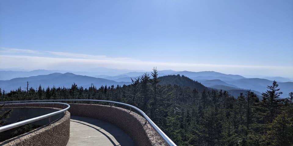
Most folks reach Forney Creek from the Clingmans Dome parking area via the Forney Ridge Trail, then link to Springhouse Branch and Forney Creek. As an out-and-back, plan on ~23 miles total. A popular alternative is an ~18.6-mile loop that descends from Clingmans Dome via Forney Ridge and returns using Springhouse Branch/Forney Creek; it’s still firmly “hard.” However you slice it, the final climb back toward the ridge is stout—hikers report the steepest two miles from Campsite 68 taking up to two hours.
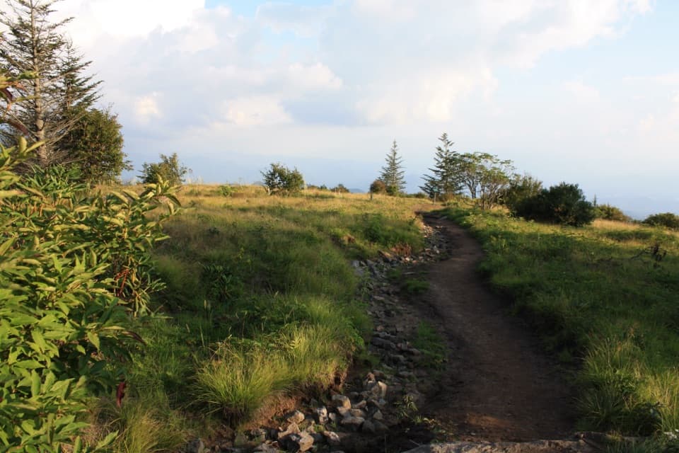
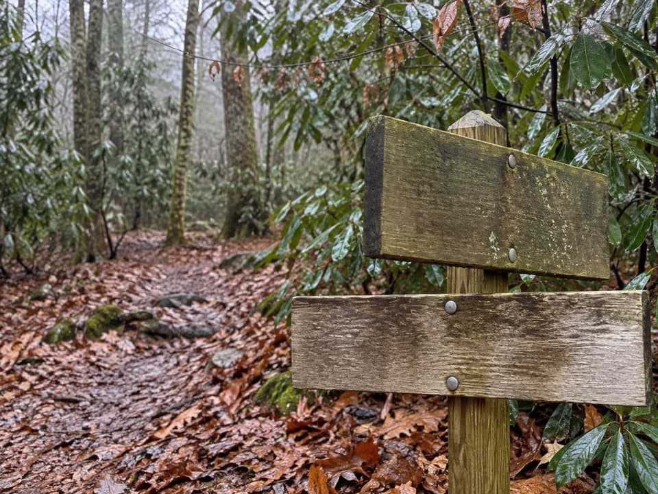
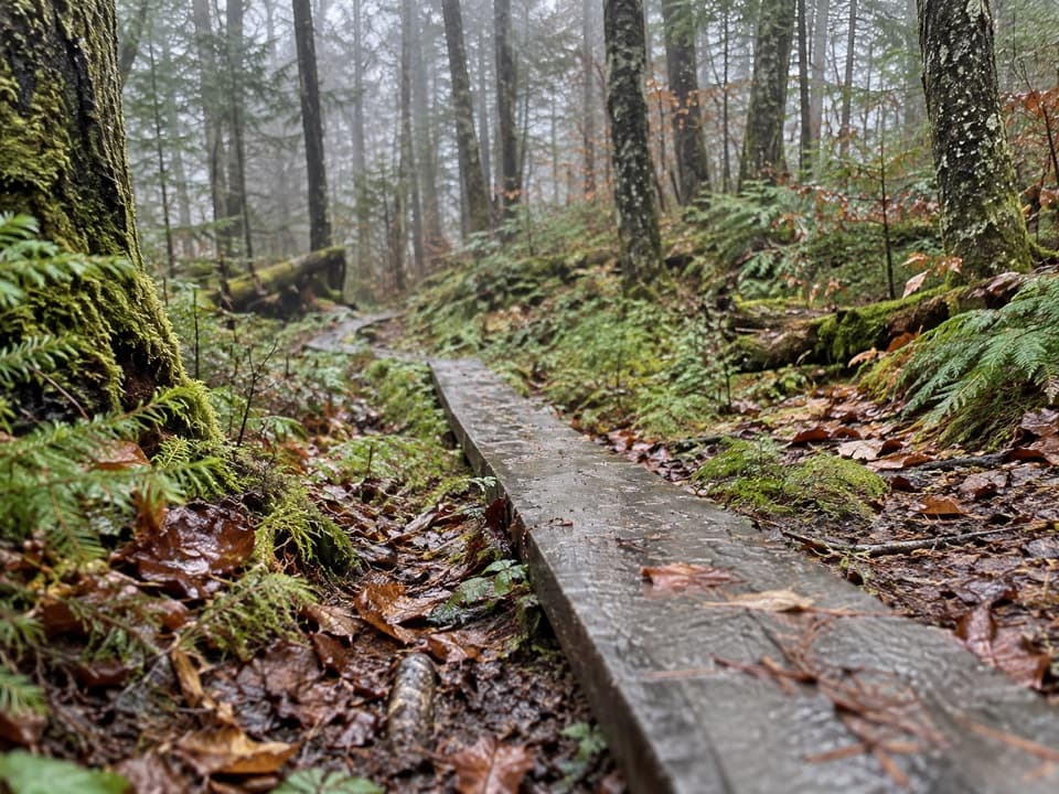
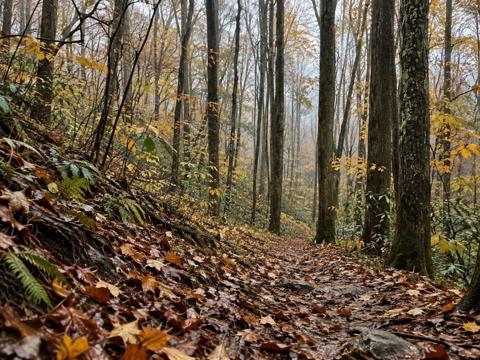
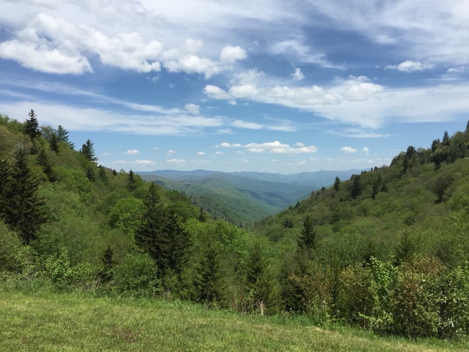
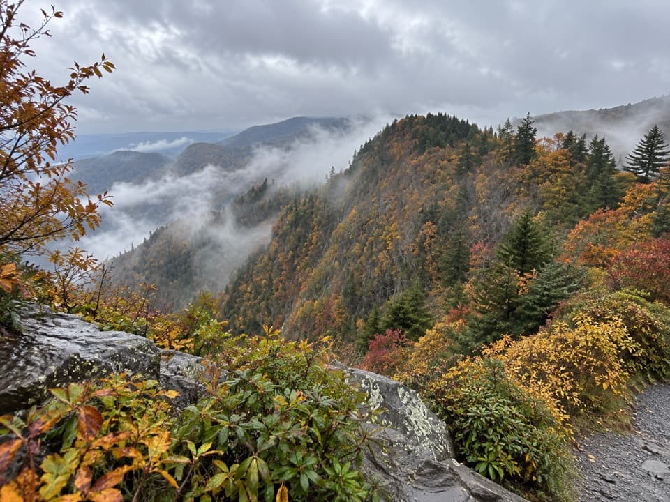
You’ll drop from high-elevation spruce–fir (with pockets of beetle-kill but a healthy trail corridor) into upper-hardwood forest with birch and rhododendron, then finally into the low, wet, ferny world of big maple, beech, and poplar draped in vines. Forney Creek’s cascades are the payoff—look for the two-tier Forney Creek Cascade near Backcountry Campsite 68, sliding over broad rock into a narrow pool. Some hikers also mention Rock Slab Falls along the creek. Keep an eye out for rare open grassy hillsides where you might spot wild turkey or even a black bear. Tributaries like Scarlett Ridge Creek, Little Jonas Creek, and Huggins Creek add to the water-rich feel; Huggins is known for rainbow trout.
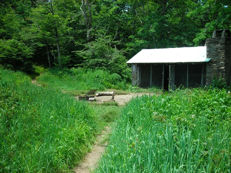
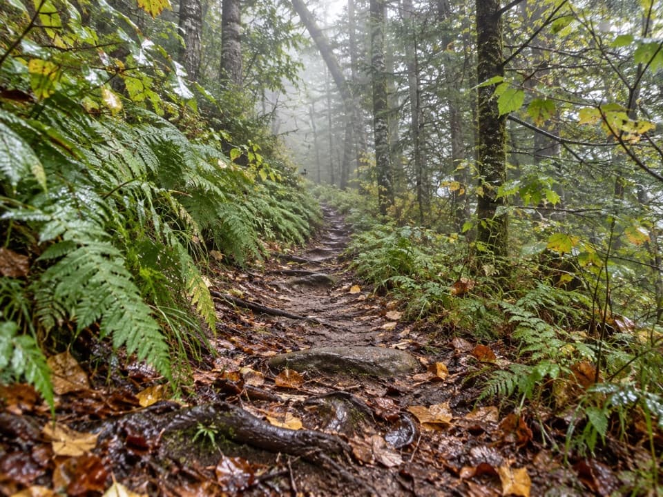
This is classic Smokies backcountry: narrow, rocky, often wet and overgrown. Expect multiple unaided creek fords—reports tally around seven knee-deep crossings on Forney Creek alone in normal flow, with crossings getting trickier as you head downstream. Poles help. The tread can be off-camber and slick after rain, and vegetation will soak your legs. One silver lining: between Campsites 70 and 68 the trail follows an old logging railroad grade with gentler switchbacks. Do not count on cell or GPS coverage in the creek valley. Seasonal quirks happen too—one hiker noted a footbridge near Campsite 70 missing handrails but still passable; treat conditions as variable. Bear activity can be high; you may see lots of scat.
March through November is the sweet spot for most hikers. Water levels—and thus ford difficulty—swing with recent rain, and warm-season vegetation can be thick and wet. If you’re starting from Clingmans Dome, remember the access road typically operates April 1–November 30, weather permitting. For photography, the creek canyon is mostly shaded; bright overcast or early/late light flatters cascades.
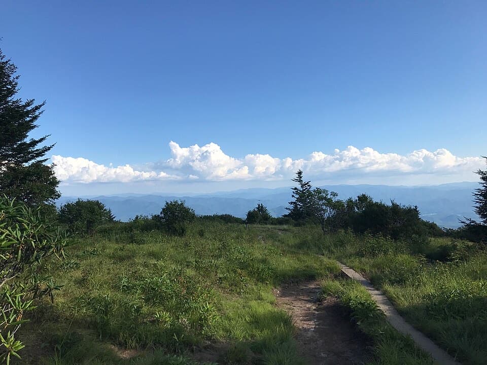
If you want water, solitude, and a physical test, this route is worth it. If you want an easier day with views, the Andrews Bald area is far friendlier and still scenic; save Forney Creek for when you’re ready to work.
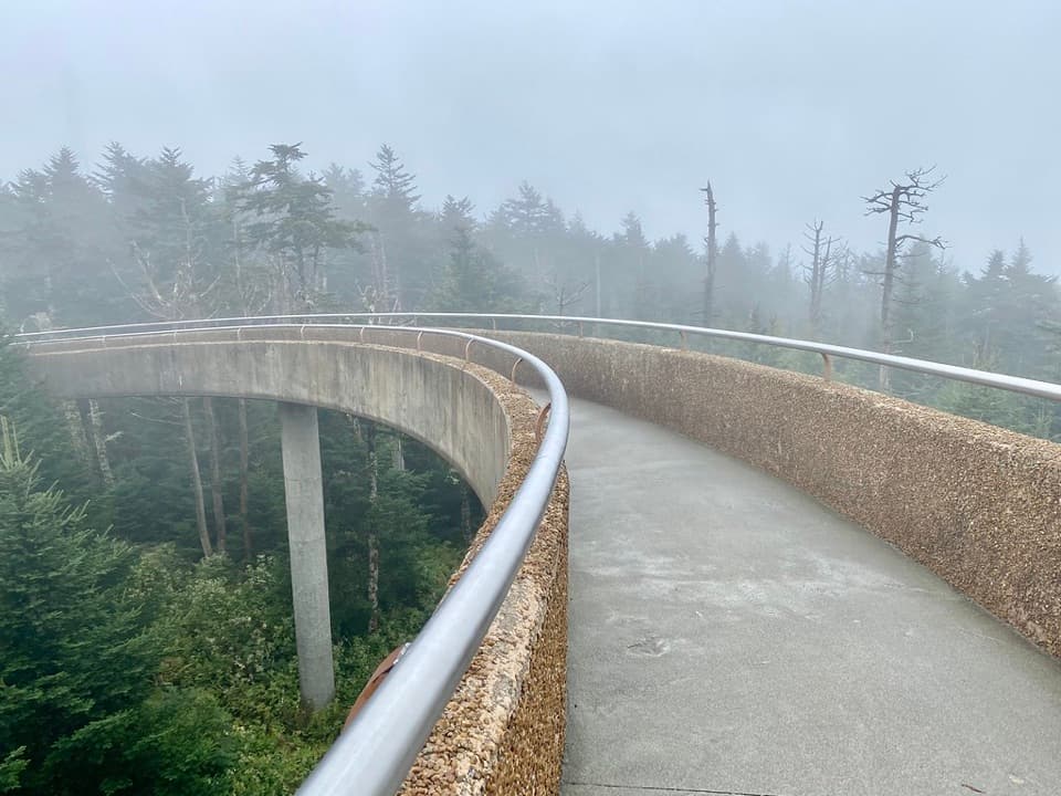
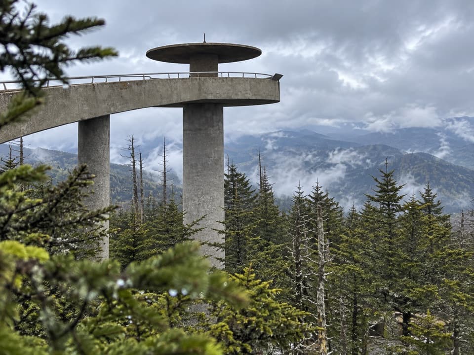
Park at the Clingmans Dome lot and start down the Forney Ridge Trail near the tower access road; connect via Springhouse Branch to Forney Creek. Clingmans Dome Road typically operates April–November, weather permitting.
Expect numerous knee-deep, unaided creek fords; slippery, off-camber tread; heavy vegetation that stays wet; limited GPS reception in the valley; a very steep final climb from Camp 68; and active bears. Conditions change—bridges and crossings may be damaged. Carry trekking poles, treat all water, and plan navigation offline.