Silers Bald Trail in Great Smoky Mountains National Park

Great Smoky Mountains National Park, TN · NC

Silers Bald Trail

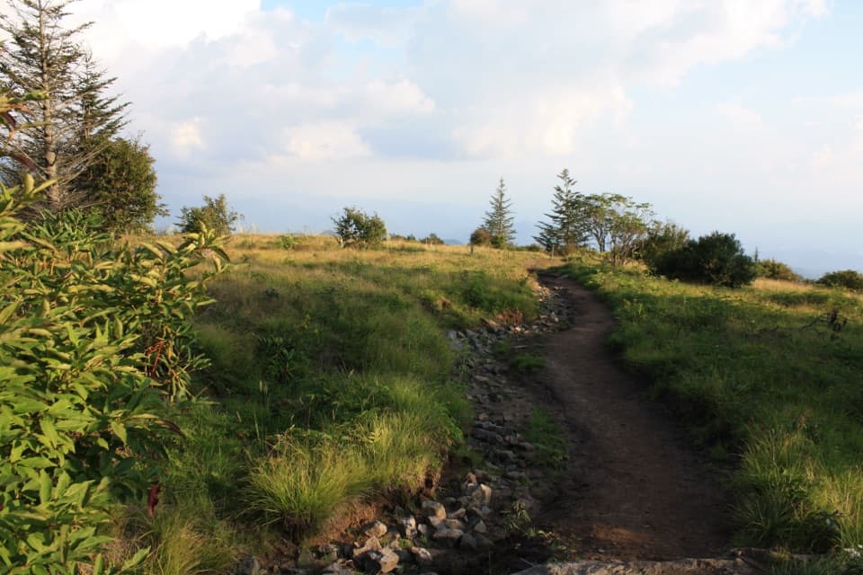
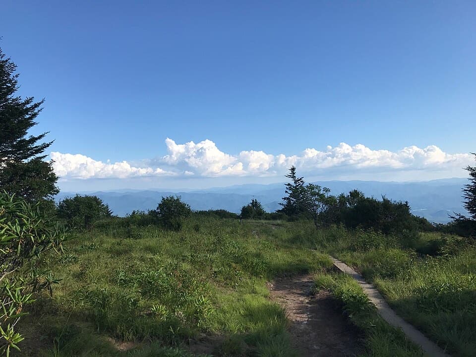
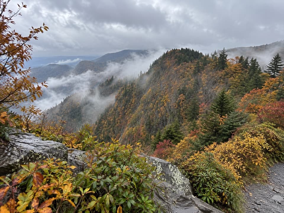
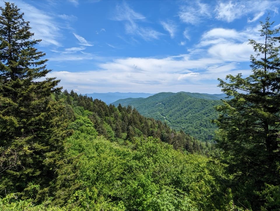
A rocky ridge walk to a clearing with views over Miry Ridge.

Photo: Wikimedia Commons
Length
9.2mi
Time
6hr
Elev. change
1,240ft
Difficulty
Challenging
  • No dogs
  • High point 6,490 ft
  • #55 of 197 in Great Smoky Mountains

Hear the audio tour

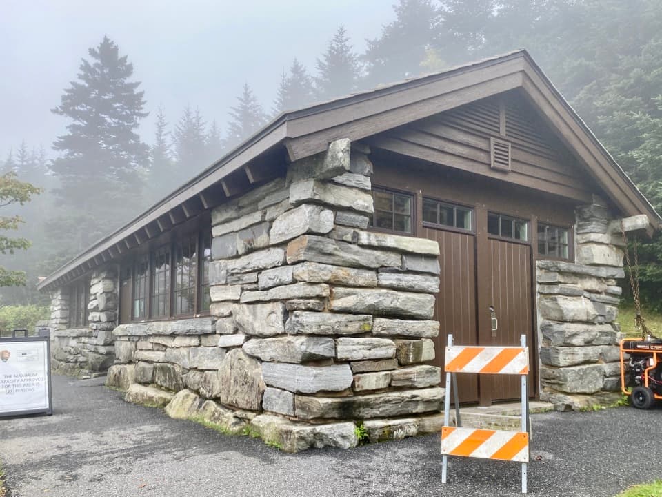
Kuwohi Observation Tower

Overview

About Silers Bald Trail

Why go

  • A real summit clearing and a side path with a view over Miry Ridge.
  • Spruce-fir forest and spring wildflowers add variety to the ridge walk.

Heads up

  • A long, rocky outing with several climbs and deep mud after rain.
  • No dependable on-route water source was confirmed.

Map & elevation

The route

Loading the Great Smoky Mountains map
Full map
Elevation5,249–6,490 ft
TrailheadForney Ridge Trailhead, Kuwohi Parking Area35.55698, -83.49627
Keep this map with you offline in the Parkwolf app

Plan your hike

Before you go

Parking

Use the Kuwohi parking area at the end of Kuwohi Road (formerly Clingmans Dome Road); the Forney Ridge trailhead is at the far end. The road closes seasonally in winter and can shut sooner for snow or ice. Vehicles parked longer than 15 minutes need a park parking tag.

Safety

Steep rocky climbs and long sections that can become deep mud after rain make this strenuous. Carry enough water for the full high-elevation day; no dependable on-route refill was confirmed. Pets are prohibited. Overnight shelter use requires an advance backcountry reservation and permit.

7 active Great Smoky Mountains alerts

  • ClosureHurricane Helene backcountry trail closures and hazardsHurricane Helene damage has closed backcountry trails and left hazardous crossings; avoid closed routes and heed trail-specific restrictions.Official details
  • CautionBear-related trail, road, shelter, and campsite restrictionsBear activity has closed trails, a shelter, and campsites and restricted pedestrian access on Cherokee Orchard Road; follow the vehicle restrictions and avoid closed areas.Official details
See all 7 alerts
A park ranger sits on a dash-mounted phone, talking, as Parkwolf’s Tour Guide plays “Army Cutworm Moths: A Grizzly Bear Buffet” on Grand Loop Road below Dunraven Pass in Yellowstone
Parkwolf Tour GuideThe highest, rockiest slopes around here are a summer buffet for grizzly bears.

Great Smoky Mountains Tour Guide

Your drive to Silers Bald Trail, narrated.

Parkwolf is a GPS audio tour guide for Great Smoky Mountains National Park. As you drive, it chimes in with what’s ahead: hidden gems, upcoming stops, history, geology, and wildlife, right through your car’s speakers.

See the Great Smoky Mountains audio tour

Recorded for this trailhead

Kuwohi Observation Tower
0:00 / 0:35
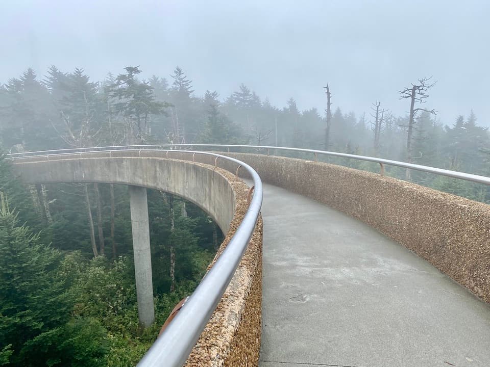
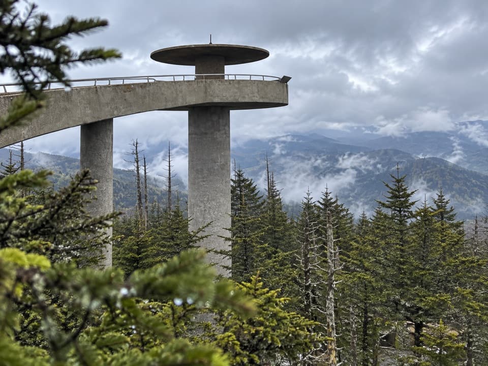
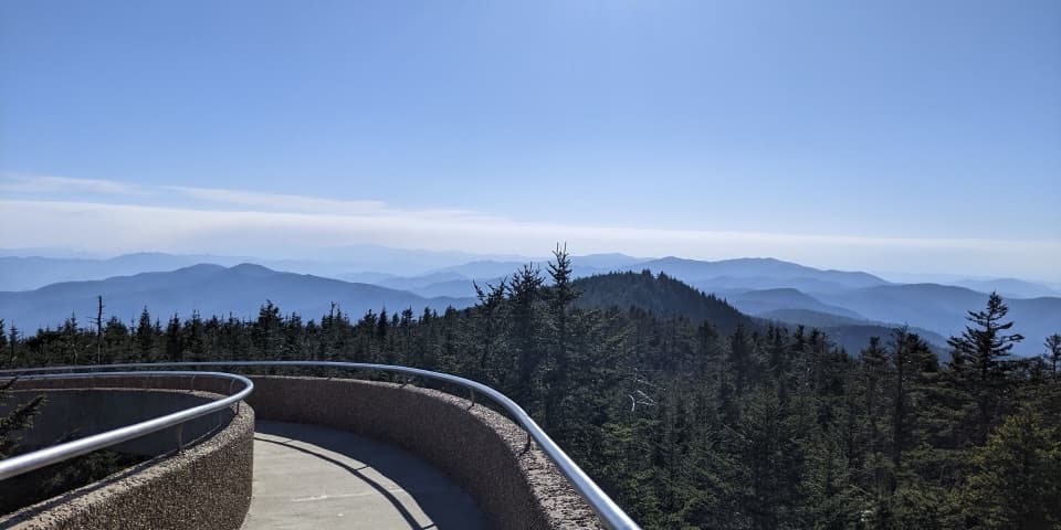
“You're approaching Kuwohi, the highest summit in the Smokies. The observation tower lifts you above the trees for a full circle of mountain ridges, if the clouds allow it.”

Plays as you drive up to this trailhead in the Parkwolf Great Smoky Mountains Tour Guide.

More stories near here in the app

  • Cones That Come Apart
  • Kuwohi's Modern Tower
  • Ice Made from Fog
  • Spruce-Fir Nature Trail
  • 188 audio storiesacross Great Smoky Mountains’s roads, triggered by GPS as you drive
  • Wildlife heatmapsfor Black Bear, Elk, Bald Eagle, and 13 more
  • Works offlinemaps, 197 trails, 100 places, and audio download before you lose signal
  • CarPlay readysimple controls built for the drive
★★★★★
“Fantastic app with many points of information… It’s great to just turn on while you’re driving and it gives you an audio tour of the national Park. We love it!!!!”
JMJamesApp Store review
Download Parkwolf on the App StoreGet Parkwolf on Google Play

4.7 from 8,600+ ratings

Trail guide

Hiking Silers Bald Trail

A full-day ridge hikeSilers Bald Trail is a 9.

Silers Bald Trail is a 9.2-mile out-and-back from the Forney Ridge Trailhead at Kuwohi to a small summit clearing on the Appalachian Trail. Budget about six hours: the round trip involves roughly 2,150–2,300 feet of climbing, rocky tread and several steep pulls. It suits hikers ready for a long high-elevation day, not a quick stop from the Kuwohi lot.

Follow the AT westFrom the far end of Kuwohi parking, take the short connector and bypass path to the Appalachian…

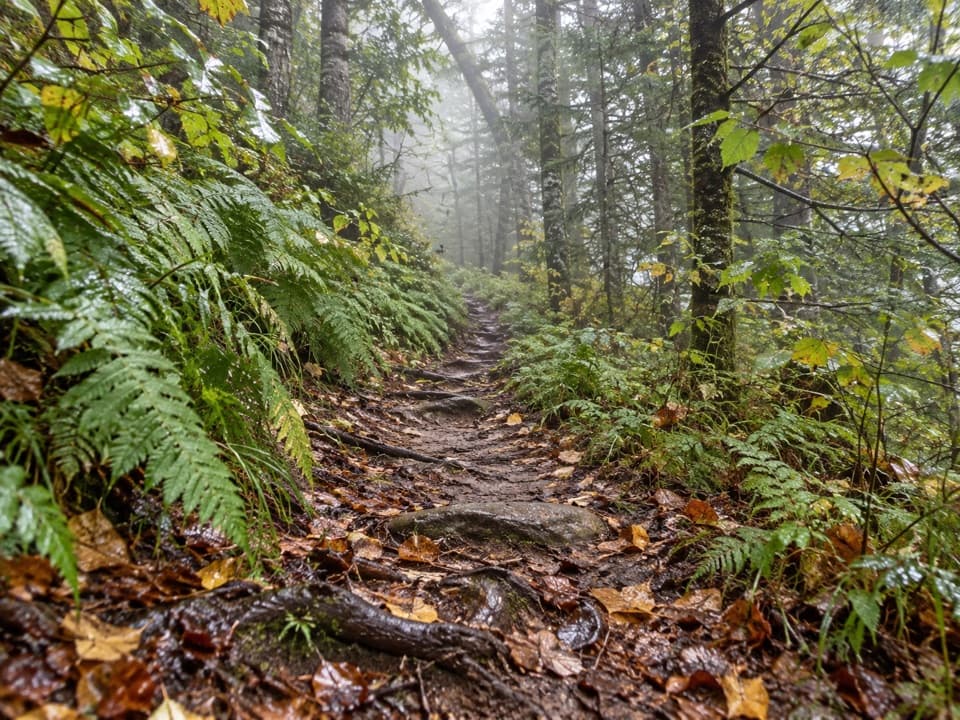
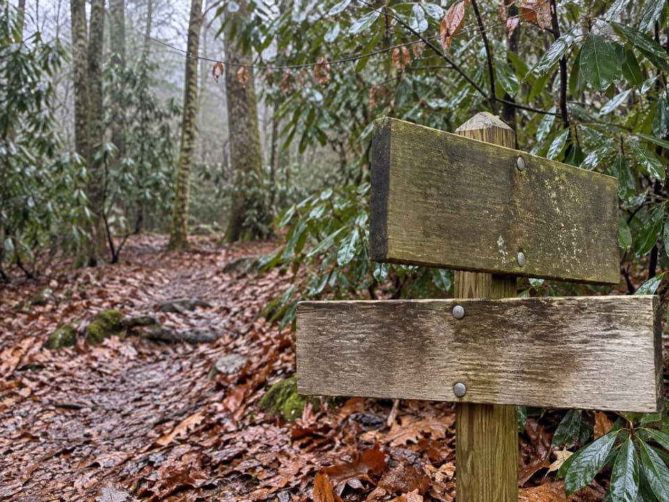
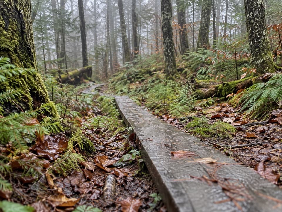
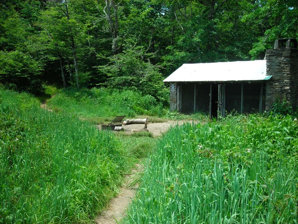
From the far end of Kuwohi parking, take the short connector and bypass path to the Appalachian Trail, then follow the AT west. The first ridgeline has several view openings before the route settles into old-growth spruce-fir forest. At roughly 2.6 miles, stay on the AT at the Goshen Prong junction. Double Spring Gap Shelter is about 3.2 miles from the start; after rain, long sections can turn to deep mud. Near the Welch Ridge junction, stay with the AT toward Silers Bald. The sign's shelter distance refers to Silers Bald Shelter; the bald summit is a short, steep climb away.

The summit and the old pastureA USGS marker sits on a large rock in a small clearing.

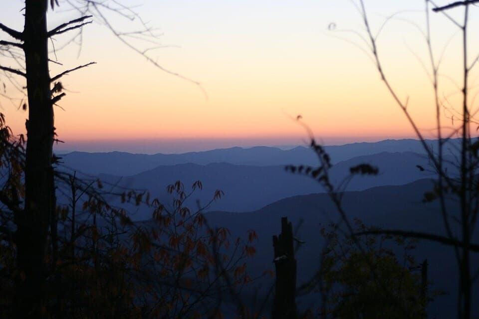
A USGS marker sits on a large rock in a small clearing. A short side path reaches a viewpoint over Miry Ridge, the best place to pause for the view. The bald was once part of a much larger grazing meadow, but much of that open ground has grown back in. Local history ties the name to Jesse Siler, a 19th-century North Carolina stockman who grazed sheep and cattle here.

Spring in the spruce-firMid-May hikers have reported spring beauties, trout lily, violets and white trillium along the…

Mid-May hikers have reported spring beauties, trout lily, violets and white trillium along the route, especially near Double Spring Gap. Bloom timing varies with the high-elevation season, so treat the flowers as a possible bonus rather than a promise.

Access and trail rulesUse the Kuwohi parking area at the end of Kuwohi Road, formerly Clingmans Dome Road; the Forney…

Use the Kuwohi parking area at the end of Kuwohi Road, formerly Clingmans Dome Road; the Forney Ridge trailhead is at the far end of the lot. The road closes seasonally in winter and can shut sooner for snow or ice. Vehicles parked longer than 15 minutes need a park parking tag. Pets are prohibited on this backcountry trail; only Gatlinburg and Oconaluftee River trails allow pets. Carry enough water for the full trip. Overnight shelter use requires an advance backcountry reservation and permit.

Wildlife

Wildlife in Great Smoky Mountains

All Great Smoky Mountains wildlife maps

Sighting maps show where each species has been reported across Great Smoky Mountains. Wildlife moves, so no sighting is guaranteed.

Keep exploring

Near Silers Bald Trail

See it all on the map

Trails that start nearby

Places near the trailhead

Parkwolf’s Great Smoky Mountains ranking

Top-rated trails in Great Smoky Mountains

All 197 trails
  1. 1Mount Le Conte via Alum Cave TrailChallenging · 10 mi
  2. 2Charlies Bunion via Appalachian TrailModerate · 8 mi
  3. 3Alum Cave Trail to Alum Cave BluffsModerate · 4.6 mi
  4. 4Ramsey Cascades TrailChallenging · 8 mi
  5. 5Mount Cammerer TrailChallenging · 11.1 mi
  6. 6Gregory Ridge TrailChallenging · 11.4 mi

Take Parkwolf to Great Smoky Mountains.

The audio tour guide for the drive, plus offline maps, trails, and wildlife heatmaps for when the signal drops.

4.7 from 8,600+ ratings

Download Parkwolf on the App StoreGet Parkwolf on Google Play