Fork Ridge Trail in Great Smoky Mountains National Park

Great Smoky Mountains National Park, TN · NC

Fork Ridge Trail

A rocky descent from a high ridge into Deep Creek.

Length
5mi
Time
3.5hr
Elev. change
2,759ft
Difficulty
Moderate
  • No dogs
  • High point 5,951 ft

Hear the audio tour

Ice Made from Fog

Overview

About Fork Ridge Trail

Why go

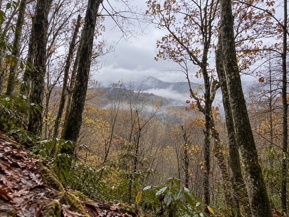
  • Wide views over the Deep Creek watershed
  • Direct access between Kuwohi Road and Deep Creek Trail

Heads up

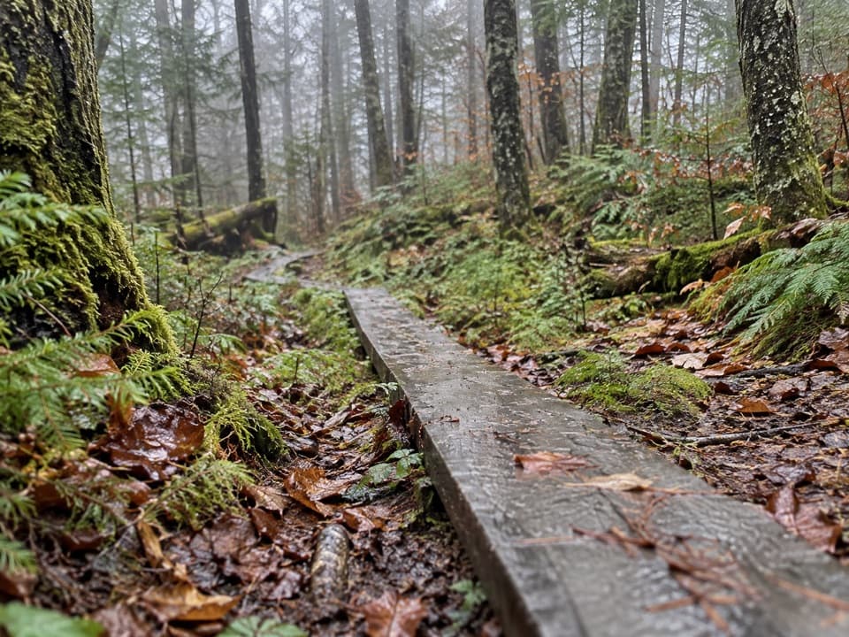
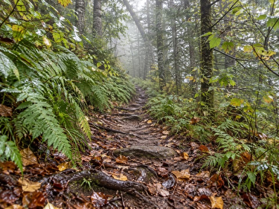
  • Rocky footing and a steep, boggy final descent
  • The one-way route ends with a difficult creek crossing

Map & elevation

The route

Loading the Great Smoky Mountains map
Full map
Elevation3,192–5,951 ft
TrailheadFork Ridge Trailhead pull-off on Kuwohi Road35.59071, -83.46966
Keep this map with you offline in the Parkwolf app

Plan your hike

Before you go

Parking

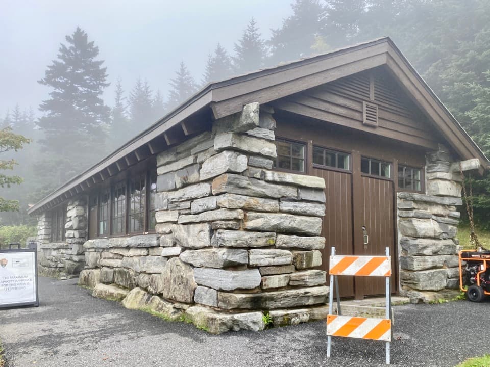
Start at the small roadside pull-off on Kuwohi Road, about 3½ miles above Newfound Gap. The road's usual 2026 season runs April 1 through November 29 and may close earlier for snow or ice. No toilets or drinking water were verified at the pull-off. This is a one-way route; arrange your return or plan to walk back.

Safety

The tread is rocky and rooty, and the last descent is steep and boggy. The Deep Creek crossing at the end is difficult; do not attempt it when conditions are unsafe. Pets are prohibited on this trail.

7 active Great Smoky Mountains alerts

  • ClosureHurricane Helene trail damage and backcountry restrictionsHurricane Helene damage has restricted backcountry trail access; avoid damaged crossings and observe trail-specific limits.Official details
  • CautionBear-related trail, campsite, and road restrictionsBear activity has closed trails, a shelter, and campsites and restricted pedestrian access on Cherokee Orchard Road; stay out of closed areas and follow vehicle-only rules.Official details
See all 7 alerts
A park ranger sits on a dash-mounted phone, talking, as Parkwolf’s Tour Guide plays “Army Cutworm Moths: A Grizzly Bear Buffet” on Grand Loop Road below Dunraven Pass in Yellowstone
Parkwolf Tour GuideThe highest, rockiest slopes around here are a summer buffet for grizzly bears.

Great Smoky Mountains Tour Guide

Your drive to Fork Ridge Trail, narrated.

Parkwolf is a GPS audio tour guide for Great Smoky Mountains National Park. As you drive, it chimes in with what’s ahead: hidden gems, upcoming stops, history, geology, and wildlife, right through your car’s speakers.

See the Great Smoky Mountains audio tour

Recorded for this area

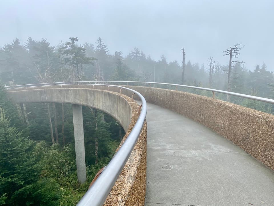
Ice Made from Fog
0:00 / 0:29
“A white coating on a cold mountain tree can be fog that's frozen onto it. Tiny fog droplets can stay liquid even below freezing.”

Plays on the road 0.1 mi from the trailhead in the Parkwolf Great Smoky Mountains Tour Guide.

More stories near here in the app

  • Spruce-Fir Nature Trail
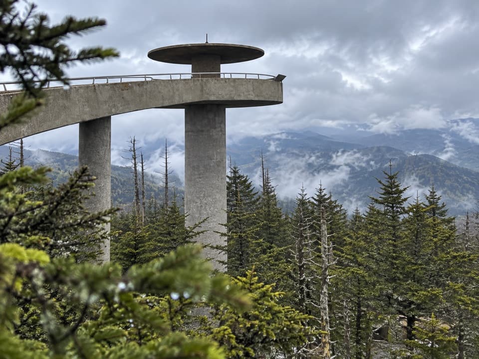
  • Kuwohi's Modern Tower
  • The Beetle That Clicks Upright
  • Cones That Come Apart
  • 200 audio storiesacross Great Smoky Mountains’s roads, triggered by GPS as you drive
  • Wildlife heatmapsfor Black Bear, Elk, Bald Eagle, and 13 more
  • Works offlinemaps, 197 trails, 137 places, and audio download before you lose signal
  • CarPlay readysimple controls built for the drive
★★★★★
“Fantastic app with many points of information… It’s great to just turn on while you’re driving and it gives you an audio tour of the national Park. We love it!!!!”
JMJamesApp Store review
Download Parkwolf on the App StoreGet Parkwolf on Google Play

4.7 from 8,600+ ratings

Trail guide

Hiking Fork Ridge Trail

One-way link into Deep CreekFork Ridge Trail is a 5-mile point-to-point descent from a small pull-off on Kuwohi Road to…

Fork Ridge Trail is a 5-mile point-to-point descent from a small pull-off on Kuwohi Road to Deep Creek Trail near Poke Patch campsite 53. It is a backcountry connector, not a loop, so decide how you will return before leaving your car. Walking back the same way makes it just over 10 miles and turns the descent into a long climb. Allow about three to three and a half hours one way; rough footing and the creek crossing can add time.

From the road to the ridgeThe trail drops steadily from the road, passing a spring that runs across the path before…

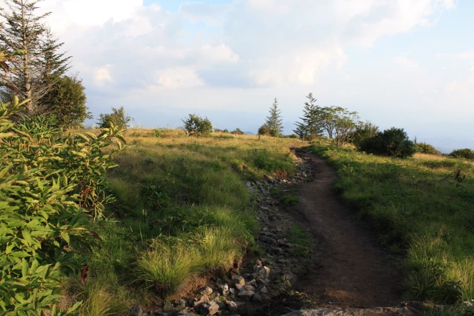
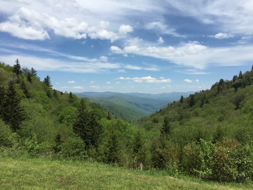
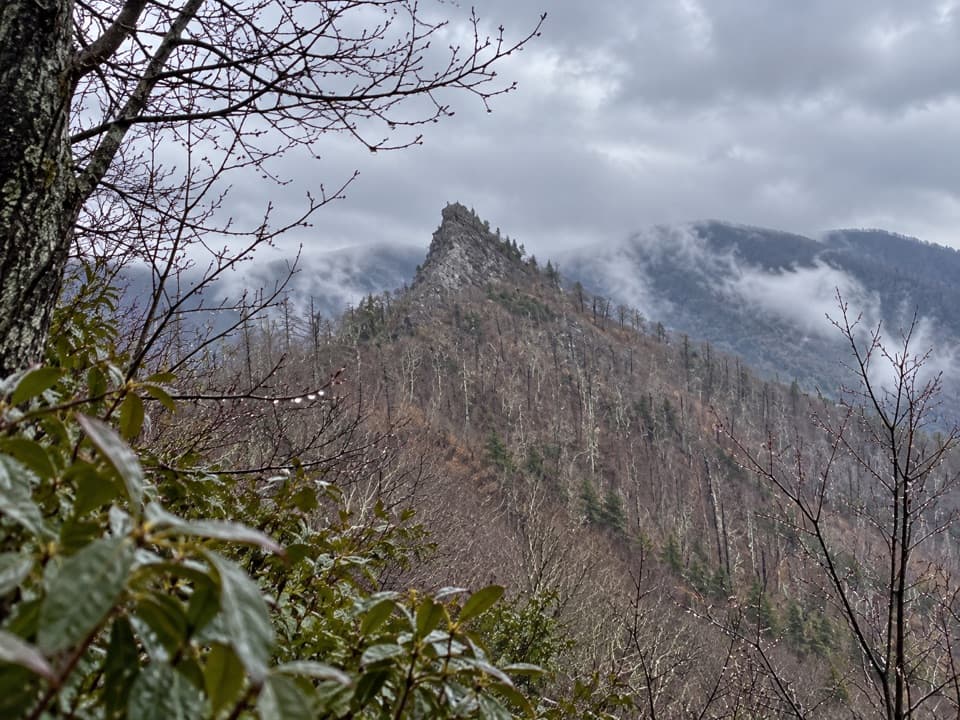
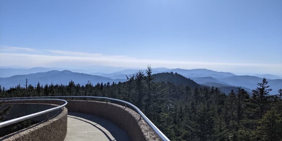
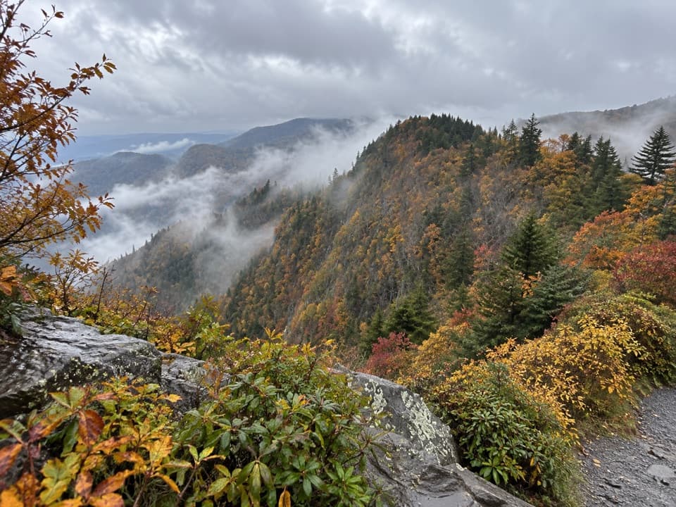
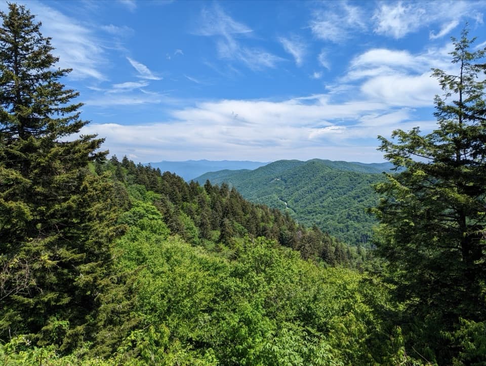
The trail drops steadily from the road, passing a spring that runs across the path before entering high evergreen forest. Expect uneven, rocky tread. About a mile below the road, it traverses an east-facing slope where the view opens over the Deep Creek watershed toward North Carolina. Switchbacks bring you back to Fork Ridge, where the grade eases briefly. This slope is the clearest place to pause for the layered mountain view.

The final descentAfter a short stretch on the ridge, the trail turns into a long descent toward Deep Creek Gap.

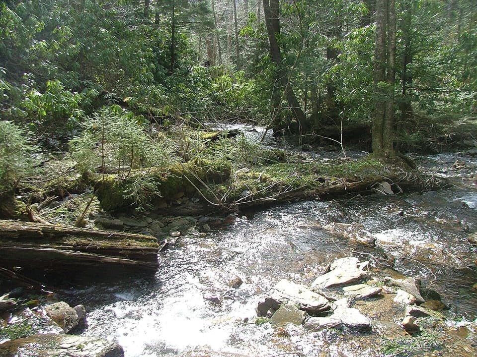
After a short stretch on the ridge, the trail turns into a long descent toward Deep Creek Gap. Near the bottom it drops steeply through a cove, crossing a small boggy patch before reaching Deep Creek. The trail crosses the creek and ends at Deep Creek Trail; campsite 53 is about 50 yards downstream. The creek crossing is difficult, so check the water and footing before attempting it.

A route through Deep Creek GapDeep Creek Gap was a convenient passage between upper Deep Creek and Left Fork for Smoky…

Deep Creek Gap was a convenient passage between upper Deep Creek and Left Fork for Smoky Mountain hunters, with camps on both sides. If you are continuing to an overnight stay at campsite 53, you need a backcountry permit and advance reservation. Pets are not allowed on this trail.

Wildlife

Wildlife in Great Smoky Mountains

All Great Smoky Mountains wildlife maps

Sighting maps show where each species has been reported across Great Smoky Mountains. Wildlife moves, so no sighting is guaranteed.

Keep exploring

Near Fork Ridge Trail

See it all on the map

Trails that start nearby

Places near the trailhead

Parkwolf’s Great Smoky Mountains ranking

Top-rated trails in Great Smoky Mountains

All 197 trails
  1. 1Mount Le Conte via Alum Cave TrailChallenging · 10 mi
  2. 2Charlies Bunion via Appalachian TrailModerate · 8 mi
  3. 3Alum Cave Trail to Alum Cave BluffsModerate · 4.6 mi
  4. 4Ramsey Cascades TrailChallenging · 8 mi
  5. 5Mount Cammerer TrailChallenging · 11.1 mi
  6. 6Gregory Ridge TrailChallenging · 11.4 mi

Take Parkwolf to Great Smoky Mountains.

The audio tour guide for the drive, plus offline maps, trails, and wildlife heatmaps for when the signal drops.

4.7 from 8,600+ ratings

Download Parkwolf on the App StoreGet Parkwolf on Google Play