Mount Le Conte via Rainbow Falls Trail in Great Smoky Mountains National Park

Great Smoky Mountains National Park, TN · NC

Mount Le Conte via Rainbow Falls Trail

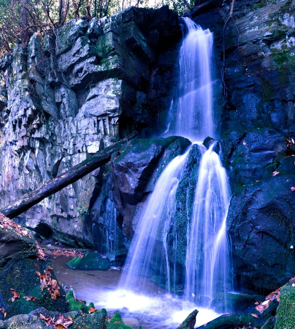
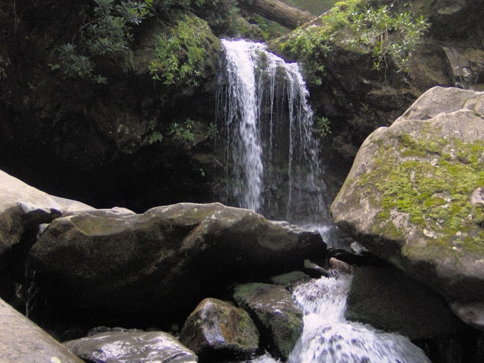
Rainbow Falls is the first milestone on this long Le Conte climb.

Photo: Wikimedia Commons
Length
13mi
Time
9hr
Elev. change
3,763ft
Difficulty
Challenging
  • No dogs
  • High point 6,407 ft
  • #26 of 197 in Great Smoky Mountains

Hear the audio tour

Rainbow Falls Trailhead

Overview

About Mount Le Conte via Rainbow Falls Trail

Why go

  • Rainbow Falls and the high country come on the same full-day route.
  • Two signed summit overlooks reward the long climb.

Heads up

  • A steep, rocky 13-mile day with a long descent.
  • The waterfall is only the first part of the summit hike.

Map & elevation

The route

Loading the Great Smoky Mountains map
Full map
Elevation2,644–6,407 ft
TrailheadRainbow Falls Trailhead, Cherokee Orchard Road35.67571, -83.48566
Keep this map with you offline in the Parkwolf app

Plan your hike

Before you go

Parking

Rainbow Falls Trailhead on Cherokee Orchard Road. The route starts by the southeast side of the parking area; upper and lower lots serve the trailhead. Parking is limited and often full, so consider a shuttle. A Smokies parking tag is required if you leave your vehicle for more than 15 minutes.

Safety

Steep, rocky trail with stairs and a long descent. Cold weather can bring ice and falling icicles; traction devices are recommended in winter. Pets are not allowed.

7 active Great Smoky Mountains alerts

  • ClosureBullhead Trail weekday rehabilitation closureMentions Bullhead Trail, referenced in this guideBullhead Trail is closed Monday through Thursday, excluding federal holidays, through November 19 for rehabilitation work.Official details
  • ClosureHurricane Helene backcountry trail closures and hazardsHurricane Helene damage has closed backcountry trails and left hazardous crossings; avoid closed routes and heed trail-specific restrictions.Official details
See all 7 alerts
A park ranger sits on a dash-mounted phone, talking, as Parkwolf’s Tour Guide plays “Army Cutworm Moths: A Grizzly Bear Buffet” on Grand Loop Road below Dunraven Pass in Yellowstone
Parkwolf Tour GuideThe highest, rockiest slopes around here are a summer buffet for grizzly bears.

Great Smoky Mountains Tour Guide

Your drive to Mount Le Conte via Rainbow Falls Trail, narrated.

Parkwolf is a GPS audio tour guide for Great Smoky Mountains National Park. As you drive, it chimes in with what’s ahead: hidden gems, upcoming stops, history, geology, and wildlife, right through your car’s speakers.

See the Great Smoky Mountains audio tour

Recorded for this trailhead

Rainbow Falls Trailhead
0:00 / 0:26
“The Rainbow Falls trailhead is ahead, the start of a steep, rocky hike to an eighty-foot waterfall. Allow four to five hours for the five point six-mile round trip, with about fifteen hundred feet of climbing.”

Plays as you drive up to this trailhead in the Parkwolf Great Smoky Mountains Tour Guide.

More stories near here in the app

  • Baskins Creek Falls Trailhead
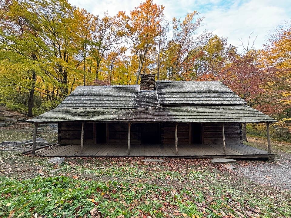
  • Noah Bud Ogle Place
  • The Cicada's Sound Panels
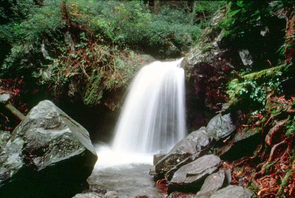
  • Grotto Falls from Trillium Gap
  • 188 audio storiesacross Great Smoky Mountains’s roads, triggered by GPS as you drive
  • Wildlife heatmapsfor Black Bear, Elk, Bald Eagle, and 13 more
  • Works offlinemaps, 197 trails, 100 places, and audio download before you lose signal
  • CarPlay readysimple controls built for the drive
★★★★★
“Fantastic app with many points of information… It’s great to just turn on while you’re driving and it gives you an audio tour of the national Park. We love it!!!!”
JMJamesApp Store review
Download Parkwolf on the App StoreGet Parkwolf on Google Play

4.7 from 8,600+ ratings

Trail guide

Hiking Mount Le Conte via Rainbow Falls Trail

A full day to Mount Le ConteMount Le Conte via Rainbow Falls Trail is a strenuous 13-mile out-and-back from Rainbow Falls…

Mount Le Conte via Rainbow Falls Trail is a strenuous 13-mile out-and-back from Rainbow Falls Trailhead to the mountain’s summit area. The mapped trail corridor runs about 6.4 miles one way, then you return the same way. Give it most of a day; nine hours leaves room for Rainbow Falls and the summit views without rushing the descent. This is the route to choose if you want the waterfall and the mountain in one hike. If the falls are your main goal, the shorter 5.6-mile round trip to Rainbow Falls is a sensible alternative. Other published estimates run 13.6–13.8 miles; check the map before deciding how far to walk around the summit.

Rainbow Falls is the first milestoneThe lower trail follows LeConte Creek through forest on a boulder-strewn path.

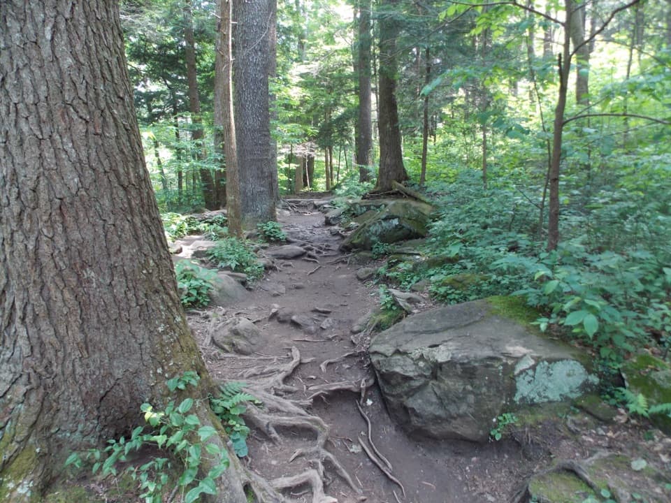
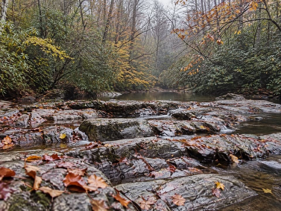
The lower trail follows LeConte Creek through forest on a boulder-strewn path. You cross three bridges before Rainbow Falls, a tall drop over layered rock into the creek. The lower approach also passes old-growth trees and scars from a 2016 fire; higher up, rhododendron, sand myrtle, and mountain laurel bloom in spring. The waterfall is the payoff for the shorter hike, but here it comes early, about 2.2 to 2.8 miles in depending on which published distance you use. Keep going and the trail soon turns into a sustained climb. On a sunny afternoon, mist can catch a rainbow below the falls; a view that includes the creek or footbridge gives the waterfall some scale.

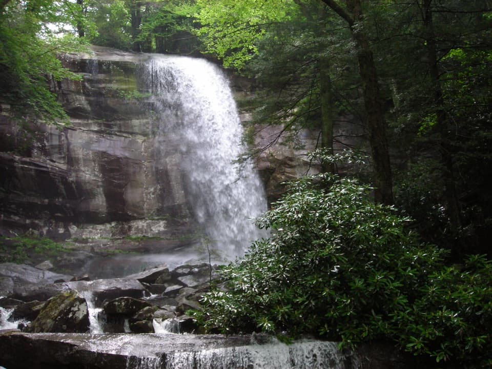
The climb beyond the fallsAfter the bridge below the waterfall, the route keeps climbing through forest and rhododendron.

After the bridge below the waterfall, the route keeps climbing through forest and rhododendron. The next roughly 3.2 miles gain more than 1,700 feet before the Bullhead Trail junction. At that junction, stay on the Le Conte route; continue straight where Alum Cave Trail turns away, then follow the signs toward the summit area. Trillium Gap Trail also meets the approach near the top, so pay attention at the junctions rather than following a different Mount Le Conte route by mistake.

Where the summit views areThe trail reaches the LeConte Lodge area before the high point.

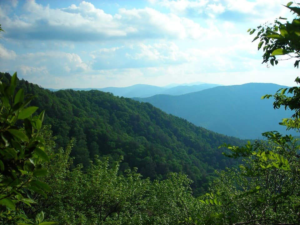
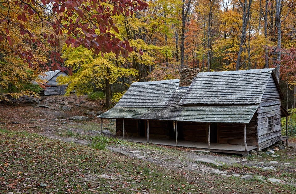
The trail reaches the LeConte Lodge area before the high point. A short side path leads to the lodge; the main route continues toward High Top, at 6,593 feet. High Top itself is marked by a cairn and does not have the broadest view. The signed spurs to Cliff Top and Myrtle Point are the better choices for the panorama. Myrtle Point opens toward a near-360-degree view, while Cliff Top is close to the lodge. Those viewpoints add a little summit-area walking beyond the main 13-mile trail figure. The lodge began with a cabin Paul Adams built after leading Washington visitors up the mountain to make the case for a national park. When the lodge is operating, day hikers can buy drinks, sack lunches, and baked goods there; it is a separate stop near the top, not a trailhead service.

What the effort feels likeThis is a long, steep climb on rocky trail with stairs, followed by the same descent.

This is a long, steep climb on rocky trail with stairs, followed by the same descent. The elevation profile rises roughly 3,800 feet from the trailhead to the upper end of the mapped route. The distance, grade, and uneven footing make this a hard day, even for a regular hiker; the waterfall is not a good place to decide casually whether to continue. Cold weather can bring ice and falling icicles on the trail, so traction devices matter in winter.

Access and rulesStart at Rainbow Falls Trailhead on Cherokee Orchard Road; the trail begins by the southeast…

Start at Rainbow Falls Trailhead on Cherokee Orchard Road; the trail begins by the southeast side of the parking area, and both upper and lower lots serve the trailhead. Parking is limited and often full, so consider a shuttle. A Smokies parking tag is required if you leave your vehicle for more than 15 minutes, and there is a restroom at the trailhead. Pets are not allowed on this route. The 13-mile length is the full out-and-back; the shorter falls-only walk turns back at Rainbow Falls.

Wildlife

Wildlife in Great Smoky Mountains

All Great Smoky Mountains wildlife maps

Sighting maps show where each species has been reported across Great Smoky Mountains. Wildlife moves, so no sighting is guaranteed.

Keep exploring

Near Mount Le Conte via Rainbow Falls Trail

See it all on the map

Trails that start nearby

Places near the trailhead

Parkwolf’s Great Smoky Mountains ranking

Top-rated trails in Great Smoky Mountains

All 197 trails
  1. 1Mount Le Conte via Alum Cave TrailChallenging · 10 mi
  2. 2Charlies Bunion via Appalachian TrailModerate · 8 mi
  3. 3Alum Cave Trail to Alum Cave BluffsModerate · 4.6 mi
  4. 4Ramsey Cascades TrailChallenging · 8 mi
  5. 5Mount Cammerer TrailChallenging · 11.1 mi
  6. 6Gregory Ridge TrailChallenging · 11.4 mi

Take Parkwolf to Great Smoky Mountains.

The audio tour guide for the drive, plus offline maps, trails, and wildlife heatmaps for when the signal drops.

4.7 from 8,600+ ratings

Download Parkwolf on the App StoreGet Parkwolf on Google Play