Check access before planning
The pavilion is seasonal, and use depends on the park's reservation calendar. Drop-in use is allowed only when no reservation is in place, so check the current picnic schedule before planning a gathering or detour.
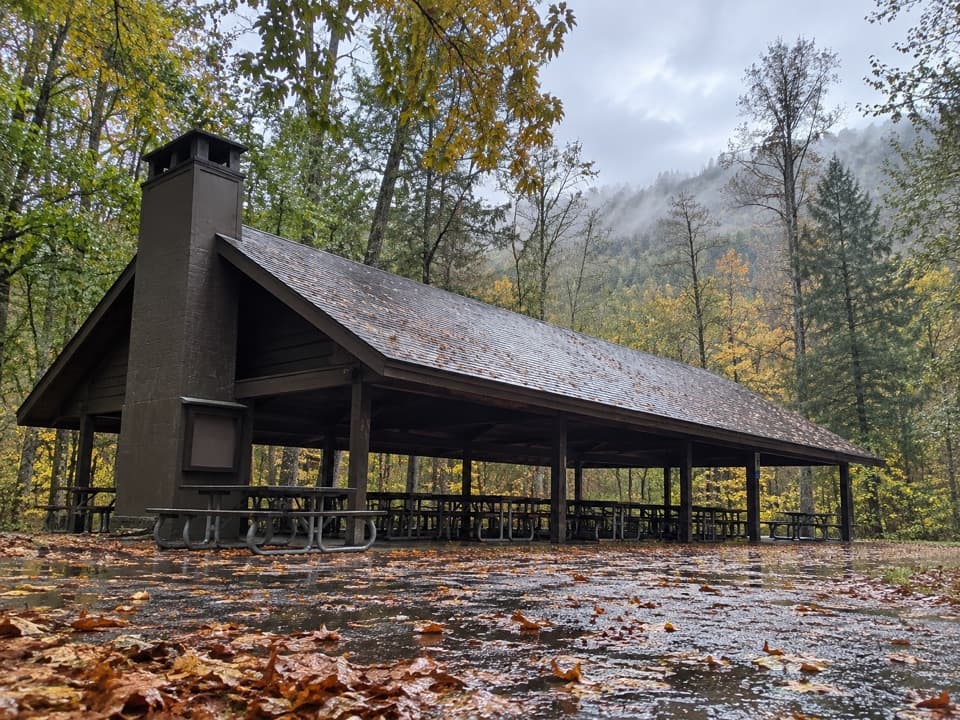
Picnic area · Great Smoky Mountains National Park
A wooded group pavilion for gatherings of up to 150.
Overview
Map
Plan your stop

The highest, rockiest slopes around here are a summer buffet for grizzly bears.
Great Smoky Mountains Tour Guide
Parkwolf is a GPS audio tour guide for Great Smoky Mountains National Park. As you drive, it chimes in with what’s ahead: hidden gems, upcoming stops, history, geology, and wildlife, right through your car’s speakers.
See the Great Smoky Mountains audio tourRecorded for this area
The Cicada's Sound Panels“That loud summer buzzing from the trees can be male cicadas calling for mates. Each has ribbed panels on its body called tymbals. Muscles pull on the panels, making their ribs buckle and produce clicks.”
Plays near Twin Creeks Picnic Pavilion in the Parkwolf Great Smoky Mountains Tour Guide.
More stories near here in the app
“Fantastic app with many points of information… It’s great to just turn on while you’re driving and it gives you an audio tour of the national Park. We love it!!!!”


Guide
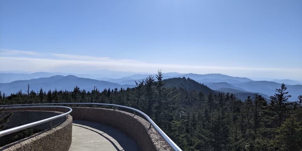
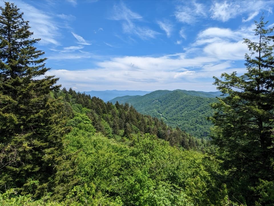
Twin Creeks Picnic Pavilion is a large, roofed group shelter in a wooded setting near Gatlinburg and the Roaring Fork Motor Nature Trail. It seats up to 150, and there are no smaller picnic sites at this location. Save it for a planned group meal or gathering, rather than a quick stop to find one free table.
The site has picnic tables and benches, charcoal grills, parking, a seasonal restroom, and an electrical outlet for charging a phone. The grills are for charcoal only; wood fires aren't allowed. Pets are permitted on leash and can't be left unattended.
Wildlife
 1,569 sightingsBlack BearMost seen around 7 PMSighting map
 900 sightingsElkMost seen around 7 AMSighting map
 13 sightingsBald EagleMost seen around 9 AMSighting map
 142 sightingsTimber RattlesnakeMost seen around 6 PMSighting map
 26 sightingsBobcatMost seen around 8 PMSighting map
 42 sightingsRiver OtterMost seen around 7 AMSighting map
Sighting maps show where each species has been reported across Great Smoky Mountains. Wildlife moves, so no sighting is guaranteed.
Keep exploring
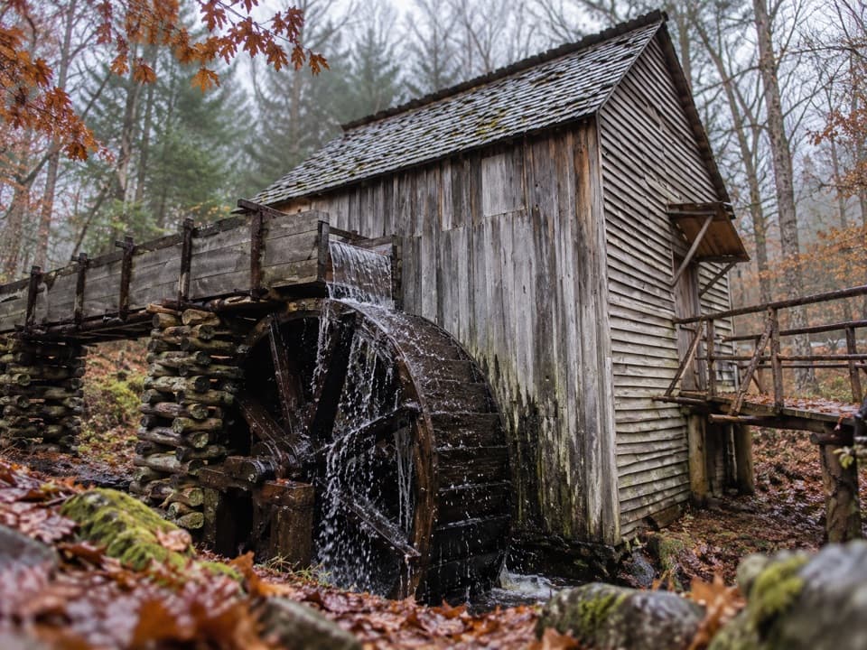
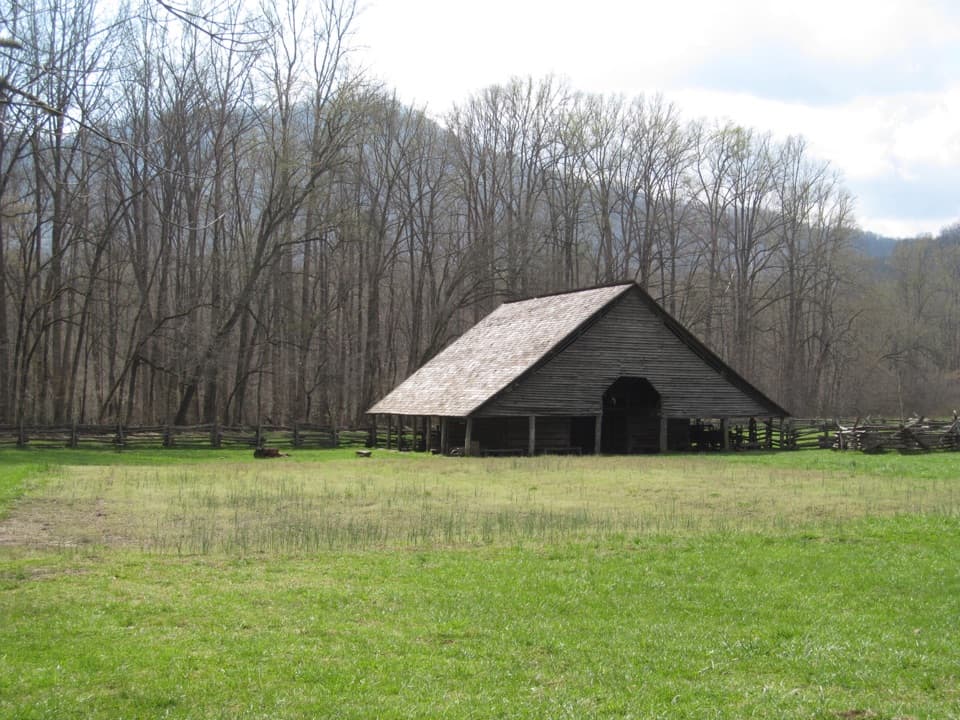
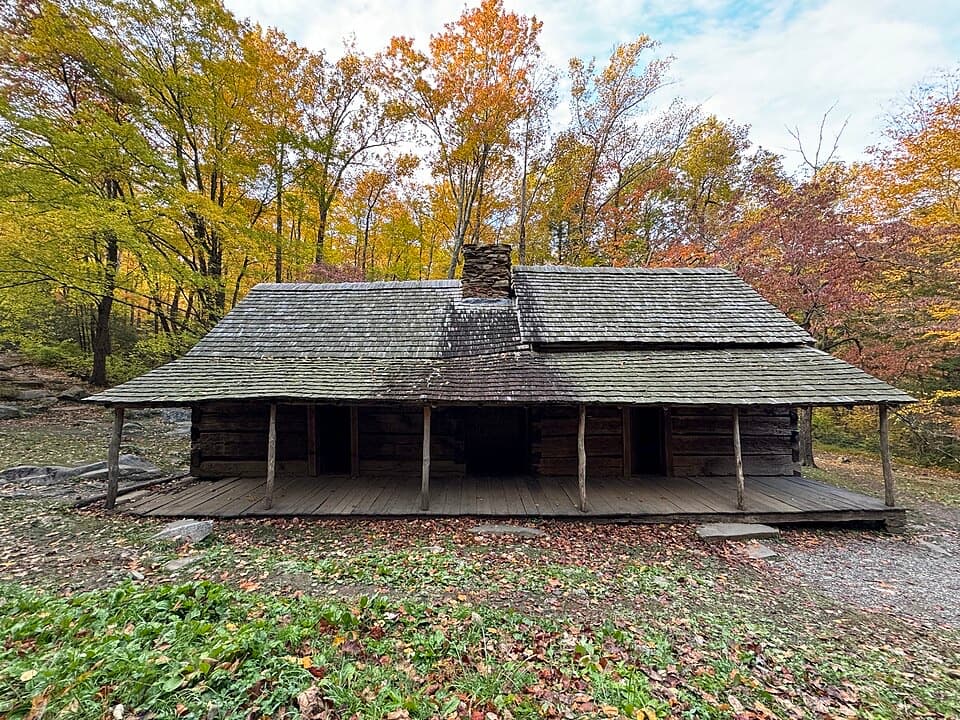 EasyNoah “Bud” Ogle Place Nature Trail0.8 mi · 45 min · 0.7 mi awayA short farmstead loop to a cabin, mill and log barn.
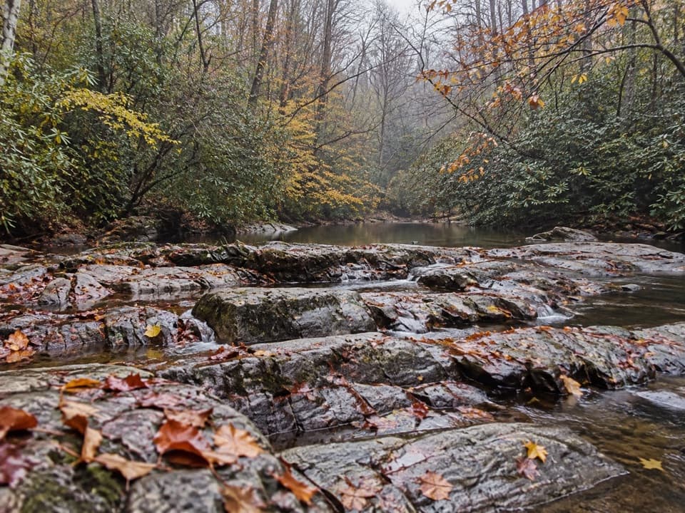 ModerateTwin Creeks Trail3.8 mi · 2.3 hr · 1.1 mi awayA shaded creek walk with a historic retreat near its far end.
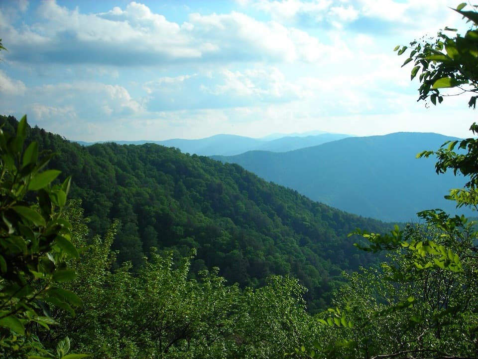 ChallengingBullhead Trail to Mount Le Conte13.6 mi · 10 hr · 1.1 mi awayA long, steep route to Le Conte with exposed ridge views.
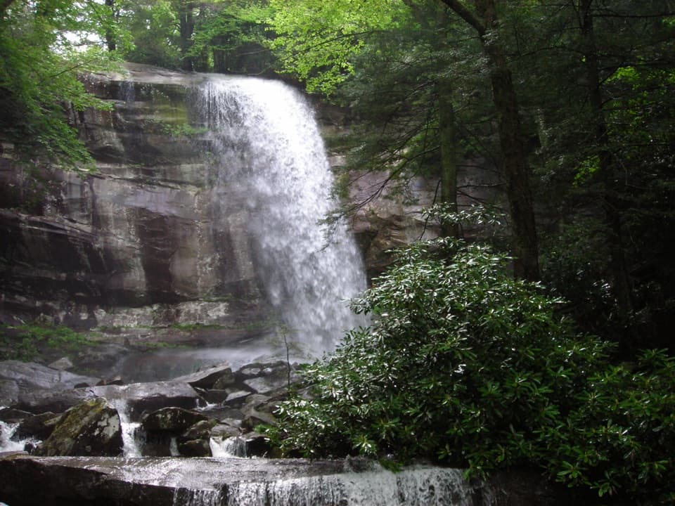 ChallengingRainbow Falls Trail5.6 mi · 4.5 hr · 1.2 mi awayClimb a boulder-lined creek valley to an 80-foot waterfall.ChallengingMount Le Conte via Rainbow Falls Trail13 mi · 9 hr · 1.2 mi awayRainbow Falls is the first milestone on this long Le Conte climb.
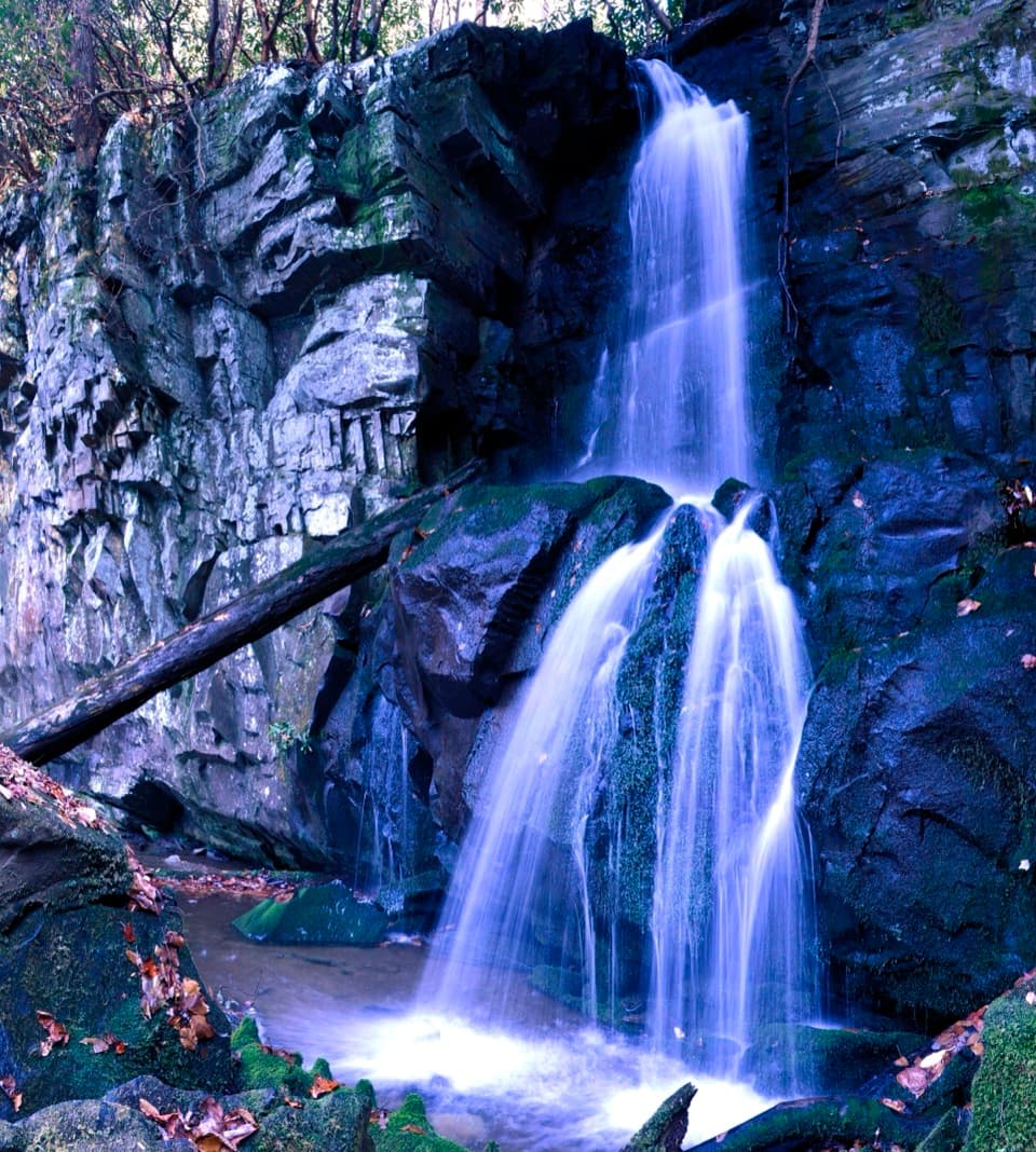 ModerateBaskins Creek Trail to Baskins Creek Falls3.3 mi · 2.5 hr · 1.5 mi awayA waterfall walk with a steep finish and a climb back.
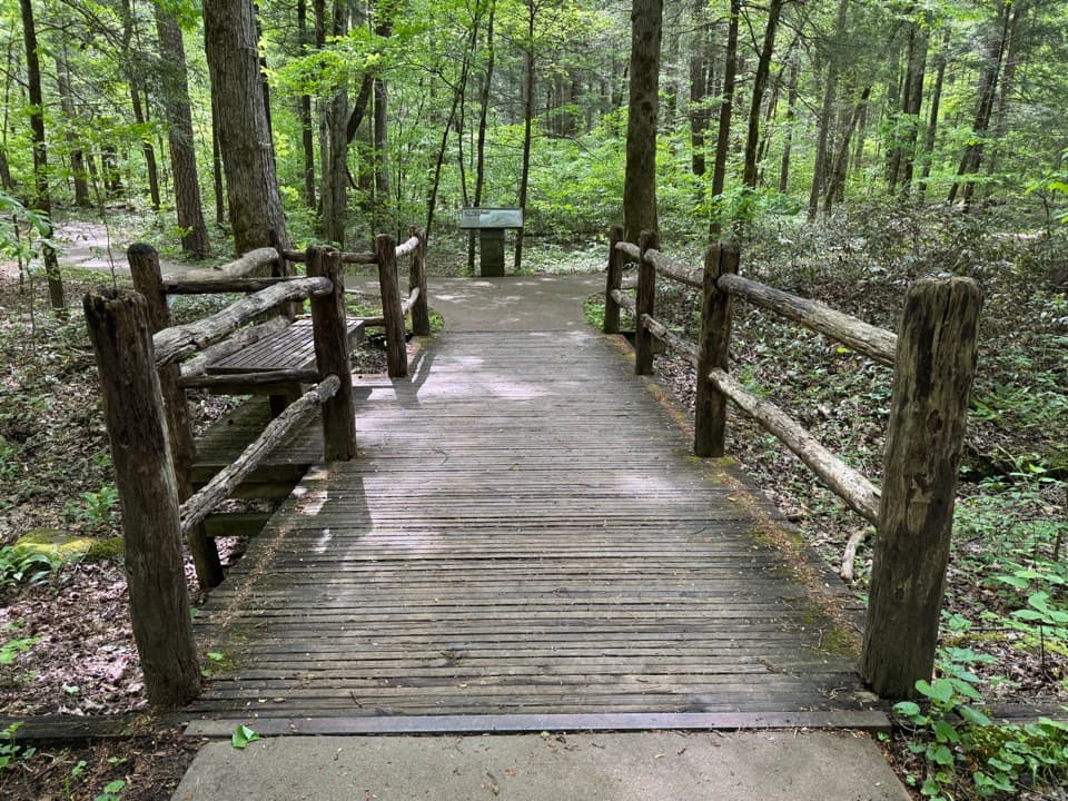 EasySugarlands Valley Nature Trail0.5 mi · 15 min · 1.7 mi awayA flat forest loop with chimneys, streamside views, and an easy pace.
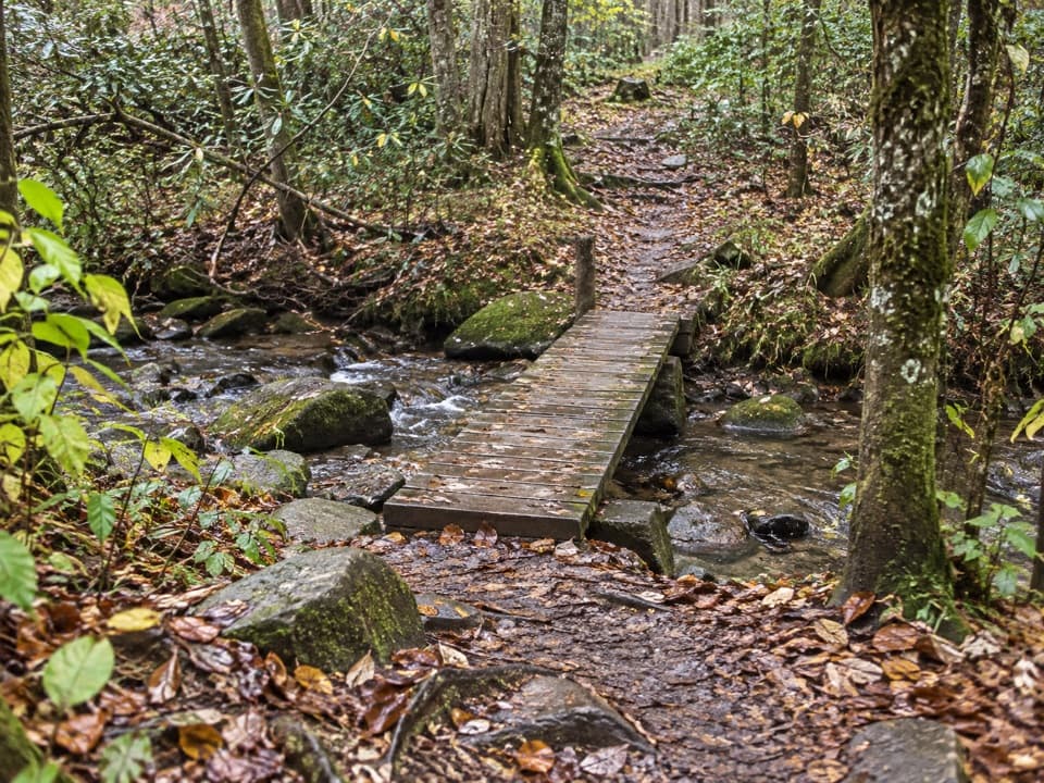 EasyBullhead View Quiet Walkway0.2 mi · 15 min · 1.7 mi awayA short riverside walk reached by steep steps and a creek bridge.
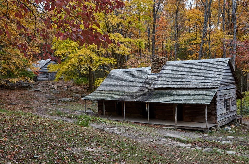 Sight · 0.8 mi awayNoah Bud Ogle PlaceA rare saddlebag cabin beside a creek-powered mill.Sight · 1.2 mi awayBaskins Creek FallsA two-tier waterfall, earned by a steep hike back out.
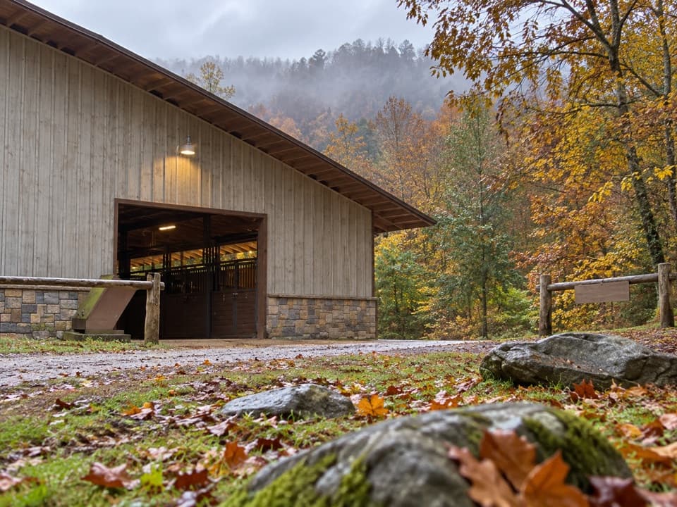 Sight · 1.7 mi awaySugarlands Riding StablesGuided rides on wooded trails, streams, and mountain terrain.
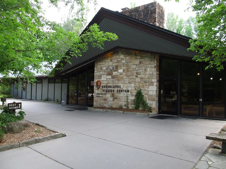 Visitor center · 1.9 mi awaySugarlands Visitor CenterGet your bearings with a bear exhibit, ranger advice, and trail map.
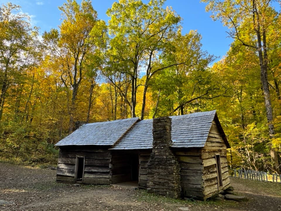 Sight · 2 mi awayEphraim Bales CabinA family farm preserved down to its dog-trot breezeway.
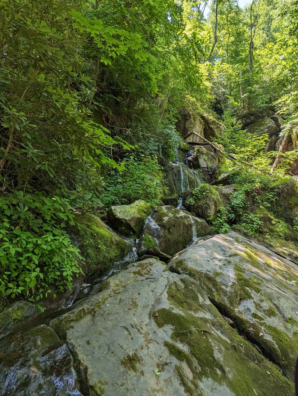 Sight · 2 mi awayPlace of a Thousand DripsA roadside cascade with no approach hike.
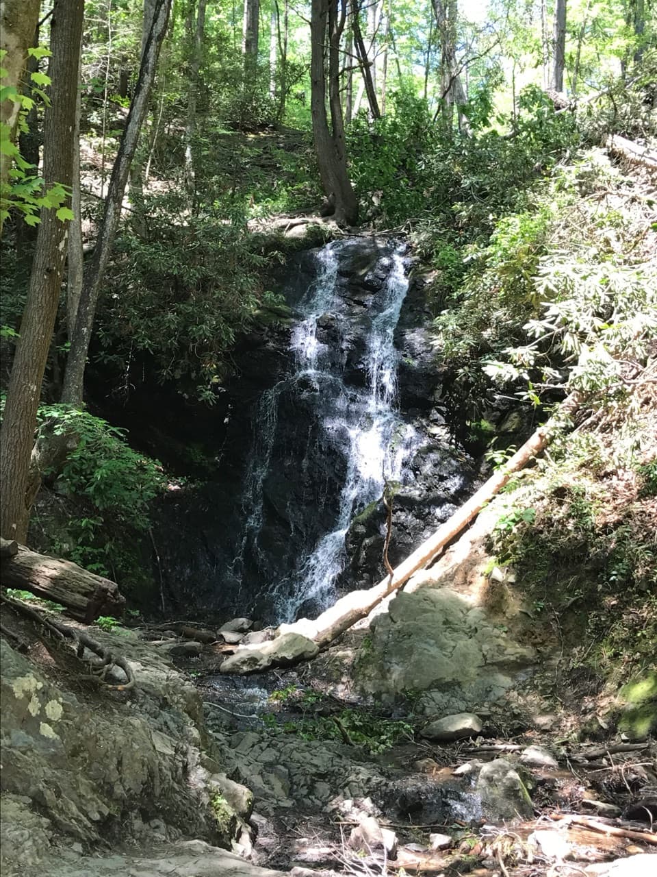 Sight · 2.1 mi awayCataract FallsA small waterfall after a short creekside walk from Sugarlands.
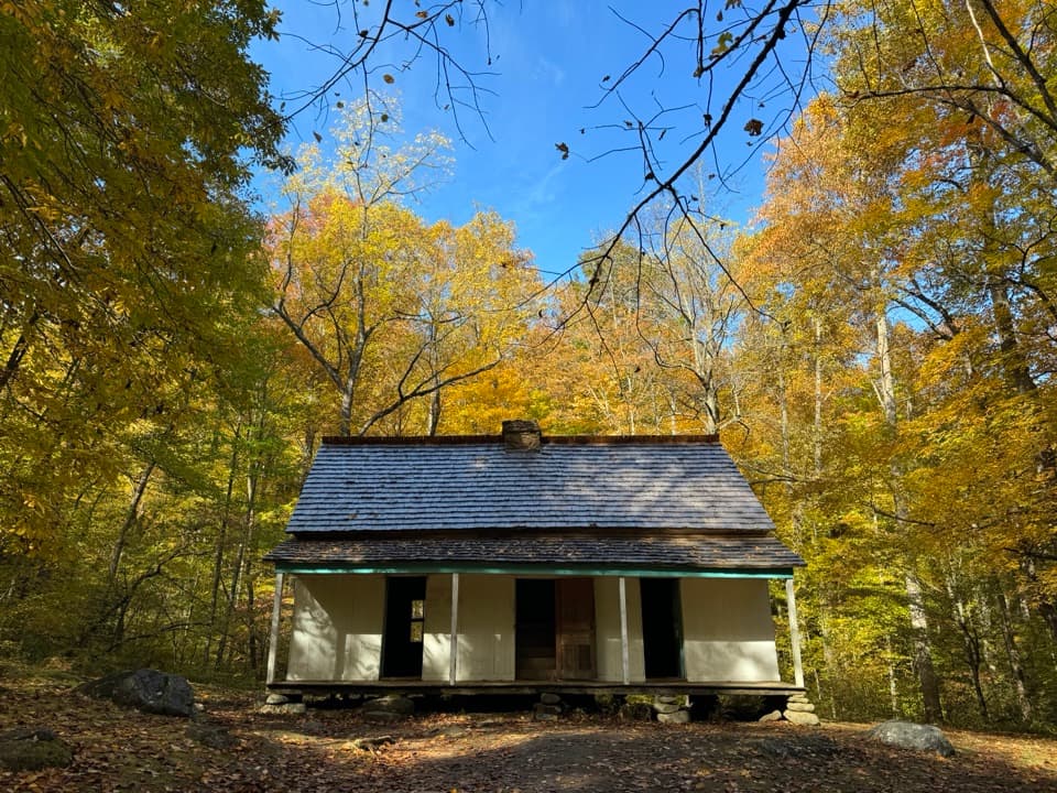 Sight · 2.1 mi awayAlfred Reagan House and Tub MillA quick stop for a Smokies homestead and its historic tub mill.
Parkwolf’s Great Smoky Mountains ranking

The audio tour guide for the drive, plus offline maps, trails, and wildlife heatmaps for when the signal drops.