Bullhead Trail to Mount Le Conte in Great Smoky Mountains National Park

Great Smoky Mountains National Park, TN · NC

Bullhead Trail to Mount Le Conte

A long, steep route to Le Conte with exposed ridge views.

Photo: Wikimedia Commons
Length
13.6mi
Time
10hr
Elev. change
3,796ft
Difficulty
Challenging
  • No dogs
  • High point 6,407 ft
  • #23 of 197 in Great Smoky Mountains

Hear the audio tour

Rainbow Falls Trailhead

Overview

About Bullhead Trail to Mount Le Conte

Why go

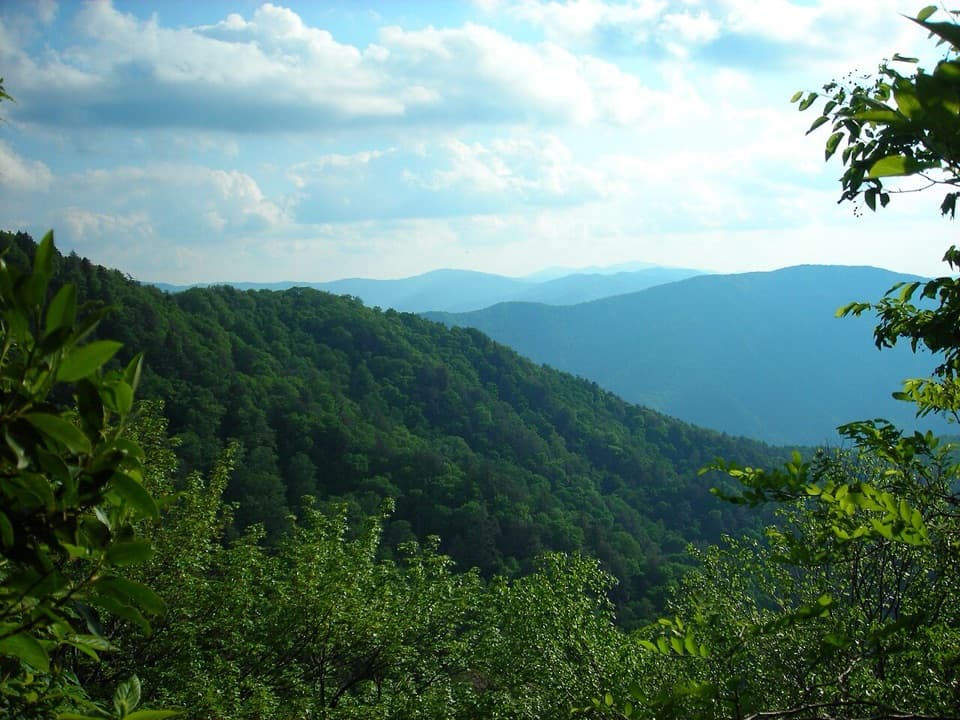
  • Open, sustained Smokies views from Bullhead’s heath bald and ridge.
  • The Pulpit cairn gives the climb a memorable historic marker.

Heads up

  • A 13.6-mile strenuous day with rocky footing and a long climb.
  • Exposed sections have little shade, and the shared lot often fills.

Map & elevation

The route

Loading the Great Smoky Mountains map
Full map
Elevation2,612–6,407 ft
TrailheadRainbow Falls/Bullhead Trailhead35.67386, -83.49319
Keep this map with you offline in the Parkwolf app

Plan your hike

Before you go

Parking

Use the shared Rainbow Falls/Bullhead Trailhead parking area on Cherokee Orchard Road. It often fills, so consider a shuttle. Follow gravel Old Sugarlands Trail about 0.4 mile to the Bullhead junction. Pit toilets are at the trailhead. A parking tag is required if you leave your vehicle for more than 15 minutes.

Safety

Steep, rocky footing and a sustained climb; exposed slopes have little shade. Winter ice and falling icicles are recurring hazards. Carry enough water for the full day; no dependable refill point was verified. Dogs are prohibited.

7 active Great Smoky Mountains alerts

  • ClosureBullhead Trail weekday rehabilitation closureMentions Bullhead Trail, referenced in this guideBullhead Trail is closed Monday through Thursday, excluding federal holidays, through November 19 for rehabilitation work.Official details
  • ClosureHurricane Helene backcountry trail closures and hazardsHurricane Helene damage has closed backcountry trails and left hazardous crossings; avoid closed routes and heed trail-specific restrictions.Official details
See all 7 alerts
A park ranger sits on a dash-mounted phone, talking, as Parkwolf’s Tour Guide plays “Army Cutworm Moths: A Grizzly Bear Buffet” on Grand Loop Road below Dunraven Pass in Yellowstone
Parkwolf Tour GuideThe highest, rockiest slopes around here are a summer buffet for grizzly bears.

Great Smoky Mountains Tour Guide

Your drive to Bullhead Trail to Mount Le Conte, narrated.

Parkwolf is a GPS audio tour guide for Great Smoky Mountains National Park. As you drive, it chimes in with what’s ahead: hidden gems, upcoming stops, history, geology, and wildlife, right through your car’s speakers.

See the Great Smoky Mountains audio tour

Recorded for this trailhead

Rainbow Falls Trailhead
0:00 / 0:26
“The Rainbow Falls trailhead is ahead, the start of a steep, rocky hike to an eighty-foot waterfall. Allow four to five hours for the five point six-mile round trip, with about fifteen hundred feet of climbing.”

Plays as you drive up to this trailhead in the Parkwolf Great Smoky Mountains Tour Guide.

More stories near here in the app

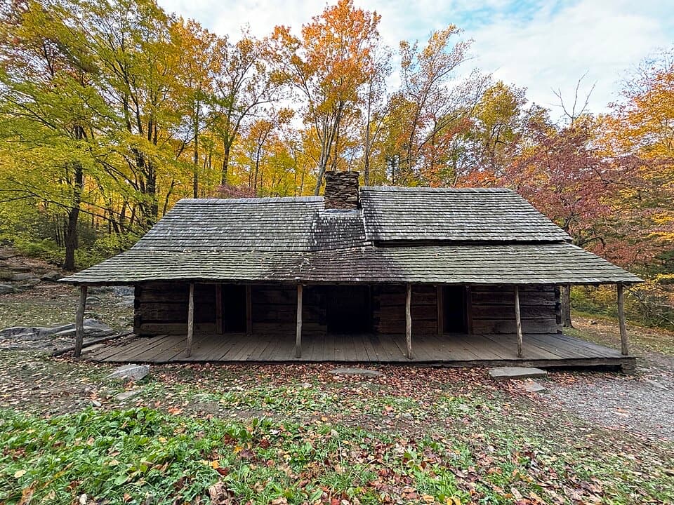
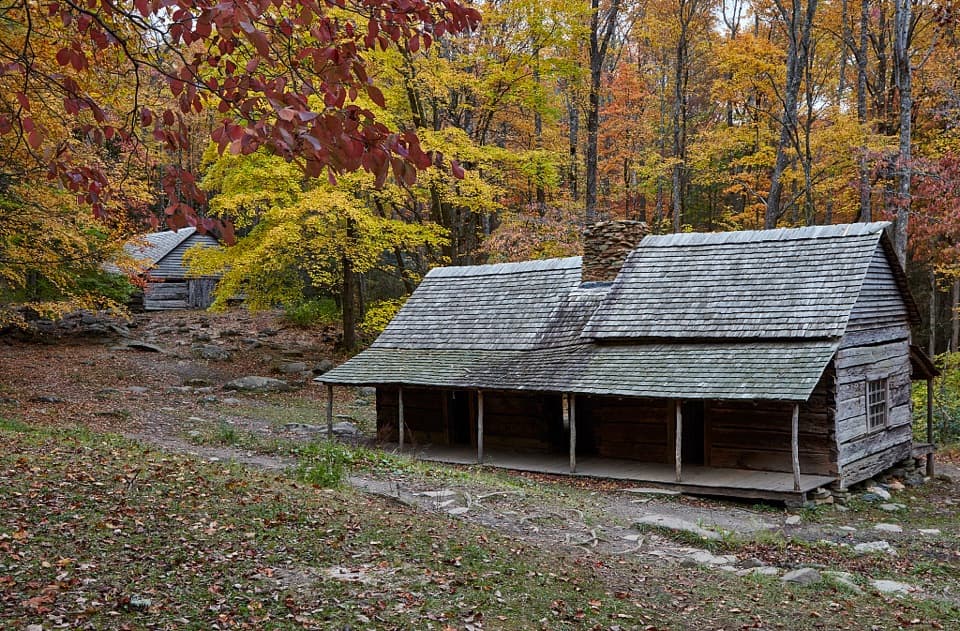
  • Noah Bud Ogle Place
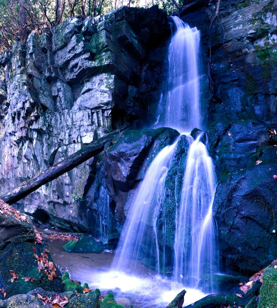
  • Baskins Creek Falls Trailhead
  • The Cicada's Sound Panels
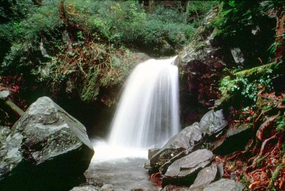
  • Grotto Falls from Trillium Gap
  • 188 audio storiesacross Great Smoky Mountains’s roads, triggered by GPS as you drive
  • Wildlife heatmapsfor Black Bear, Elk, Bald Eagle, and 13 more
  • Works offlinemaps, 197 trails, 100 places, and audio download before you lose signal
  • CarPlay readysimple controls built for the drive
★★★★★
“Fantastic app with many points of information… It’s great to just turn on while you’re driving and it gives you an audio tour of the national Park. We love it!!!!”
JMJamesApp Store review
Download Parkwolf on the App StoreGet Parkwolf on Google Play

4.7 from 8,600+ ratings

Trail guide

Hiking Bullhead Trail to Mount Le Conte

The all-day Le Conte routeBullhead Trail is a strenuous 13.

Bullhead Trail is a strenuous 13.6-mile out-and-back from Rainbow Falls/Bullhead Trailhead on Cherokee Orchard Road to the Le Conte lodge area. It is one of the park’s five approaches to Mount Le Conte. The walk starts with about 0.4 mile on gravel Old Sugarlands Trail, then climbs over a rocky ridge and heath-covered bald into the high country. Budget about ten hours with breaks. It is a serious day of steep climbing, but the open ridge gives you long views across the Smokies. If you are aiming for Rainbow Falls itself, this is the wrong route.

Get on the right trailFrom the shared parking area, follow the gravel Old Sugarlands road to the Bullhead junction…

From the shared parking area, follow the gravel Old Sugarlands road to the Bullhead junction and turn left. Higher up, continue straight at the Rainbow Falls and Alum Cave trail junctions toward Le Conte. The Rainbow Falls waterfall walk is a different hike, and combining routes into a loop changes the total mileage. The 13.6-mile figure is the full Bullhead out-and-back from the parking area, including the access walk each way; it is not a loop.

Bullhead and its open ridgeThe lower climb is steep and rocky, with cliff faces close to the trail.

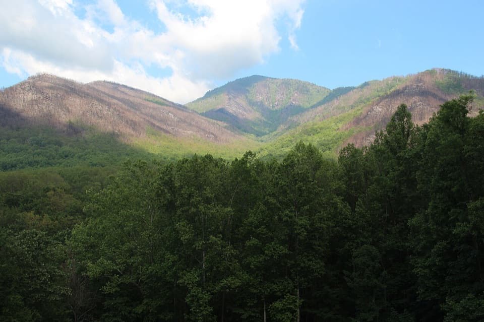
The lower climb is steep and rocky, with cliff faces close to the trail. Around the first mile, the route reaches the heath-covered Bullhead bald, whose shape is said to resemble a bull’s head from a distance. Open slopes and wooded stretches alternate as you continue up the ridge. The long views are the payoff, but some of the most exposed sections have little shade, especially in hot weather.

A former lookout called The PulpitAbout three miles in, a large stone cairn known as The Pulpit marks the site of an old lookout.

About three miles in, a large stone cairn known as The Pulpit marks the site of an old lookout. It dates to the Civilian Conservation Corps era. The 2016 Chimney Tops fire removed much of the vegetation that once screened views here; today the route’s panorama comes from the open ridge itself. This is a useful place to pause, but it is not the end of the climb.

What to expect near Le ConteAt the upper junctions, stay on the route toward Mount Le Conte.

At the upper junctions, stay on the route toward Mount Le Conte. The lodge sits near the route’s end; the wooded High Top summit cairn itself does not have a broad vista. Nearby Cliff Top and Myrtle Point offer better-known viewpoints if you deliberately add those short side trips. Le Conte Lodge is a separate seasonal stop where day hikers can buy baked goods, drinks, or a sack lunch when it is operating. Carry enough water for the whole return; a dependable refill point along this route could not be confirmed.

Make the day manageableThe return covers the same rugged corridor, so save energy for the descent and the walk back to…

The return covers the same rugged corridor, so save energy for the descent and the walk back to the lot. The shared parking area often fills; plan around a shuttle if needed, and a parking tag is required when leaving a vehicle for more than 15 minutes. Dogs are not allowed on this trail. In cold weather, ice and falling icicles are recurring hazards, and traction such as microspikes is recommended. Bring water and food for a full day rather than relying on the lodge.

Wildlife

Wildlife in Great Smoky Mountains

All Great Smoky Mountains wildlife maps

Sighting maps show where each species has been reported across Great Smoky Mountains. Wildlife moves, so no sighting is guaranteed.

Keep exploring

Near Bullhead Trail to Mount Le Conte

See it all on the map

Trails that start nearby

Places near the trailhead

Parkwolf’s Great Smoky Mountains ranking

Top-rated trails in Great Smoky Mountains

All 197 trails
  1. 1Mount Le Conte via Alum Cave TrailChallenging · 10 mi
  2. 2Charlies Bunion via Appalachian TrailModerate · 8 mi
  3. 3Alum Cave Trail to Alum Cave BluffsModerate · 4.6 mi
  4. 4Ramsey Cascades TrailChallenging · 8 mi
  5. 5Mount Cammerer TrailChallenging · 11.1 mi
  6. 6Gregory Ridge TrailChallenging · 11.4 mi

Take Parkwolf to Great Smoky Mountains.

The audio tour guide for the drive, plus offline maps, trails, and wildlife heatmaps for when the signal drops.

4.7 from 8,600+ ratings

Download Parkwolf on the App StoreGet Parkwolf on Google Play