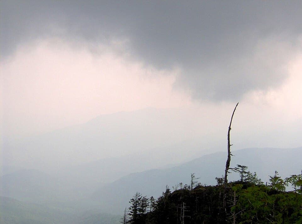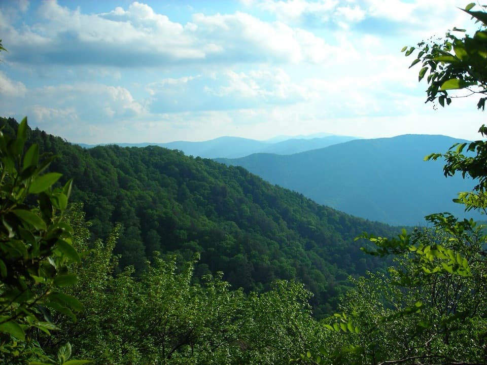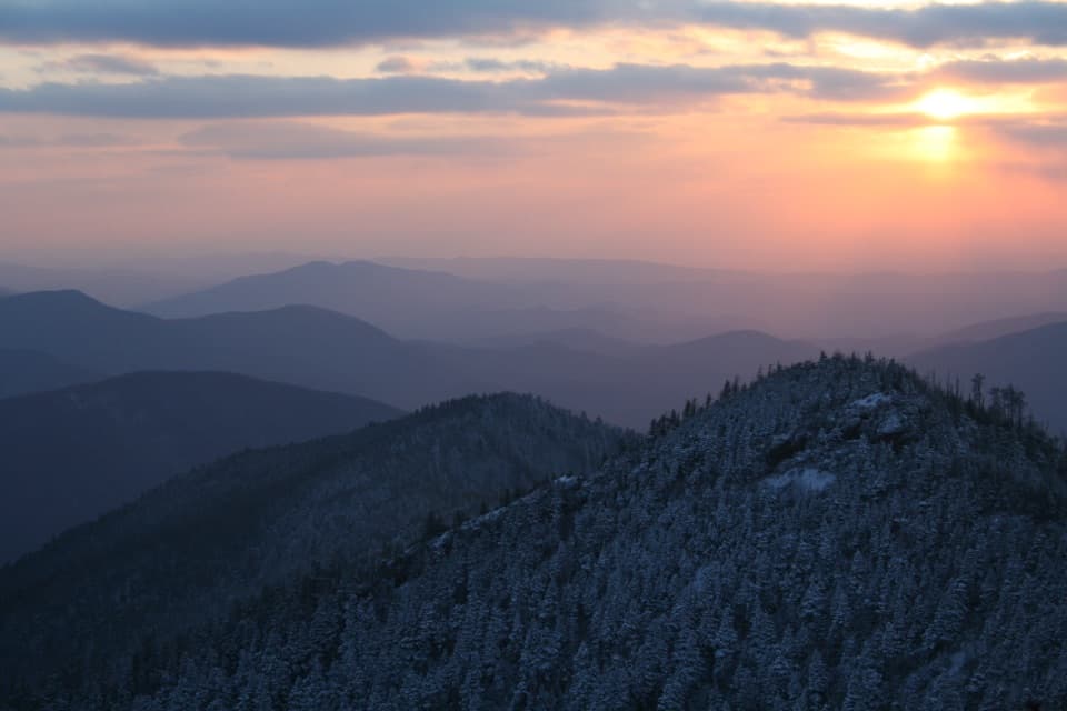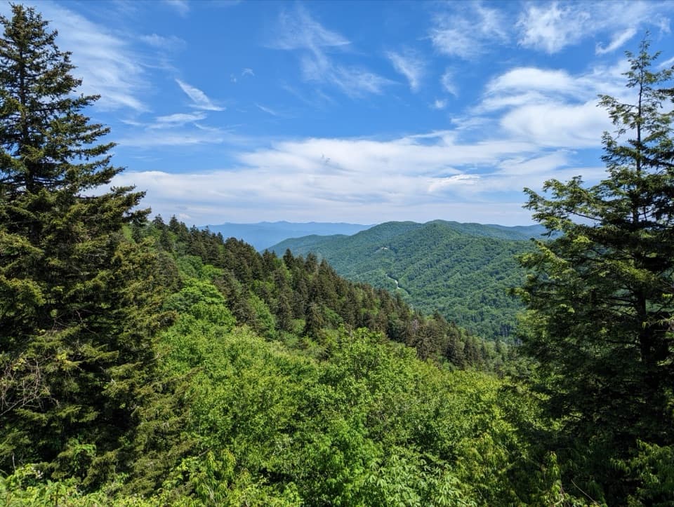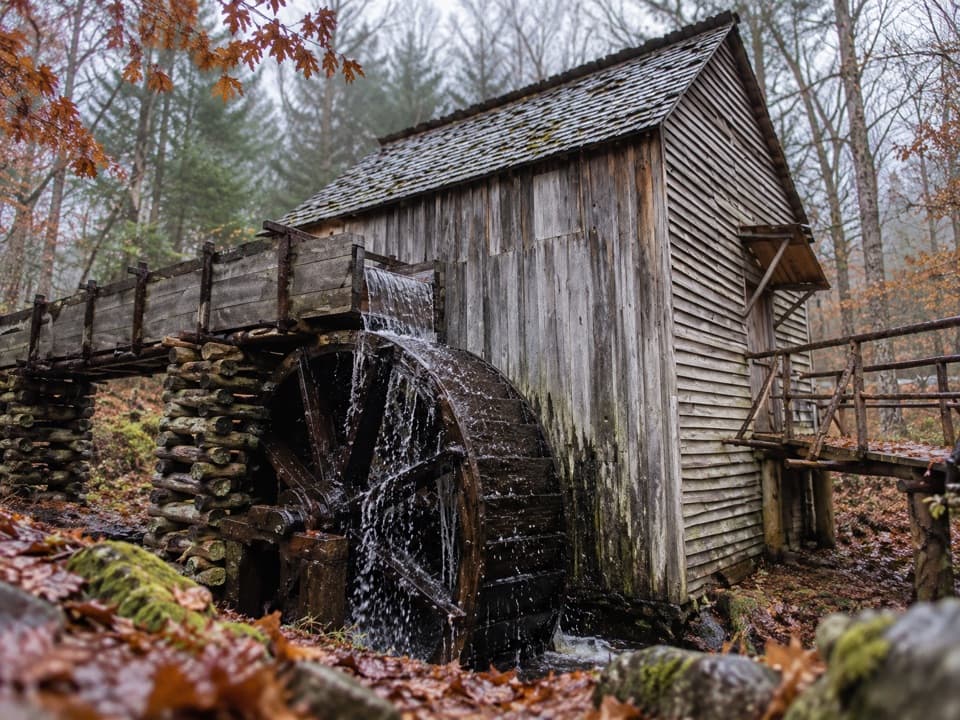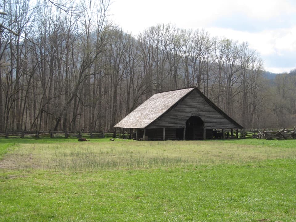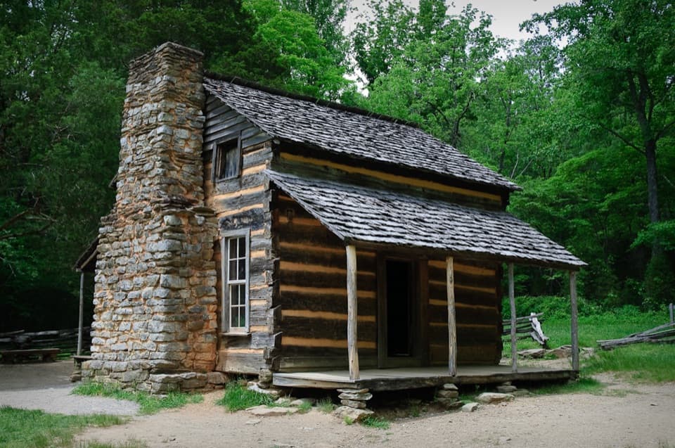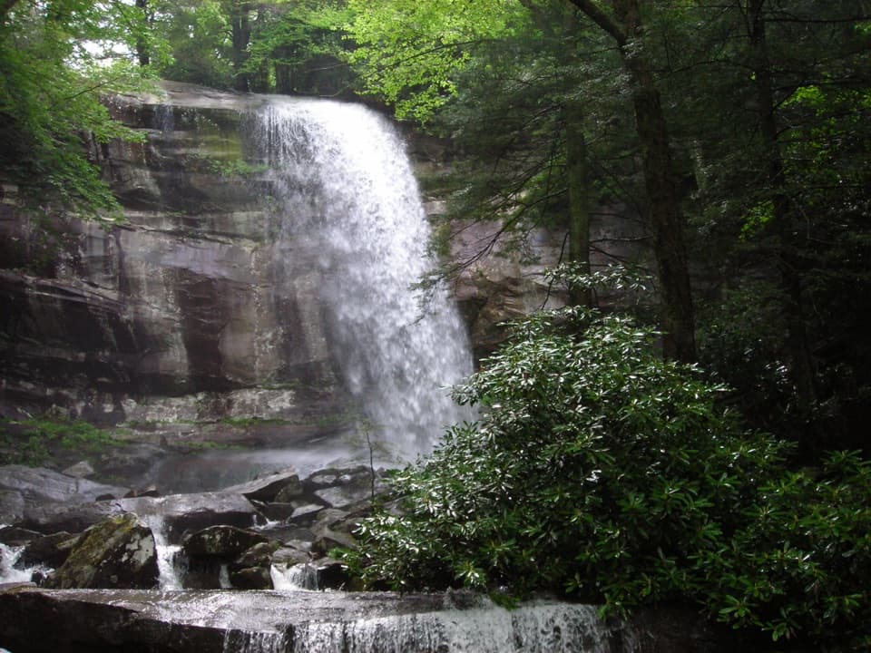
Rainbow Falls in Great Smoky Mountains National Park

#10 of 104 sights in Great Smoky Mountains

Sight · Great Smoky Mountains National Park

Rainbow Falls

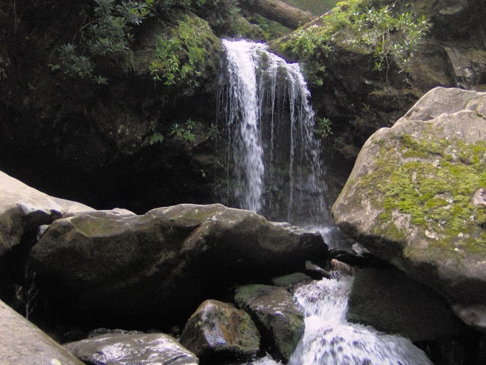
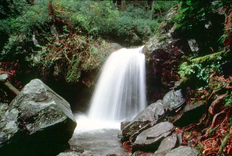
A steep Smokies climb to a waterfall named for its rainbows.

Photo: Wikimedia Commons
Type
Sight
Nearest trail
1.2 mi
Audio stories
4 nearby
  • Trailhead
  • Parking
  • Restrooms
  • Scenic viewpoint

Hear the audio tour

Rainbow Falls Trailhead

Overview

About Rainbow Falls

Why stop

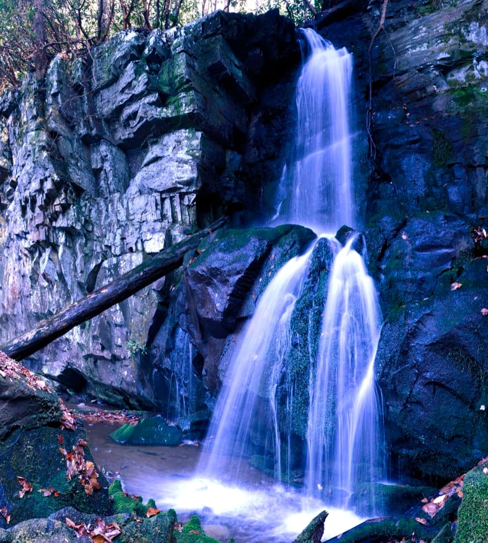
  • The waterfall has a distinctive rainbow-in-the-mist namesake.
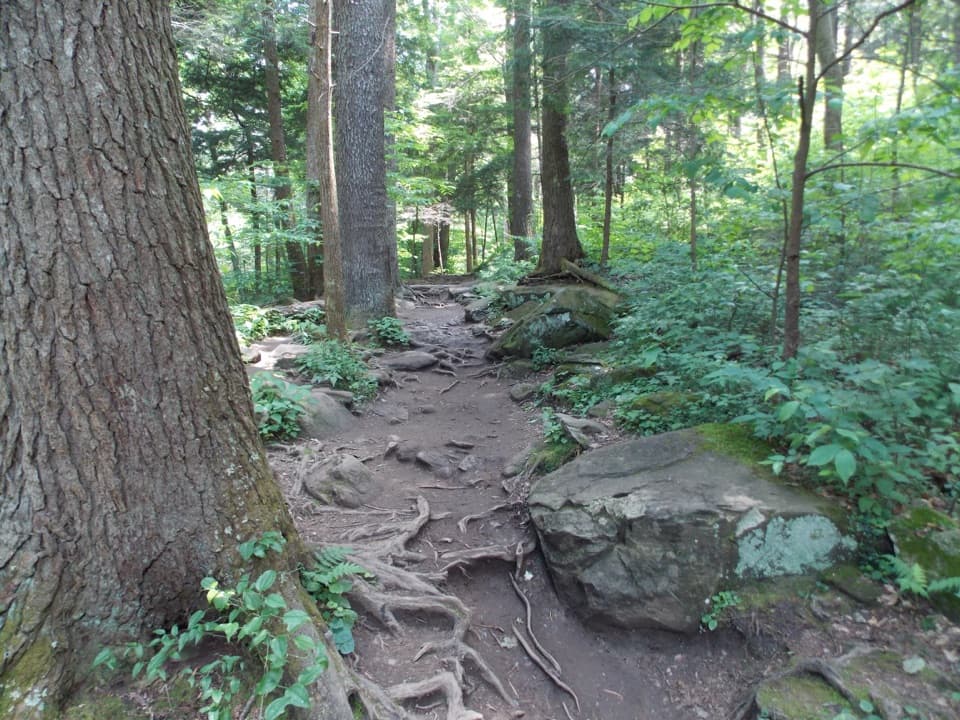
  • Smaller cascades, streams and bridges give the uphill route variety.

Heads up

  • A steep, rocky 5.6-mile round trip with about 1,500 feet of climbing.
  • Trailhead parking is limited and crowding can be heavy.

Map

Where it is

Loading the Great Smoky Mountains map
Full map
SightRainbow Falls35.66234, -83.46344
Keep this map with you offline in the Parkwolf app

Plan your stop

Before you go

7 active Great Smoky Mountains alerts

  • ClosureHurricane Helene trail damage and backcountry restrictionsHurricane Helene damage has restricted backcountry trail access; avoid damaged crossings and observe trail-specific limits.Official details
  • CautionBear-related trail, campsite, and road restrictionsBear activity has closed trails, a shelter, and campsites and restricted pedestrian access on Cherokee Orchard Road; stay out of closed areas and follow vehicle-only rules.Official details

See all 7 alerts
A park ranger sits on a dash-mounted phone, talking, as Parkwolf’s Tour Guide plays “Army Cutworm Moths: A Grizzly Bear Buffet” on Grand Loop Road below Dunraven Pass in Yellowstone
Parkwolf Tour GuideThe highest, rockiest slopes around here are a summer buffet for grizzly bears.

Great Smoky Mountains Tour Guide

Your drive to Rainbow Falls, narrated.

Parkwolf is a GPS audio tour guide for Great Smoky Mountains National Park. As you drive, it chimes in with what’s ahead: hidden gems, upcoming stops, history, geology, and wildlife, right through your car’s speakers.

See the Great Smoky Mountains audio tour

Recorded for this place

Rainbow Falls Trailhead
0:00 / 0:26
“The Rainbow Falls trailhead is ahead, the start of a steep, rocky hike to an eighty-foot waterfall. Allow four to five hours for the five point six-mile round trip, with about fifteen hundred feet of climbing.”

Plays as you drive up to Rainbow Falls in the Parkwolf Great Smoky Mountains Tour Guide.

More stories near here in the app

  • Grotto Falls from Trillium Gap
  • Baskins Creek Falls Trailhead
  • Chimney Tops Trailhead
  • Noah Bud Ogle Place
  • 200 audio storiesacross Great Smoky Mountains’s roads, triggered by GPS as you drive
  • Wildlife heatmapsfor Black Bear, Elk, Bald Eagle, and 13 more
  • Works offlinemaps, 197 trails, 137 places, and audio download before you lose signal
  • CarPlay readysimple controls built for the drive
★★★★★
“Fantastic app with many points of information… It’s great to just turn on while you’re driving and it gives you an audio tour of the national Park. We love it!!!!”
JMJamesApp Store review
Download Parkwolf on the App StoreGet Parkwolf on Google Play

4.7 from 8,600+ ratings

Guide

More about Rainbow Falls

A waterfall at the end of a hard climbRainbow Falls is a major waterfall on the Tennessee side of Great Smoky Mountains National…

Rainbow Falls is a major waterfall on the Tennessee side of Great Smoky Mountains National Park, reached from Cherokee Orchard by a steep out-and-back hike. The trip to the falls is 5.6 miles round trip with about 1,500 feet of climbing. Plan for a substantial half day; this is a hike, not a quick stop from the road.

Sort out the trailhead firstThe trailhead has upper and lower parking lots, but spaces are limited and the approach is…

The trailhead has upper and lower parking lots, but spaces are limited and the approach is known for heavy crowding. Arrive early and give yourself time to find a legal space. A Smokies parking tag is required when you park for more than 15 minutes. Pit toilets are at the trailhead.

The climb has its own payoffsThe route passes through varied forest.

The route passes through varied forest. Hikers often mention the smaller cascades, streams and bridges along the way, and the park notes old-growth trees and scars left by the 2016 fire. The trail is steep and rocky, so expect a sustained climb underfoot rather than an easy woodland stroll.

Watch for the namesake rainbowThe falls are named for the rainbow that often appears in the mist at their base on sunny…

The falls are named for the rainbow that often appears in the mist at their base on sunny afternoons. It is a possibility, not a guarantee. For a photo, include the spray and the base of the falls, where the rainbow forms, instead of framing only the rock face.

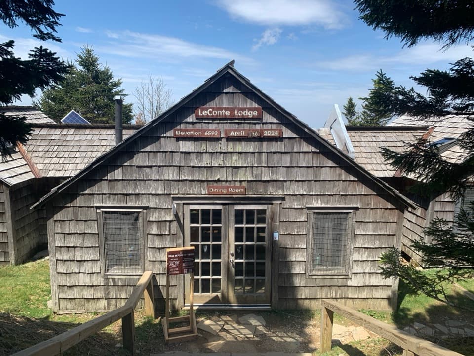
The trail continues beyond the fallsThe same route also leads toward Mount LeConte; its summit is 6.

The same route also leads toward Mount LeConte; its summit is 6.7 miles from the Rainbow Falls trailhead. Pets are not allowed on this trail. The falls make a substantial destination on their own, while the continuing route is a much longer mountain outing.

Wildlife

Wildlife in Great Smoky Mountains

All Great Smoky Mountains wildlife maps

Sighting maps show where each species has been reported across Great Smoky Mountains. Wildlife moves, so no sighting is guaranteed.

Keep exploring

Near Rainbow Falls

See it all on the map

Trails nearby

More stops nearby

Parkwolf’s Great Smoky Mountains ranking

Top sights in Great Smoky Mountains

All 137 places
  1. 1Kuwohi Observation TowerSight
  2. 2Newfound Gap OverlookSight
  3. 3Cable Mill Historic AreaSight
  4. 4Mountain Farm MuseumSight
  5. 5John Oliver CabinSight
  6. 6Mingus MillSight

Take Parkwolf to Great Smoky Mountains.

The audio tour guide for the drive, plus offline maps, trails, and wildlife heatmaps for when the signal drops.

4.7 from 8,600+ ratings

Download Parkwolf on the App StoreGet Parkwolf on Google Play