Hughes Ridge Trail in Great Smoky Mountains National Park

Great Smoky Mountains National Park, TN · NC

Hughes Ridge Trail

A remote ridge connector to the Appalachian Trail at Pecks Corner

Length
4.6mi
Time
3.5hr
Elev. change
797ft
Difficulty
Moderate
  • No dogs
  • High point 5,653 ft
Parkwolf audio tour188 stories across Great Smoky Mountains’s roads

Overview

About Hughes Ridge Trail

Why go

  • Connects directly to the Appalachian Trail at Pecks Corner.
  • Spring wildflowers and high-elevation spruce give the long approach a distinct payoff.

Heads up

  • The south end requires several miles of backcountry approach.
  • The one-way finish at Pecks Corner needs a continuation or return plan.

Map & elevation

The route

Loading the Great Smoky Mountains map
Full map
Elevation4,856–5,653 ft
TrailheadChasteen Creek Trail junction, south end of Hughes Ridge Trail35.60879, -83.28134
Keep this map with you offline in the Parkwolf app

Plan your hike

Before you go

Parking

Small parking area at the far end of Smokemont Campground’s D loop; a parking tag is required. Reach the south end via the Bradley Creek and Chasteen Creek trails, or use the separate Bradley Fork approach to join Hughes Ridge farther north. The approaches differ in mileage and meet different points on the route, so check the map before setting out. Restrooms are at the campground.

Safety

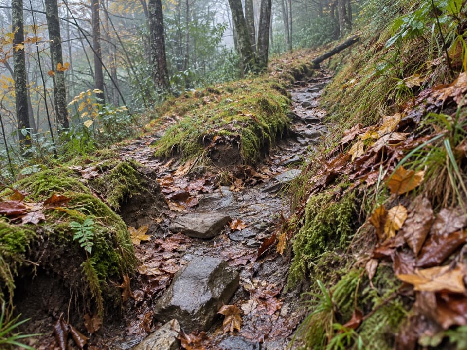
This is a remote point-to-point route, and the approach includes steep, rocky terrain. Confirm the access junction and plan an exit or return from Pecks Corner before starting. Dogs are not allowed on this trail; overnight use of Backcountry Campsite 50 requires a permit.

7 active Great Smoky Mountains alerts

  • ClosureHurricane Helene backcountry trail closures and hazardsHurricane Helene damage has closed backcountry trails and left hazardous crossings; avoid closed routes and heed trail-specific restrictions.Official details
  • CautionBear-related trail, road, shelter, and campsite restrictionsBear activity has closed trails, a shelter, and campsites and restricted pedestrian access on Cherokee Orchard Road; follow the vehicle restrictions and avoid closed areas.Official details
See all 7 alerts
A park ranger sits on a dash-mounted phone, talking, as Parkwolf’s Tour Guide plays “Army Cutworm Moths: A Grizzly Bear Buffet” on Grand Loop Road below Dunraven Pass in Yellowstone
Parkwolf Tour GuideThe highest, rockiest slopes around here are a summer buffet for grizzly bears.

Great Smoky Mountains Tour Guide

Your drive to Hughes Ridge Trail, narrated.

Parkwolf is a GPS audio tour guide for Great Smoky Mountains National Park. As you drive, it chimes in with what’s ahead: hidden gems, upcoming stops, history, geology, and wildlife, right through your car’s speakers.

See the Great Smoky Mountains audio tour

More stories near here in the app

  • A Nursery Built One Pebble at a Time
  • The Dragonfly's Empty Suit
  • Hyatt Ridge Trailhead
  • Smokemont and Chasteen Creek Cascade
  • 188 audio storiesacross Great Smoky Mountains’s roads, triggered by GPS as you drive
  • Wildlife heatmapsfor Black Bear, Elk, Bald Eagle, and 13 more
  • Works offlinemaps, 197 trails, 100 places, and audio download before you lose signal
  • CarPlay readysimple controls built for the drive
★★★★★
“Fantastic app with many points of information… It’s great to just turn on while you’re driving and it gives you an audio tour of the national Park. We love it!!!!”
JMJamesApp Store review
Download Parkwolf on the App StoreGet Parkwolf on Google Play

4.7 from 8,600+ ratings

Trail guide

Hiking Hughes Ridge Trail

The routeHughes Ridge Trail is a 4.

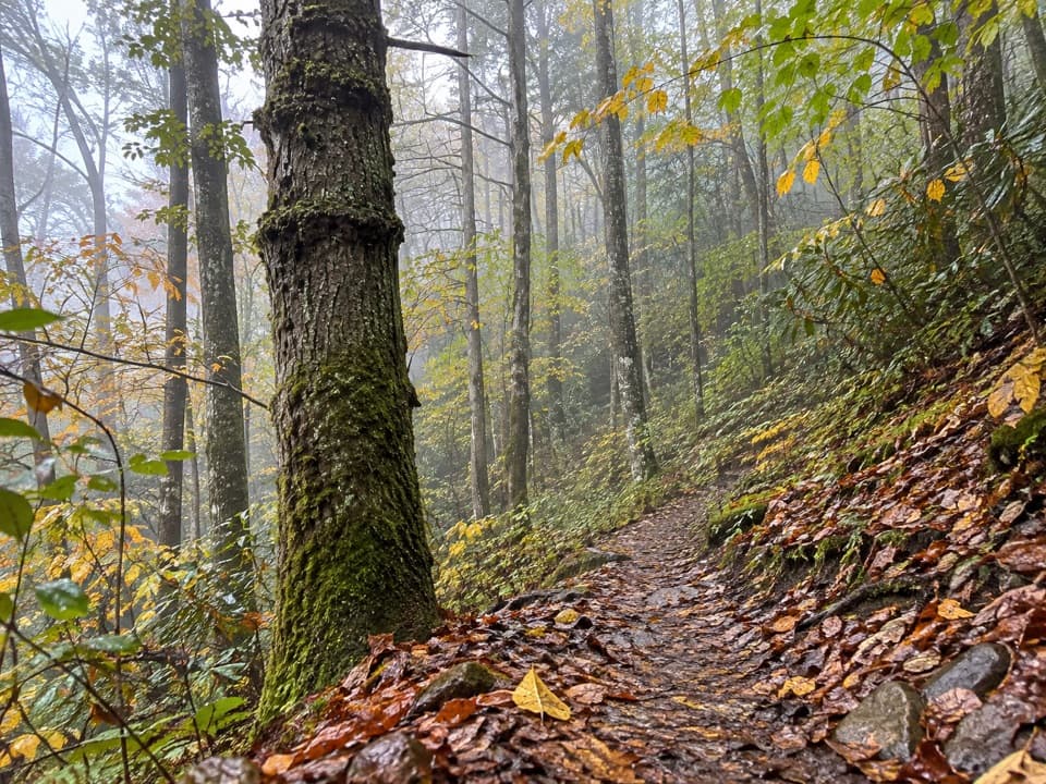
Hughes Ridge Trail is a 4.6-mile, one-way point-to-point walk from the Chasteen Creek Trail junction to the Appalachian Trail at Pecks Corner. It climbs, dips, then rises through high backcountry forest. Plan about 3½ hours for this segment alone, with roughly 1,300 feet of ascent. It suits backpackers connecting to the AT; it is a poor choice for a quick roadside hike.

Getting to the startThe south end lies several miles beyond Smokemont Campground.

The south end lies several miles beyond Smokemont Campground. One described approach follows Bradley Creek Trail for 1.1 miles, then Chasteen Creek Trail for 4.1 miles, about 5.2 miles before Hughes Ridge begins. A separate approach on Bradley Fork reaches the ridge farther north, near its midpoint; that route's rougher final stretch is steep and rocky. These approaches reach different junctions, so confirm your route and add the access mileage to the 4.6 miles. The small parking area is at the far end of Smokemont Campground's D loop, and a parking tag is required. Pecks Corner is on the AT, not at a road, so plan how your trip continues or returns.

Along the ridgeThe trail passes the Enloe Creek junction, descends, then climbs again. Around mile 2.

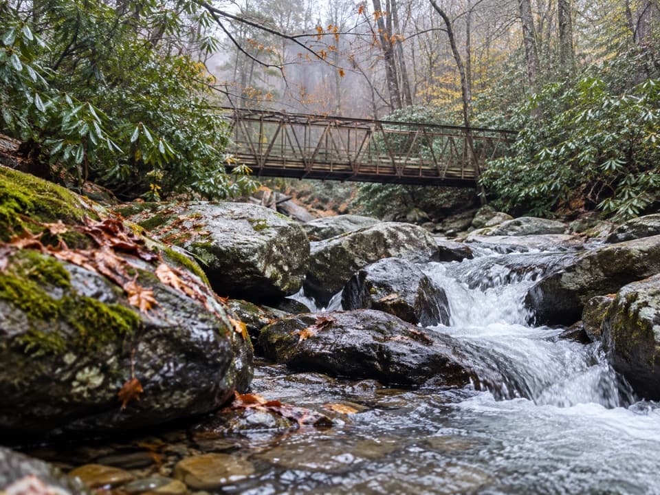
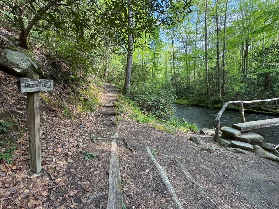
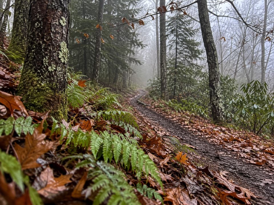
The trail passes the Enloe Creek junction, descends, then climbs again. Around mile 2.5 it meets Bradley Fork and follows a wide old jeep track. The footing gets rocky on the climb to the ridge. Near mile 4.3, a utility shack stands beside the trail; from there, the route continues through spruce forest and climbs to Pecks Corner.

Plants and historySpring brings flame azalea and mountain laurel.

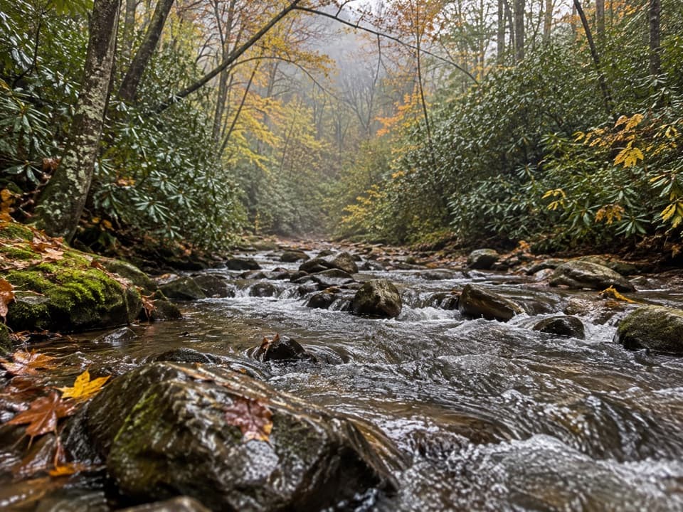
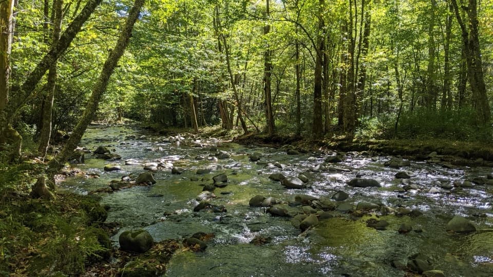
Spring brings flame azalea and mountain laurel. Higher ground supports red spruce and Catawba rhododendron. Cherokee and pioneer families lived in this area before it became part of the national park; the documented trail account gives no specific household or event to look for along the route.

Practical notesHughes Ridge is also an equestrian route. Dogs are prohibited on this trail.

Hughes Ridge is also an equestrian route. Dogs are prohibited on this trail. If you plan to camp at nearby Backcountry Campsite 50 on the approach, reserve the required backcountry permit. The nearest restroom is at Smokemont Campground.

Wildlife

Wildlife in Great Smoky Mountains

All Great Smoky Mountains wildlife maps

Sighting maps show where each species has been reported across Great Smoky Mountains. Wildlife moves, so no sighting is guaranteed.

Keep exploring

Near Hughes Ridge Trail

See it all on the map

Trails that start nearby

Places near the trailhead

Parkwolf’s Great Smoky Mountains ranking

Top-rated trails in Great Smoky Mountains

All 197 trails
  1. 1Mount Le Conte via Alum Cave TrailChallenging · 10 mi
  2. 2Charlies Bunion via Appalachian TrailModerate · 8 mi
  3. 3Alum Cave Trail to Alum Cave BluffsModerate · 4.6 mi
  4. 4Ramsey Cascades TrailChallenging · 8 mi
  5. 5Mount Cammerer TrailChallenging · 11.1 mi
  6. 6Gregory Ridge TrailChallenging · 11.4 mi

Take Parkwolf to Great Smoky Mountains.

The audio tour guide for the drive, plus offline maps, trails, and wildlife heatmaps for when the signal drops.

4.7 from 8,600+ ratings

Download Parkwolf on the App StoreGet Parkwolf on Google Play