Parking
Use Cosby Hiker Parking B beside Cosby Campground, then follow Low Gap Trail to the Lower Mount Cammerer junction.
Great Smoky Mountains National Park, TN · NC
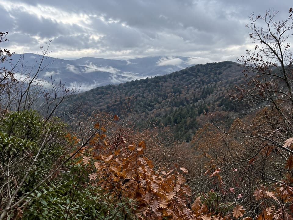
A short, steep spur reaches a north-facing view over Riding Fork.
Overview
Map & elevation
Plan your hike

The highest, rockiest slopes around here are a summer buffet for grizzly bears.
Great Smoky Mountains Tour Guide
Parkwolf is a GPS audio tour guide for Great Smoky Mountains National Park. As you drive, it chimes in with what’s ahead: hidden gems, upcoming stops, history, geology, and wildlife, right through your car’s speakers.
See the Great Smoky Mountains audio tourRecorded for this trailhead
Cosby Picnic Area and Hen Wallow Falls“Up ahead is Cosby Picnic Area, a shady place for lunch beside Cosby Creek. Bring your own picnic; the tables have charcoal grills. The picnic area is seasonal, generally spring through fall.”
Plays as you drive up to this trailhead in the Parkwolf Great Smoky Mountains Tour Guide.
More stories near here in the app
“Fantastic app with many points of information… It’s great to just turn on while you’re driving and it gives you an audio tour of the national Park. We love it!!!!”


Trail guide
Sutton Ridge Overlook is a 3.5-mile out-and-back from Cosby Hiker Parking B, ending at a north-facing view over Riding Fork valley and the ridge beyond. Allow about two hours. It is a shorter overlook walk, not the Mount Cammerer summit or its fire tower.
Some route descriptions give 3.0–3.1 miles, but it is unclear whether they count the walk from the public hiker lot. This route includes about 0.4 mile on Low Gap Trail before reaching the Lower Mount Cammerer junction.
Follow Low Gap Trail from the parking area to its junction with Lower Mount Cammerer Trail, then continue about 1.25 miles to the Sutton Ridge turn. This stretch is mostly wooded and comparatively gentle, with a brief early rise and some shallow dips. It skirts the base of Rocky Face Mountain and crosses the broad Toms Creek area.
Turn onto the roughly 200-yard spur to the overlook. It climbs much more sharply than the approach, so save some energy for the last few minutes. The view faces north over the continuation of Sutton Ridge and into Riding Fork valley. The Mount Cammerer fire tower is farther along the longer trail network; it is not the destination on this walk.
For a photo, include the near ridge with the valley and more distant ridges behind it. That gives the view its depth.
Start at the Cosby Campground hiker parking area and return the same way. Dogs are not allowed on this trail. The short spur is very steep, even though the rest of the walk is a fairly modest outing.
Wildlife
 1,566 sightingsBlack BearMost seen around 7 PMSighting map
 899 sightingsElkMost seen around 7 AMSighting map
 13 sightingsBald EagleMost seen around 9 AMSighting map
 142 sightingsTimber RattlesnakeMost seen around 6 PMSighting map
 26 sightingsBobcatMost seen around 8 PMSighting map
 42 sightingsRiver OtterMost seen around 7 AMSighting map
Sighting maps show where each species has been reported across Great Smoky Mountains. Wildlife moves, so no sighting is guaranteed.
Keep exploring
 ChallengingMount Cammerer Trail11.1 mi · 7 hr · At the trailheadA steep climb to a historic tower above the Smokies.
 ChallengingLow Gap Trail5.4 mi · 5 hr · At the trailheadCreek crossings and a steep climb to the remote Walnut Bottom junction.
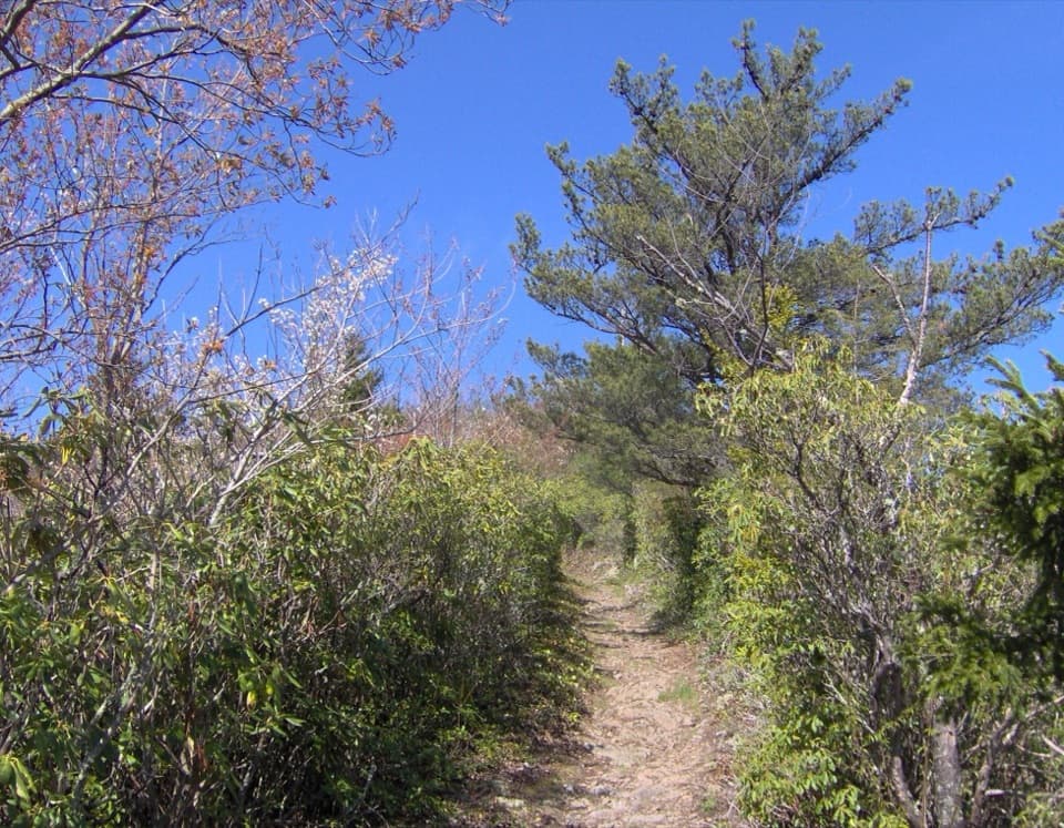 ChallengingLow Gap, Appalachian Trail and Snake Den Ridge Loop Trail13.1 mi · 9 hr · At the trailheadA full-day loop links Low Gap, the AT, and Snake Den Ridge.
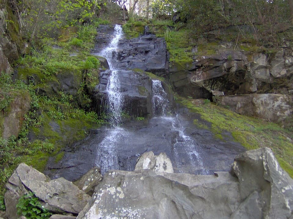 ModerateGabes Mountain Trail to Hen Wallow Falls4.3 mi · 3.5 hr · 0.2 mi awayA rooty 4.3-mile out-and-back ends at a steep 90-foot waterfall.
 EasyCosby Nature Trail1.3 mi · 45 min · 0.2 mi awayA wooded creek loop with log bridges and rocky crossings.ChallengingSnake Den Ridge Trail10.6 mi · 8 hr · 0.2 mi awayA steep 10.6-mile out-and-back to the Appalachian Trail.
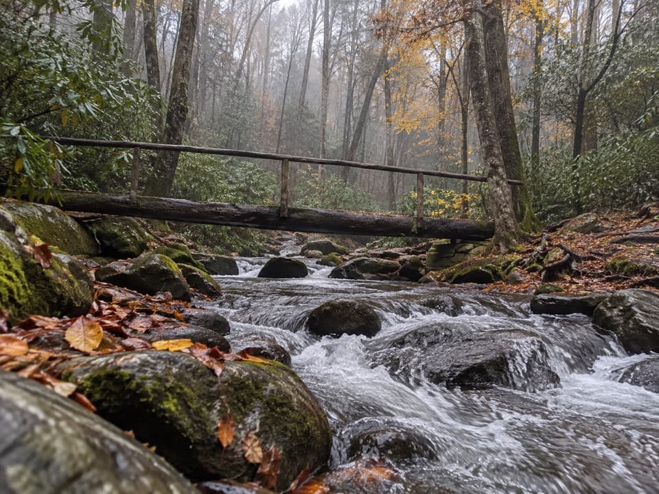 ChallengingLower Mount Cammerer Trail14.8 mi · 8 hr · 0.3 mi awayA long day of creek crossings and ridge climbing to the AT.
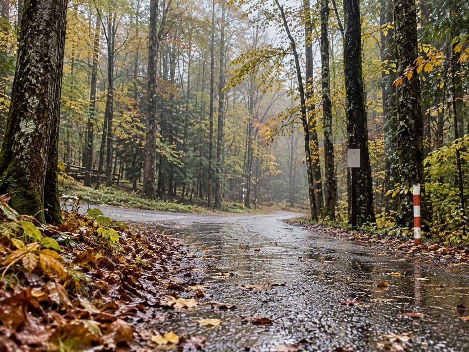 ModerateCosby Horse Trail0.3 mi · 10 min · 0.3 mi awayA short, steep path near Cosby Campground.
 Picnic area · 0.1 mi awayCosby Picnic AreaA shady 35-site picnic stop beside Cosby Creek
 Campground · 0.2 mi awayCosby CampgroundA shady, tent-heavy base with hiking routes nearby.Sight · 1.7 mi awayHen Wallow FallsA 90-foot cascade makes the rooted climb worthwhile.
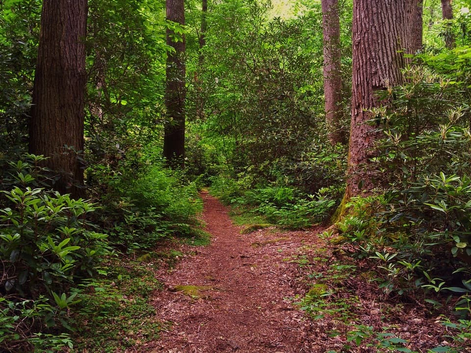 Sight · 4.2 mi awayAlbright GroveA long hike through one of the Smokies’ finest old-growth forests.
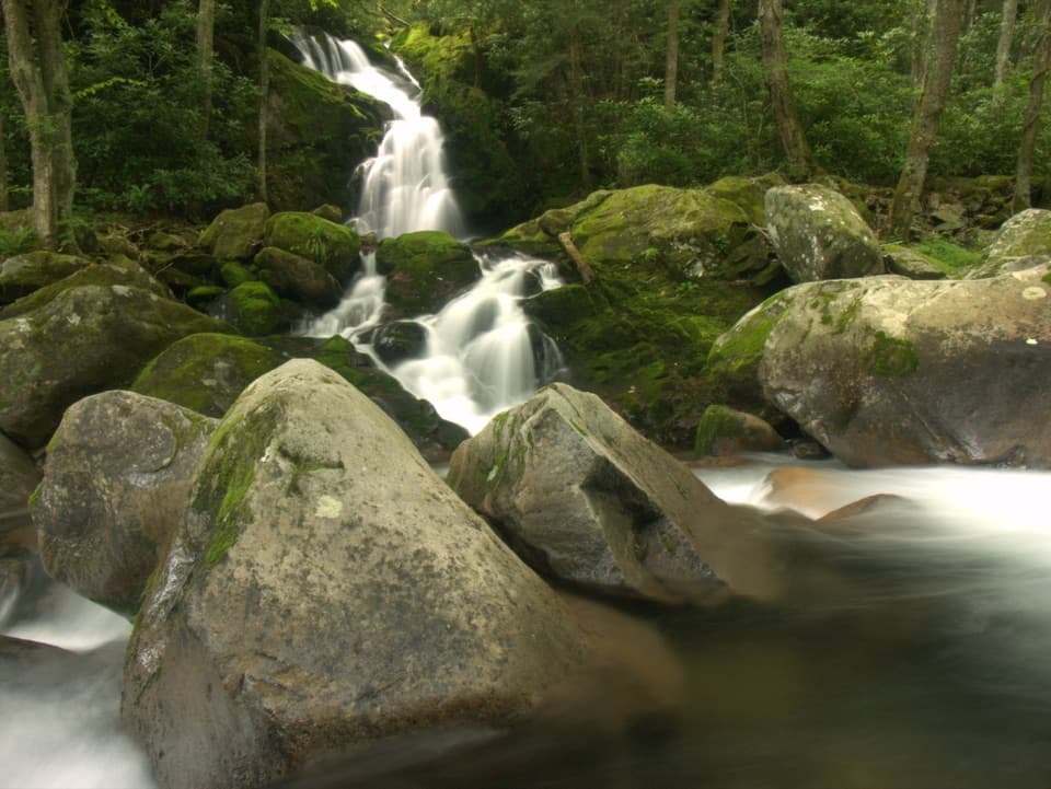 Sight · 4.4 mi awayMouse Creek FallsA 41-foot waterfall with Midnight Hole along the way.
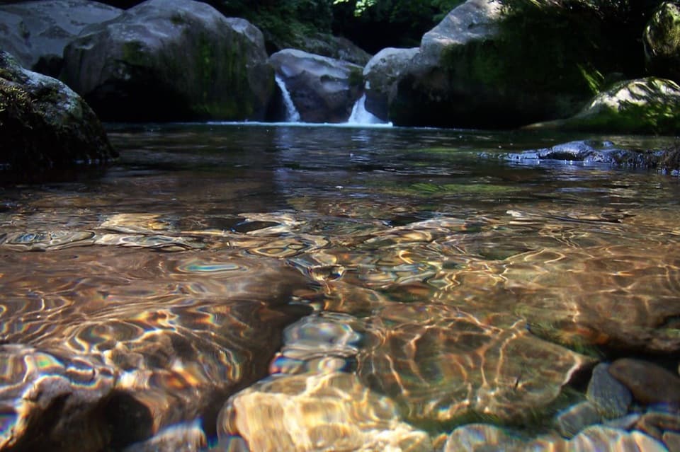 Sight · 4.7 mi awayMidnight HoleA shaded Big Creek pool reached by a steep, rocky scramble.
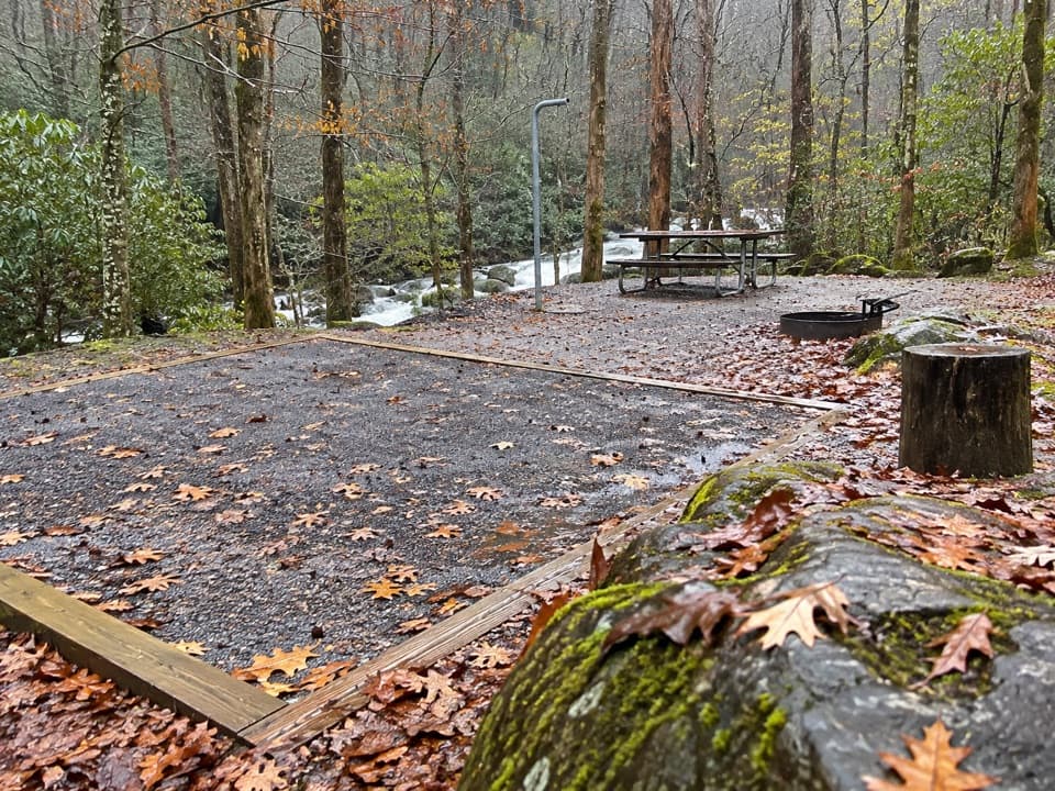 Campground · 5.4 mi awayBig Creek CampgroundTwelve tent sites by the creek, with big hikes close at hand.
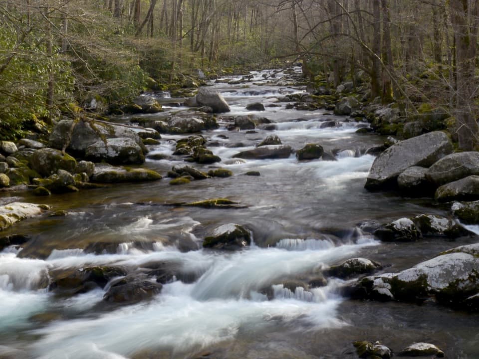 Picnic area · 5.5 mi awayBig Creek Picnic AreaBreak by Big Creek before setting out on a nearby trail.
Parkwolf’s Great Smoky Mountains ranking

The audio tour guide for the drive, plus offline maps, trails, and wildlife heatmaps for when the signal drops.




