Low Gap, Appalachian Trail and Snake Den Ridge Loop Trail in Great Smoky Mountains National Park

Great Smoky Mountains National Park, TN · NC

Low Gap, Appalachian Trail and Snake Den Ridge Loop Trail

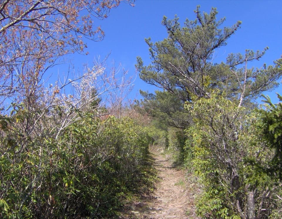
A full-day loop links Low Gap, the AT, and Snake Den Ridge.

Photo: Wikimedia Commons
Length
13.1mi
Time
9hr
Elev. change
3,560ft
Difficulty
Challenging
  • Loop
  • No dogs
  • High point 5,794 ft
  • #95 of 197 in Great Smoky Mountains

Hear the audio tour

Cosby Picnic Area and Hen Wallow Falls

Overview

About Low Gap, Appalachian Trail and Snake Den Ridge Loop Trail

Why go

  • A true circuit combines three ridge-trail segments and avoids retracing the climb.
  • Inadu Creek cascades and a few mountain-view openings break up the forest.

Heads up

  • A nine-hour day with a long climb and substantial elevation gain.
  • Rocky, rooty footing continues through the Snake Den Ridge descent.

Map & elevation

The route

Loading the Great Smoky Mountains map
Full map
Elevation2,234–5,794 ft
TrailheadCosby Campground Hiker Parking Area / Low Gap Trailhead35.75595, -83.20776
Keep this map with you offline in the Parkwolf app

Plan your hike

Before you go

Parking

Use the Cosby Campground Hiker Parking Area before the campground loops and follow the Low Gap Trail signs. A parking tag is required for vehicles parked longer than 15 minutes. Cosby Campground operates seasonally; confirm whether the hiker lot is open when the campground is closed.

Safety

Hard, full-day route with sustained climbing, rocky and rooty tread, and a long steep descent. The first 0.4 mile has several campground junctions and campsite paths, so follow the Low Gap signs carefully. Inadu Creek is crossed on stepping stones.

7 active Great Smoky Mountains alerts

  • ClosureHurricane Helene backcountry trail closures and hazardsHurricane Helene damage has closed backcountry trails and left hazardous crossings; avoid closed routes and heed trail-specific restrictions.Official details
  • CautionBear-related trail, road, shelter, and campsite restrictionsBear activity has closed trails, a shelter, and campsites and restricted pedestrian access on Cherokee Orchard Road; follow the vehicle restrictions and avoid closed areas.Official details
See all 7 alerts
A park ranger sits on a dash-mounted phone, talking, as Parkwolf’s Tour Guide plays “Army Cutworm Moths: A Grizzly Bear Buffet” on Grand Loop Road below Dunraven Pass in Yellowstone
Parkwolf Tour GuideThe highest, rockiest slopes around here are a summer buffet for grizzly bears.

Great Smoky Mountains Tour Guide

Your drive to Low Gap, Appalachian Trail and Snake Den Ridge Loop Trail, narrated.

Parkwolf is a GPS audio tour guide for Great Smoky Mountains National Park. As you drive, it chimes in with what’s ahead: hidden gems, upcoming stops, history, geology, and wildlife, right through your car’s speakers.

See the Great Smoky Mountains audio tour

Recorded for this trailhead

Cosby Picnic Area and Hen Wallow Falls
0:00 / 0:31
“Up ahead is Cosby Picnic Area, a shady place for lunch beside Cosby Creek. Bring your own picnic; the tables have charcoal grills. The picnic area is seasonal, generally spring through fall.”

Plays as you drive up to this trailhead in the Parkwolf Great Smoky Mountains Tour Guide.

More stories near here in the app

  • A Nest That Can Stretch
  • Apples for the Long Haul
  • A Nut in the Bark
  • A Woodpecker's Sap Wells
  • 188 audio storiesacross Great Smoky Mountains’s roads, triggered by GPS as you drive
  • Wildlife heatmapsfor Black Bear, Elk, Bald Eagle, and 13 more
  • Works offlinemaps, 197 trails, 100 places, and audio download before you lose signal
  • CarPlay readysimple controls built for the drive
★★★★★
“Fantastic app with many points of information… It’s great to just turn on while you’re driving and it gives you an audio tour of the national Park. We love it!!!!”
JMJamesApp Store review
Download Parkwolf on the App StoreGet Parkwolf on Google Play

4.7 from 8,600+ ratings

Trail guide

Hiking Low Gap, Appalachian Trail and Snake Den Ridge Loop Trail

What this loop asks of youThe Low Gap, Appalachian Trail, and Snake Den Ridge Loop is a 13.

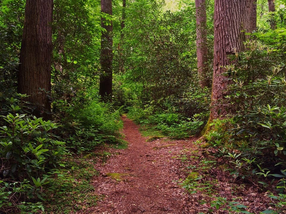
The Low Gap, Appalachian Trail, and Snake Den Ridge Loop is a 13.1-mile circuit from Cosby Campground’s Hiker Parking Area. It climbs Low Gap, follows the Appalachian Trail west between the two junctions, descends Snake Den Ridge, and uses campground roads to close the loop. Allow about nine hours. This is a hard, full-day hike, with roughly 3,900 feet of climbing, long rocky and rooty stretches, and sustained grades. Most of the route is shaded forest; creek crossings and a few brief ridge openings break it up. Choose it for a long, varied mountain circuit, not a quick waterfall walk.

Find the right startBegin in the Cosby Campground Hiker Parking Area and follow Low Gap Trail. The first 0.

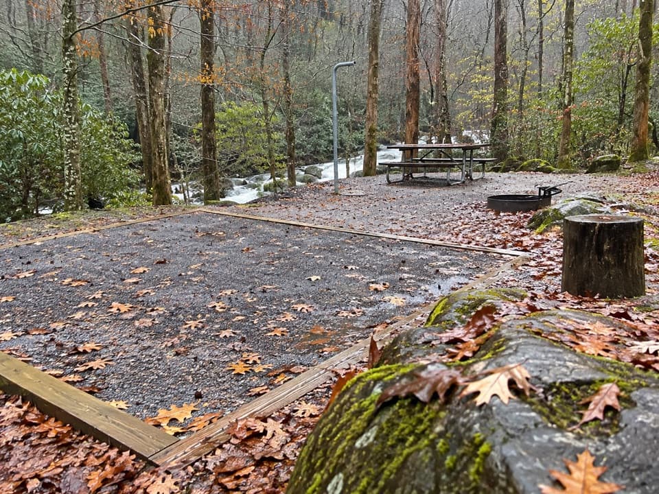
Begin in the Cosby Campground Hiker Parking Area and follow Low Gap Trail. The first 0.4 mile is the trickiest part to navigate: several campsite paths cross the route, and it intersects Cosby Nature Trail twice. Follow the Low Gap and Appalachian Trail signs at each junction rather than taking a campsite spur. The stored loop starts here and returns here, including the campground-road walk after Snake Den Ridge.

Settle into the Low Gap climbAfter Cosby Creek and the Cosby Horse Trail junction, Low Gap climbs steadily toward the…

After Cosby Creek and the Cosby Horse Trail junction, Low Gap climbs steadily toward the Appalachian Trail. The sustained ascent is nearly 1,800 feet over about three miles, mostly on rocky, rooty tread. Dense trees close in after the creek, with little change in scenery until the ridge. Think of this as a continuous climb rather than a series of short ups and downs.

Follow the Appalachian Trail westAt the Low Gap junction, turn right onto the Appalachian Trail and continue west toward Snake…

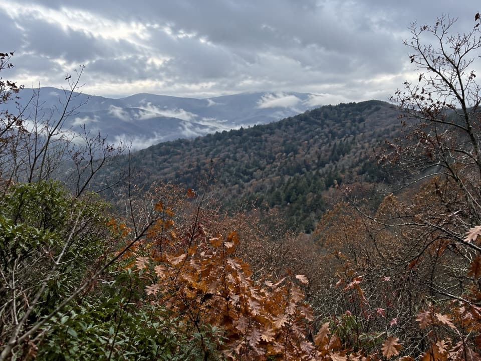
At the Low Gap junction, turn right onto the Appalachian Trail and continue west toward Snake Den Ridge. Stone and log steps, large rocks, and rolling climbs keep the footing uneven. The forest stays close for most of this stretch; the mountain views come in brief openings near Camel Gap and again close to the Snake Den junction. The last mile to that junction climbs sharply over rocks, ending at a large boulder and trail sign.

Make the rocky returnTurn onto Snake Den Ridge toward Cosby. It rises mildly for about 0.

Turn onto Snake Den Ridge toward Cosby. It rises mildly for about 0.7 mile to the Maddron Bald junction; stay on Snake Den Ridge there. The trail then drops steeply over more than two miles of rock rubble and roots. A switchback around mile 10.5 leads to an unmarked spur with a clear mountain view. The spur is optional and is easy to miss if you are only watching for a signed destination. The tread gradually improves closer to Cosby, but remains rough.

Creeks and the way backAt Inadu Creek, stepping stones cross beside two small cascades.

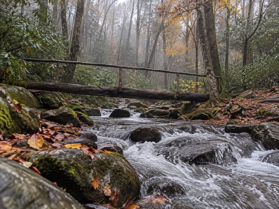
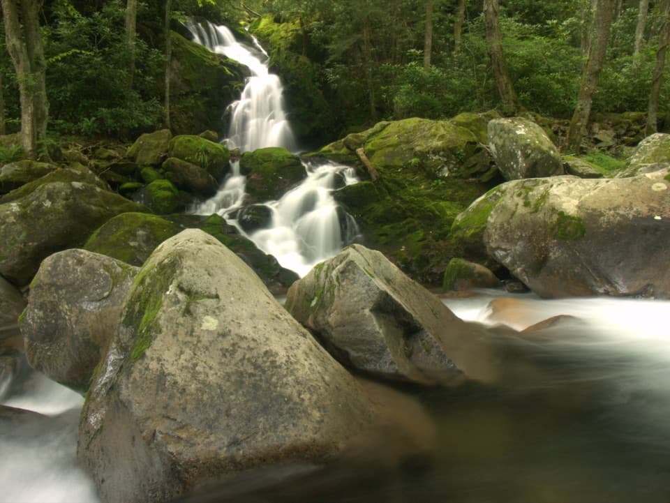
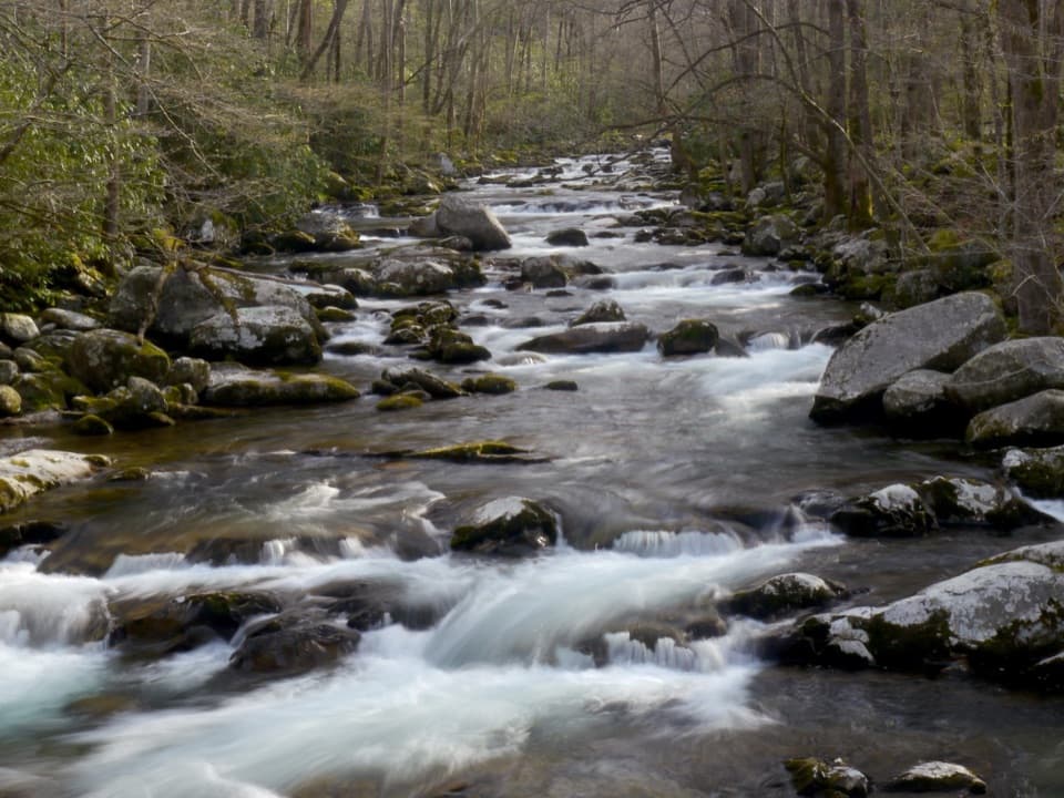
At Inadu Creek, stepping stones cross beside two small cascades. About half a mile later, Rock Creek has a footbridge. Near Cosby, singletrack gives way to gravel; at the Cosby Horse Trail junction, stay left, then follow the campground roads back to the hiker lot. Those roads are part of the 13.1-mile circuit. Cosby Campground has no camp store, and no food stop is listed along the route.

Check access before you goLeashed pets are allowed on only two trails in the park, and this loop is not one of them.

Leashed pets are allowed on only two trails in the park, and this loop is not one of them. A parking tag is required if your vehicle stays in the park longer than 15 minutes. Cosby Campground operates seasonally; park information does not say whether the hiker lot remains open when the campground is closed, so confirm access before planning an out-of-season start.

Wildlife

Wildlife in Great Smoky Mountains

All Great Smoky Mountains wildlife maps

Sighting maps show where each species has been reported across Great Smoky Mountains. Wildlife moves, so no sighting is guaranteed.

Keep exploring

Near Low Gap, Appalachian Trail and Snake Den Ridge Loop Trail

See it all on the map

Trails that start nearby

Places near the trailhead

Parkwolf’s Great Smoky Mountains ranking

Top-rated trails in Great Smoky Mountains

All 197 trails
  1. 1Mount Le Conte via Alum Cave TrailChallenging · 10 mi
  2. 2Charlies Bunion via Appalachian TrailModerate · 8 mi
  3. 3Alum Cave Trail to Alum Cave BluffsModerate · 4.6 mi
  4. 4Ramsey Cascades TrailChallenging · 8 mi
  5. 5Mount Cammerer TrailChallenging · 11.1 mi
  6. 6Gregory Ridge TrailChallenging · 11.4 mi

Take Parkwolf to Great Smoky Mountains.

The audio tour guide for the drive, plus offline maps, trails, and wildlife heatmaps for when the signal drops.

4.7 from 8,600+ ratings

Download Parkwolf on the App StoreGet Parkwolf on Google Play