Parking
Roadside pull-offs on both sides of Laurel Creek Road, about 5.6 miles from Townsend’s Y; the trail starts on the west side. A park parking tag is required for parking longer than 15 minutes.
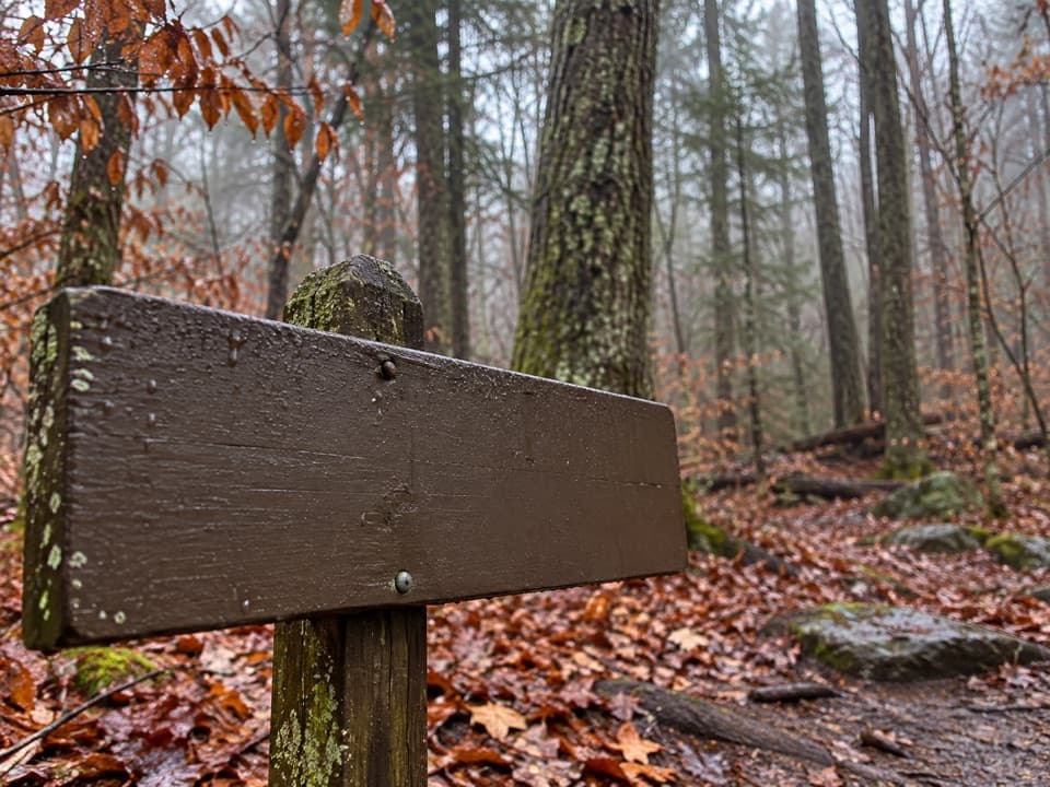
Great Smoky Mountains National Park, TN · NC
A ridge walk through old cove fields and cool, moist hollows.
Overview
Map & elevation
Plan your hike

The highest, rockiest slopes around here are a summer buffet for grizzly bears.
Great Smoky Mountains Tour Guide
Parkwolf is a GPS audio tour guide for Great Smoky Mountains National Park. As you drive, it chimes in with what’s ahead: hidden gems, upcoming stops, history, geology, and wildlife, right through your car’s speakers.
See the Great Smoky Mountains audio tourRecorded for this trailhead
Lead Cove and Finley Cane Trailheads“You're approaching the Lead Cove and Finley Cane trailheads on Laurel Creek Road. For a half-day forest hike, I'd choose the six point nine-mile loop through Finley Cane's rhododendron tunnel and across Bote Mountain.”
Plays as you drive up to this trailhead in the Parkwolf Great Smoky Mountains Tour Guide.
More stories near here in the app
“Fantastic app with many points of information… It’s great to just turn on while you’re driving and it gives you an audio tour of the national Park. We love it!!!!”


Trail guide
Turkeypen Ridge Trail is a 3.6-mile one-way point-to-point walk from Laurel Creek Road to Dorsey Gap, where it meets Schoolhouse Gap Trail. Allow about 2½ hours one way. Retracing the same trail makes 7.2 miles total; you can also follow Schoolhouse Gap Trail toward Laurel Creek Road for a longer loop, but those extra miles are outside the Turkeypen distance. The 8.5-mile White Oak Sinks hike is a longer linked route.
Within 0.25 mile, the trail reaches Crib Gap Trail. Continue straight, passing an old homesite and a branch of Laurel Creek; then climb through former Big Spring Cove fields to a gap. Beyond it, the grade eases as the path follows the ridge, shifting between drier slopes and cooler, moist hollows.
The trail crosses Pinkroot Branch about 1.75 miles from Laurel Creek Road; the last 0.75 mile descends to Dorsey Gap and the Schoolhouse Gap junction. Several stream crossings are unbridged. The larger ones near Crib Gap can be awkward after rain, so take care on wet rocks and avoid waterlogged branches.
The fields and former homesite recall settlement in Big Spring Cove. Flame azalea, galax, trillium, and crested dwarf iris grow just off the trail; cooler hollows support rhododendron and mountain laurel.
Use the roadside pull-offs on Laurel Creek Road, about 5.6 miles from Townsend’s Y; the trail entrance is on the west side, with parking also reported across the road. A park parking tag is required for stays longer than 15 minutes. Dogs are not allowed on this trail.
Wildlife
 1,566 sightingsBlack BearMost seen around 7 PMSighting map
 899 sightingsElkMost seen around 7 AMSighting map
 13 sightingsBald EagleMost seen around 9 AMSighting map
 142 sightingsTimber RattlesnakeMost seen around 6 PMSighting map
 26 sightingsBobcatMost seen around 8 PMSighting map
 42 sightingsRiver OtterMost seen around 7 AMSighting map
Sighting maps show where each species has been reported across Great Smoky Mountains. Wildlife moves, so no sighting is guaranteed.
Keep exploring
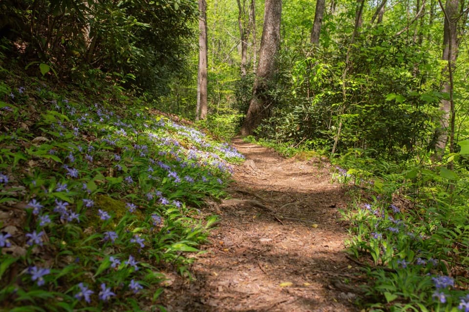 ModerateFinley Cane, Bote Mountain and Lead Cove Loop6.9 mi · 4 hr · At the trailheadA rhododendron tunnel leads to a rocky ridge with valley views.
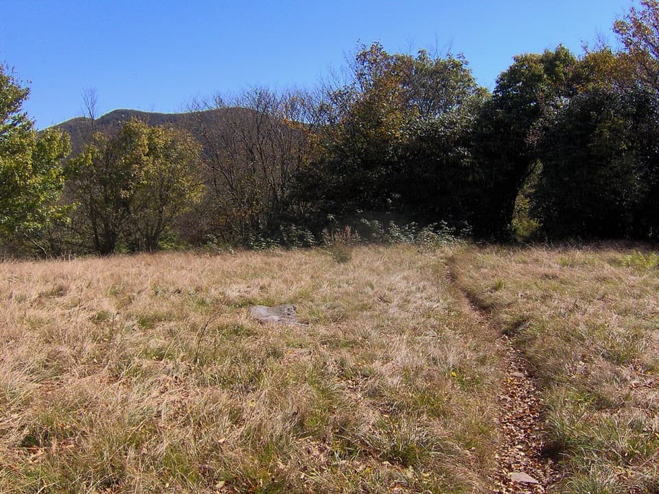 ChallengingSpence Field via Lead Cove Trail9.5 mi · 7 hr · At the trailheadA steep, all-day climb to a historic meadow on the AT
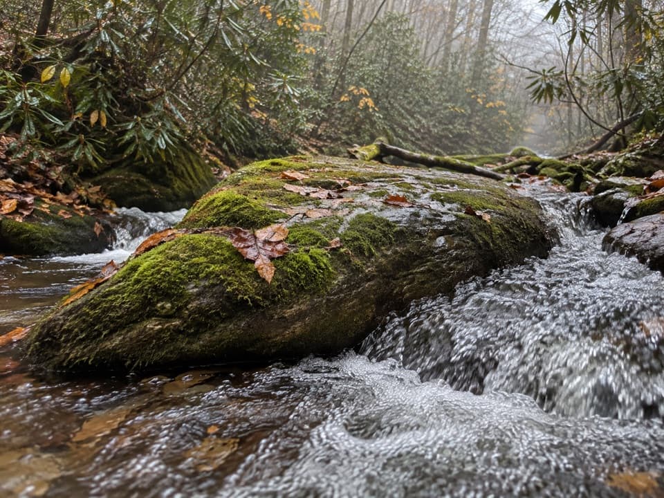 ModerateAnthony Creek Trail7 mi · 4.5 hr · 1.2 mi awayA shaded creek climb to the Bote Mountain junction.
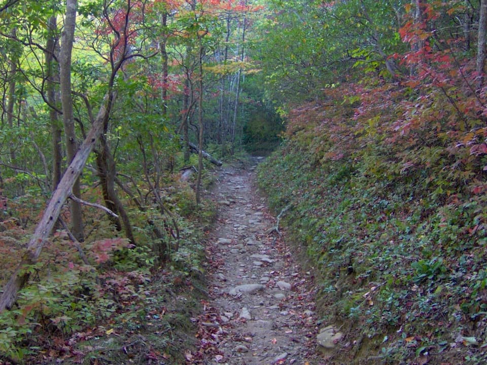 ChallengingRussell Field Trail9.6 mi · 6.5 hr · 1.2 mi awayA steep climb to a small meadow reclaimed by forest.ChallengingRocky Top and Thunderhead Mountain Trail13.9 mi · 9.5 hr · 1.4 mi awayA steep day to Rocky Top and Thunderhead's quiet high point.ChallengingSpence Field and Russell Field Loop13.2 mi · 8 hr · 1.4 mi awayA strenuous loop from Anthony Creek to two high Smokies meadows.
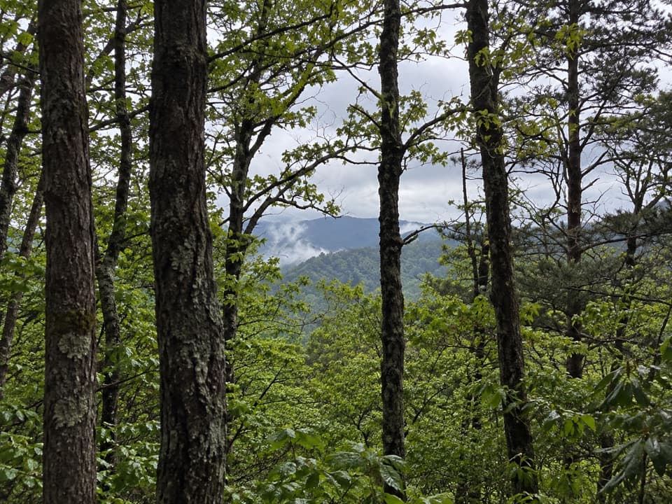 ModerateScott Mountain Trail3.8 mi · 2.5 hr · 1.6 mi awayRhododendron, a spring crossing, and old forest on a ridge connector.
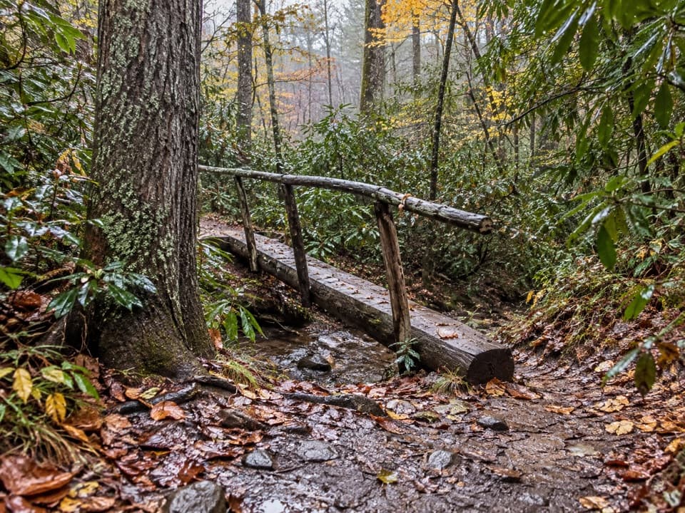 EasyCades Cove Nature Trail0.8 mi · 30 min · 1.7 mi awayA shaded sub-mile loop with a creek crossing.
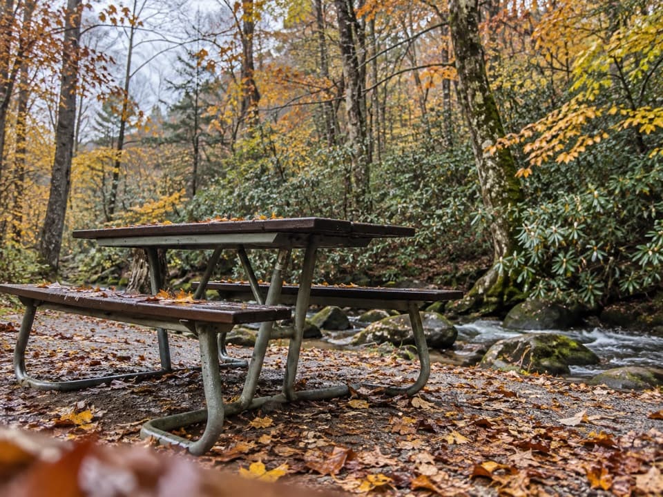 Picnic area · 1.5 mi awayCades Cove Picnic AreaCreekside lunch tables and charcoal grills at the loop entrance.
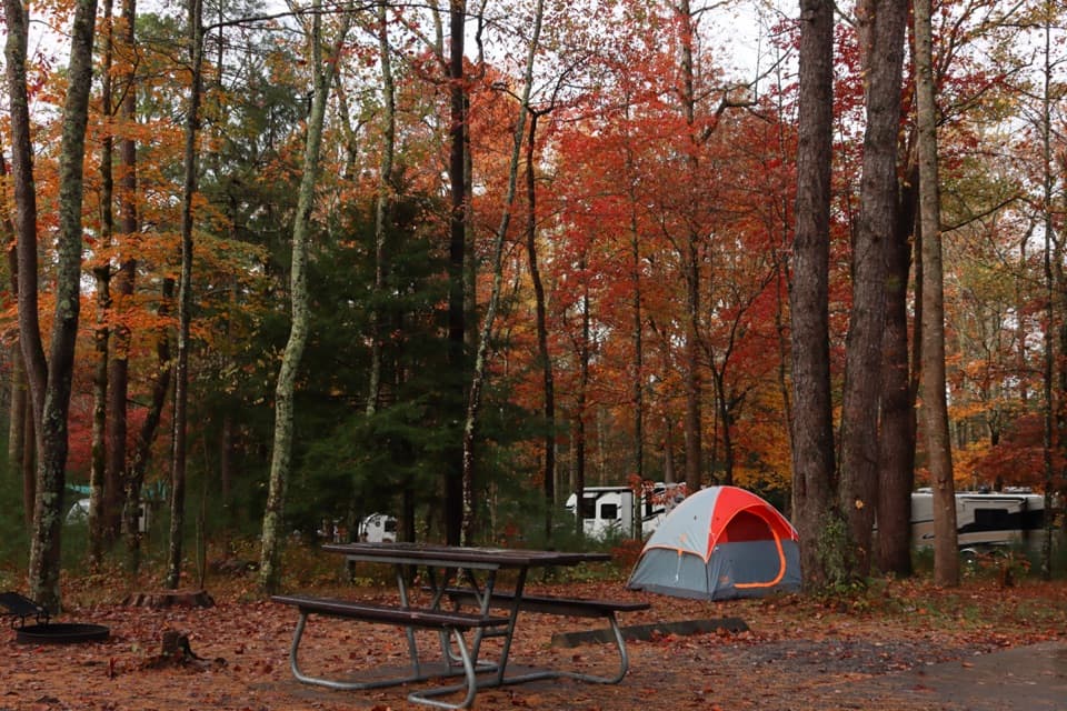 Campground · 1.7 mi awayCades Cove CampgroundA woodland base for the cove's historic loop and wildlife.
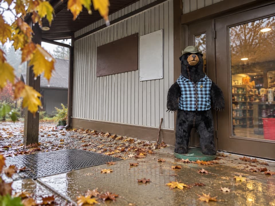 Store · 1.8 mi awayCades Cove Campground StoreBike rentals, camp supplies and soft-serve before the loop.
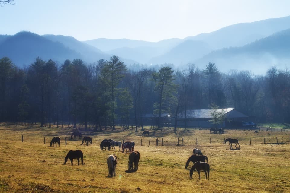 Sight · 1.9 mi awayCades Cove Riding StablesA horse, carriage or hayride gives the cove a different pace.
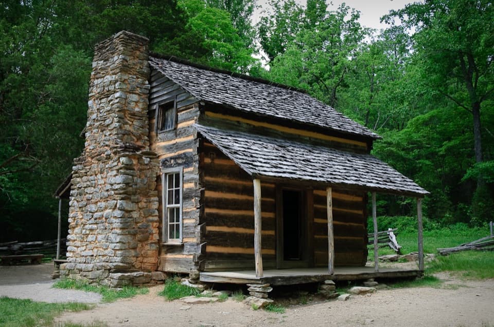 Sight · 2.8 mi awayJohn Oliver CabinA short walk to Cades Cove’s oldest preserved cabin.
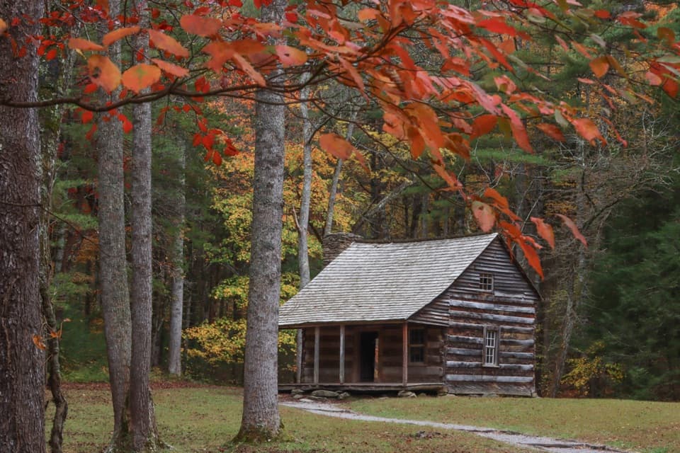 Sight · 3.2 mi awayCarter Shields CabinA last-loop homestead cabin with a stream just behind it.
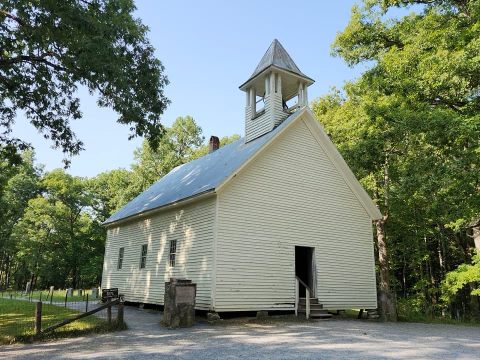 Sight · 3.9 mi awayCades Cove Primitive Baptist ChurchA hand-built 1887 church beside the cove’s oldest cemetery.
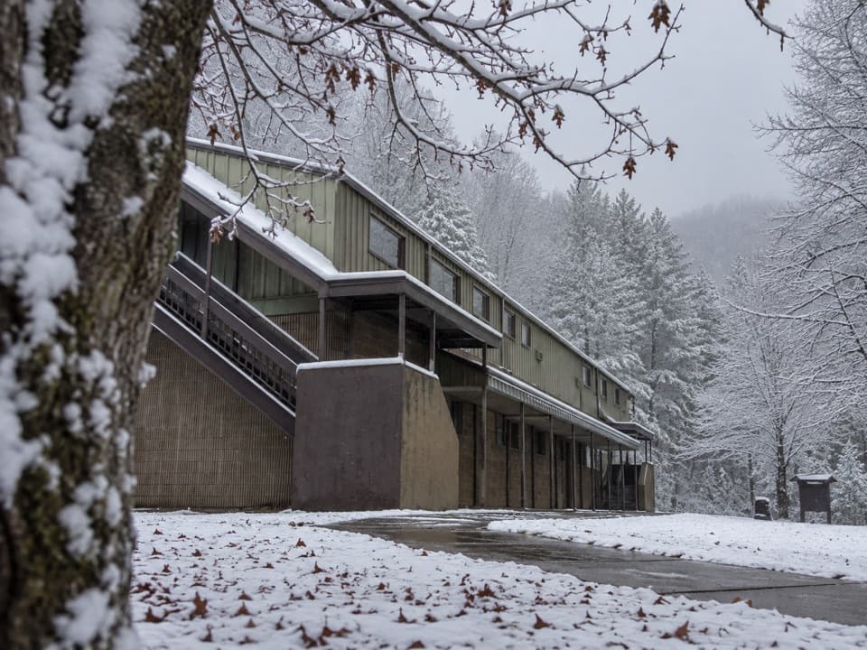 Visitor center · 3.9 mi awayTremont Visitor CenterA practical hike-planning stop with Smokies books and field guides.
Parkwolf’s Great Smoky Mountains ranking

The audio tour guide for the drive, plus offline maps, trails, and wildlife heatmaps for when the signal drops.





