Rocky Top and Thunderhead Mountain Trail in Great Smoky Mountains National Park

#14 of 197 trails in Great Smoky Mountains

Great Smoky Mountains National Park, TN · NC

Rocky Top and Thunderhead Mountain Trail

A steep day to Rocky Top and Thunderhead's quiet high point.

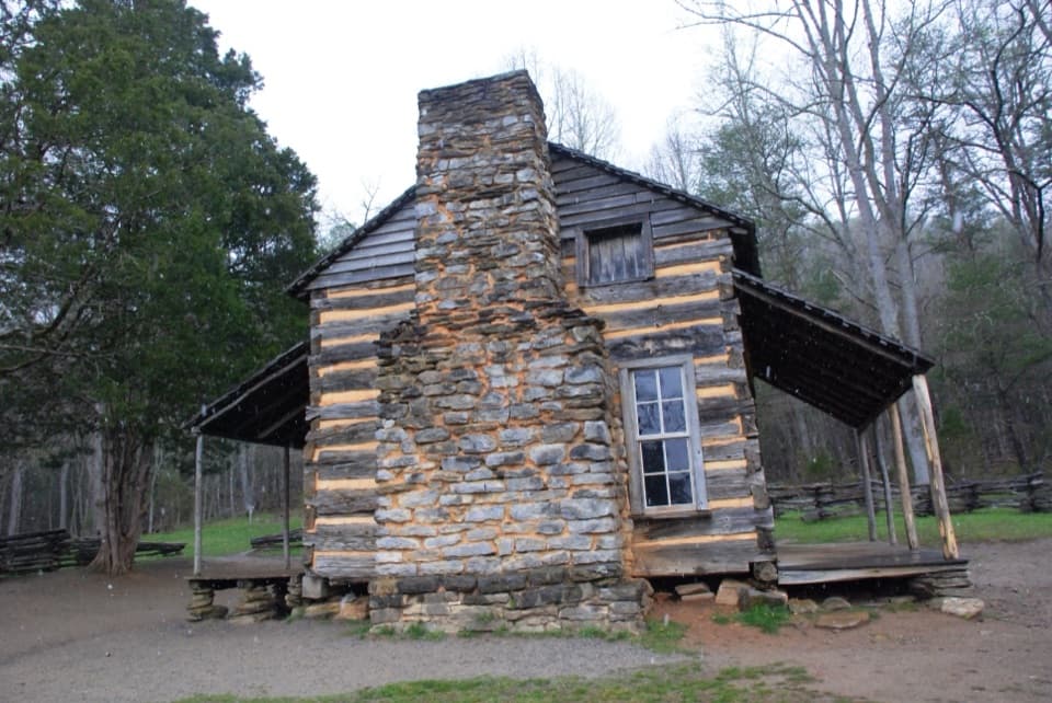
Photo: Wikimedia Commons
Length
13.9mi
Time
9.5hr
Elev. change
3,419ft
Difficulty
Challenging
  • No dogs
  • High point 5,446 ft

Hear the audio tour

Cades Cove Picnic Area

Overview

About Rocky Top and Thunderhead Mountain Trail

Why go

  • Rocky Top's bald opens a broad view across the Smokies.
  • Spence Field breaks up the forest climb with meadow and June laurel.

Heads up

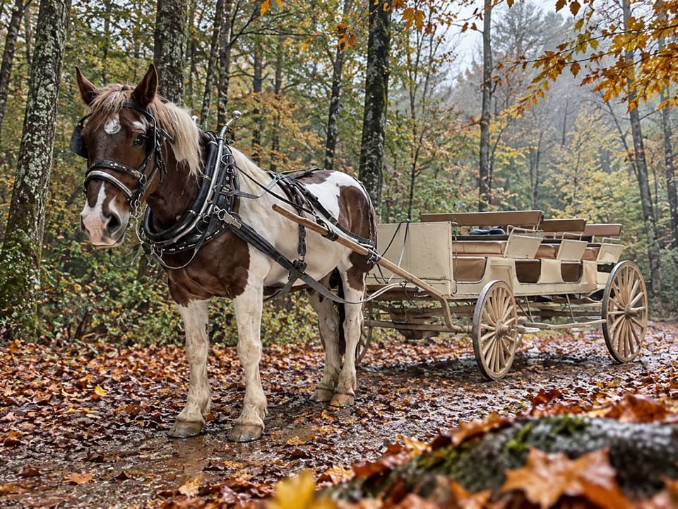
  • A long, strenuous approach with sustained climbing and horse-shared tread.
  • Thunderhead's highest point is brushy and less scenic than Rocky Top.

Map & elevation

The route

Loading the Great Smoky Mountains map
Full map
Elevation2,028–5,446 ft
TrailheadAnthony Creek Trailhead, Cades Cove Picnic Area35.60500, -83.77014
Keep this map with you offline in the Parkwolf app

Plan your hike

Before you go

Parking

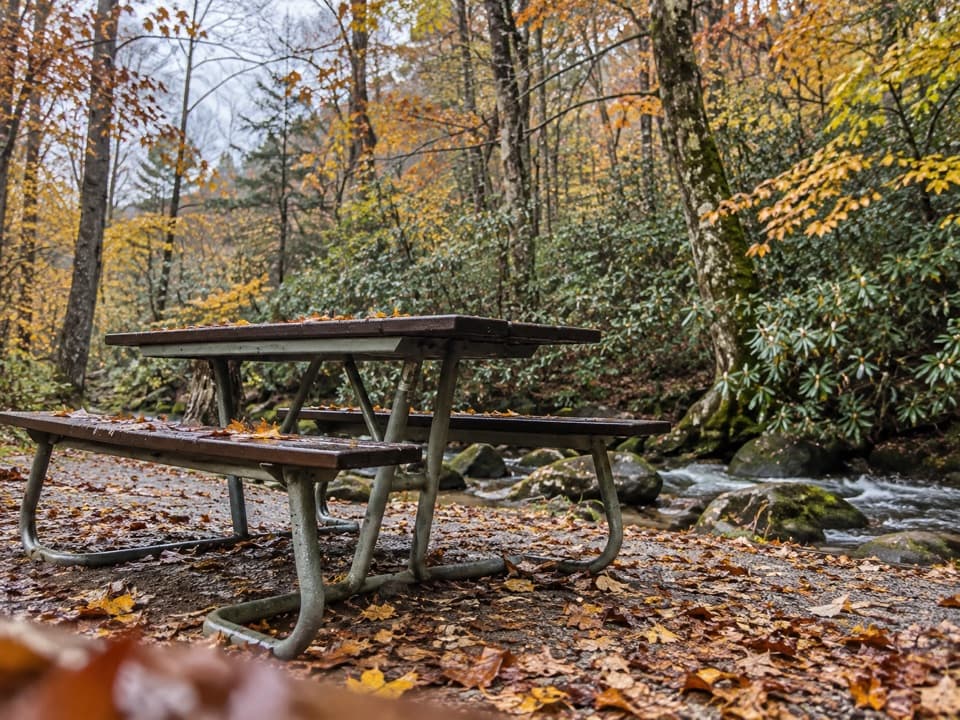
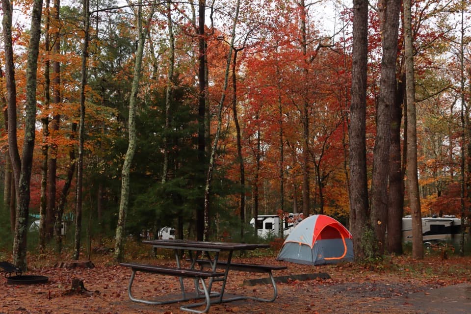
Use the parking area at Cades Cove Picnic Area; Anthony Creek Trailhead is at its far end. The picnic area has restrooms and picnic tables. A parking tag is required for any vehicle parked longer than 15 minutes. No food vendor or potable water source was found at the trailhead.

Safety

This is a strenuous full-day hike with about 3,665 feet of climbing. No potable water source was confirmed along the route, so carry enough for the day. Horses also use the lower Anthony Creek tread; give them room. Pets are prohibited on this trail.

7 active Great Smoky Mountains alerts

  • ClosureHurricane Helene backcountry trail closures and hazardsHurricane Helene damage has closed backcountry trails and left hazardous crossings; avoid closed routes and heed trail-specific restrictions.Official details
  • CautionBear-related trail, road, shelter, and campsite restrictionsBear activity has closed trails, a shelter, and campsites and restricted pedestrian access on Cherokee Orchard Road; follow the vehicle restrictions and avoid closed areas.Official details
See all 7 alerts
A park ranger sits on a dash-mounted phone, talking, as Parkwolf’s Tour Guide plays “Army Cutworm Moths: A Grizzly Bear Buffet” on Grand Loop Road below Dunraven Pass in Yellowstone
Parkwolf Tour GuideThe highest, rockiest slopes around here are a summer buffet for grizzly bears.

Great Smoky Mountains Tour Guide

Your drive to Rocky Top and Thunderhead Mountain Trail, narrated.

Parkwolf is a GPS audio tour guide for Great Smoky Mountains National Park. As you drive, it chimes in with what’s ahead: hidden gems, upcoming stops, history, geology, and wildlife, right through your car’s speakers.

See the Great Smoky Mountains audio tour

Recorded for this trailhead

Cades Cove Picnic Area
0:00 / 0:28
“Ahead is Cades Cove Picnic Area, at the entrance to the one-way loop road. I'd use it for a lunch break under the trees, with tables between Abrams Creek and Green Branch Creek.”

Plays as you drive up to this trailhead in the Parkwolf Great Smoky Mountains Tour Guide.

More stories near here in the app

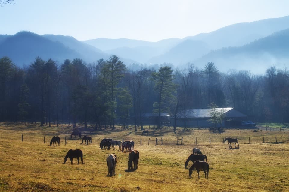
  • Cades Cove Campground Store and Riding Stables
  • Rich Mountain Loop Trailhead
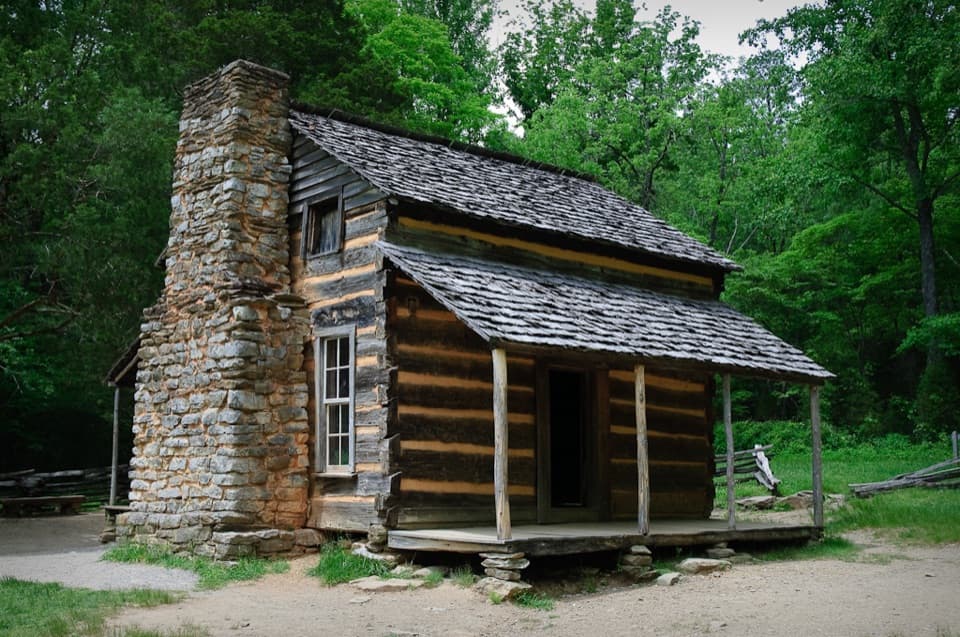
  • John Oliver Cabin
  • Lead Cove and Finley Cane Trailheads
  • 188 audio storiesacross Great Smoky Mountains’s roads, triggered by GPS as you drive
  • Wildlife heatmapsfor Black Bear, Elk, Bald Eagle, and 13 more
  • Works offlinemaps, 197 trails, 100 places, and audio download before you lose signal
  • CarPlay readysimple controls built for the drive
★★★★★
“Fantastic app with many points of information… It’s great to just turn on while you’re driving and it gives you an audio tour of the national Park. We love it!!!!”
JMJamesApp Store review
Download Parkwolf on the App StoreGet Parkwolf on Google Play

4.7 from 8,600+ ratings

Trail guide

Hiking Rocky Top and Thunderhead Mountain Trail

Make this an all-day hikeRocky Top and Thunderhead Mountain is a strenuous out-and-back from Anthony Creek Trailhead at…

Rocky Top and Thunderhead Mountain is a strenuous out-and-back from Anthony Creek Trailhead at the far end of Cades Cove Picnic Area. The full route is 13.9 miles round trip with about 3,665 feet of climbing; plan for roughly nine to ten hours with breaks. You follow Anthony Creek and Bote Mountain to the Appalachian Trail at Spence Field, then continue to the open Rocky Top bald and onward to Thunderhead Mountain's marked 5,527-foot high point. Rocky Top is the best view stop. Turning there saves about 1.2 miles of total walking, but the distance here includes the higher summit.

Follow Anthony CreekThe first 3.5 miles stay mostly in the woods beside Abrams Creek. At about 0.

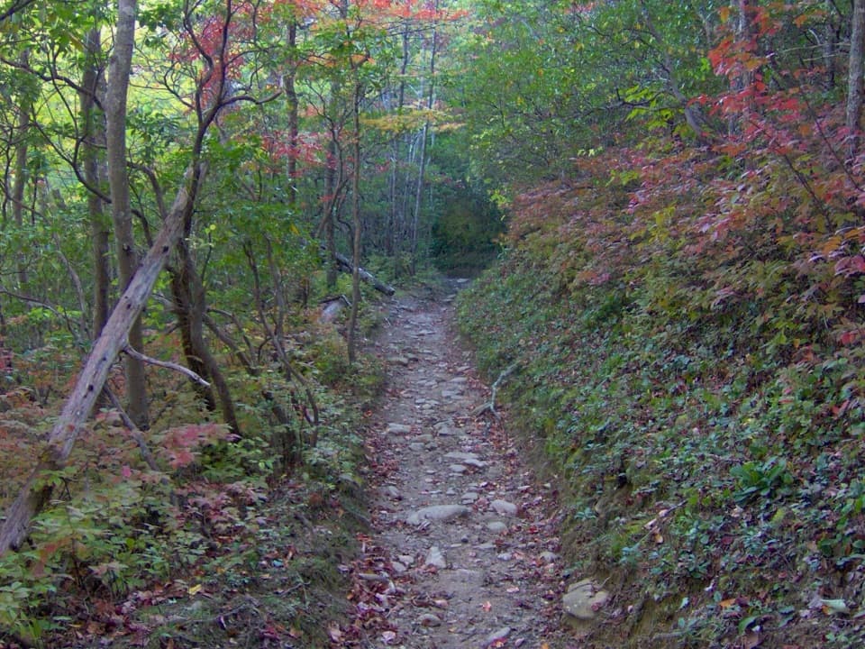
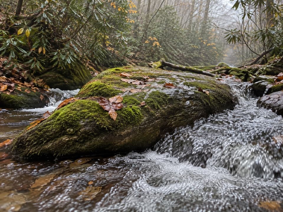
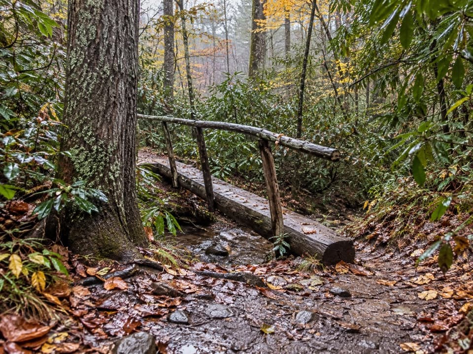
The first 3.5 miles stay mostly in the woods beside Abrams Creek. At about 0.3 mile, Crib Gap Trail branches away; at roughly 1.7 miles, keep straight as Russell Field Trail leaves to the right. The Anthony Creek tread is also used by horses, so expect a natural, sometimes rough surface and give horses room when you meet them. Rhododendron can bloom along the lower creek in mid-June. At about 3.5 miles, turn right onto Bote Mountain Trail.

Climb Bote Mountain to Spence FieldBote Mountain continues uphill beneath a long rhododendron tunnel.

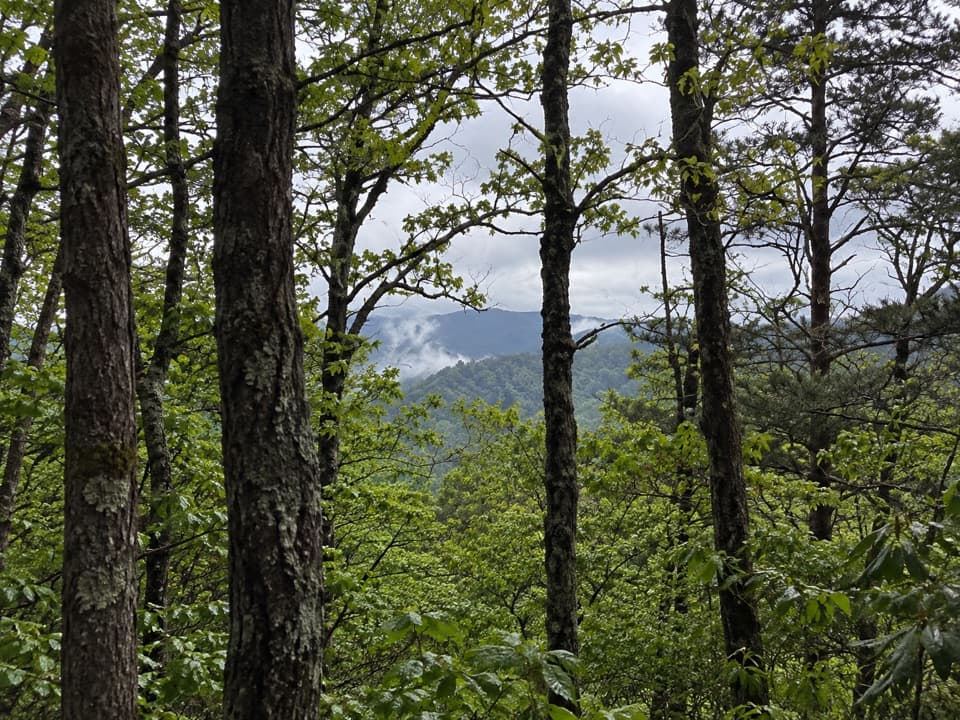
Bote Mountain continues uphill beneath a long rhododendron tunnel. Parts of the tread sit well below the surrounding ground from erosion and past use, making this a long climb rather than a quick connector. At about 5.1 miles from the start, reach the Appalachian Trail at Spence Field and turn left, east, toward Rocky Top. The right-hand direction crosses other grassy meadows but leaves this route.

A field shaped by grazingSpence Field opens the ridge into grassy clearings after several miles of forest.

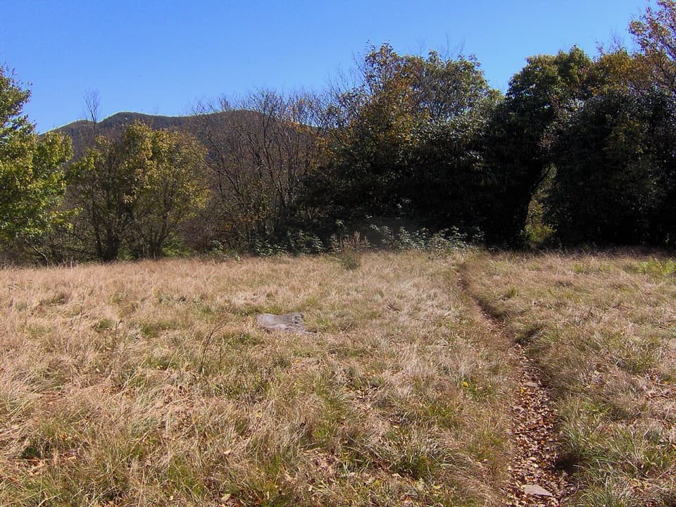
Spence Field opens the ridge into grassy clearings after several miles of forest. The field is named for James Spence, who built a cabin here in 1830; sheep and cattle grazed these high meadows before the park existed. June is the strongest time for mountain laurel on the slopes. From the eastern end of the field, the three knobs of Thunderhead line up beyond the meadow; include a strip of trail or flowers in the foreground to show how the route leads toward them.

Rocky Top has the big viewAbout 1.

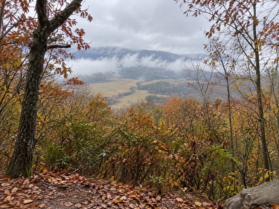
About 1.2 miles beyond the Bote Mountain junction, the Appalachian Trail climbs more than 550 feet to Rocky Top, a small open bald on Thunderhead's western side. This is the clearest payoff of the day, with a broad view across the North Carolina Smokies. On exceptionally clear days, Fontana Lake, Cades Cove, Townsend, and Maryville are visible. The opening is small, so take time to look around rather than stopping at the first bare patch.

Continue to Thunderhead's high pointFrom Rocky Top, stay east on the Appalachian Trail. A rocky middle knob comes about 0.

From Rocky Top, stay east on the Appalachian Trail. A rocky middle knob comes about 0.3 mile later; another 0.3 mile brings you to the marked 5,527-foot high point. The summit sign and a small rock stack sit among tall shrubs, so the top is a worthwhile endpoint if reaching the highest summit matters to you, but it is brushier and less scenic than Rocky Top. The mapped route continues to this point and returns by the same trail.

Start preparedThe picnic area has restrooms and picnic tables, but no food vendor or potable water source was…

The picnic area has restrooms and picnic tables, but no food vendor or potable water source was confirmed for the trailhead or route. Carry enough water for the full day. A parking tag is required for vehicles parked longer than 15 minutes. Pets may be in the picnic area but are prohibited on this trail. The length, climbing, and shared horse trail make this a poor choice for a short outing or a late start.

Wildlife

Wildlife in Great Smoky Mountains

All Great Smoky Mountains wildlife maps

Sighting maps show where each species has been reported across Great Smoky Mountains. Wildlife moves, so no sighting is guaranteed.

Keep exploring

Near Rocky Top and Thunderhead Mountain Trail

See it all on the map

Trails that start nearby

Places near the trailhead

Parkwolf’s Great Smoky Mountains ranking

Top-rated trails in Great Smoky Mountains

All 197 trails
  1. 1Mount Le Conte via Alum Cave TrailChallenging · 10 mi
  2. 2Charlies Bunion via Appalachian TrailModerate · 8 mi
  3. 3Alum Cave Trail to Alum Cave BluffsModerate · 4.6 mi
  4. 4Ramsey Cascades TrailChallenging · 8 mi
  5. 5Mount Cammerer TrailChallenging · 11.1 mi
  6. 6Gregory Ridge TrailChallenging · 11.4 mi

Take Parkwolf to Great Smoky Mountains.

The audio tour guide for the drive, plus offline maps, trails, and wildlife heatmaps for when the signal drops.

4.7 from 8,600+ ratings

Download Parkwolf on the App StoreGet Parkwolf on Google Play