Parking
Park at Cades Cove Picnic Area. The Anthony Creek trailhead is at the far end of the picnic area.
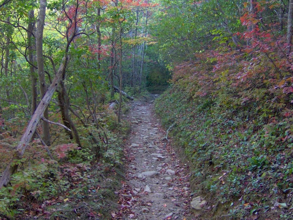
Great Smoky Mountains National Park, TN · NC
A steep climb to a small meadow reclaimed by forest.
Overview
Russell Field is a hard, roughly 9.6-mile out-and-back from the Anthony Creek trailhead at Cades Cove Picnic Area to Russell Field Shelter on the Appalachian Trail. The route follows Anthony Creek first, then climbs the named Russell Field Trail to a high ridge. Allow six to seven hours and about 2,250 feet of climbing. Most of the walk is under trees, with a steep, rocky upper climb. This is a full day on foot, not a quick walk to an overlook. The shelter is the turnaround; the longer Russell and Spence Field loop continues east and is a different hike.
 Parkwolf’s verdictIs this the hike for you?
Map & elevation
Plan your hike

The highest, rockiest slopes around here are a summer buffet for grizzly bears.
Great Smoky Mountains Tour Guide
Parkwolf is a GPS audio tour guide for Great Smoky Mountains National Park. As you drive, it chimes in with what’s ahead: hidden gems, upcoming stops, history, geology, and wildlife, right through your car’s speakers.
See the Great Smoky Mountains audio tourRecorded for this trailhead
Cades Cove Picnic Area“Ahead is Cades Cove Picnic Area, at the entrance to the one-way loop road. I'd use it for a lunch break under the trees, with tables between Abrams Creek and Green Branch Creek.”
Plays as you drive up to this trailhead in the Parkwolf Great Smoky Mountains Tour Guide.
More stories near here in the app
“Fantastic app with many points of information… It’s great to just turn on while you’re driving and it gives you an audio tour of the national Park. We love it!!!!”


Trail guide
Start from the far end of the picnic area on Anthony Creek Trail. It follows the creek through forest, passes the Crib Gap junction about three-tenths of a mile in, then goes by Anthony Creek Horse Camp. Turn right at the Russell Field Trail junction. The named trail climbs steeply beside Left Prong, with a short footlog and rocky creek crossings. Campsite 10 on Leadbetter Ridge is an early landmark on the climb.
Past the campsite, the grade steepens through mixed hardwoods and hemlocks. A switchback brings you into rhododendron, and gaps in the trees open a view toward Rich Mountain across Cades Cove. The trail is shared with horses, and the upper section gets rockier underfoot.
Near the end, short side paths lead to a small meadow, the remnant of a much larger clearing. Cades Cove residents cleared Russell Field for sheep and cattle; forest has reclaimed most of it, so this is a historic grazing field rather than a natural grassy bald. The name may refer to Russell Gregory, a Cades Cove settler killed in 1863, though that connection is uncertain. In late spring and early summer, mountain laurel and rhododendron may bloom around the ridge.
Russell Field Shelter sits beside the Appalachian Trail junction and marks the end of this hike. Frame the meadow with the surrounding treeline if you stop for a photo; it shows how much of the old clearing has grown back. Turn around at the shelter unless you have planned the longer loop and its return route.
Park at Cades Cove Picnic Area and walk to the Anthony Creek trailhead at its far end. No exact parking capacity or overflow pattern was established. A 2016 trail account reported a spring near the upper end, but its current reliability was not verified. Bring enough water for the full hike and treat any water you collect. Dogs are not allowed on this trail; trained service animals are permitted where visitors may go. A day hike does not use the shelter reservation system, but an overnight stay requires a backcountry campsite reservation.
Wildlife
 1,566 sightingsBlack BearMost seen around 7 PMSighting map
 899 sightingsElkMost seen around 7 AMSighting map
 13 sightingsBald EagleMost seen around 9 AMSighting map
 142 sightingsTimber RattlesnakeMost seen around 6 PMSighting map
 26 sightingsBobcatMost seen around 8 PMSighting map
 42 sightingsRiver OtterMost seen around 7 AMSighting map
Sighting maps show where each species has been reported across Great Smoky Mountains. Wildlife moves, so no sighting is guaranteed.
Keep exploring
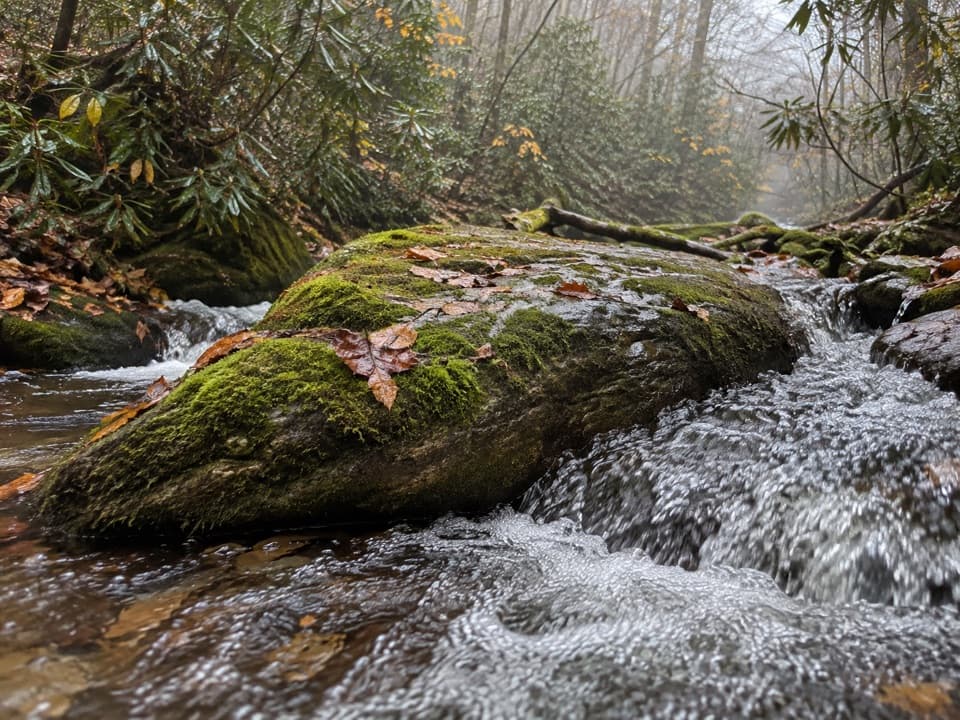 ModerateAnthony Creek Trail7 mi · 4.5 hr · At the trailheadA shaded creek climb to the Bote Mountain junction.
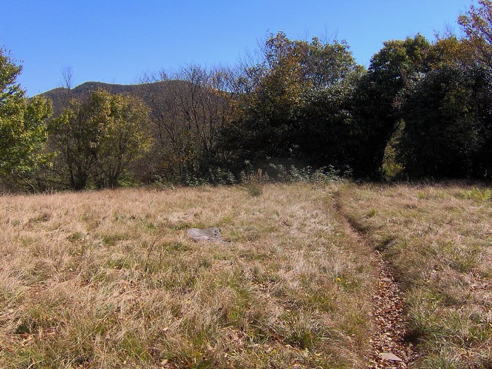 ChallengingRocky Top and Thunderhead Mountain Trail13.9 mi · 9.5 hr · 0.3 mi awayA steep day to Rocky Top and Thunderhead's quiet high point.ChallengingSpence Field and Russell Field Loop13.2 mi · 8 hr · 0.3 mi awayA strenuous loop from Anthony Creek to two high Smokies meadows.
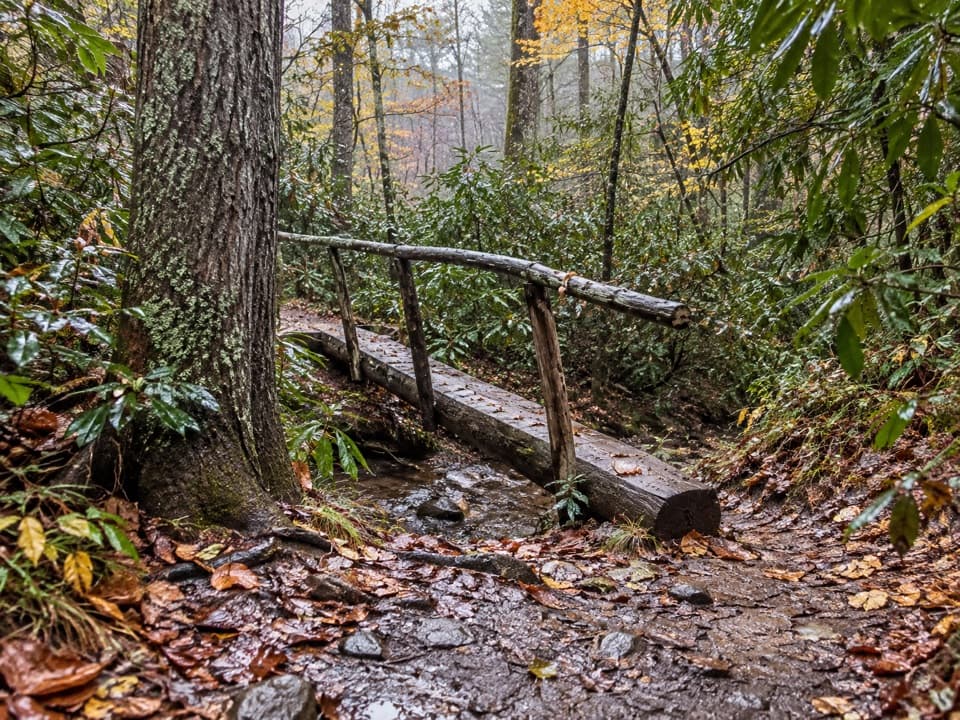 EasyCades Cove Nature Trail0.8 mi · 30 min · 0.5 mi awayA shaded sub-mile loop with a creek crossing.
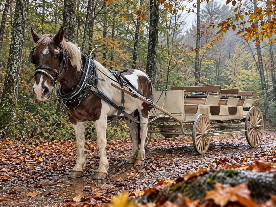 EasyCades Cove Horse Trail2.3 mi · 1.5 hr · 0.7 mi awayA wooded point-to-point trail shared with horses.
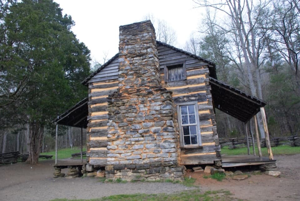 ModerateRich Mountain Loop Trail8.5 mi · 5 hr · 0.8 mi awayAn 8.5-mile loop with a cove view and a waterfall finish
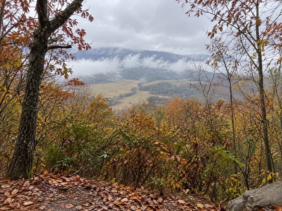 ChallengingCrooked Arm Ridge Trail4.3 mi · 3.5 hr · 1.1 mi awaySteep forest gives way to a late view into Cades Cove
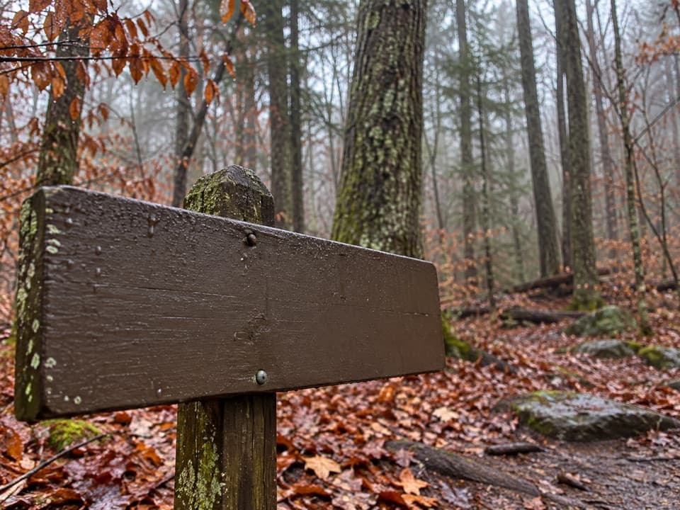 ModerateTurkeypen Ridge Trail3.6 mi · 2.5 hr · 1.2 mi awayA ridge walk through old cove fields and cool, moist hollows.
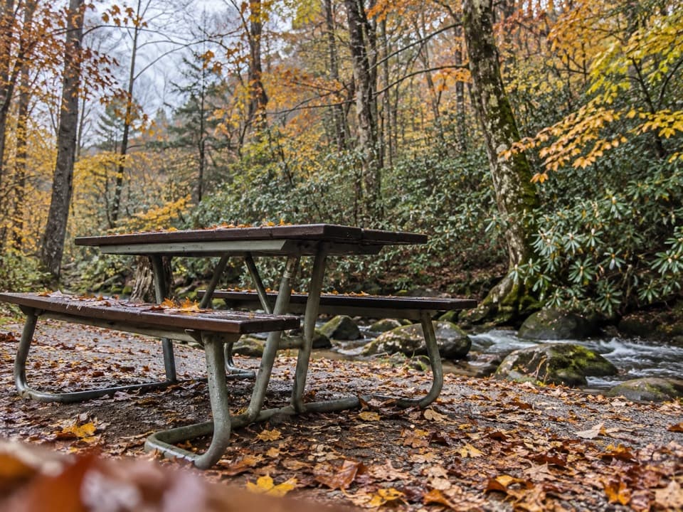 Picnic area · 0.4 mi awayCades Cove Picnic AreaCreekside lunch tables and charcoal grills at the loop entrance.
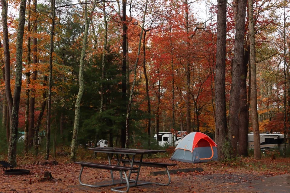 Campground · 0.5 mi awayCades Cove CampgroundA woodland base for the cove's historic loop and wildlife.
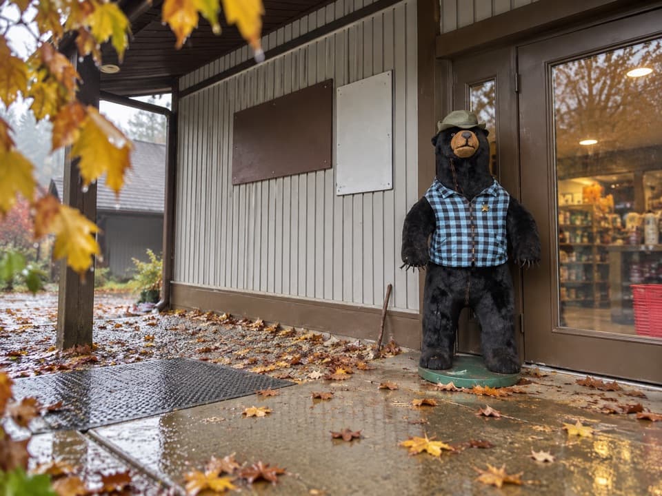 Store · 0.6 mi awayCades Cove Campground StoreBike rentals, camp supplies and soft-serve before the loop.
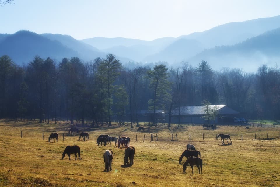 Sight · 0.7 mi awayCades Cove Riding StablesA horse, carriage or hayride gives the cove a different pace.
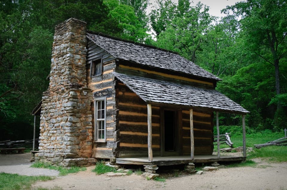 Sight · 1.7 mi awayJohn Oliver CabinA short walk to Cades Cove’s oldest preserved cabin.
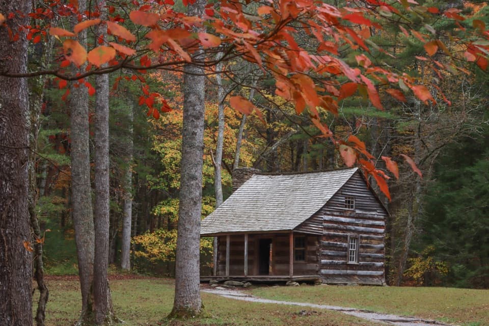 Sight · 2 mi awayCarter Shields CabinA last-loop homestead cabin with a stream just behind it.
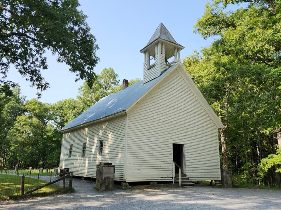 Sight · 2.7 mi awayCades Cove Primitive Baptist ChurchA hand-built 1887 church beside the cove’s oldest cemetery.
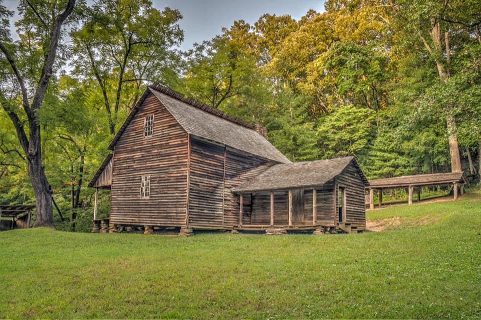 Sight · 2.8 mi awayTipton PlaceA cabin, a clever barn and a farmstead’s working details.
Parkwolf’s Great Smoky Mountains ranking
The audio tour guide for the drive, plus offline maps, trails, and wildlife heatmaps for when the signal drops.





