Spence Field via Lead Cove Trail in Great Smoky Mountains National Park

Great Smoky Mountains National Park, TN · NC

Spence Field via Lead Cove Trail

A steep, all-day climb to a historic meadow on the AT

Photo: Wikimedia Commons
Length
9.5mi
Time
7hr
Elev. change
3,058ft
Difficulty
Challenging
  • No dogs
  • High point 4,944 ft
  • #86 of 197 in Great Smoky Mountains

Hear the audio tour

Lead Cove and Finley Cane Trailheads

Overview

About Spence Field via Lead Cove Trail

Why go

  • Grassy Spence Field meadow at the end of a long forest climb
  • Creekside woods, homestead remains, and a rhododendron tunnel

Heads up

  • About 3,100 feet of climbing on rough, sometimes eroded tread
  • A full-day route with no verified water or food stop

Map & elevation

The route

Loading the Great Smoky Mountains map
Full map
Elevation1,886–4,944 ft
TrailheadLead Cove Trailhead35.60682, -83.74489
Keep this map with you offline in the Parkwolf app

Plan your hike

Before you go

Parking

Lead Cove Trailhead is a roadside pull-off on Laurel Creek Road, about 5.6 miles west of the Townsend Y. The park describes two paved pull-offs for this trail area. A parking tag is required for stays over 15 minutes. The nearest restroom is at Cades Cove Picnic Area, a separate stop.

Safety

Expect sustained steep climbing, rocky and sometimes eroded tread, and a couple of rock-hop crossings near Sugar Cove Prong. Carry enough water and food for the full day. Pets are not allowed on this trail; a parking tag is required for stays over 15 minutes.

7 active Great Smoky Mountains alerts

  • ClosureHurricane Helene backcountry trail closures and hazardsHurricane Helene damage has closed backcountry trails and left hazardous crossings; avoid closed routes and heed trail-specific restrictions.Official details
  • CautionBear-related trail, road, shelter, and campsite restrictionsBear activity has closed trails, a shelter, and campsites and restricted pedestrian access on Cherokee Orchard Road; follow the vehicle restrictions and avoid closed areas.Official details
See all 7 alerts
A park ranger sits on a dash-mounted phone, talking, as Parkwolf’s Tour Guide plays “Army Cutworm Moths: A Grizzly Bear Buffet” on Grand Loop Road below Dunraven Pass in Yellowstone
Parkwolf Tour GuideThe highest, rockiest slopes around here are a summer buffet for grizzly bears.

Great Smoky Mountains Tour Guide

Your drive to Spence Field via Lead Cove Trail, narrated.

Parkwolf is a GPS audio tour guide for Great Smoky Mountains National Park. As you drive, it chimes in with what’s ahead: hidden gems, upcoming stops, history, geology, and wildlife, right through your car’s speakers.

See the Great Smoky Mountains audio tour

Recorded for this trailhead

Lead Cove and Finley Cane Trailheads
0:00 / 0:29
“You're approaching the Lead Cove and Finley Cane trailheads on Laurel Creek Road. For a half-day forest hike, I'd choose the six point nine-mile loop through Finley Cane's rhododendron tunnel and across Bote Mountain.”

Plays as you drive up to this trailhead in the Parkwolf Great Smoky Mountains Tour Guide.

More stories near here in the app

  • A Mayfly's Longer Life
  • Cades Cove Picnic Area
  • Schoolhouse Gap Trailhead
  • Cades Cove Campground Store and Riding Stables
  • 188 audio storiesacross Great Smoky Mountains’s roads, triggered by GPS as you drive
  • Wildlife heatmapsfor Black Bear, Elk, Bald Eagle, and 13 more
  • Works offlinemaps, 197 trails, 100 places, and audio download before you lose signal
  • CarPlay readysimple controls built for the drive
★★★★★
“Fantastic app with many points of information… It’s great to just turn on while you’re driving and it gives you an audio tour of the national Park. We love it!!!!”
JMJamesApp Store review
Download Parkwolf on the App StoreGet Parkwolf on Google Play

4.7 from 8,600+ ratings

Trail guide

Hiking Spence Field via Lead Cove Trail

What you’re signing up forSpence Field via Lead Cove is a 9.

Spence Field via Lead Cove is a 9.5-mile out-and-back from a roadside trailhead on Laurel Creek Road to a grassy opening on the Appalachian Trail. The route follows Lead Cove Trail, climbs Bote Mountain, then takes a short stretch of the AT to the field. Allow 6.5 to 7 hours and expect about 3,100 feet of climbing. It is a full-day hike for the meadow at the end. The 1.8-mile Lead Cove Trail segment by itself stops at Bote Mountain and does not reach Spence Field.

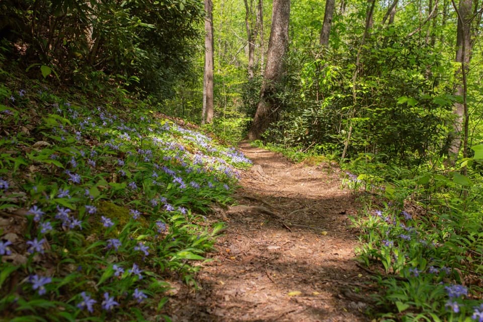
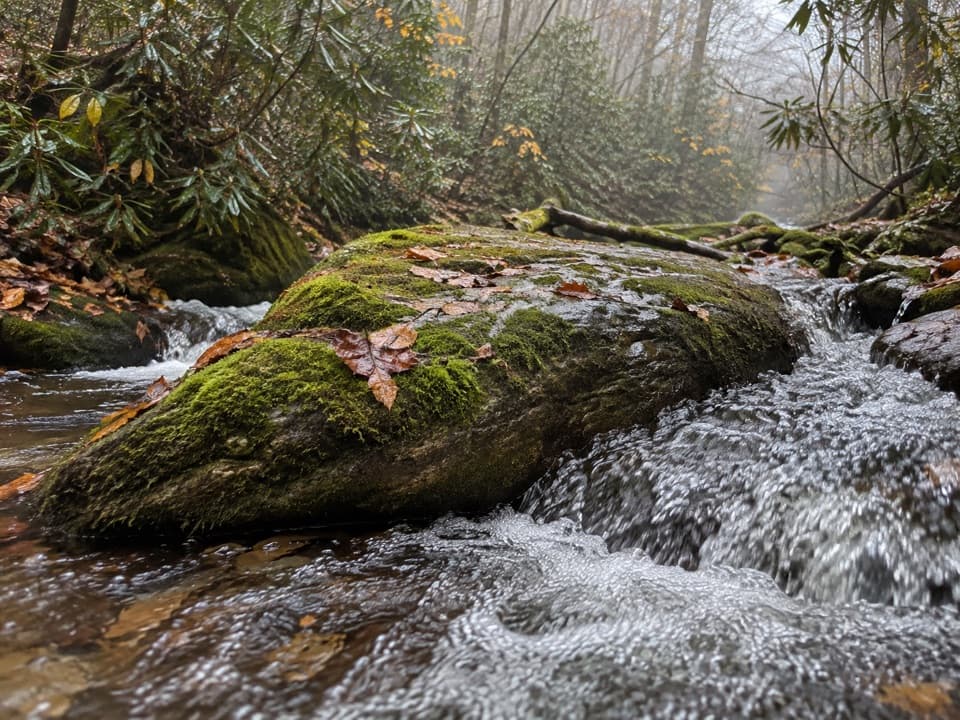
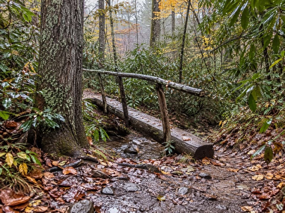
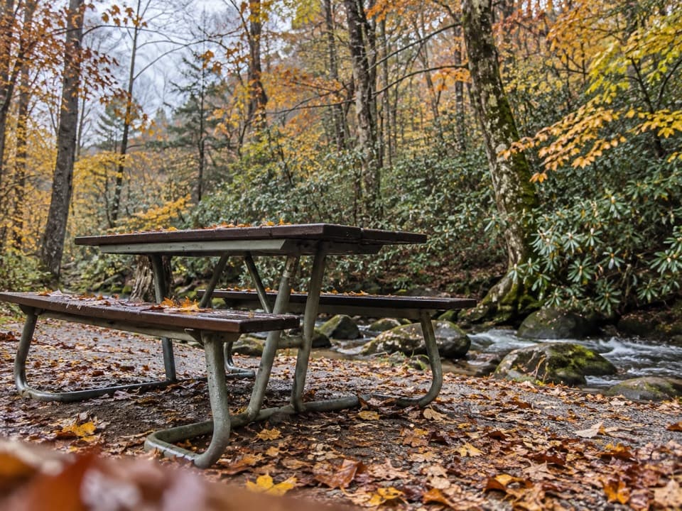
Creekside woods, then a hard climbLead Cove starts under mixed hardwoods beside Sugar Cove Prong.

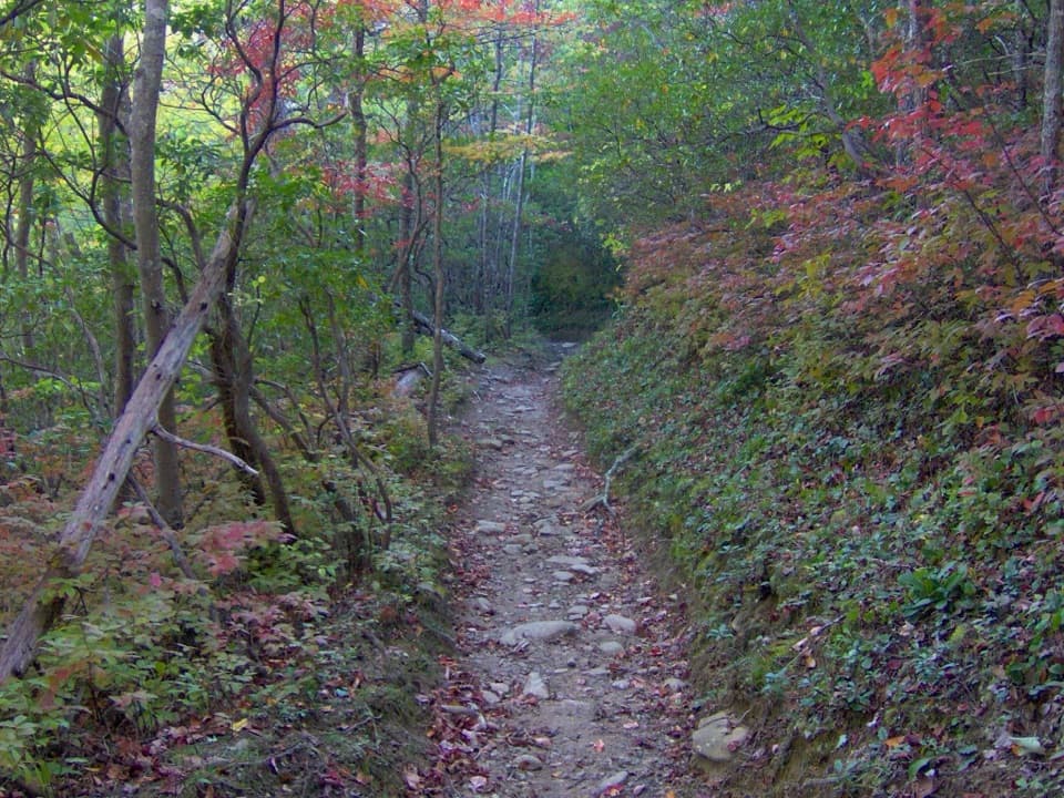
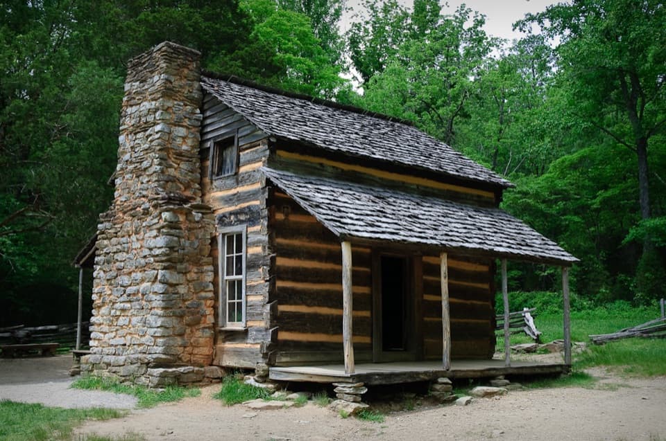
Lead Cove starts under mixed hardwoods beside Sugar Cove Prong. You cross the creek on a couple of rock hops and pass the remains of a homestead before the trail leaves the water and climbs steadily. At about 1.8 miles, after roughly 1,200 feet of gain, it meets Bote Mountain Trail. Turn right and keep climbing. The grade eases and steepens in turns; expect rough, sometimes sunken tread.

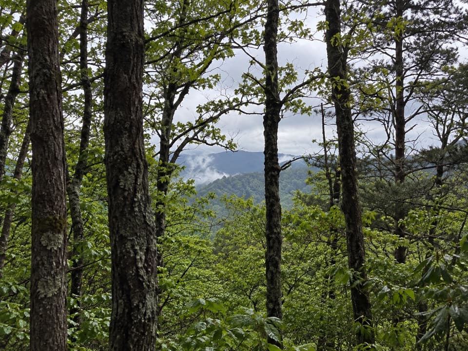
Rhododendron tunnels and the Appalachian TrailBote Mountain runs through open pine and oak with occasional looks toward Defeat Ridge, then…

Bote Mountain runs through open pine and oak with occasional looks toward Defeat Ridge, then narrows into long rhododendron tunnels. Around three miles from the start, Anthony Creek Trail joins from the right; stay on Bote Mountain. The AT junction comes at roughly 4.7 miles. Continue a short way along the AT to the meadow. Spence Field can be easy to miss in the forest, so look for the opening itself; the shelter is a separate stop in the other direction. Rocky Top lies farther along the AT and is an additional climb, outside this route.

A field made by peopleLocal histories describe this as a pasture cleared for livestock, rather than a natural bald,…

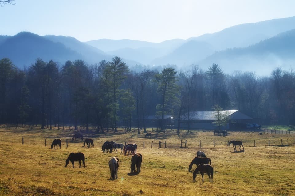
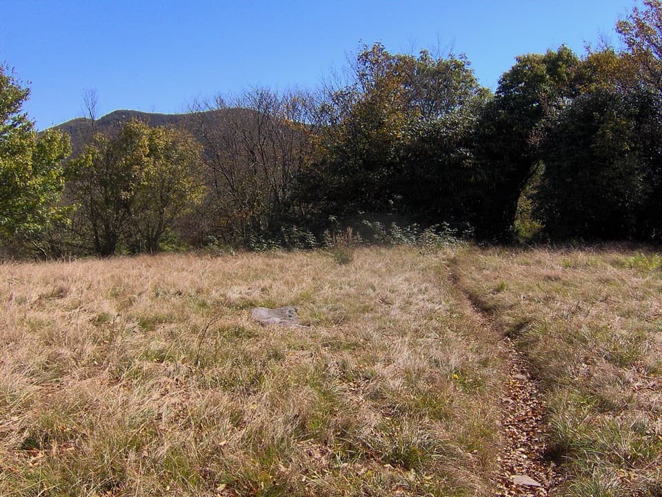
Local histories describe this as a pasture cleared for livestock, rather than a natural bald, and connect the name to James Spence, a Cades Cove resident who grazed animals here. One account dates his cabin to 1830; it no longer stands. Rhododendron edges the field, with a ridge rising beyond it. June is a good bet for mountain laurel bloom. Winter often gives clearer views through the bare trees. For a photo, use the narrow path across the grass as a foreground line and keep the wooded ridge in the frame.

A shorter taste of the routeIf a full day is too much, turn around at the Bote Mountain junction for about 3.

If a full day is too much, turn around at the Bote Mountain junction for about 3.6 miles round trip. You still get the creekside woods and homestead remains, but miss the long ridge climb and Spence Field. To make the day longer, Rocky Top is about 1.2 miles beyond the field on the AT, with a substantial extra climb.

Access and suppliesStart at the Lead Cove roadside pull-off on Laurel Creek Road.

Start at the Lead Cove roadside pull-off on Laurel Creek Road. The park describes two paved pull-offs serving this trail area; a parking tag is required if you stay more than 15 minutes. The nearest restroom is at Cades Cove Picnic Area, a separate stop. There is no verified food or water stop on the route, so carry what you need for the day. Pets are not allowed on this trail.

Wildlife

Wildlife in Great Smoky Mountains

All Great Smoky Mountains wildlife maps

Sighting maps show where each species has been reported across Great Smoky Mountains. Wildlife moves, so no sighting is guaranteed.

Keep exploring

Near Spence Field via Lead Cove Trail

See it all on the map

Trails that start nearby

Places near the trailhead

Parkwolf’s Great Smoky Mountains ranking

Top-rated trails in Great Smoky Mountains

All 197 trails
  1. 1Mount Le Conte via Alum Cave TrailChallenging · 10 mi
  2. 2Charlies Bunion via Appalachian TrailModerate · 8 mi
  3. 3Alum Cave Trail to Alum Cave BluffsModerate · 4.6 mi
  4. 4Ramsey Cascades TrailChallenging · 8 mi
  5. 5Mount Cammerer TrailChallenging · 11.1 mi
  6. 6Gregory Ridge TrailChallenging · 11.4 mi

Take Parkwolf to Great Smoky Mountains.

The audio tour guide for the drive, plus offline maps, trails, and wildlife heatmaps for when the signal drops.

4.7 from 8,600+ ratings

Download Parkwolf on the App StoreGet Parkwolf on Google Play